Winter
Summer
Weather
Webcams
Accommodations
Tours
Search history
Search suggestions
No results found
Search
Tours
Home
Summer Österreich
Salzburg
Tours
fanningsberg
Ski resorts
Snow parks
Cross-country skiing
Weather
Webcams
Snow reports
Accommodations
Offers
Sports provider
Events
Summer
Tours
fanningsberg
Hiking
Bookmark
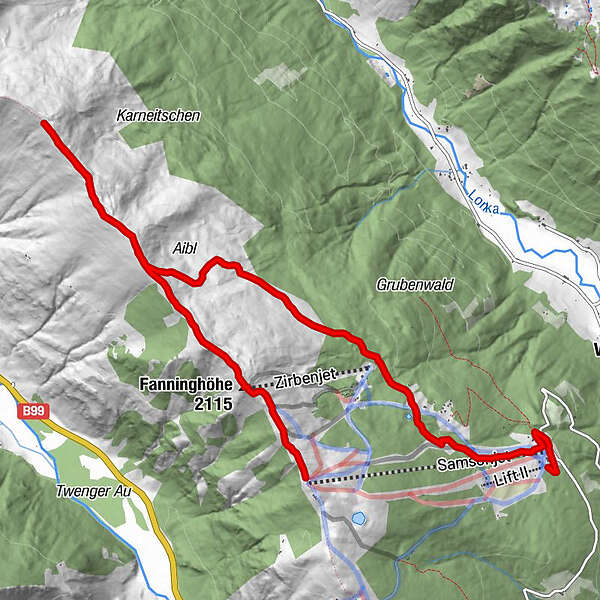
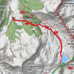
Map
show
hide
Print
Tour data
11
km
- 2,158
m
Distance
309
hm
836
hm
Ascent
03:42
h
Duration
Bastiaan Koekoek
created am 18.07.2019
6
Views
(Status: unofficial)
Highest point
2,158 m
Report tour
GPS Downloads
GPX
GPS Exchange Format (XML)
KML
Google Earth, Google Maps
QR Download Codes for Mobile Phones
fanningsberg
QR Codes - tour download for cell phones
GPX
KML
Other tours in the regions
Katschberg Lieser-Maltatal
2556
Lungau - Ferienregion
871
Weißpriach
207
Popular tours in the area
Mosermandl (2680m)
difficult
Hiking
16.34
km |
1442
hm |
06:45
h
Höchstein (2.543 m)
difficult
Hiking
11.25
km |
805
hm |
06:00
h
Schladming - Hochgolling
difficult
Hiking
20.64
km |
1731
hm |
10:30
h
From the Vögeialm to the Oberhüttensee
easy
Hiking
3.13
km |
465
hm |
01:30
h
No entries found.
The search is currently not available.
Please refine your search.
Local search results
(<= 25km)
More results
(> 25km)
%count% Search results
%name%
%type%
%elevation%
%population%
%lpButton%