

Tour data
13.25km
461
- 1,090m
704hm
629hm
05:00h
- Brief description
-
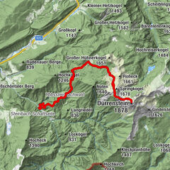
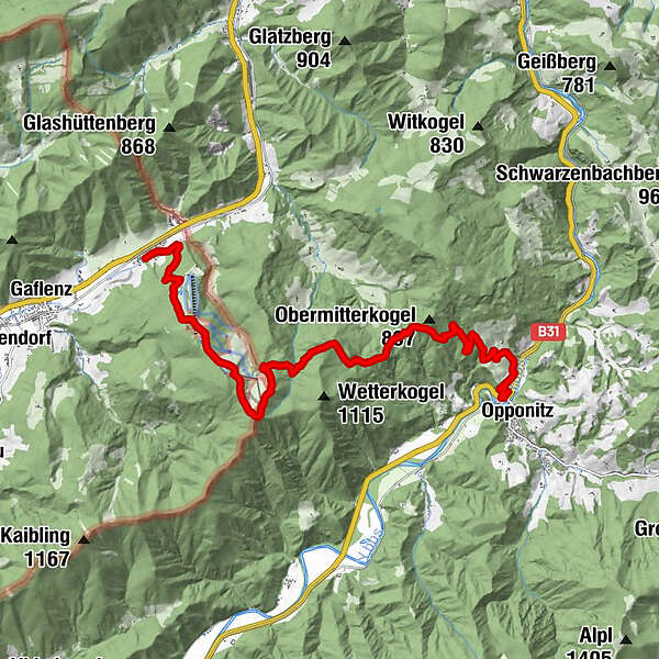
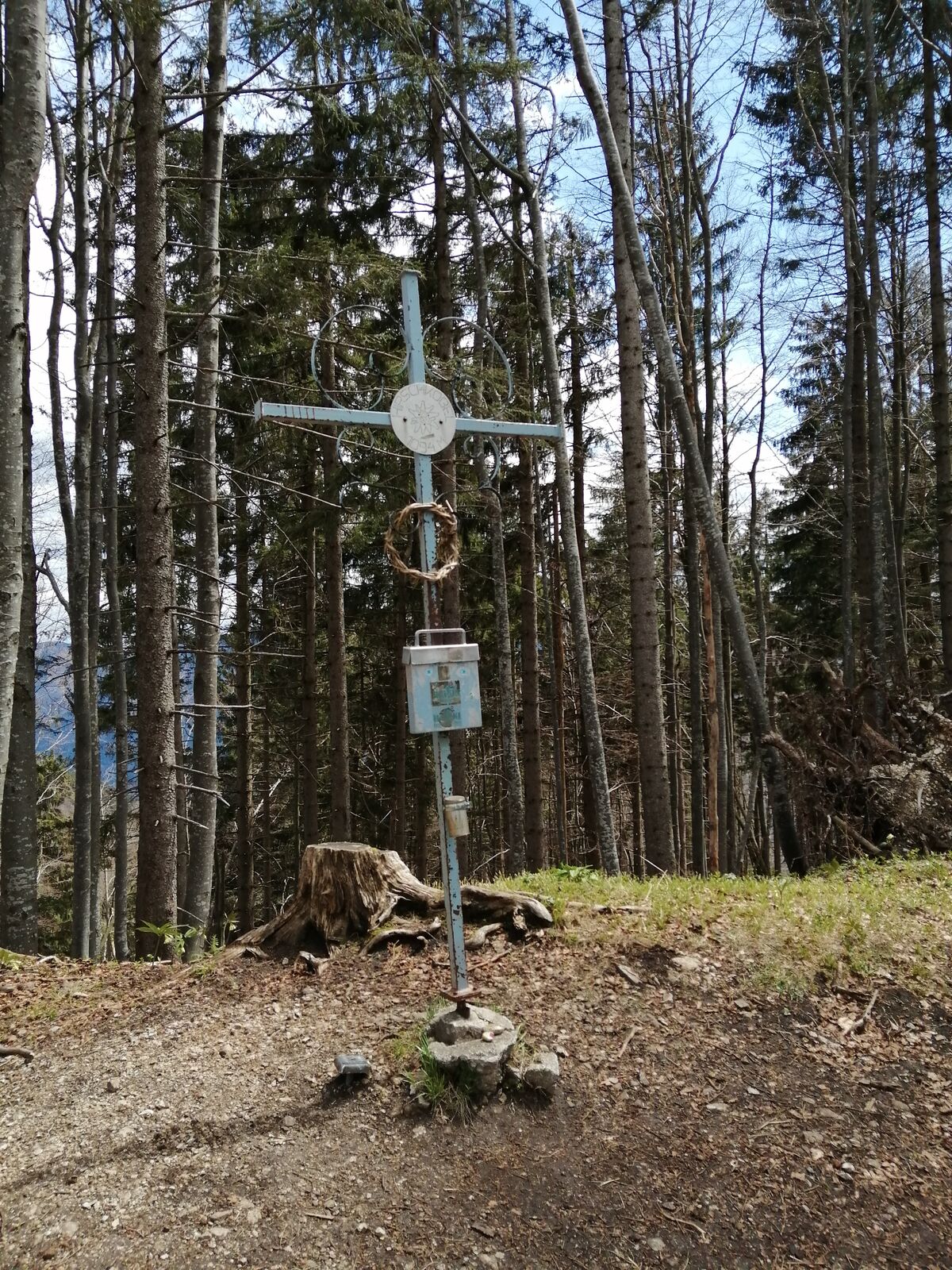
Vom Busbahnhof in Opponitz und über den Hirschenkogel nach Oberland
- Difficulty
-
medium
- Rating
-
- Starting point
-
Busbahnhof Opponitz
- Route
-
Bruckwirt0.0 kmAmstettner Hütte7.6 kmHirschkogel (1,094 m)8.7 kmGasthaus Kases13.1 kmOberland13.2 km
- Best season
-
JanFebMarAprMayJunJulAugSepOctNovDec
- Highest point
- 1,090 m
- Endpoint
-
Haltestelle Oberland
- Rest/Retreat
-
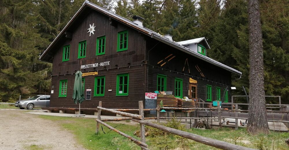
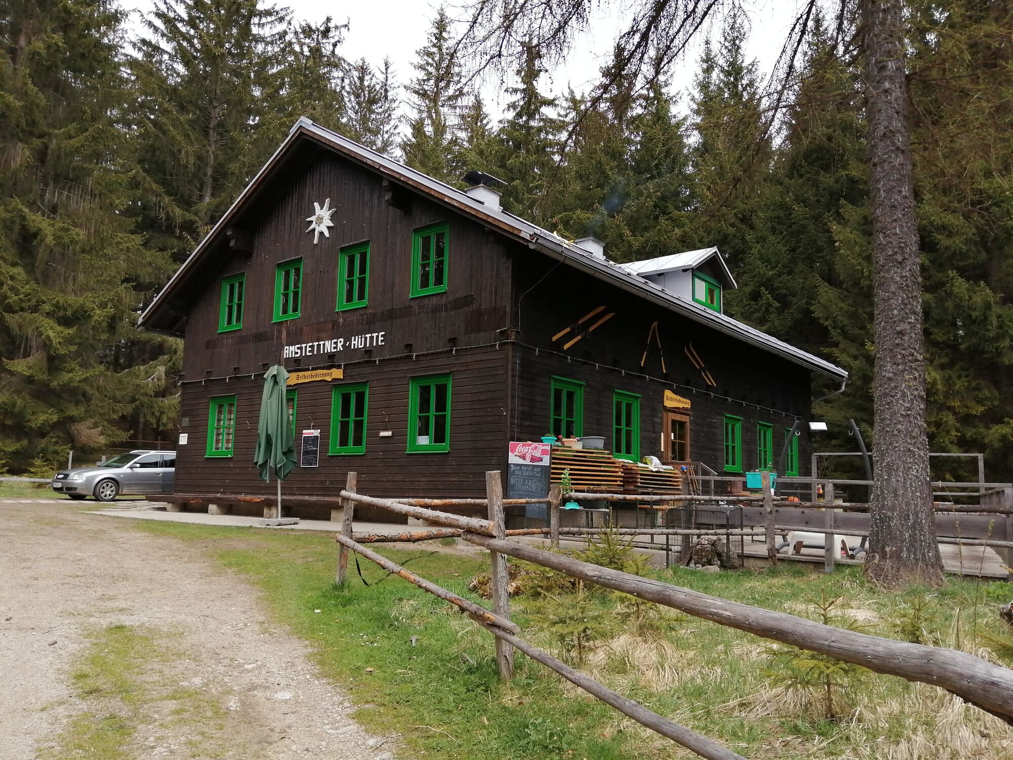
Amstettner Hütte,
07353 570
www.alpenverein.at/amstettnerhuette/

- Source
- Jürgen Birgl
GPS Downloads


Trail conditions
Asphalt
Gravel
Meadow
Forest
Rock
Exposed
Other tours in the regions
-
Mostviertel
2453
-
Melker Alpenvorland
797
-
Opponitz
236