Winter
Summer
Weather
Webcams
Accommodations
Tours
Search history
Search suggestions
No results found
Search
Tours
Home
Summer Österreich
Tyrol
Tours
Penkenjochhaus
Ski resorts
Snow parks
Cross-country skiing
Weather
Webcams
Snow reports
Accommodations
Offers
Sports provider
Events
Summer
Tours
Penkenjochhaus
Hiking
Bookmark
Map
show
hide
Print
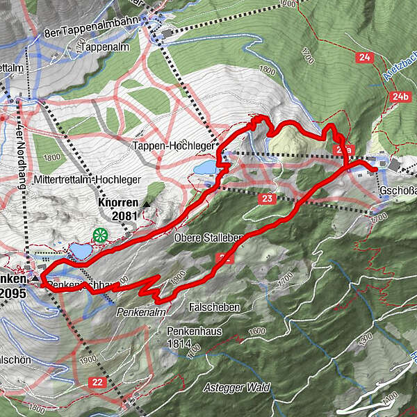
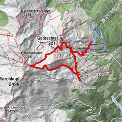
Tour data
6.4
km
1,788 - 2,083
m
Distance
340
hm
340
hm
Ascent
01:38
h
Duration
Skipper877
created am 24.07.2019
5
Views
(Status: unofficial)
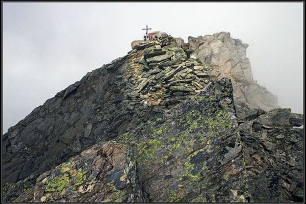
Highest point
2,083 m
Report tour
GPS Downloads
GPX
GPS Exchange Format (XML)
KML
Google Earth, Google Maps
QR Download Codes for Mobile Phones
Penkenjochhaus
QR Codes - tour download for cell phones
GPX
KML
Other tours in the regions
Mayrhofen - Hippach
1030
Finkenberg
263
Popular tours in the area
Mizun reservoir - Kristallhütte - Stoamandlweg - Wimbachkopf - Wede...
Hiking
10.47
km |
633
hm |
03:47
h
Ahornspitze
medium
Hiking
9.93
km |
1004
hm |
05:15
h
Hinterhornalm
Hiking
7.67
km |
654
hm |
03:00
h
Loassattel - Kuhmesser - Kellerjoch - Kellerjoch Kapelle - Hocheben...
medium
Hiking
8.7
km |
605
hm |
03:00
h
No entries found.
The search is currently not available.
Please refine your search.
Local search results
(<= 25km)
More results
(> 25km)
%count% Search results
%name%
%type%
%elevation%
%population%
%lpButton%