Winter
Summer
Weather
Webcams
Accommodations
Tours
Search history
Search suggestions
No results found
Search
Tours
Home
Summer Österreich
Tyrol
Tours
talbach
Ski resorts
Snow parks
Cross-country skiing
Weather
Webcams
Snow reports
Accommodations
Offers
Sports provider
Events
Summer
Tours
talbach
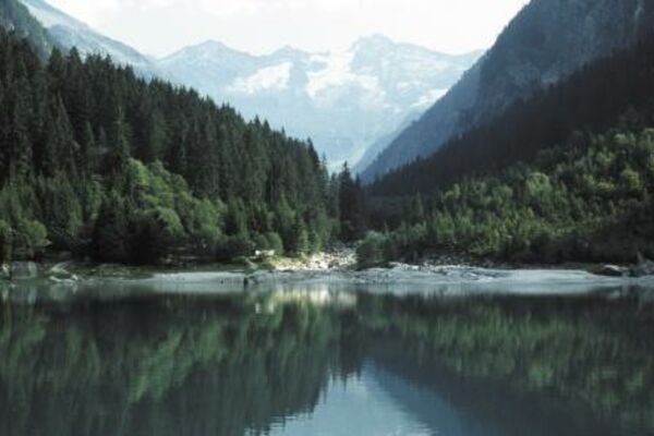
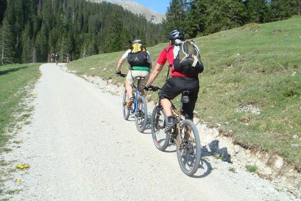
Mountainbike
Bookmark
Map
show
hide
Print
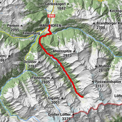
Tour data
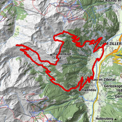
6.9
km
579 - 726
m
Distance
207
hm
214
hm
Ascent
-
Duration
Tobias Wobben
created am 23.07.2019
0
Views
(Status: unofficial)
Highest point
726 m
Report tour
GPS Downloads
GPX
GPS Exchange Format (XML)
KML
Google Earth, Google Maps
QR Download Codes for Mobile Phones
talbach
QR Codes - tour download for cell phones
GPX
KML
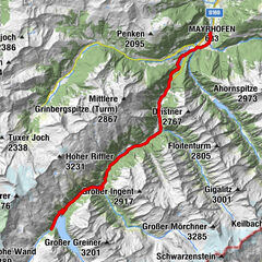
Other tours in the regions
Mayrhofen - Hippach
183
Hippach
38
Popular tours in the area
Mayrhofen-Stilluptal
medium
Mountainbike
18.45
km |
1064
hm |
02:00
h
Mayrhofen - Zemmschlucht - Ginzling - Schlegeisstausee
difficult
Mountainbike
25.52
km |
1197
hm |
02:30
h
Mayrhofen - Zillergrund - Bärenbad
Mountainbike
17.69
km |
910
hm |
02:30
h
Zillertaler Höhenstraße und Rastkogelhütte mit Wanderung zum Sidanjoch
difficult
Mountainbike
41.11
km |
1870
hm |
06:00
h
No entries found.
The search is currently not available.
Please refine your search.
Local search results
(<= 25km)
More results
(> 25km)
%count% Search results
%name%
%type%
%elevation%
%population%
%lpButton%