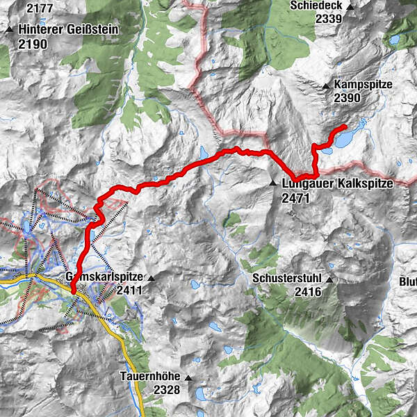
Tour data
11.5km
1,740 - 2,308m
Distance
572hm
818hm
Ascent
-
 
Duration
Brief description

Tour2_0729

Difficulty
medium
Rating
Technique
Fitness
Landscape
Experience
Highest point
2,308 m
GPS Downloads
  • GPX GPS Exchange Format (XML)
  • KML Google Earth, Google Maps
QR Download Codes for Mobile Phones
Other tours in the regions

Popular tours in the area

Tauernkarsee

easy Hiking
4.26km | 380hm | 02:00h

Steirische and Lungauer Kalkspitze summits via Kranzl

difficult Hiking
10.91km | 926hm | 05:10h

Mosermandl (2680m)

difficult Hiking
16.34km | 1442hm | 06:45h

Silberkarklamm

medium Hiking
4.82km | 329hm | 03:30h