Winter
Summer
Weather
Webcams
Accommodations
Tours
Search history
Search suggestions
No results found
Search
Tours
Home
Summer Österreich
Tyrol
Tours
thuiswandeling
Ski resorts
Snow parks
Cross-country skiing
Weather
Webcams
Snow reports
Accommodations
Offers
Sports provider
Events
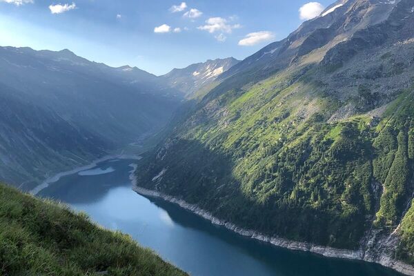
Summer
Tours
thuiswandeling
Hiking
Bookmark
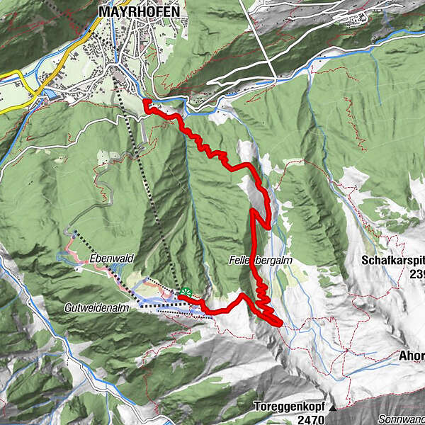
Map
show
hide
Print
Tour data
7.49
km
- 2,000
m
Distance
120
hm
1,402
hm
Ascent
01:48
h
Duration
thieugie
created am 20.07.2019
2
Views
(Status: unofficial)
Highest point
2,000 m
Report tour
GPS Downloads
GPX
GPS Exchange Format (XML)
KML
Google Earth, Google Maps
QR Download Codes for Mobile Phones
thuiswandeling
QR Codes - tour download for cell phones
GPX
KML
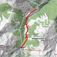
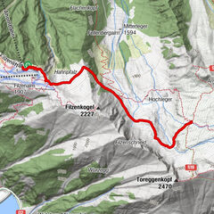
Other tours in the regions
Mayrhofen - Hippach
1030
Brandberg
241
Popular tours in the area
Zillergrund - Hohenaualm "Klein Tibet"
Hiking
3.9
km |
86
hm |
01:11
h
Hochfügen - Huberwinkelalm - Schellenberg
easy
Hiking
5.8
km |
100
hm |
01:26
h
Kreuzjoch
medium
Hiking
6.09
km |
758
hm |
04:30
h
Edelhütte
easy
Hiking
3.16
km |
293
hm |
02:00
h
No entries found.
The search is currently not available.
Please refine your search.
Local search results
(<= 25km)
More results
(> 25km)
%count% Search results
%name%
%type%
%elevation%
%population%
%lpButton%