Winter
Summer
Weather
Webcams
Accommodations
Tours
Search history
Search suggestions
No results found
Search
Tours
Home
Summer Österreich
Upper Austria
Tours
Saaß
Ski resorts
Snow parks
Cross-country skiing
Weather
Webcams
Snow reports
Accommodations
Offers
Sports provider
Events
Summer
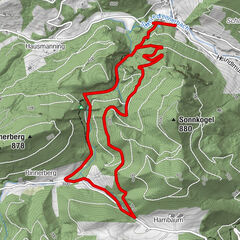
Tours
Saaß
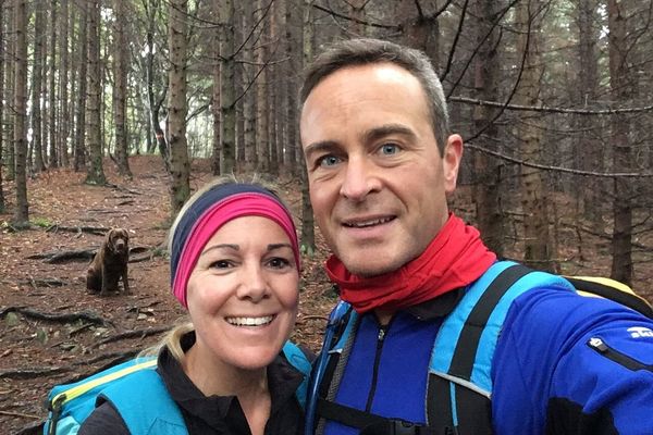
Hiking
Bookmark
Map
show
hide
Print
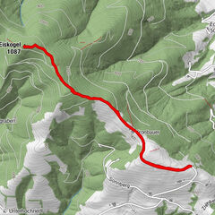
Tour data
31.14
km
322 - 482
m
Distance
456
hm
456
hm
Ascent
02:02
h
Duration
Hermann Grossbichler
created am 22.07.2019
4
Views
(Status: unofficial)
Highest point
482 m
Report tour
GPS Downloads
GPX
GPS Exchange Format (XML)
KML
Google Earth, Google Maps
QR Download Codes for Mobile Phones
Saaß
QR Codes - tour download for cell phones
GPX
KML
Other tours in the regions
Traunviertel
1942
Tourismusregion Bad Hall
772
Waldneukirchen
311
Popular tours in the area
Rinnerberger Wasserfall - Klamm
medium
Hiking
7.55
km |
272
hm |
02:27
h
Hohe Dirn über Hintsteinrunde
easy
Hiking
6.77
km |
418
hm |
01:59
h
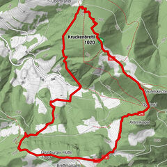
Grünburger Hütte
medium
Hiking
8.55
km |
542
hm |
03:00
h
Eiskogel,Steinbach am Ziehberg
medium
Hiking
5.71
km |
196
hm |
01:43
h
No entries found.
The search is currently not available.
Please refine your search.
Local search results
(<= 25km)
More results
(> 25km)
%count% Search results
%name%
%type%
%elevation%
%population%
%lpButton%