


- Brief description
-
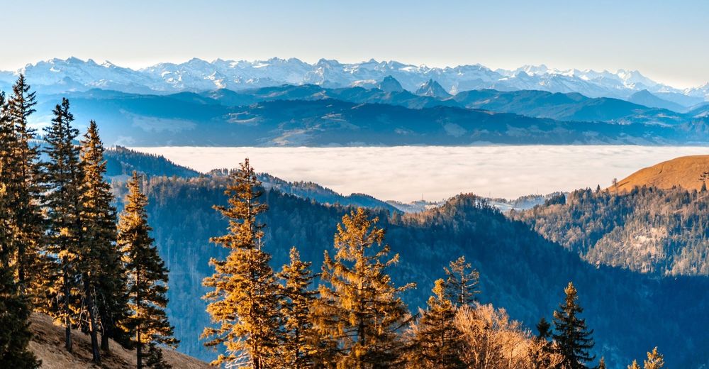
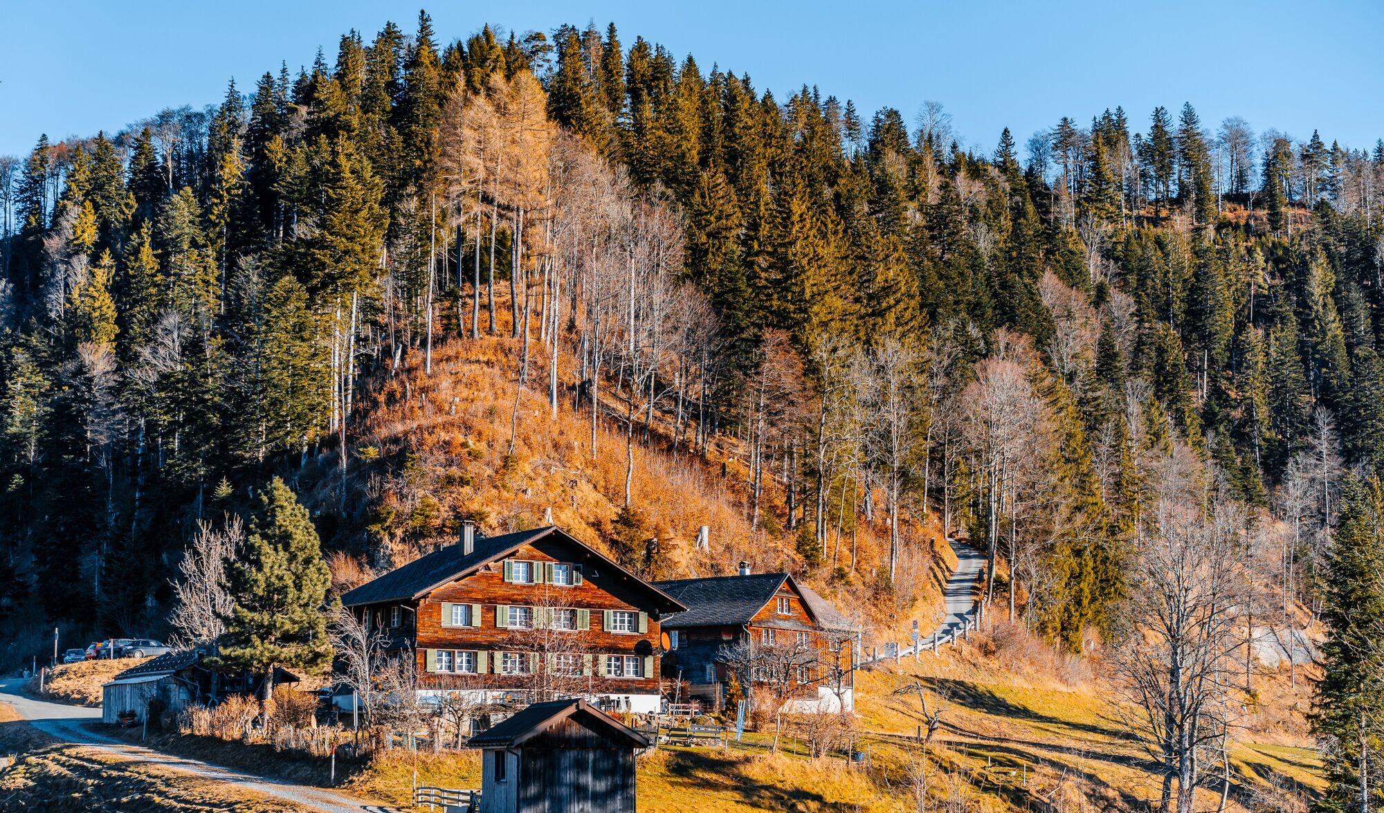
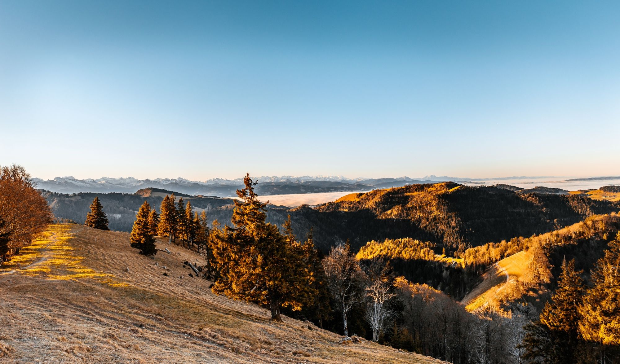
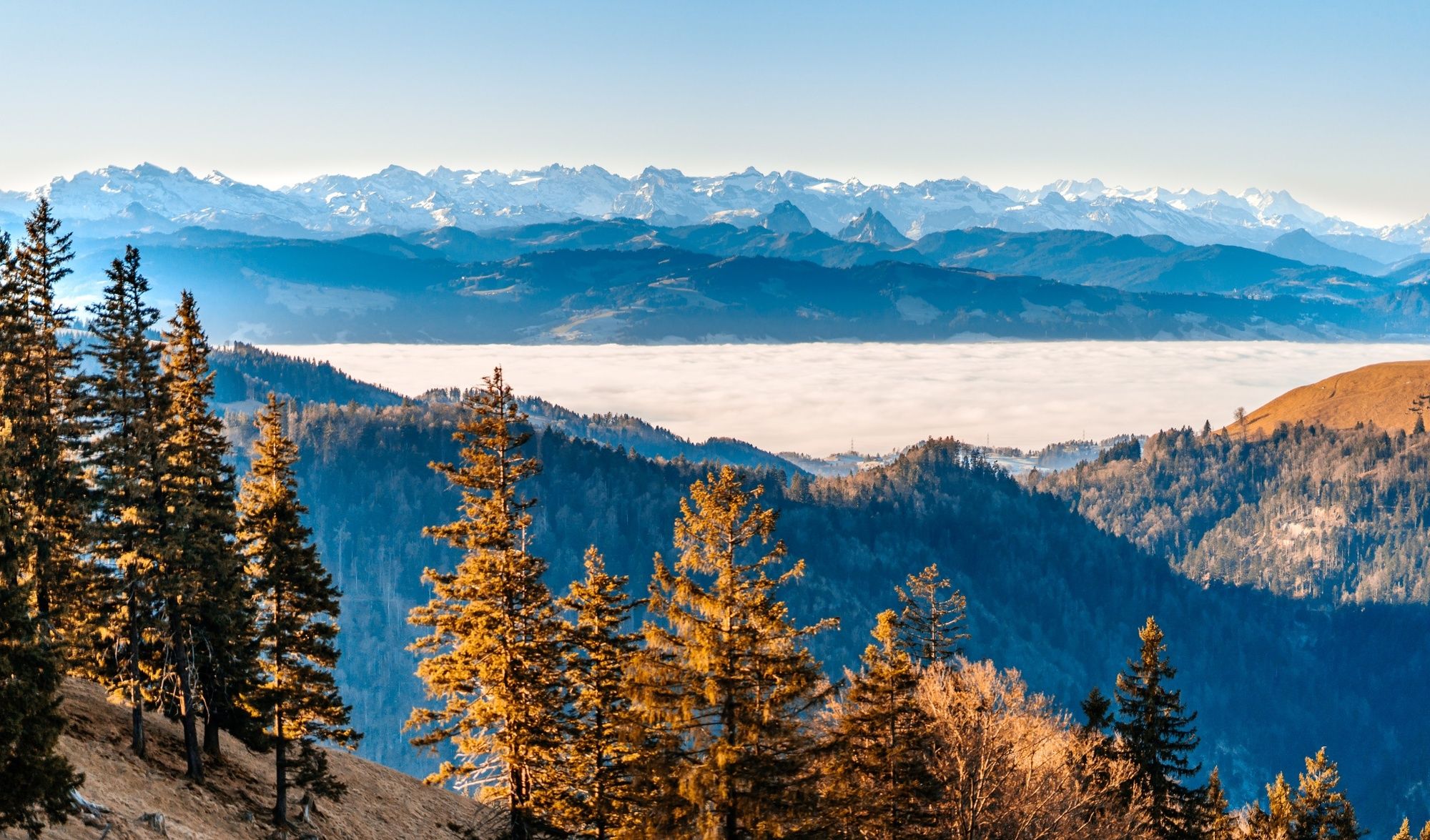
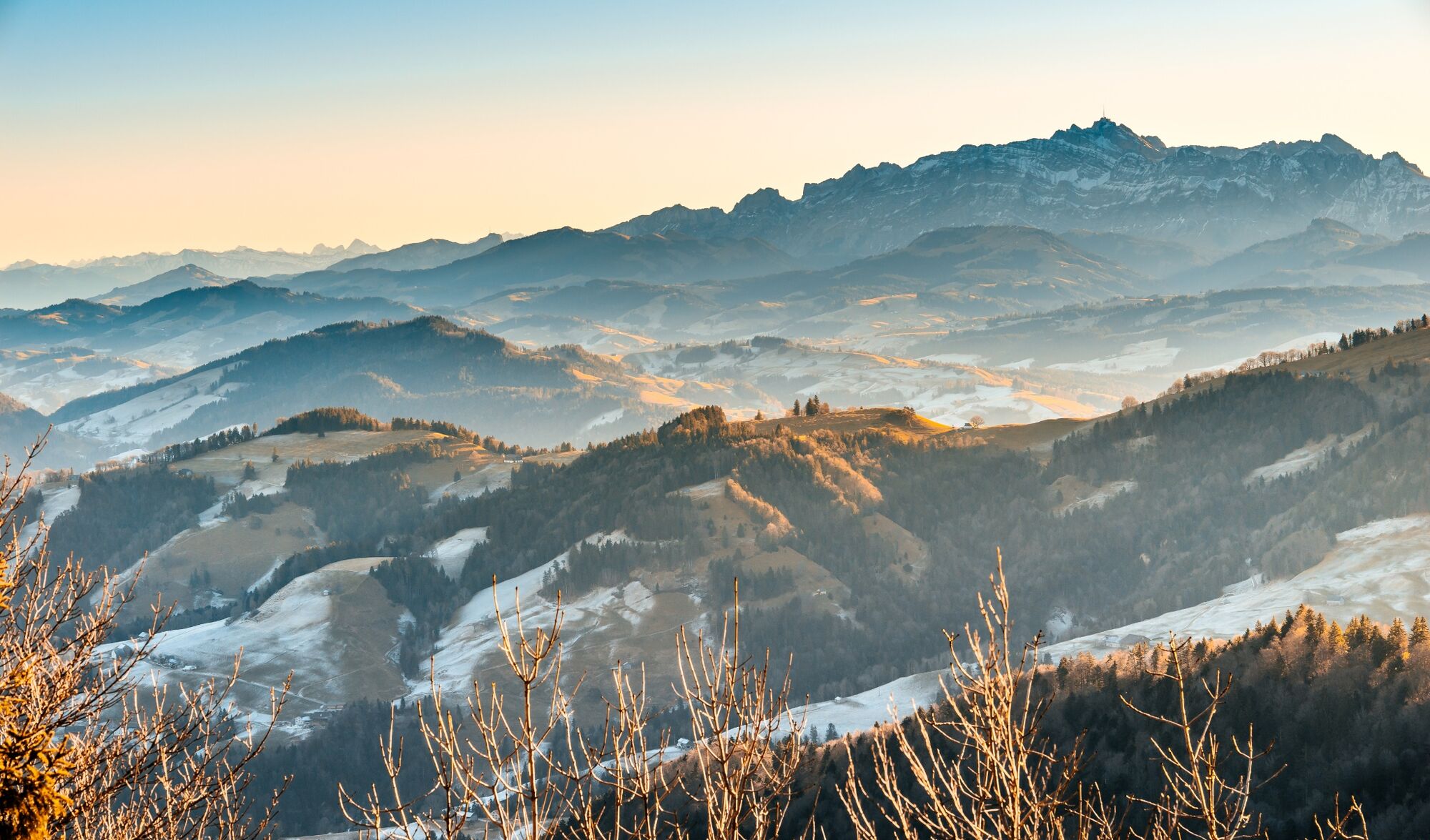
Eine aussichtsreiche Rundwanderung von Bärloch vorbei an der Alpwirtschaft Tierhag, hoch auf das Schnebelhorn, zurück über die Berggasthaus Sennhütte und die Hinterstarhlegg nach Bärloch.
- Difficulty
-
medium
- Rating
-
- Route
-
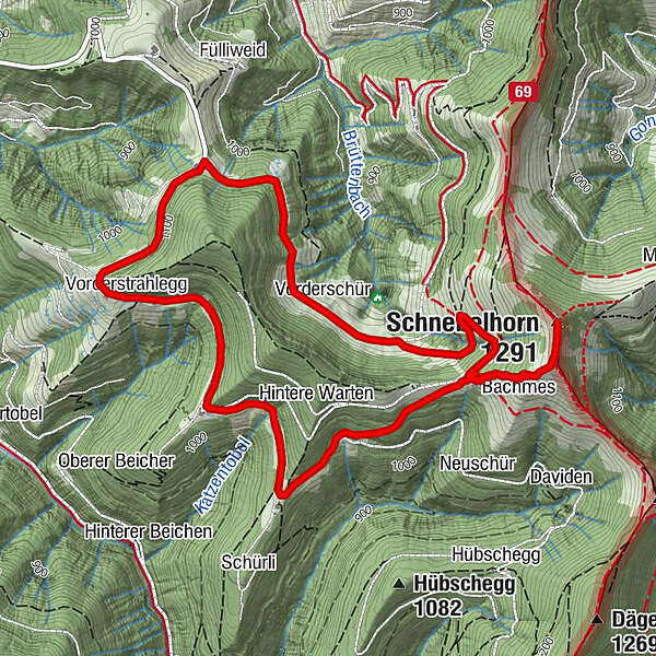
Vorderschür1.0 kmUndere Burebode1.3 kmSchnebelhorn (1,291 m)2.8 kmAlpwirtschaft Tierhag3.4 kmBerggasthaus Sennhütte4.3 kmVorderstrahlegg5.8 km
- Best season
-
JanFebMarAprMayJunJulAugSepOctNovDec
- Highest point
- 1,285 m
- Endpoint
-
TCS Parkplatz Bärloch
- Height profile
-
 © outdooractive.com
-

-
AuthorThe tour TCS Wanderung: «Bärloch – Schnebelhorn – Bärloch» is used by outdooractive.com provided.
GPS Downloads


General info
Refreshment stop
A lot of view
Other tours in the regions
-
Toggenburg
1777
-
Goldingen - Atzmännig
775
-
Fischenthal
222


