


- Brief description
-
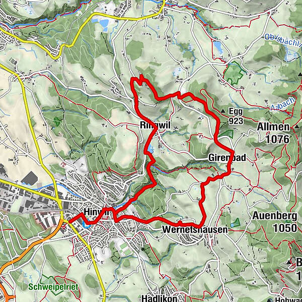
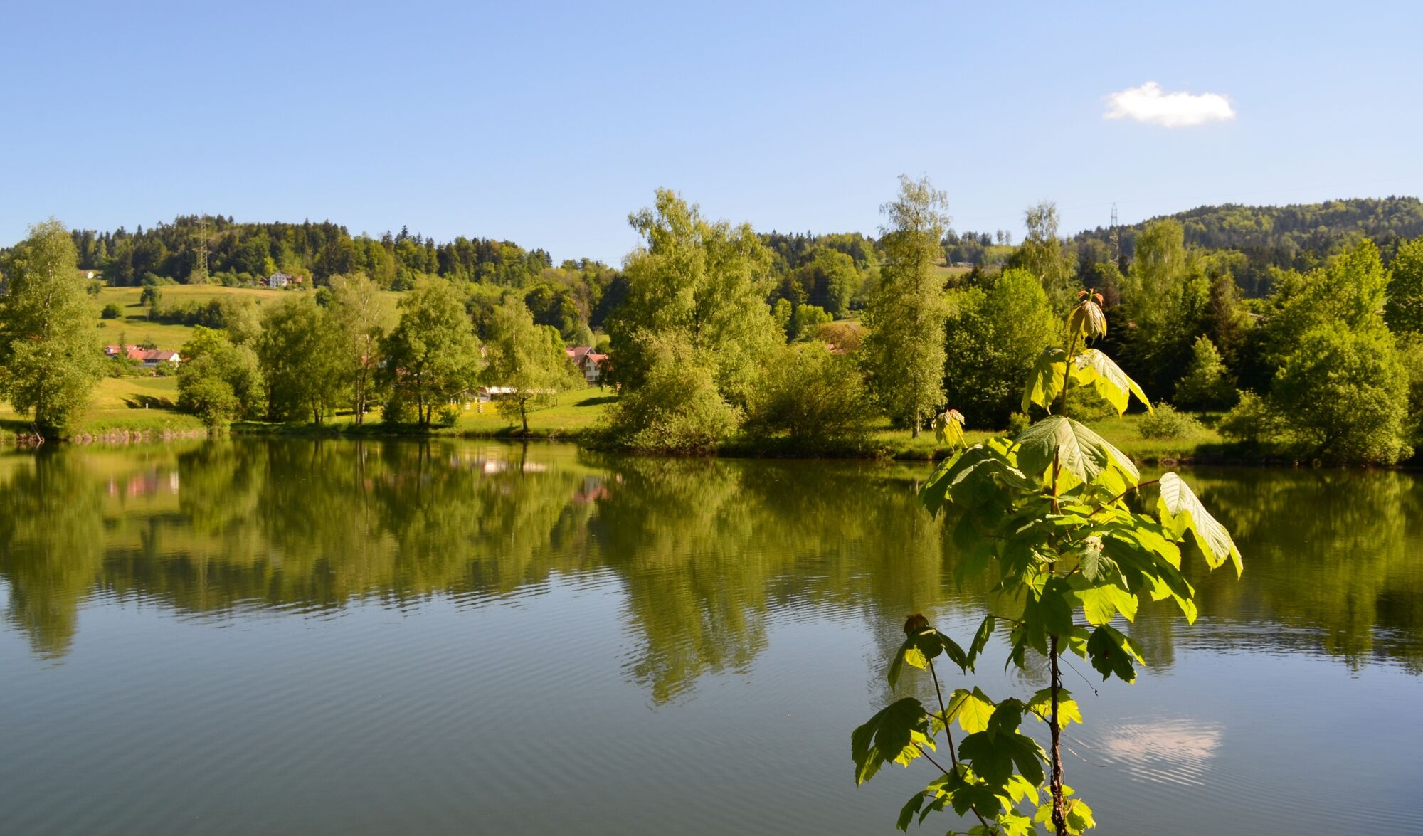
Verschiedene Molkereien und Käsereien, eine vielfältige Landschaft und ein atemberaubender Blick in die Voralpen machen diese Wanderung zum Erlebnis.
- Difficulty
-
easy
- Rating
-
- Route
-
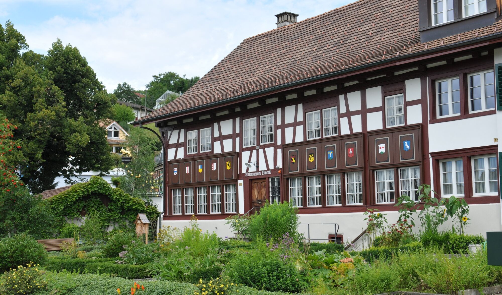
Hinwil (565 m)0.4 kmHinwil0.7 kmChrischona-Gemeinde0.8 kmRef. Kirche1.3 kmWernetshausen2.7 kmGirenbad4.4 kmSchofrain4.9 kmEhretstock5.9 kmChopfholz7.3 kmBäsebeiz Chopfholz7.3 kmRingwil8.5 kmRingwilerbach-Wasserfall9.2 kmHinwil10.6 km
- Best season
-
JanFebMarAprMayJunJulAugSepOctNovDec
- Highest point
- 859 m
- Endpoint
-
Girenbad
- Height profile
-
 © outdooractive.com
-

-
AuthorThe tour Hinwil – Ringwil – Hinwil is used by outdooractive.com provided.
GPS Downloads


General info
Refreshment stop
Cultural/Historical
Other tours in the regions
-
Schwyz
1748
-
Zürcher Oberland
596
-
Hinwil
206


