
- Brief description
-
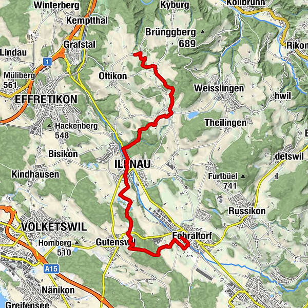
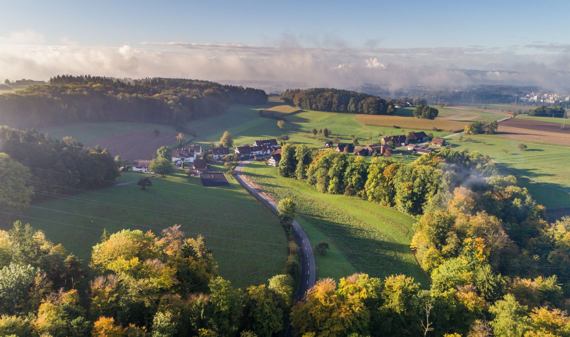
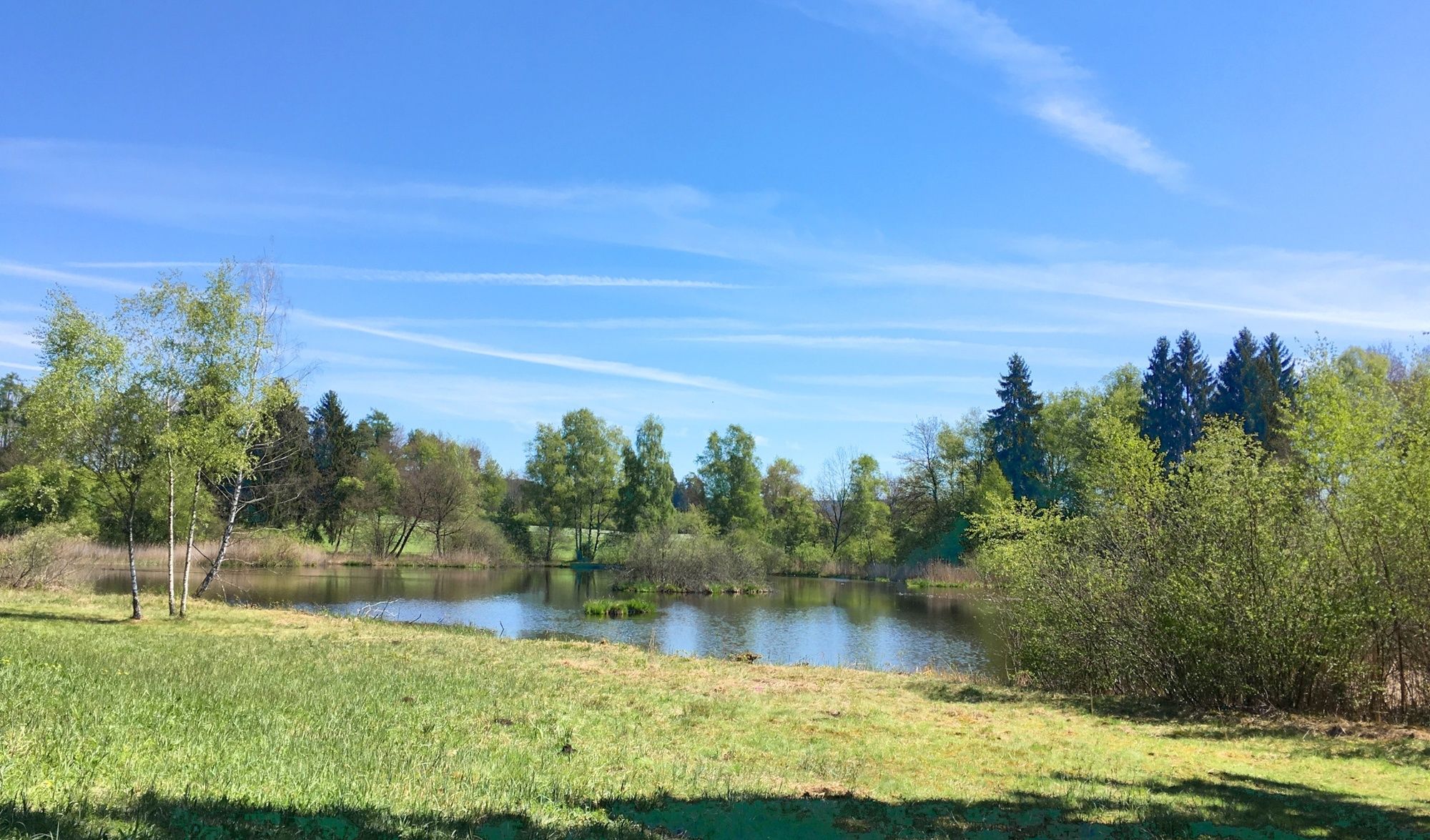
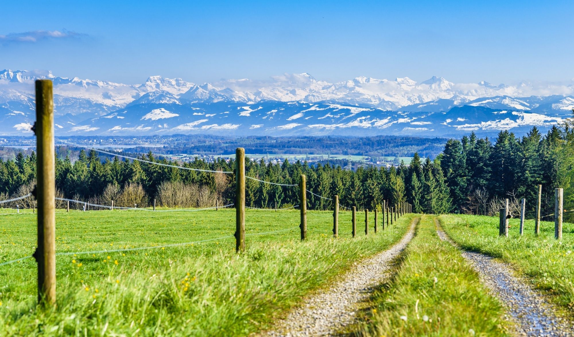
Über kleine Bachläufe und an Weihern vorbei durchqueren Sie auf der vierstündigen Wanderung das Natuschutzgebiet «Wildert» und folgen im Sagiweihertobel dem Hüenerbach nach Billikon.
- Difficulty
-
medium
- Rating
-
- Route
-
Fehraltorf0.3 kmBurgwis1.5 kmForsthaus Sackholz1.9 kmGutenswil3.0 kmEgg (575 m)3.0 kmIm Wildert4.5 kmIllnau (517 m)6.5 kmUnterillnau6.5 kmOberillnau7.0 kmTätschfels8.3 kmAgasul9.8 kmFirst11.6 kmBillikon12.9 kmBillikon13.1 km
- Best season
-
JanFebMarAprMayJunJulAugSepOctNovDec
- Highest point
- 684 m
- Endpoint
-
Billikon
- Height profile
-
 © outdooractive.com
-

-
AuthorThe tour Fehraltorf - Billikon: «die Erfrischende» is used by outdooractive.com provided.
GPS Downloads


General info
Refreshment stop
Other tours in the regions
-
SchaffhauserLand
1027
-
Zürcher Oberland
596
-
Fehraltorf
162