


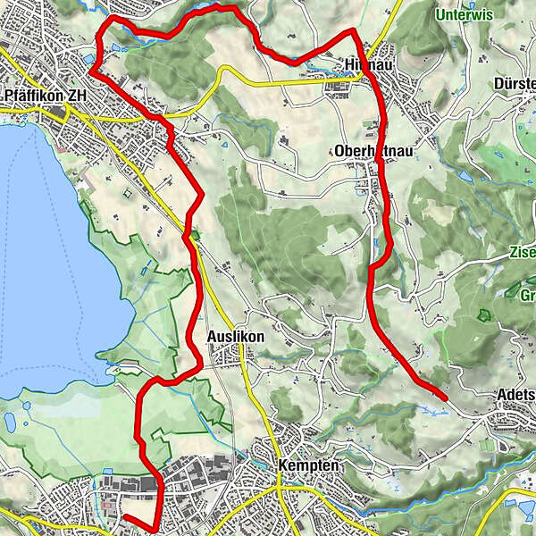
Tour data
13.83km
540
- 735m
20hm
211hm
00:49h
- Brief description
-
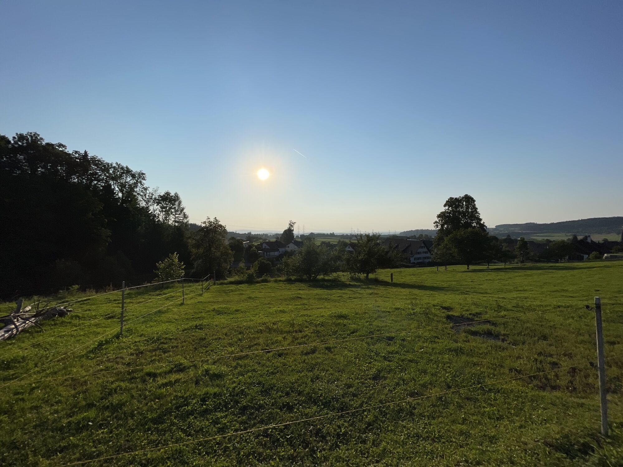
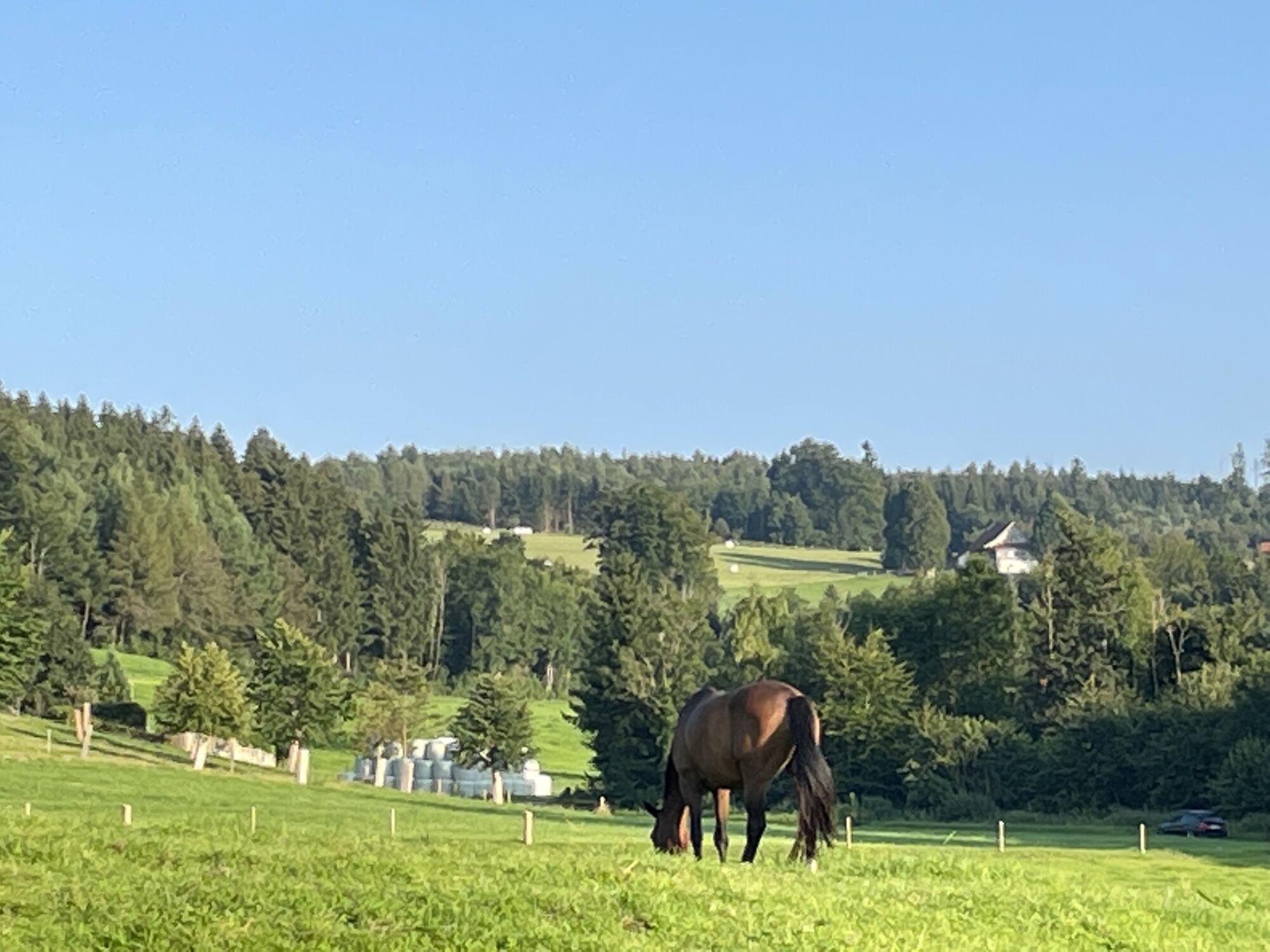
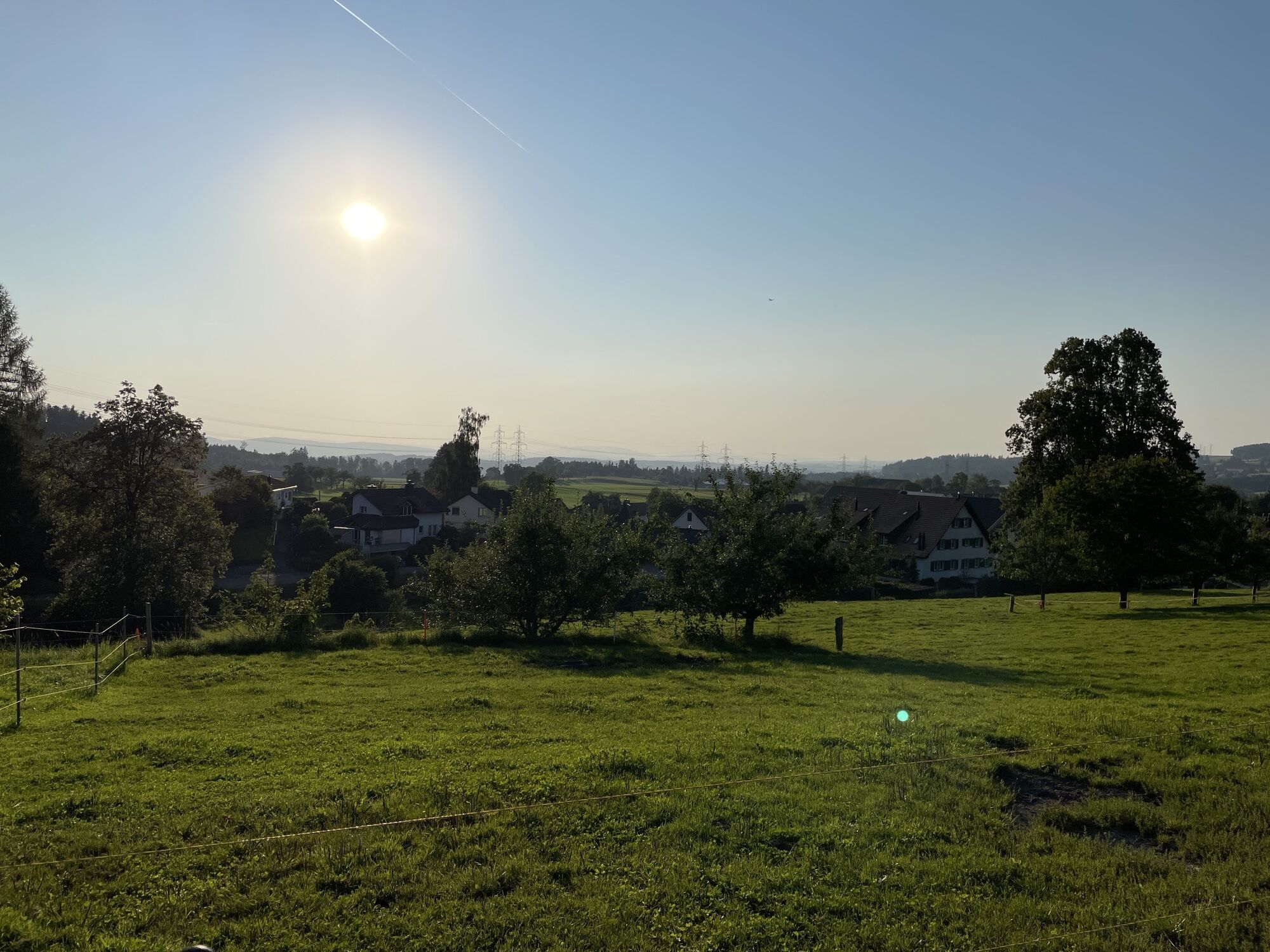
Wetzikon Kemptner Tobel
- Difficulty
-
medium
- Rating
-
- Route
-
Egglen0.6 kmOberhittnau2.7 kmWilden Mann2.7 kmReformierte Kirche Hittnau2.7 kmHittnau (640 m)3.6 kmGasthaus Sonne3.6 kmBalchenstal5.1 kmLuppmen-Wasserfall5.8 kmBerg7.0 kmPfäffikon ZH7.6 kmSitzbühl10.0 kmAuslikon11.3 kmWetzikon (535 m)13.5 km
- Highest point
- 735 m
GPS Downloads


Other tours in the regions
-
Schwyz
22
-
Zürcher Oberland
7
-
Pfäffikon ZH
6