


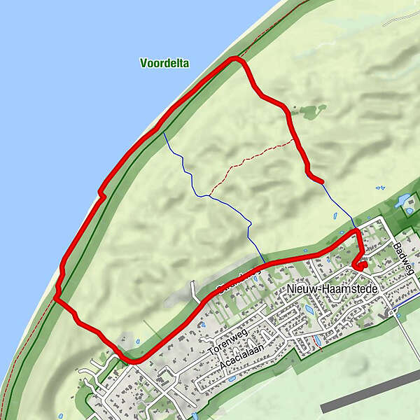
Tour data
5.12km
1
- 18m
20hm
30hm
01:24h
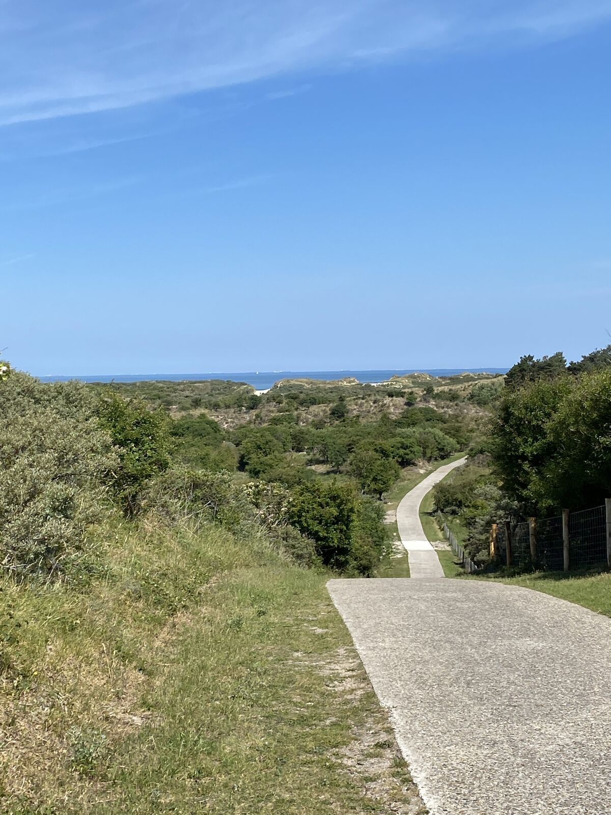
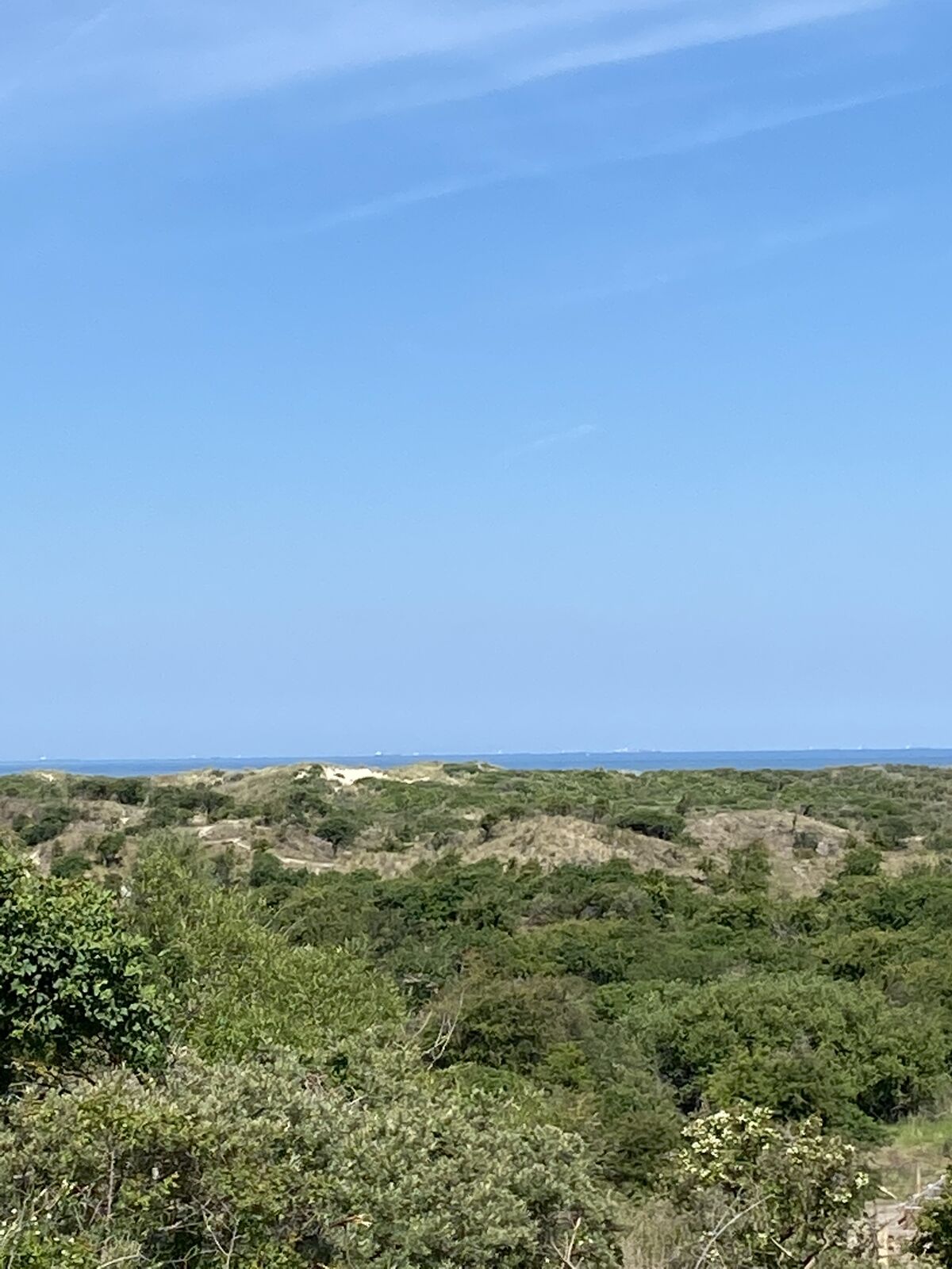
- Brief description
-
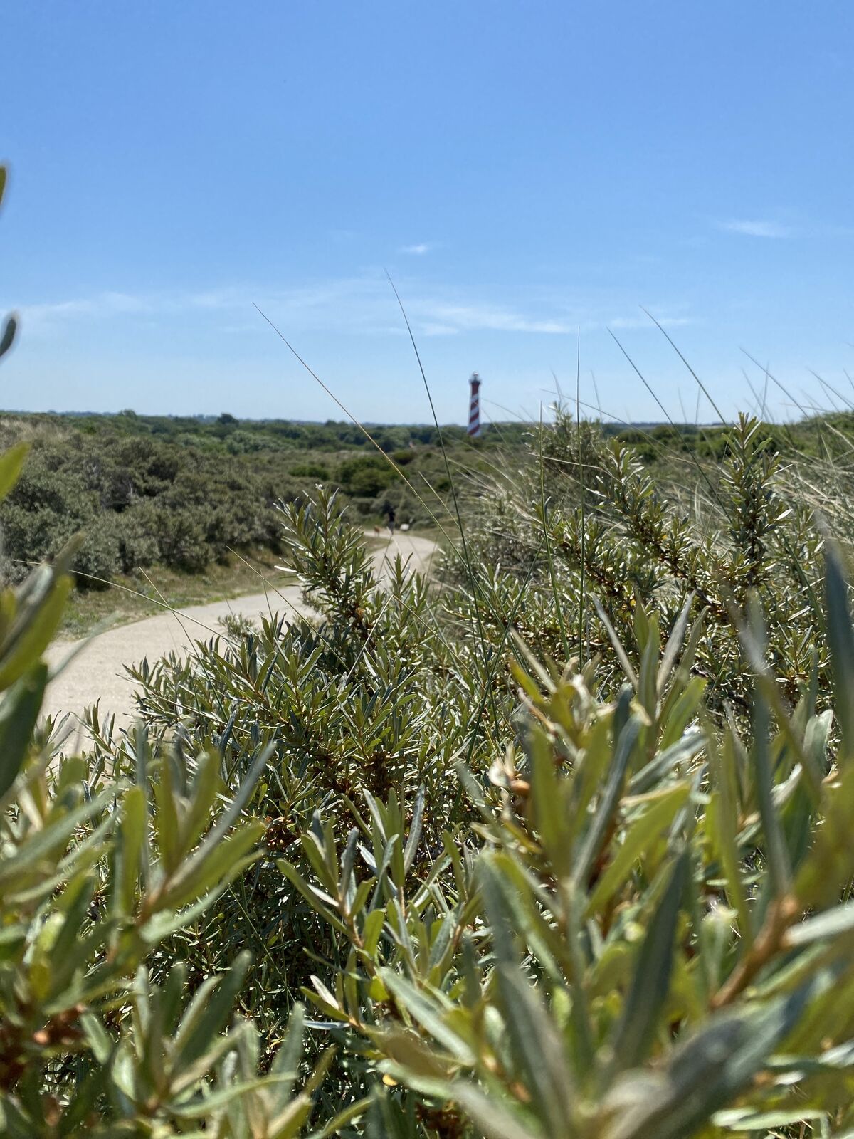
Durch Dünnen und tollem weiß Strand
- Difficulty
-
easy
- Rating
-
- Route
-
De Strandloper2.6 km
- Highest point
- 18 m

GPS Downloads


Other tours in the regions