Small cycle tour to Dehnepark, Silbersee and Satzberg to Hütteldorf


- Brief description
-
This little "one and a half-hour" tour has "relieved" me of many a bigger and smaller sorrow and made me think more relaxed and clearer.
- Difficulty
-
easy
- Rating
-
- Starting point
-
U4 final stop Hütteldorf
- Route
-
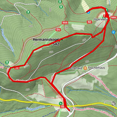
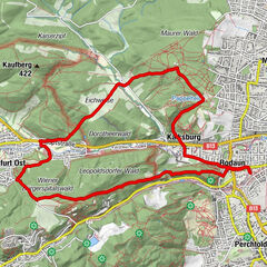
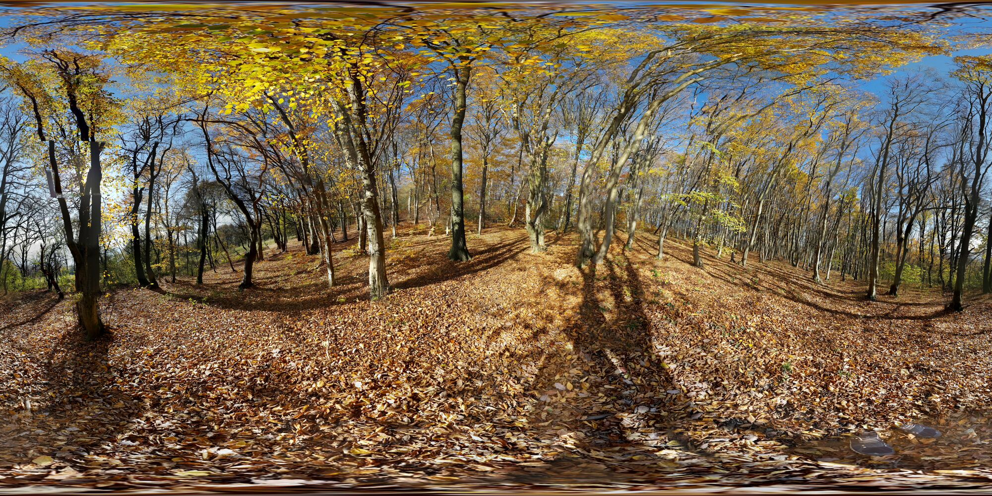
Hütteldorf0.4 kmGemeindewald3.4 kmVienna (542 m)4.0 kmKleines Schutzhaus Rosental4.9 kmHütteldorf6.2 km
- Best season
-
JanFebMarAprMayJunJulAugSepOctNovDec
- Description
-
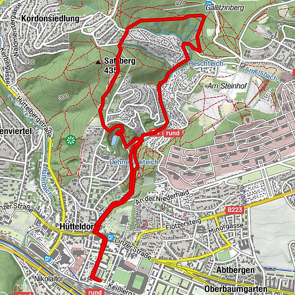
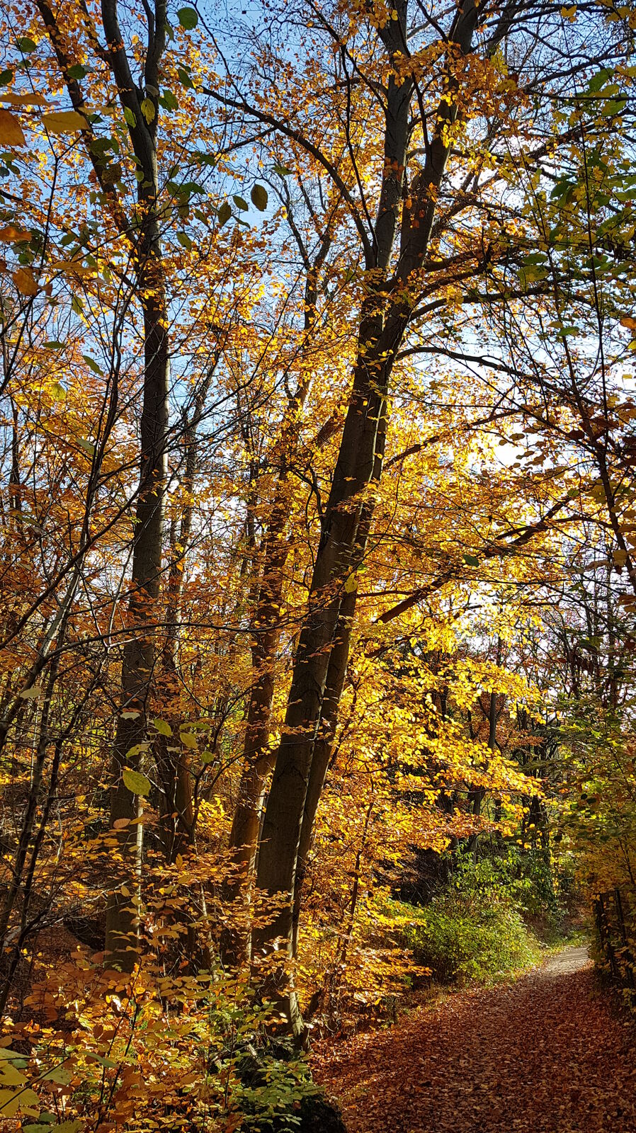
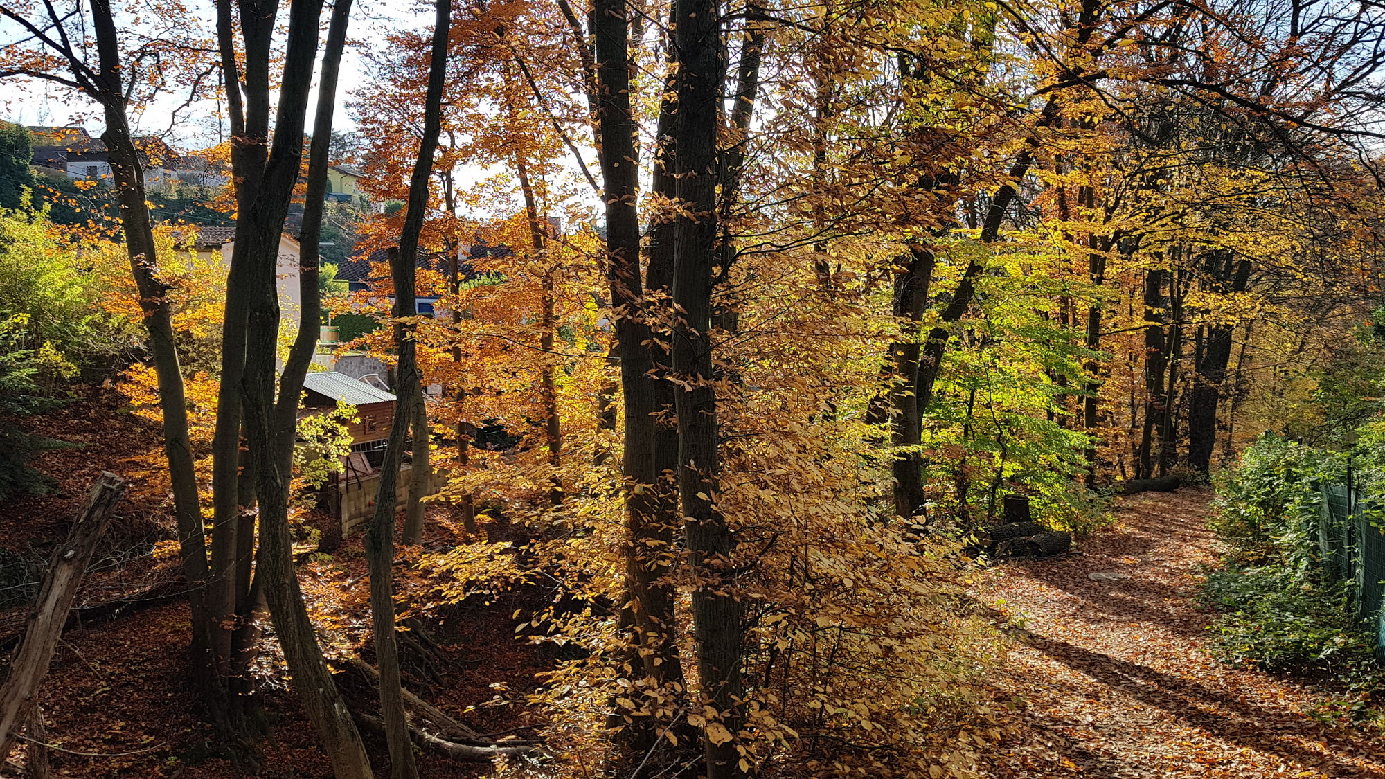
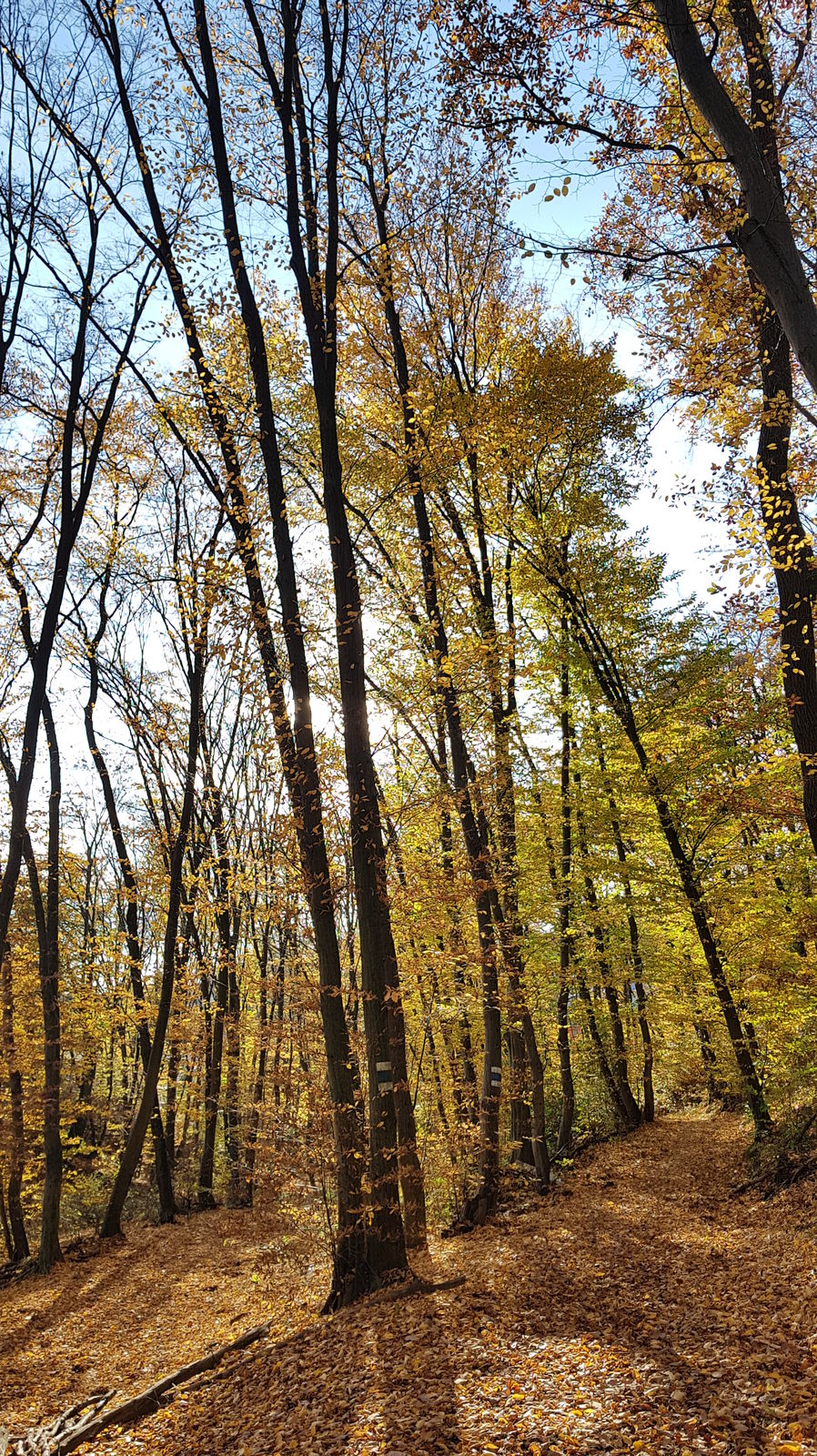
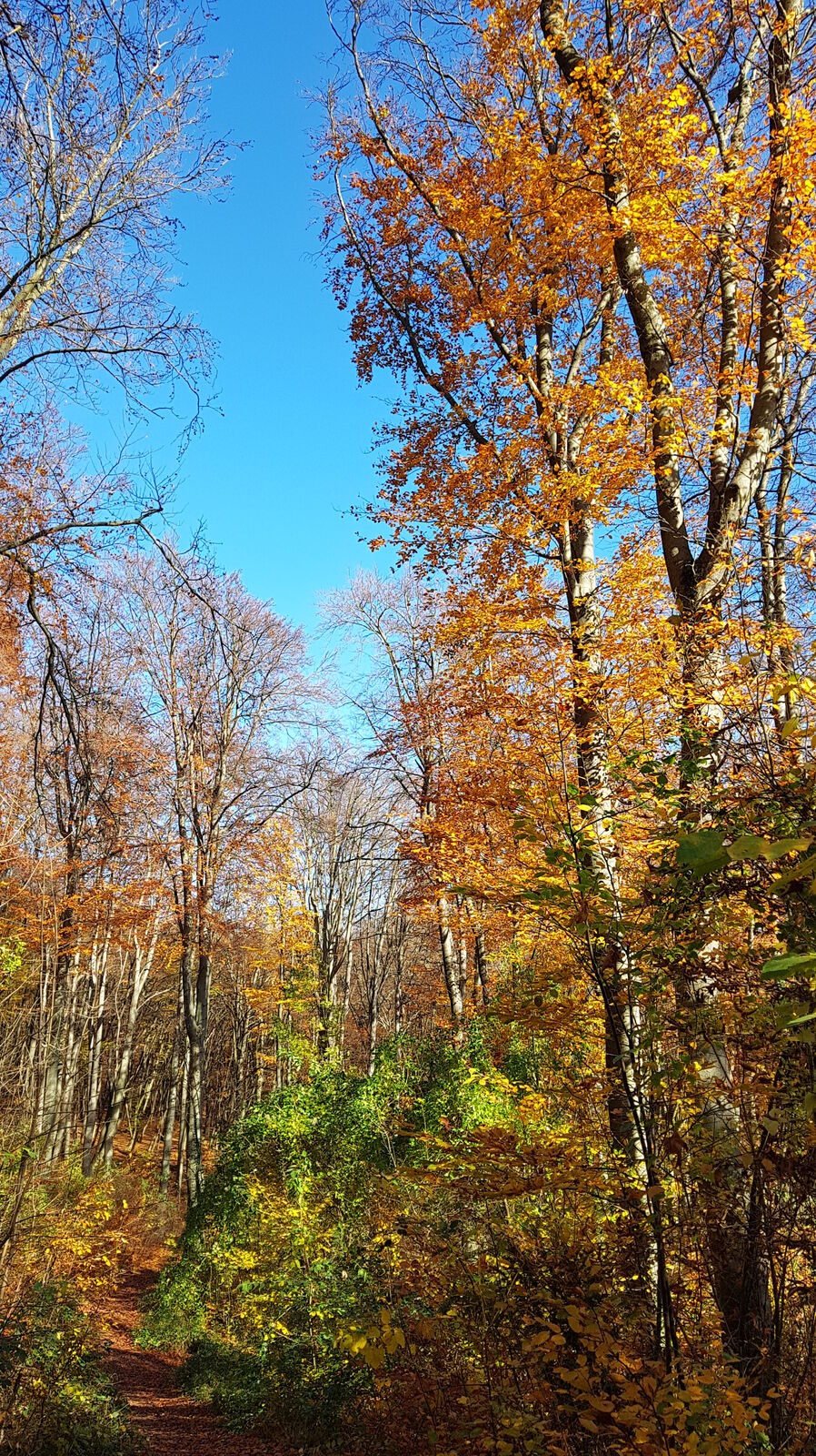
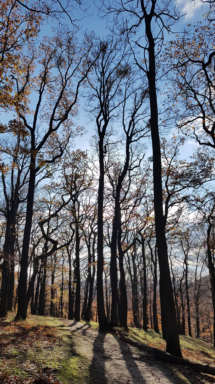
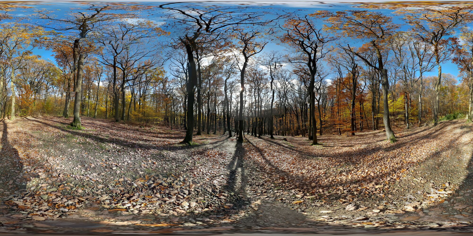
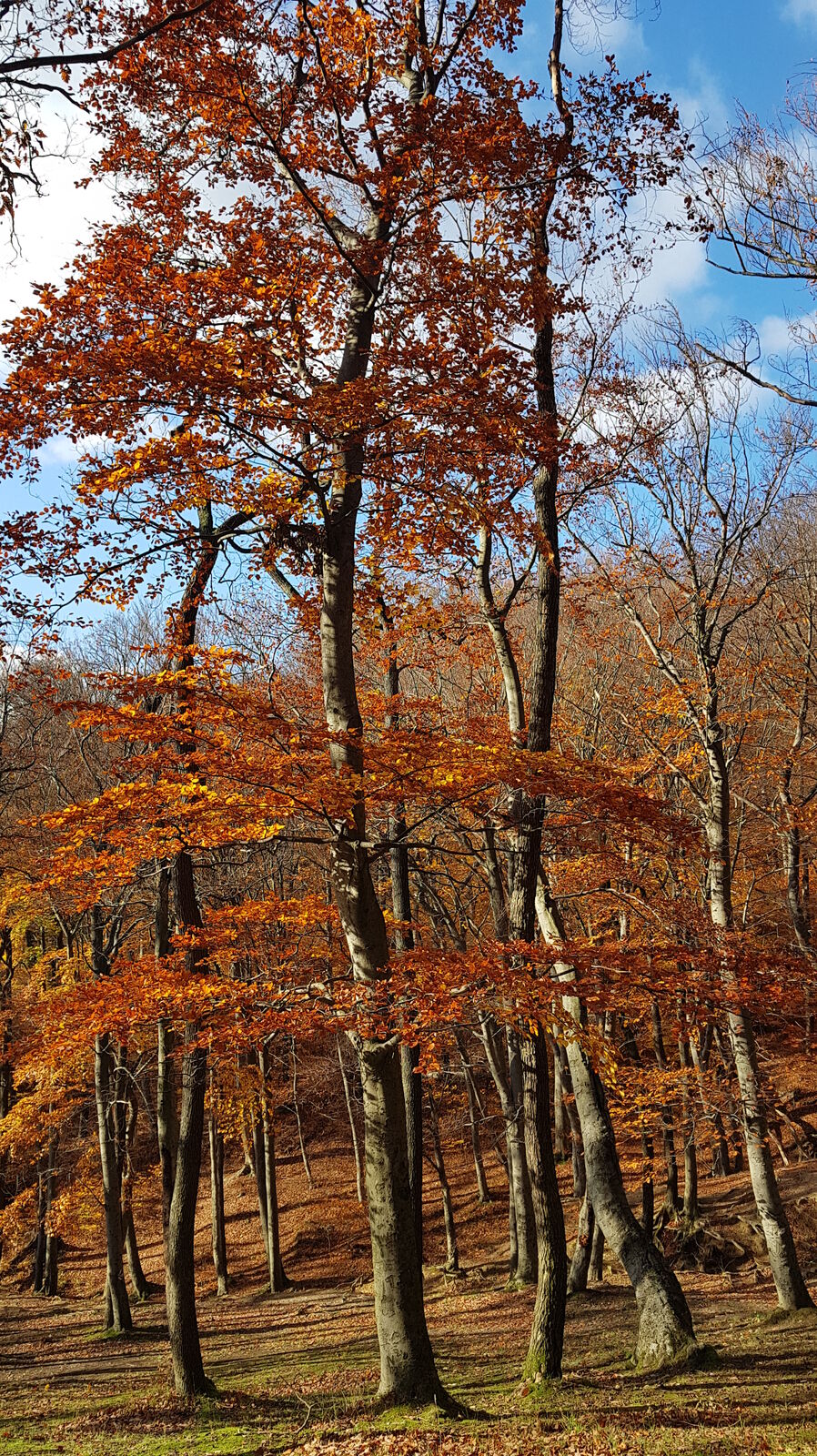
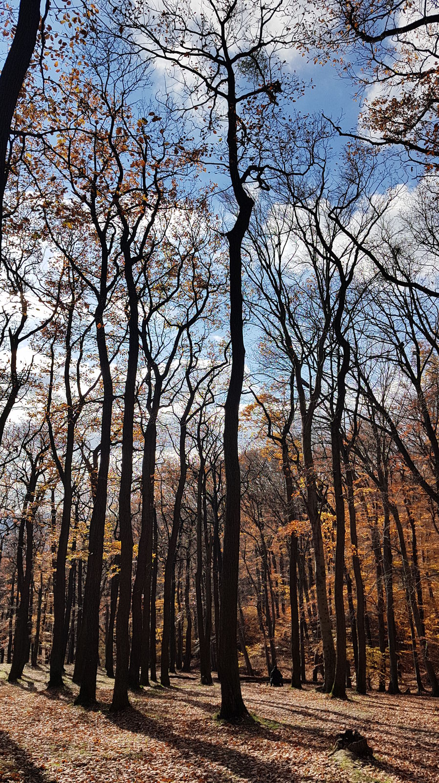
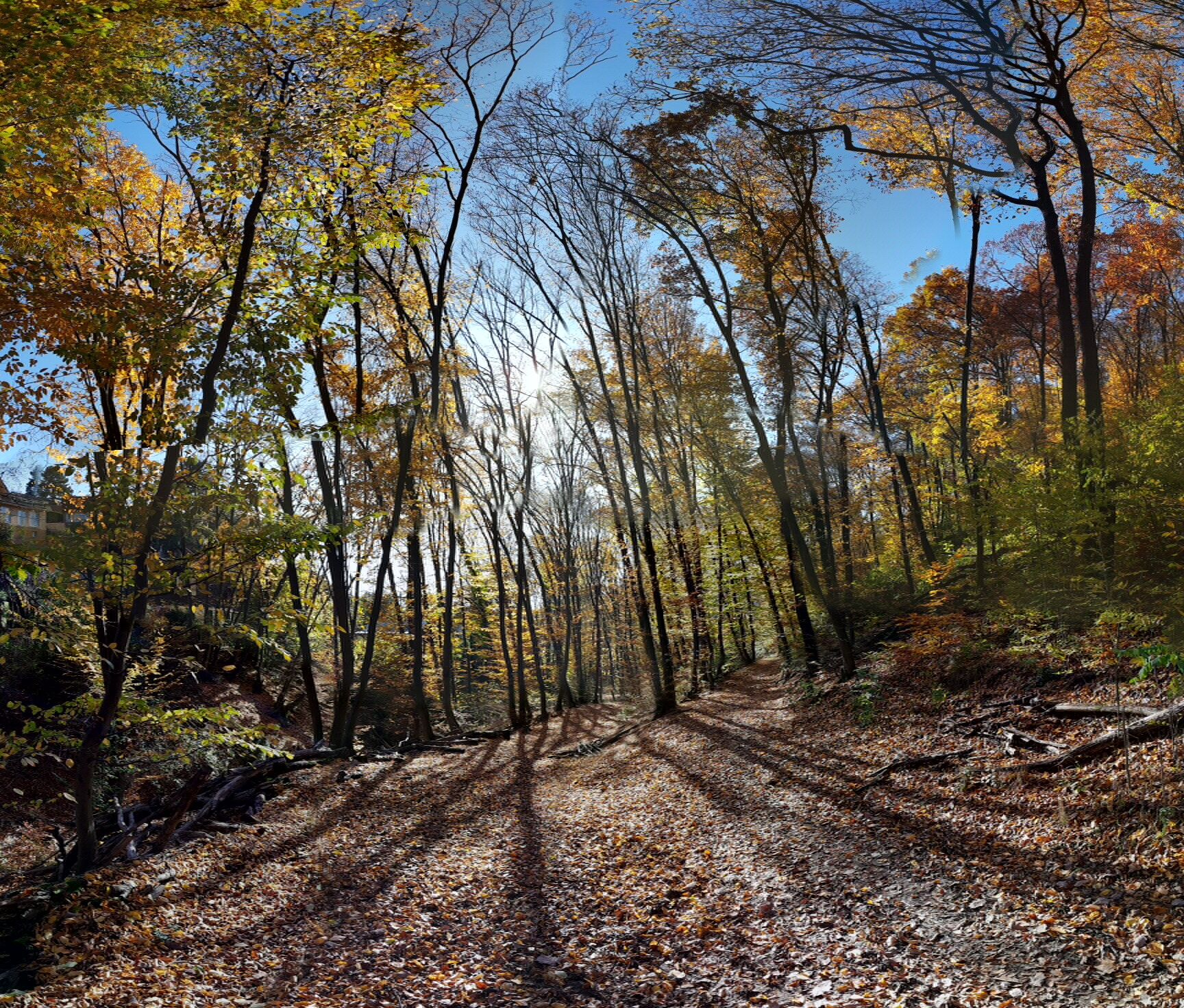
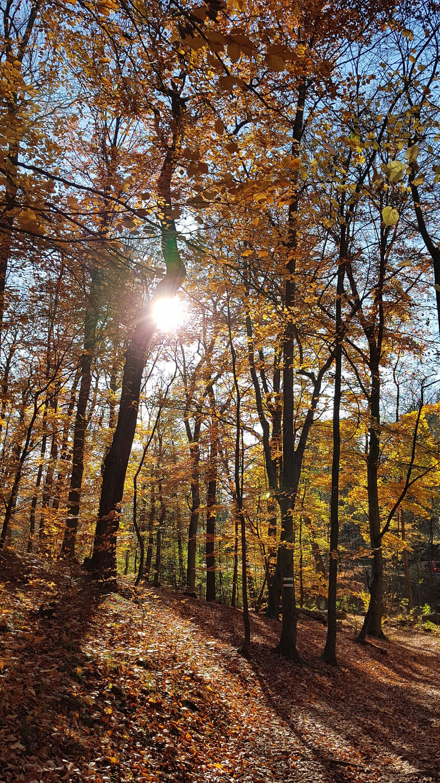
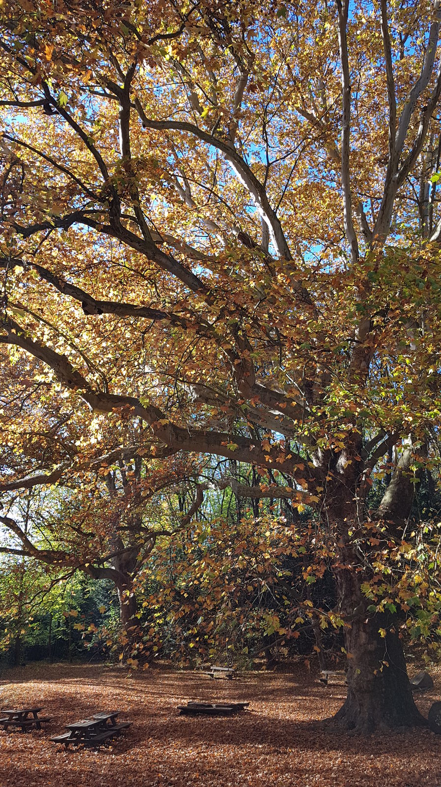
From the terminus of the U4 (ÖBB station) Hütteldorf, the path heads northward slightly uphill, passing municipal buildings and villas. After crossing Linzerstraße, the path leads into Dehnegasse and along a canalized stream on the left side into Dehnepark.
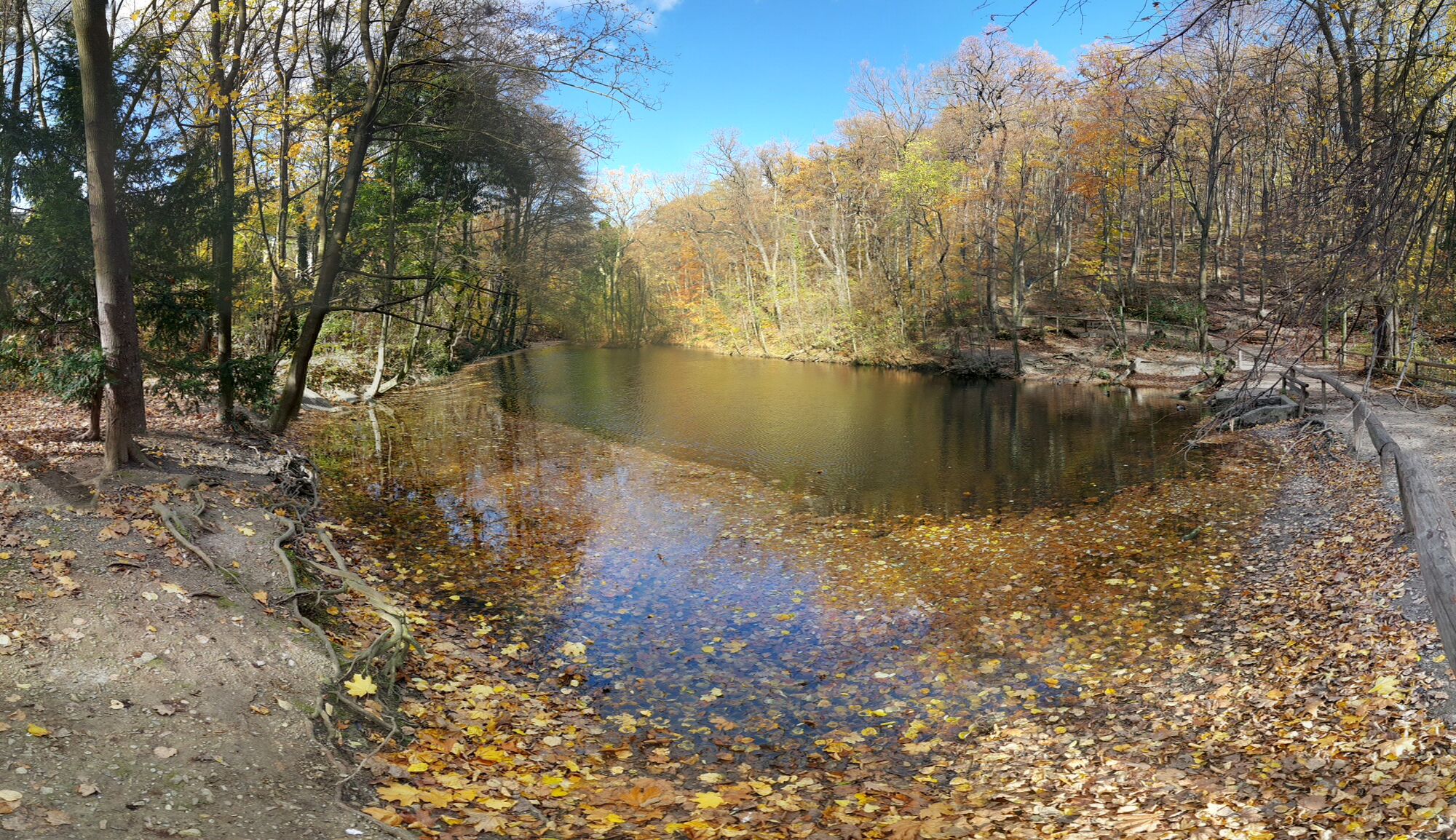
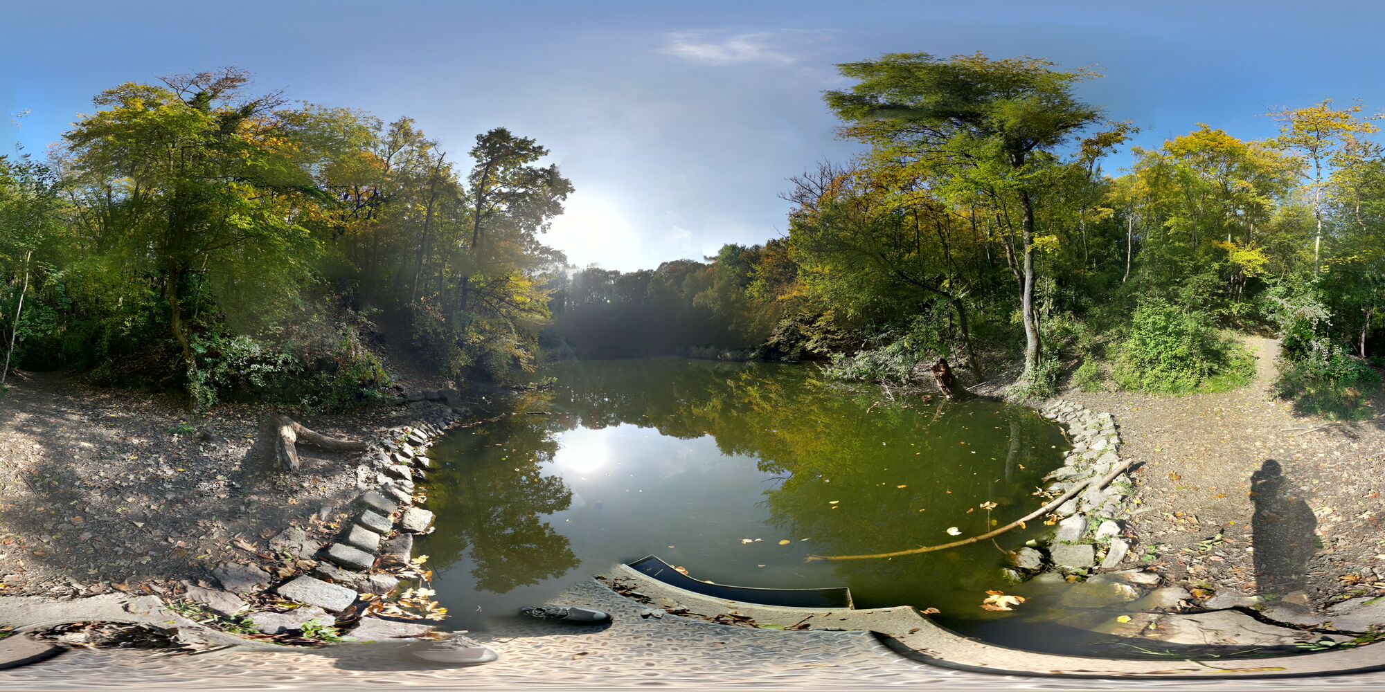
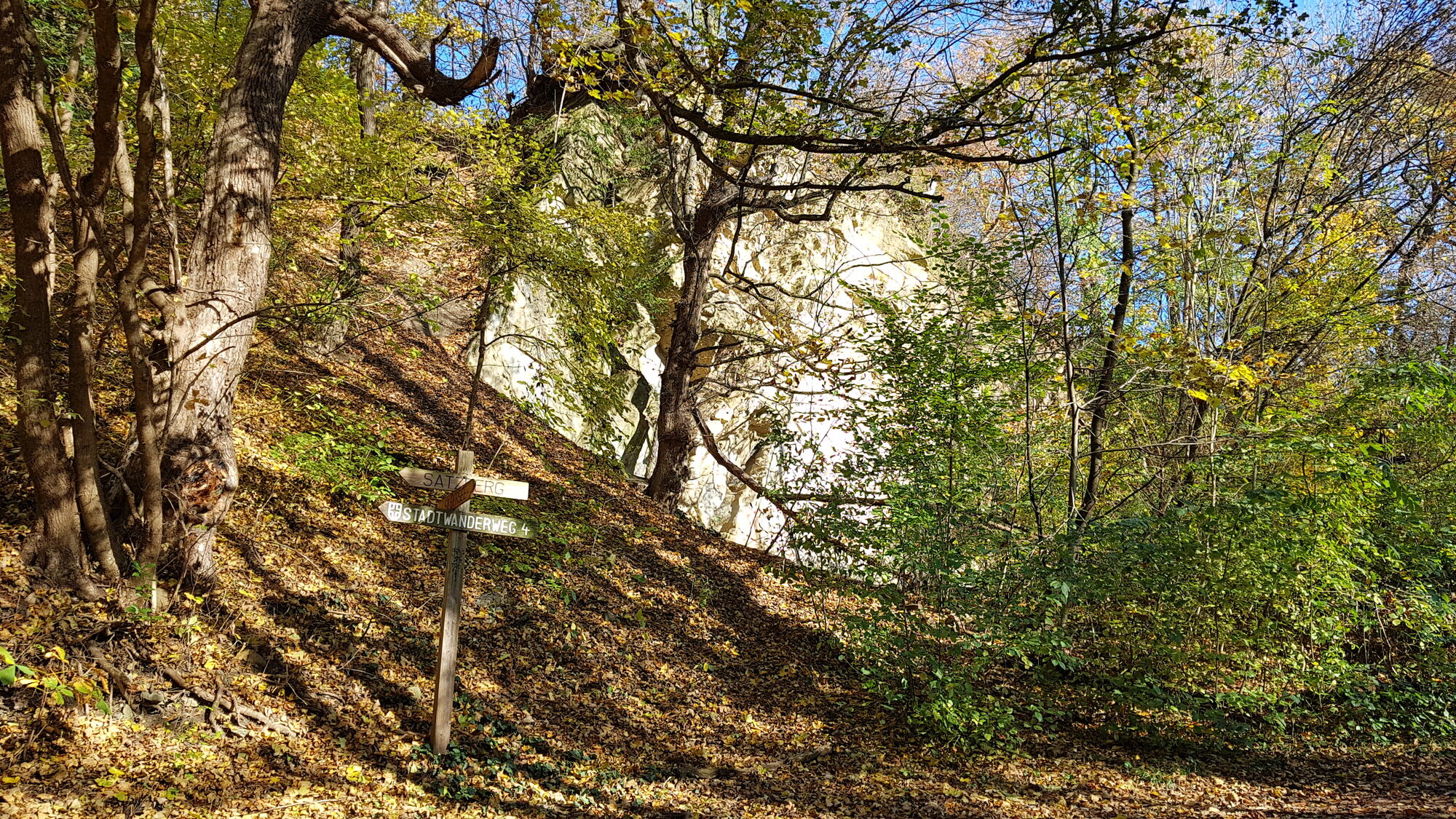
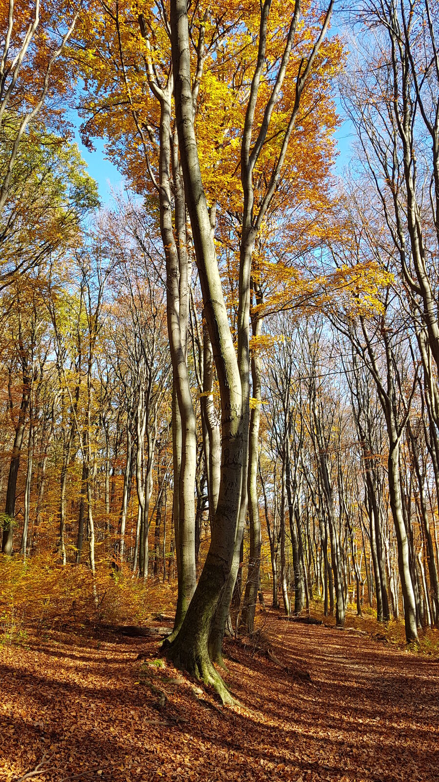
In the park, you immediately cross a forest playground and continue the ascent to the Dehnepark pond. Then you cross the Rosentalgasse, always along the city hiking trail 4, until you reach the Silbersee. From there you continue the path, always crossing Steinböckenstraße (where there is a water hydrant), and you reach the meadows of Satzberg.
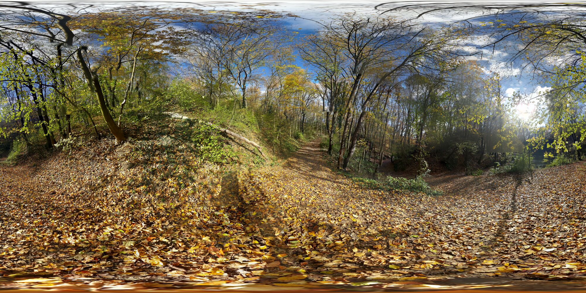
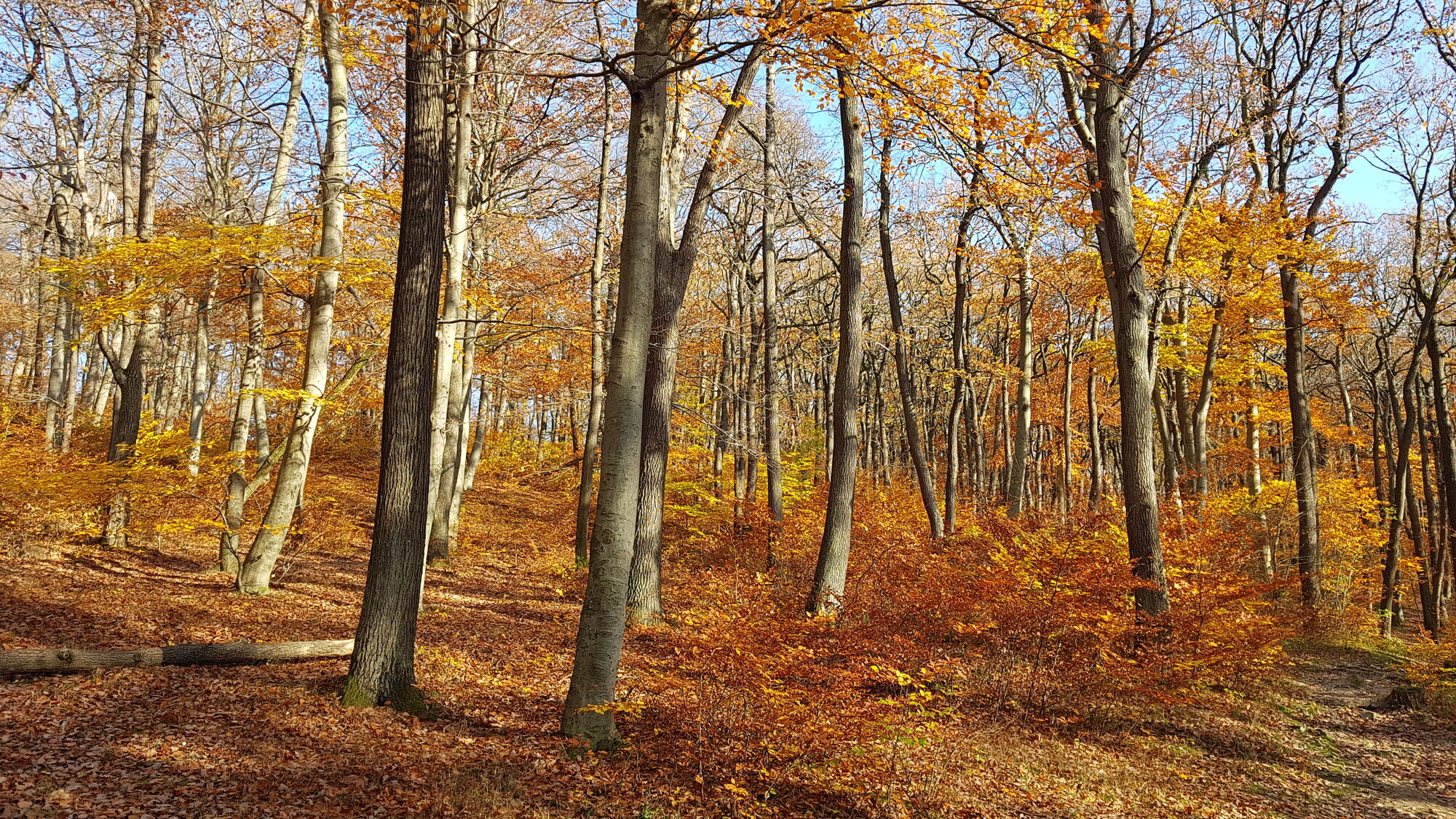
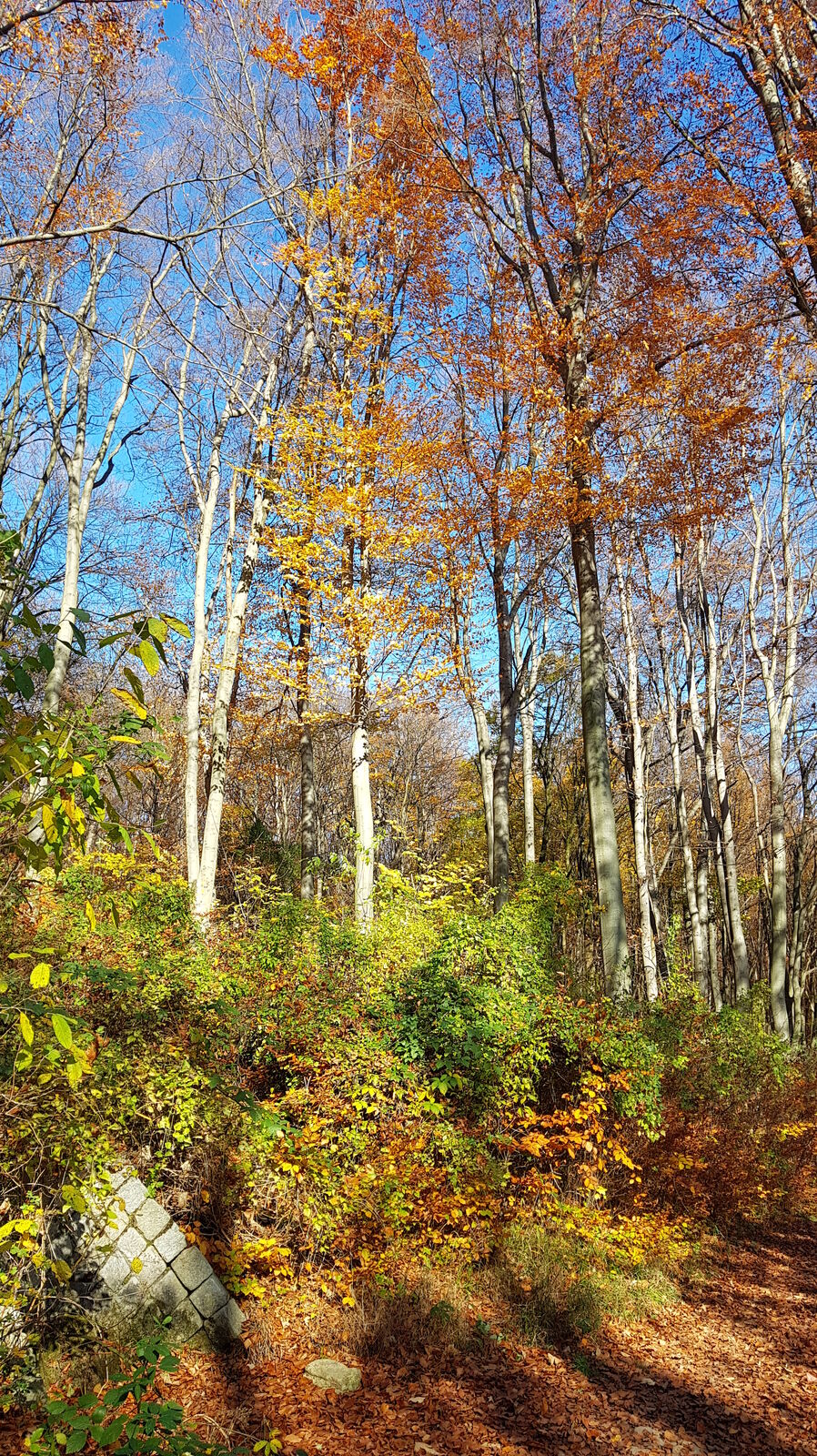
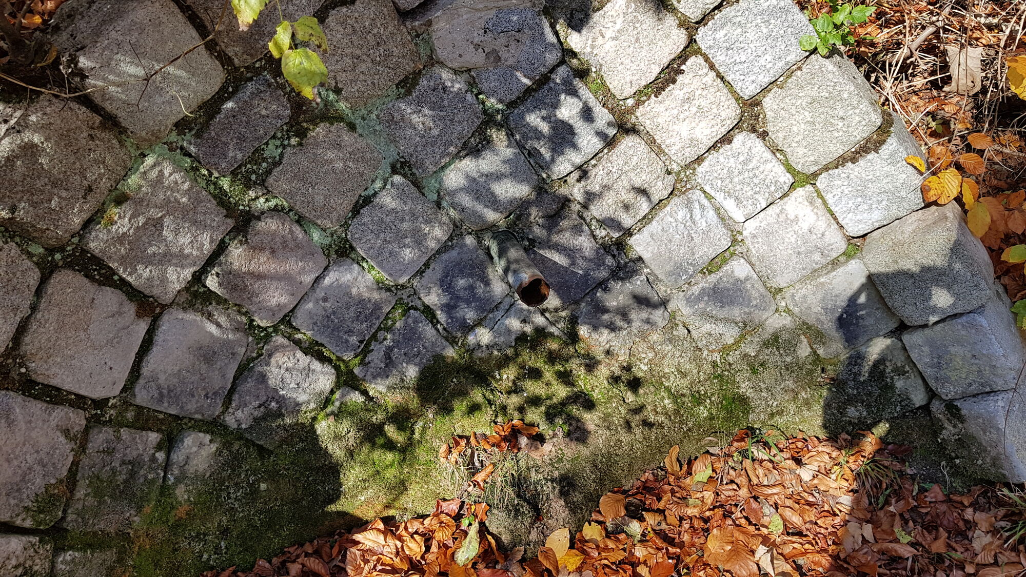
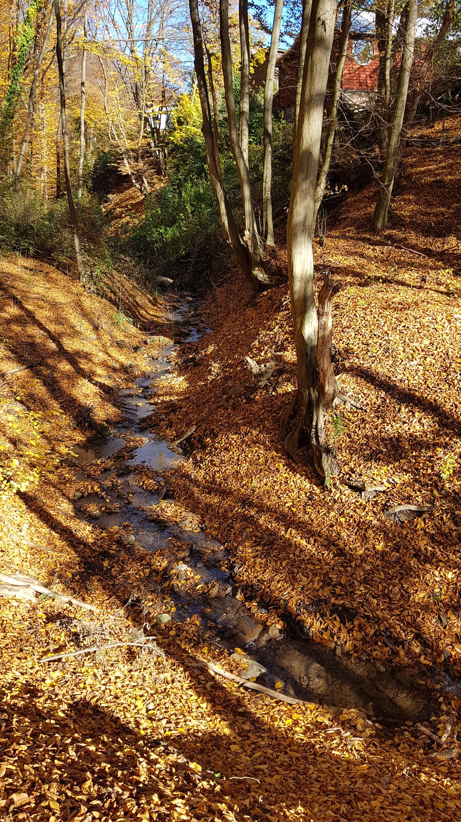
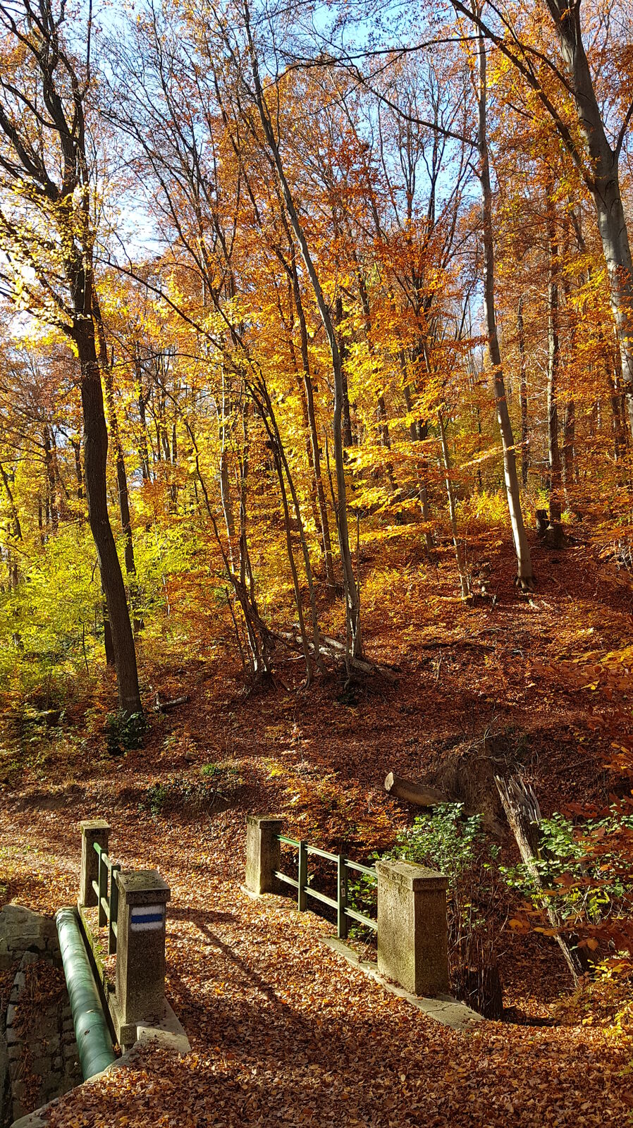
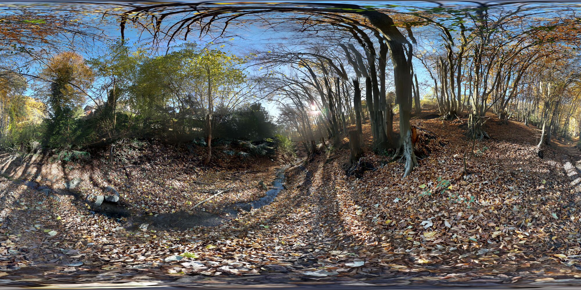
From a small settlement, the path goes downhill to a spring that is often dry and fed by the "ancestor of the Viennese high spring water pipeline" (when it flows, which is rarely the case). From there the path leads towards the quarry meadow (touching it only tangentially) and continues down a beautifully light wooded slope. On the left, below the road, you can see a fountain. Afterwards you cross a small stream and immediately after the bridge you follow the forest path on the left side, which runs parallel to the stream. Continue downhill until you reach the Dehne Park. Here you can pass the Dehnepark pond on its western side. Then you take the uphill path back to the Hütteldorf stop.
It is recommended to download my track because the shape of the path will probably only become apparent after following it.
- Highest point
- Hütteldorf (404 m)


- Source
- Karl Svozil


Trail conditions
-
Wienerwald
4213
-
Wien und Umgebung
2478
-
Hohe Wand Wiese
1191