- Brief description
-
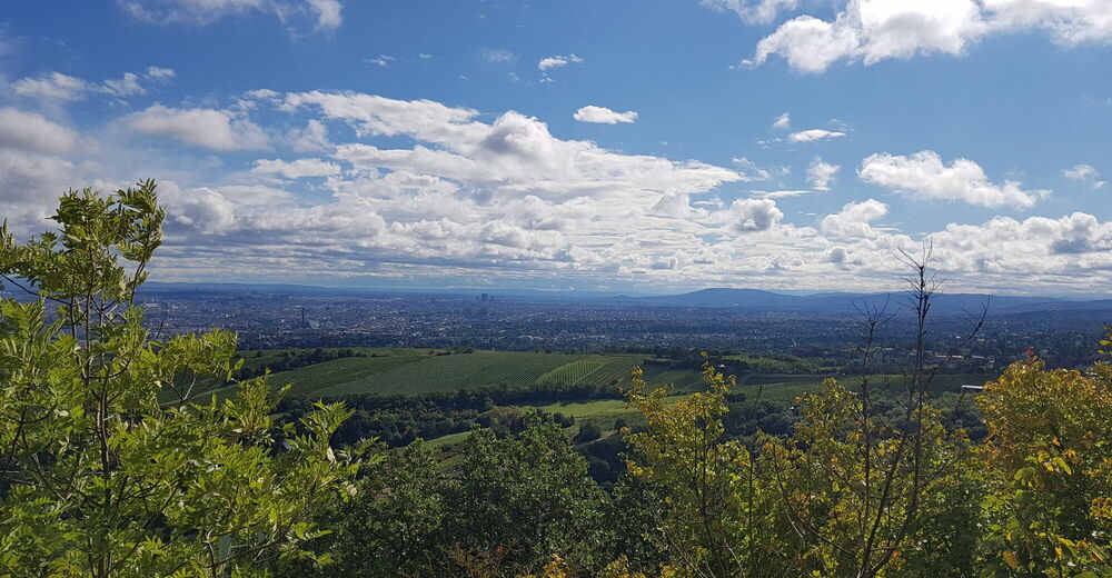
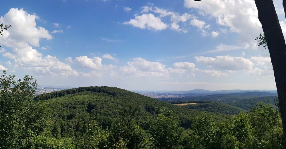
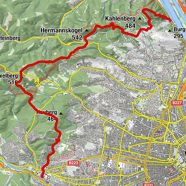
Partial encircling of Vienna in the Vienna woods from the Danube to the river Wien, with easy access
- Difficulty
-
easy
- Rating
-
- Starting point
-
Kahlenbegerdorf
- Route
-
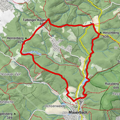
Kahlenbergerdorf0.0 kmSt. Leopold1.2 kmLeopoldsberg (425 m)1.4 kmHeimkehrer-Gedächtnismal1.4 kmJosefsdorf3.0 kmVienna (542 m)4.7 kmKreuzeiche6.4 kmVogelsangberg (516 m)7.0 kmGasthaus zum Agnesbrünnl7.7 kmGrüass Di a Gott Wirt9.0 kmZwei Gehängte10.5 kmZwei Gehängte (447 m)10.8 kmHameau (465 m)11.7 kmExelberg (516 m)13.7 kmDahaberg (507 m)14.1 kmSchottenhof16.5 kmKleines Schutzhaus Rosental20.3 kmHütteldorf21.5 km
- Best season
-
JanFebMarAprMayJunJulAugSepOctNovDec
- Description
-
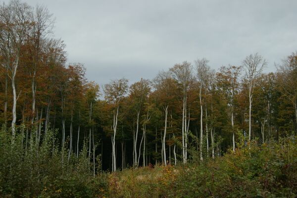
This partial Vienna roundabout leads from the Danube to the river Wien.
To the beginning (bus 400 from Heiligenstadt to Kahlenbergerdorf) and from the end (U4, rapid transit station Hütteldorf) of this tour, you can easily get by public transport.
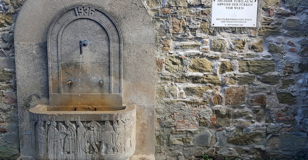
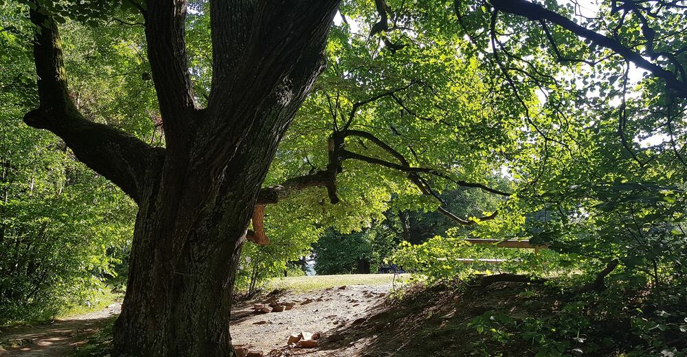
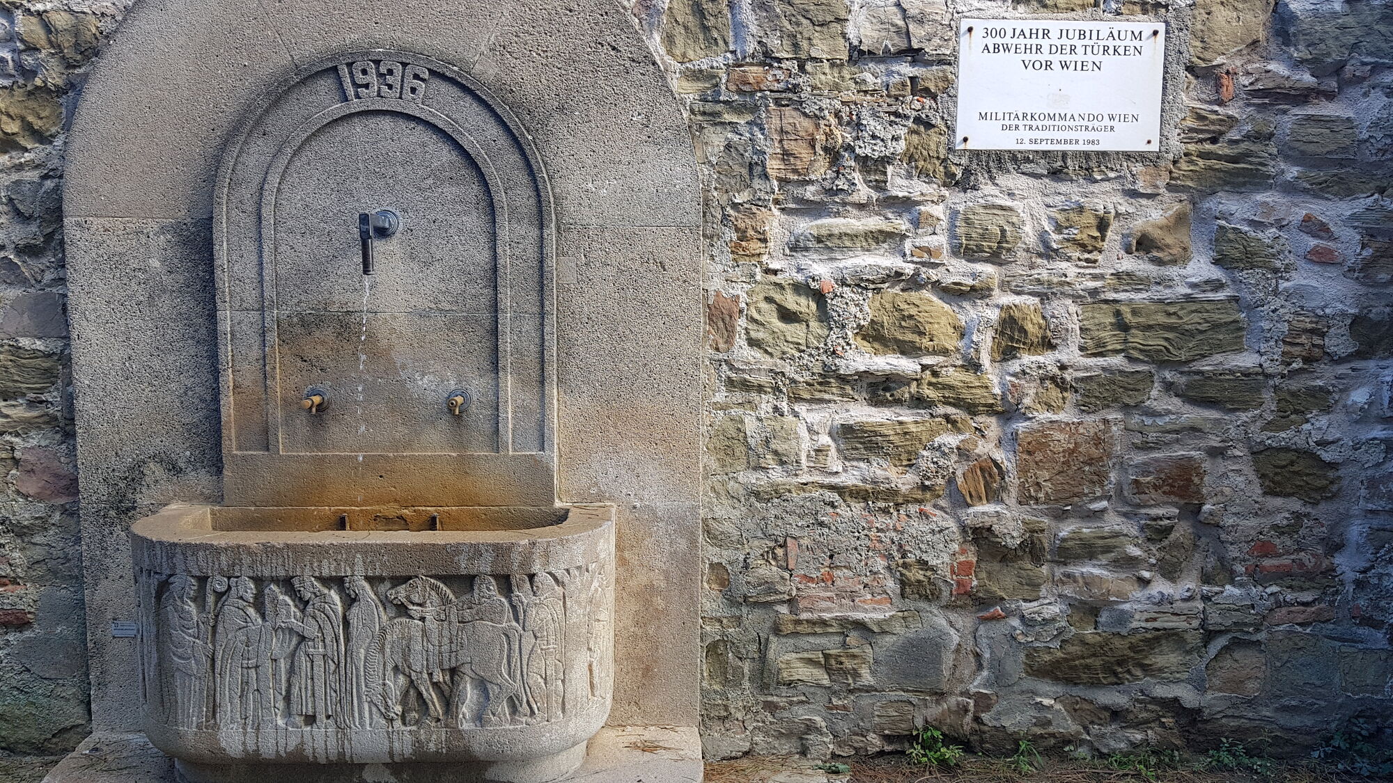
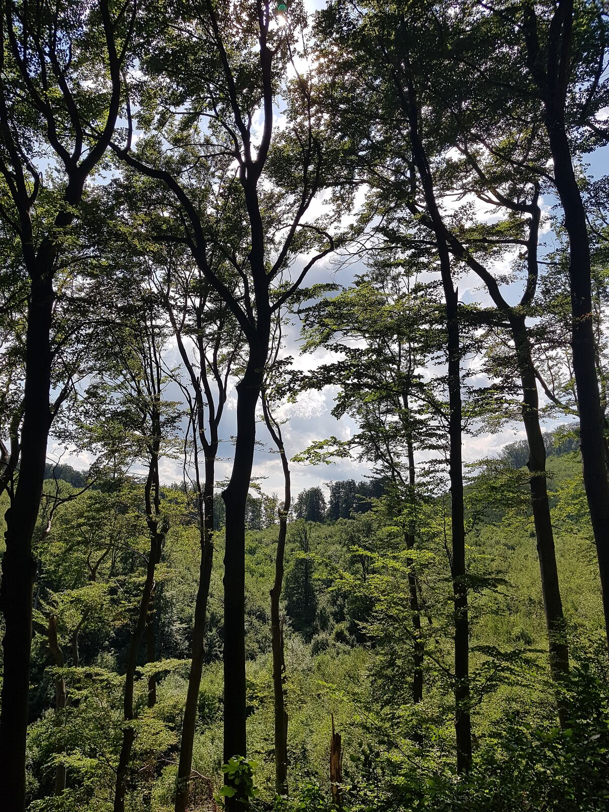
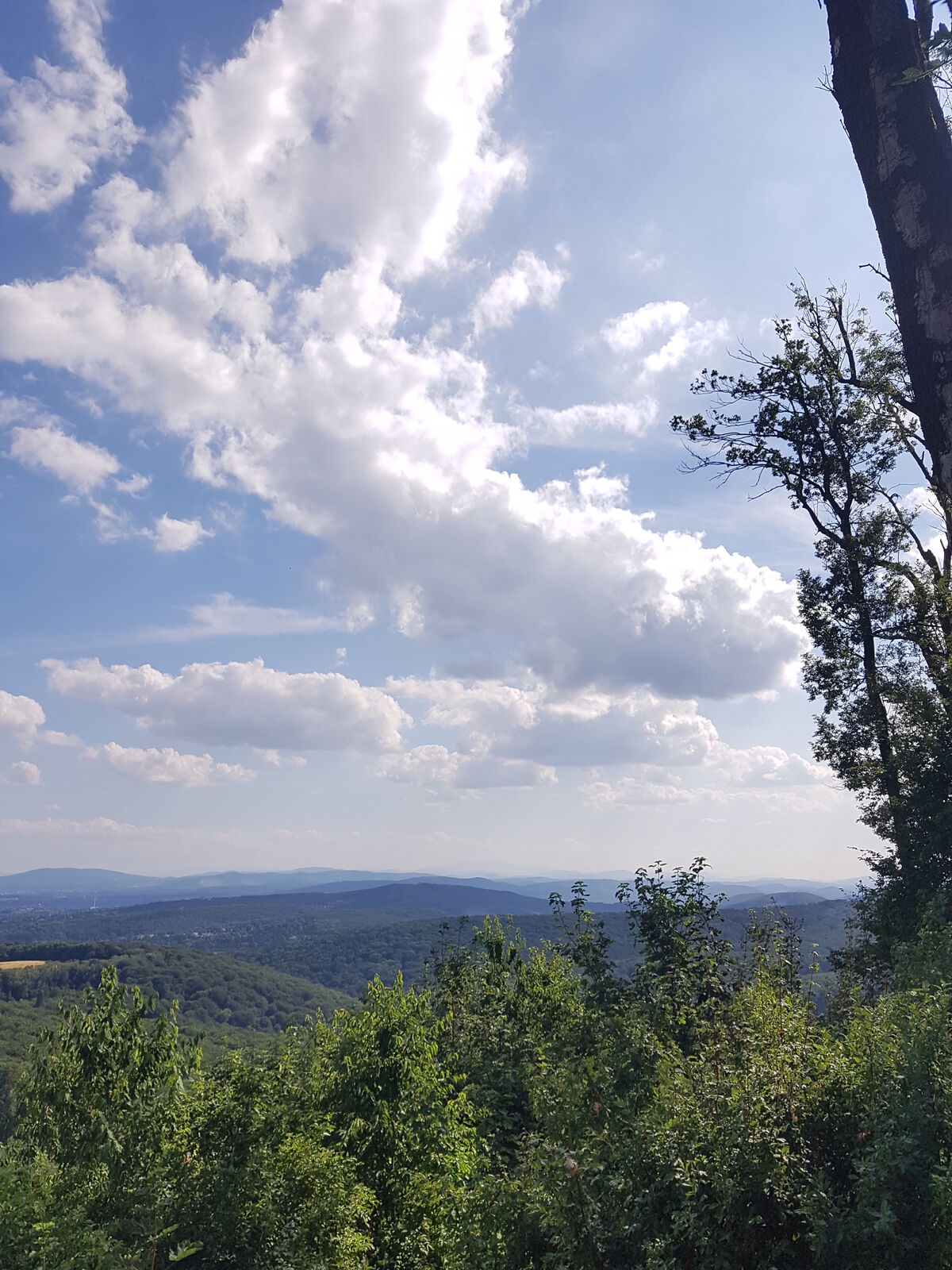
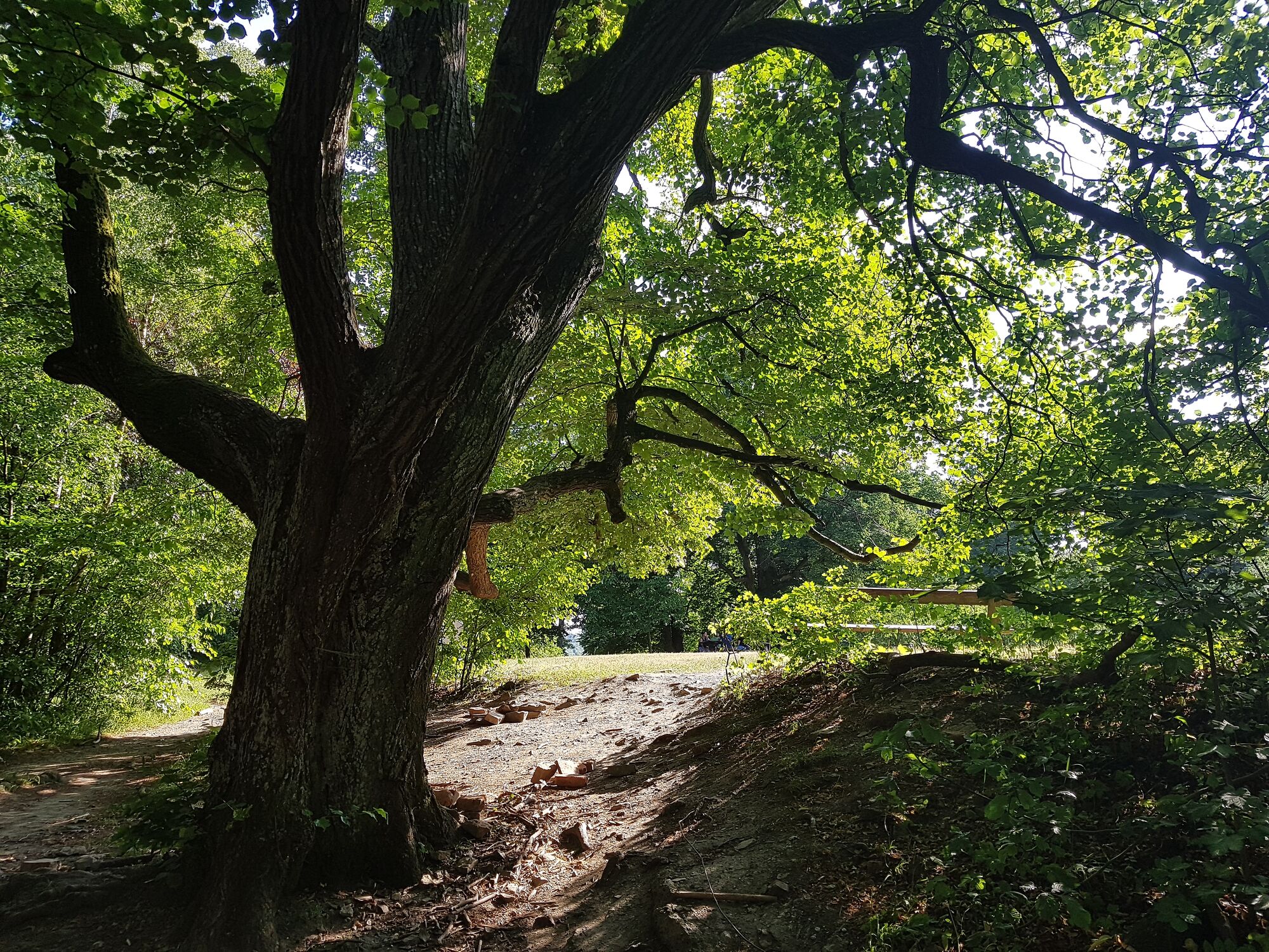
From Kahlenbergerdorf one climbs the Nasen-Weg (steep and in hairpin bends) up to Leopldsberg; at about 2/3 of the height there is a viewing platform, the same at Leopoldsberg, where in the warm seasons there is also a drinking fountain.
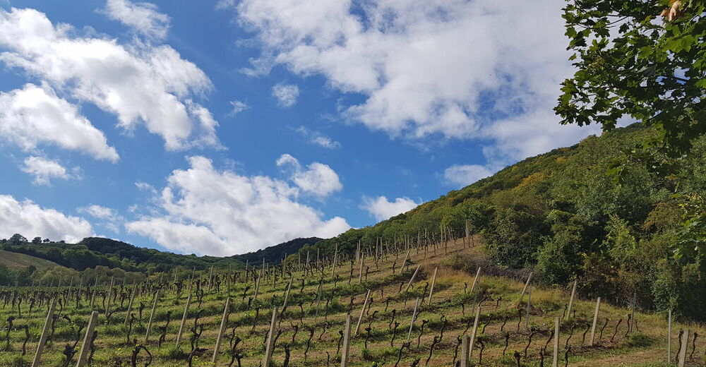
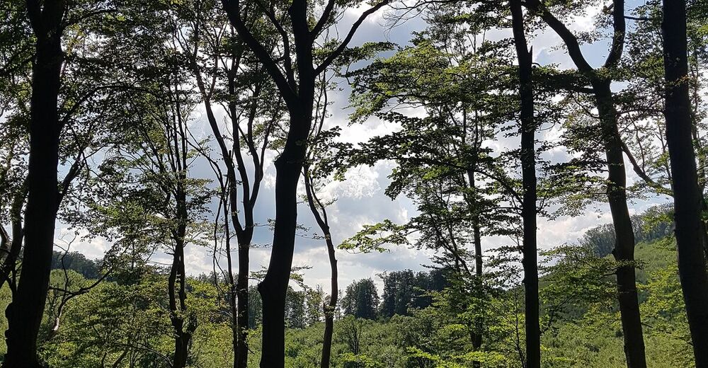
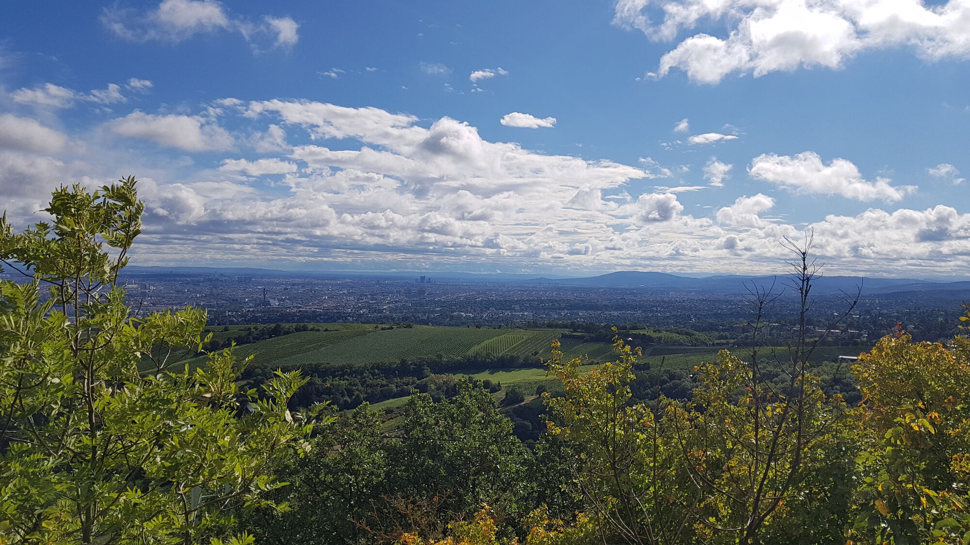
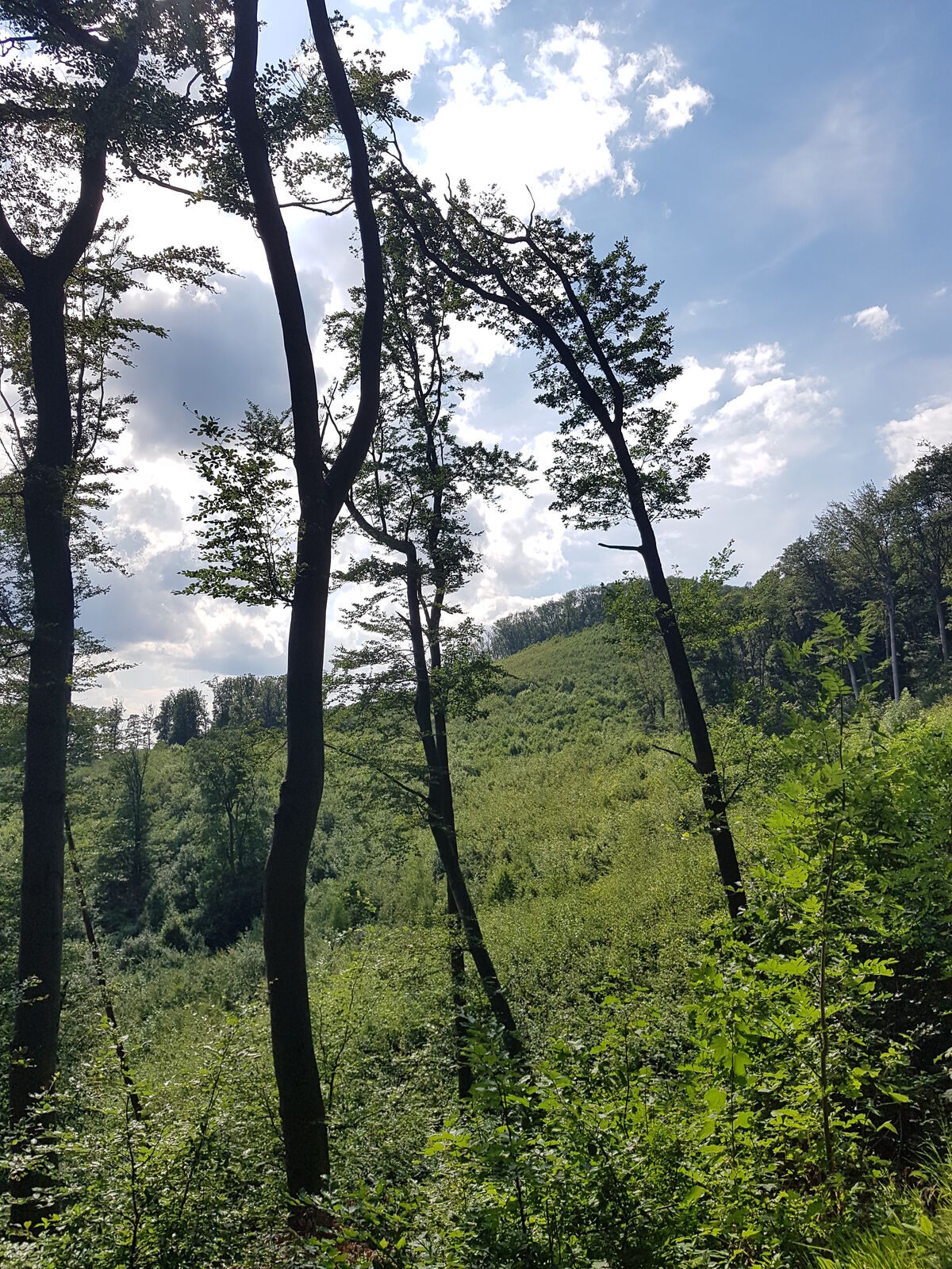
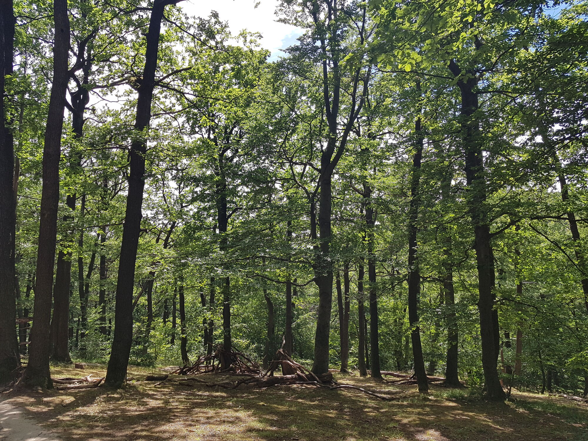
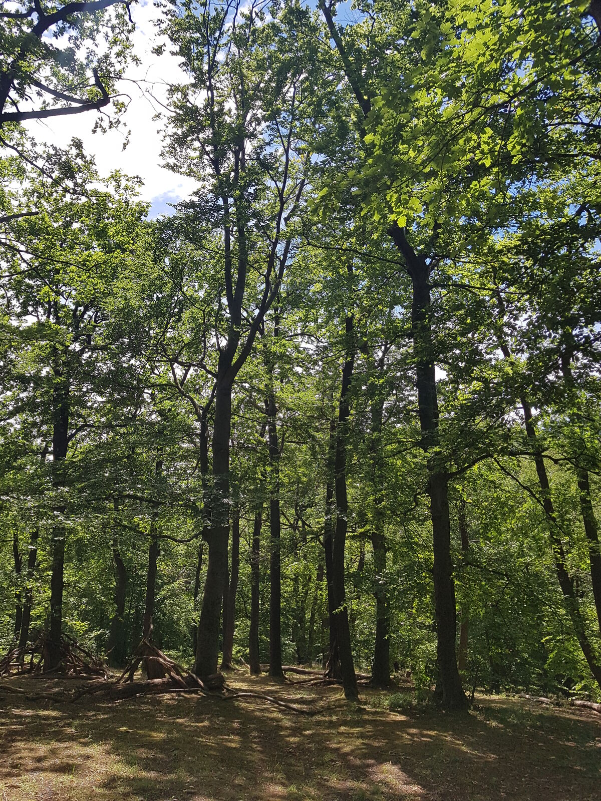
Then toward Kahlenberg; on its wooded northeast flank, the path turns south. Then continue through vineyards, and, crossing a stream, to the Krapfenwaldlbad. From there, take another wooded flank path to a fork with a red cross. Here you have the choice: either directly and level to the Agneswiese, or up on the Vogelsangberg with a beautiful view.
From the Agneswiese in the direction of Hameau; partly using the cycle path on the western flank, to the Exelberg. There you cross the road and go to Schottenhof, where you cross the Höhenstraße.
Then up to the Kreuzeichwiese and down again to a stream bed surrounded by allotment garden club houses. There is also the Jonas fountain in the warm season. Finally, the path crosses the Dehnepark and leads to Hütteldorf.
- Highest point
- Vogelsangberg (521 m)
- Endpoint
-
Hütteldorf
- Rest/Retreat
-
Kleines Wirtshaus Rosental towards the end, nested in between trees and a creek
- Equipment
-
Good shoes
- Tips
-
The trail is strenuous and can also be done in stages. Entrances and exits from public transport are possible at any time.
- Directions
-
Bus 400 from Hütteldorf to Kahlenbergerdorf, subway U4 from Hütteldorf
- Public transportation
-
Bus 400, U4


- Source
- Karl Svozil


Trail conditions
-
Wienerwald
4219
-
Wien und Umgebung
2481
-
Klosterneuburg
1039