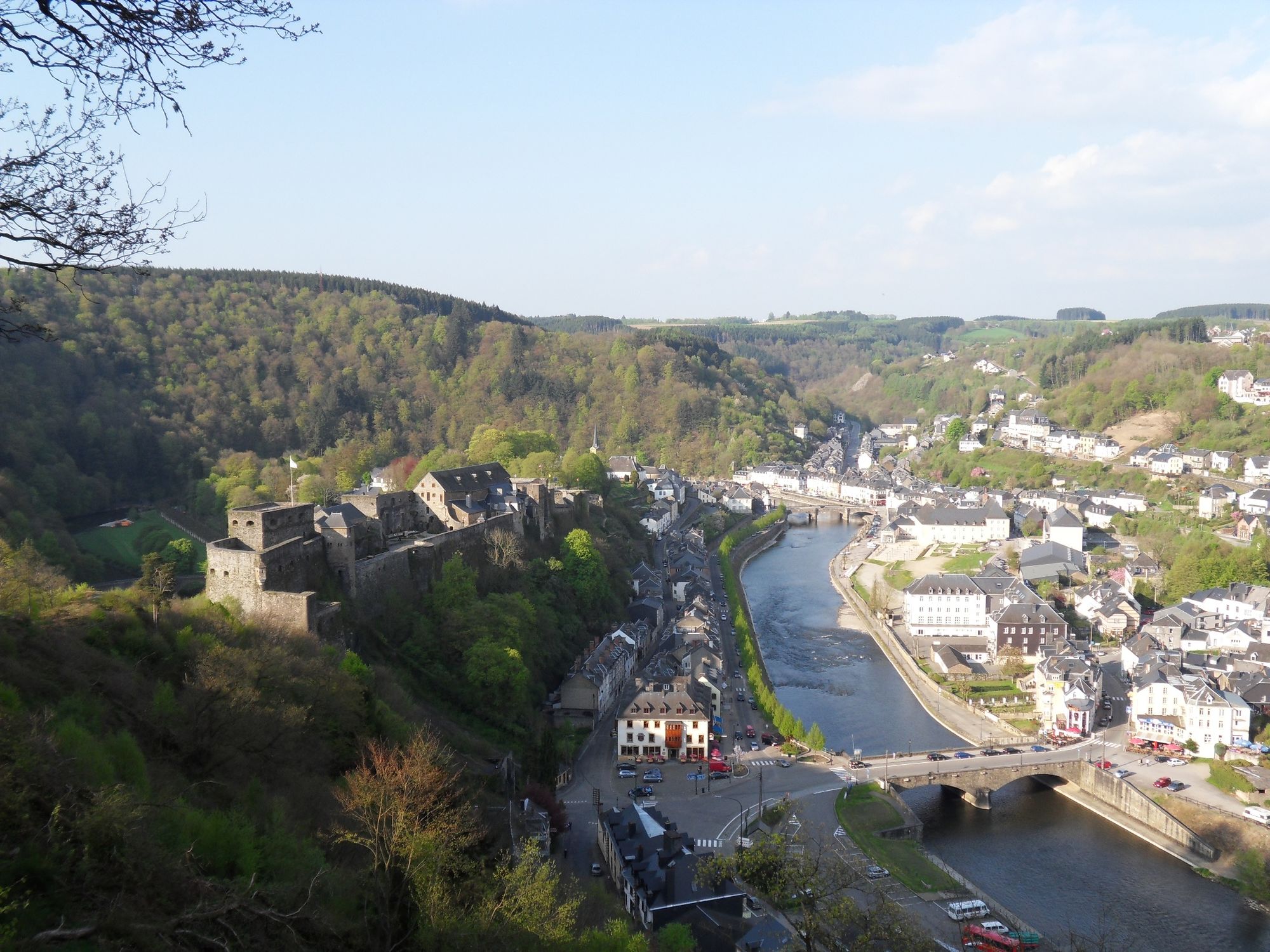
© Wandermagazin - Eric Thomas

- Brief description
-
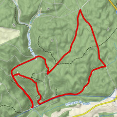
Felsen, Wasser und dichte Wälder prägen diese Rundtour, die viele landschaftliche Höhepunkte entlang der Semois bei Bouillon erfasst.
- Difficulty
-
medium
- Rating
-
- Route
-
Bouillon0.0 kmLe Pic du Diable4.6 kmPoint de vue de l'Epine (300 m)4.8 kmPoint de vue des Ecaillère5.9 kmCorbion7.4 kmPoint de vue du Rocher du Pendu (265 m)10.1 kmRamonette13.5 kmPoint de vue de la Ramonette (300 m)13.5 kmBouillon14.6 km
- Best season
-
JanFebMarAprMayJunJulAugSepOctNovDec
- Highest point
- 390 m
- Endpoint
-
Parkplatz vor der Burg von Bouillon
- Height profile
-
 © outdooractive.com
- Author
-
The tour Rund um Bouillon – Entlang der Semois nach Corbion is used by outdooractive.com provided.
GPS Downloads


General info
Refreshment stop
Cultural/Historical
Insider tip
Fauna
A lot of view
Other tours in the regions
-
Bouillon
58