
- Brief description
-
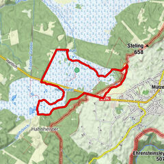
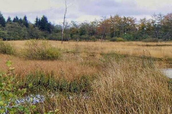
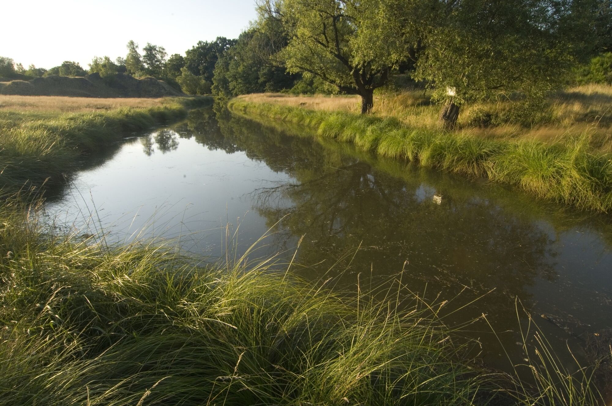
On the edge of Aachen Forest, between Köpfchen and Lichtenbusch, on the border between Germany and Belgium, lies the source of the Göhl.
- Difficulty
-
medium
- Rating
-
- Starting point
-
Köpfchen-Aachener Str. GPS start coordinates 50.722166,6.090460
- Route
-
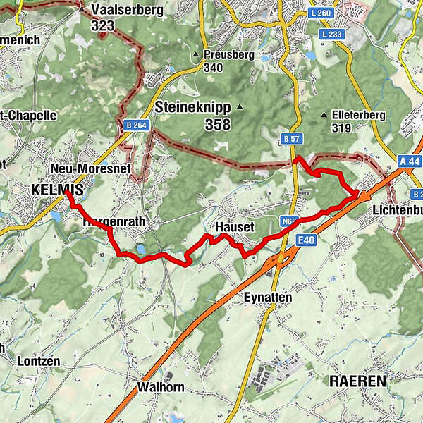
Foodyard5.9 kmHauset6.0 kmBeschissenberg7.1 kmBeschissenberg7.3 kmSaveurs de Tilleul9.8 kmHergenrath10.2 kmKelmis11.7 km
- Best season
-
JanFebMarAprMayJunJulAugSepOctNovDec
- Description
-
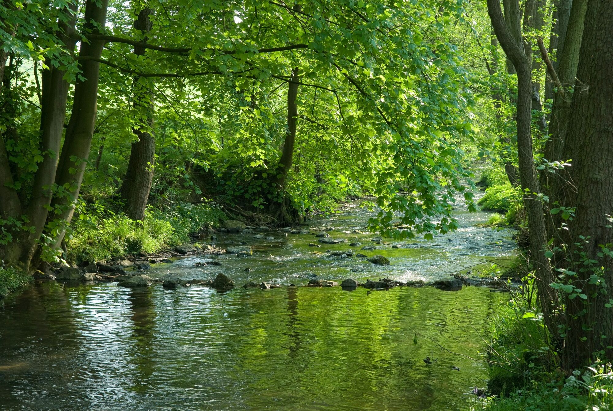
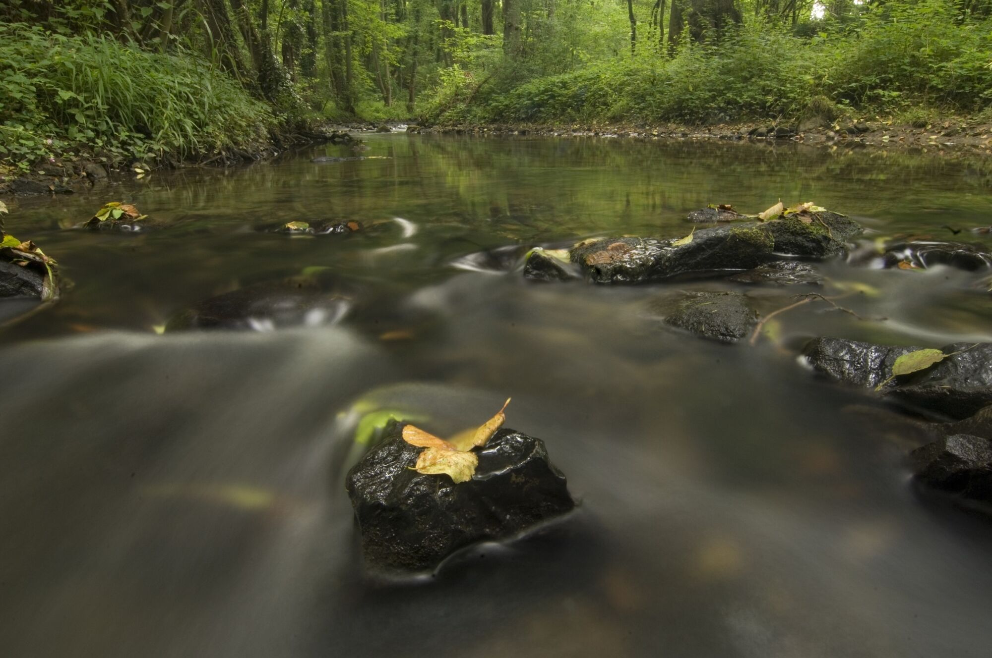
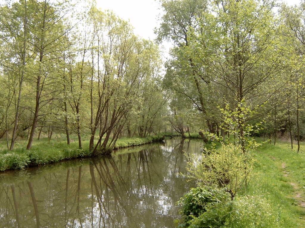
Soon, numerous small watercourses join forces and form the fast-flowing Göhl, which winds its way for some 56 km through the land of the three borders and the Heuvelland. The Göhl valley route Via Gulia, approximately 53 kilometres in length, can be walked from the source to the Maas, and anyone who does that will get to know a border region which has a rich history, culture and diversity to offer.
- Highest point
- 286 m
- Endpoint
-
Kelmis. GPS- Koordinaten 50.715836,6.016431
- Height profile
-
 © outdooractive.com
 - Equipment
-
Hiking boots recommended.
- Safety instructions
-
No special safety instructions. Dogs must be kept on a leash.
- Tips
-
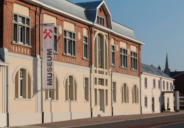
Museum Vieille Montagne - In the Museum Vieille Montagne, on two floors, the regional history of zinc ore (calamine) mining is presented by means of audio guides, charts and exhibited originals, as are the political, social, economic and ecological impacts of that mining on the region.
- Additional information
- Directions
-
Please use the route planner.
- Public transportation
- Parking
-
Village centre
- Author
-
The tour Göhl valley route Via Gulia - source of the Göhl - Kelmis is used by outdooractive.com provided.


-
Weserland / Belgisch - Limburg
376
-
Aachen
110