
- Brief description
-
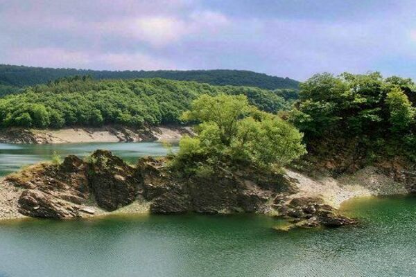
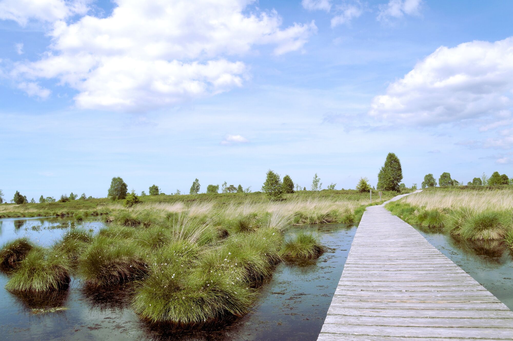
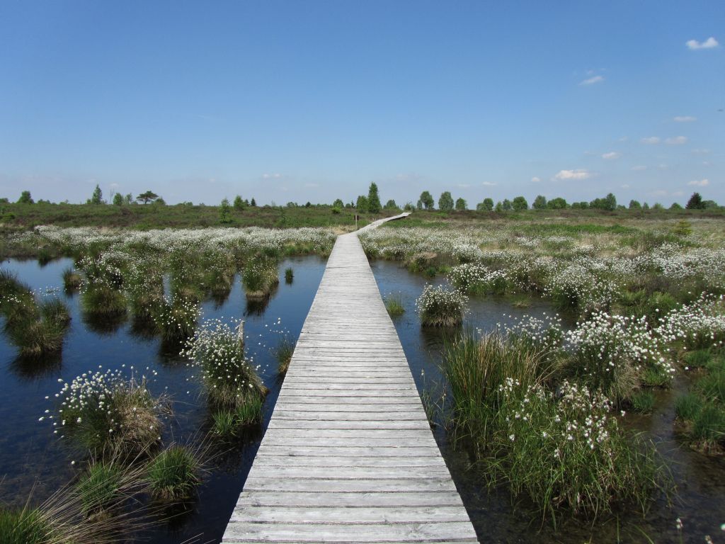
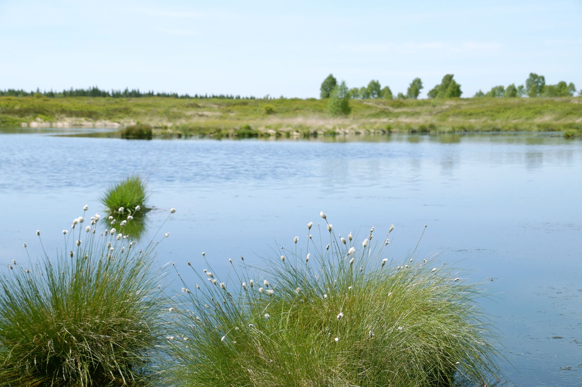
The High Fens evoke images from the far North, of tundra and heathland.
- Difficulty
-
medium
- Rating
-
- Starting point
-
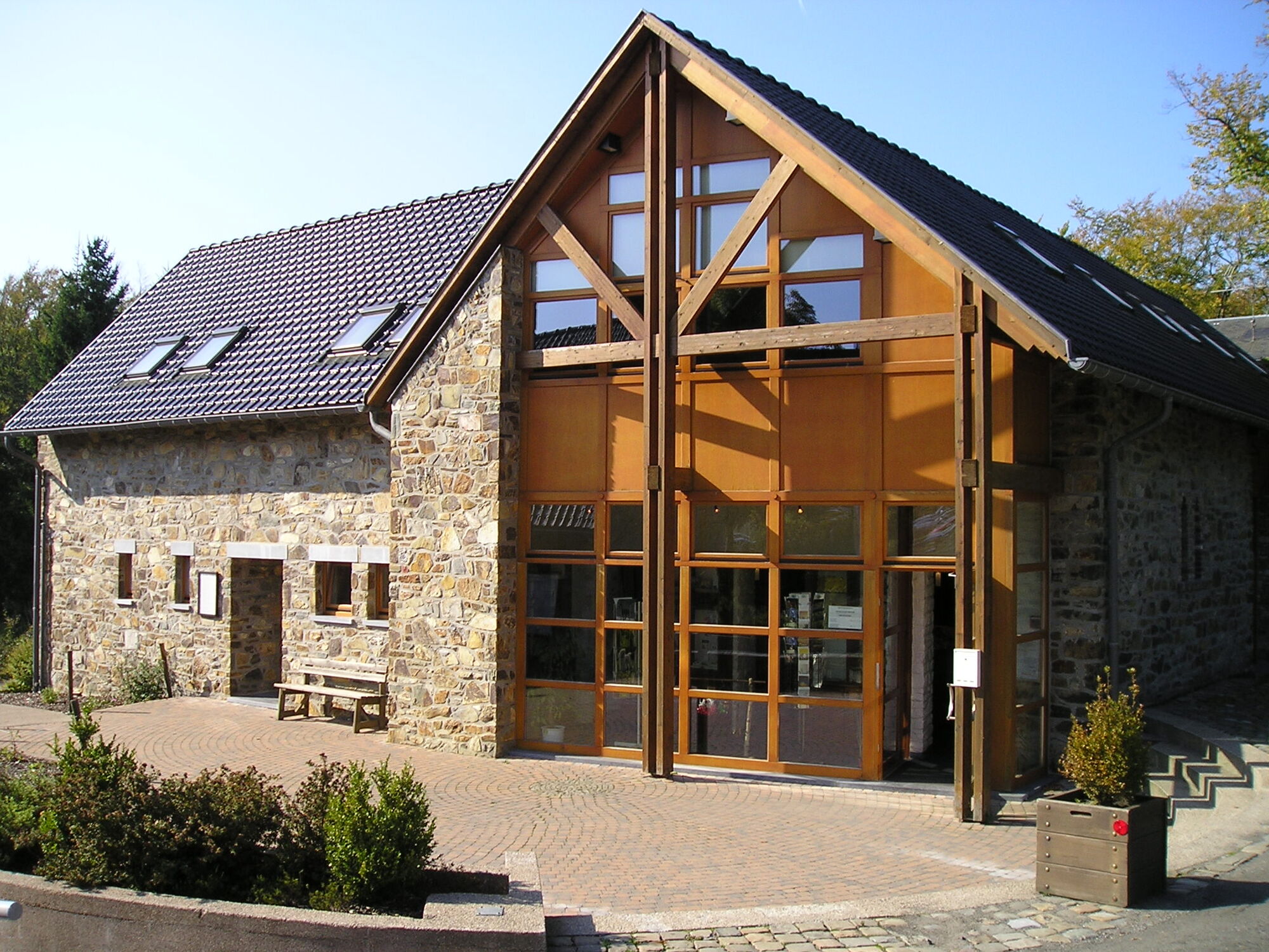
Down by Ternell house.
- Route
-
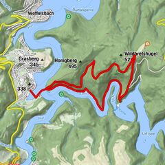
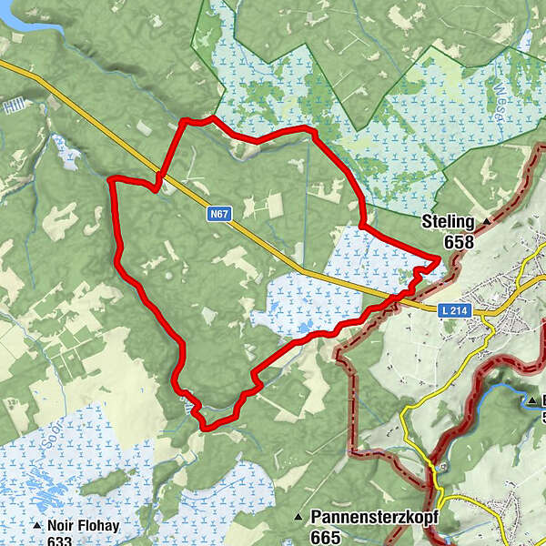
Ternell's0.0 kmTernell0.0 kmPouhon de Herzogenhügel6.3 kmVerbrannte Brücke15.2 kmBennetchen17.5 kmDiekdenquelle18.3 kmTernell19.3 kmTernell's19.3 km
- Best season
-
JanFebMarAprMayJunJulAugSepOctNovDec
- Description
-
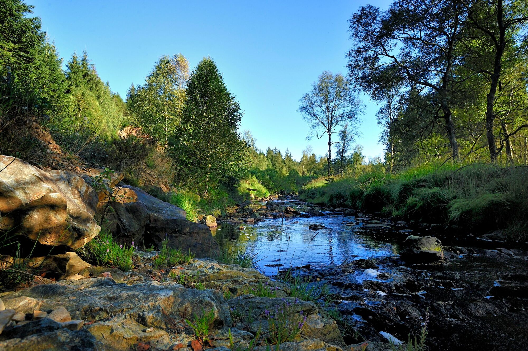
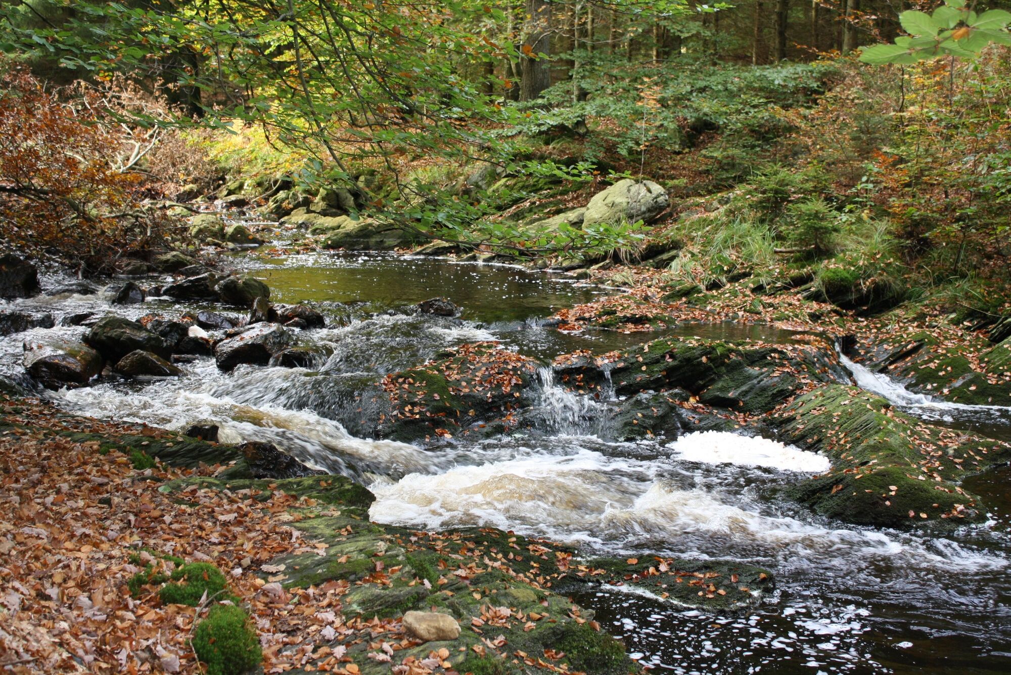
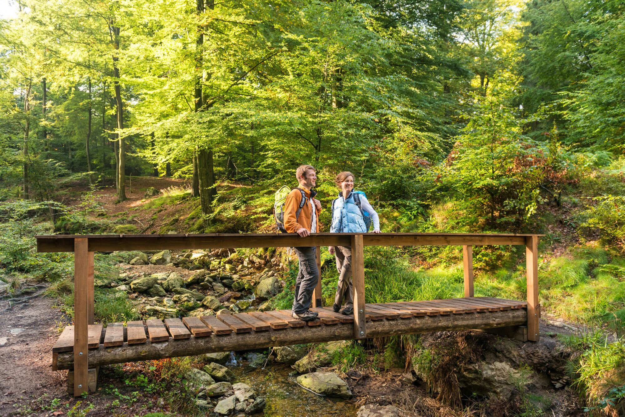
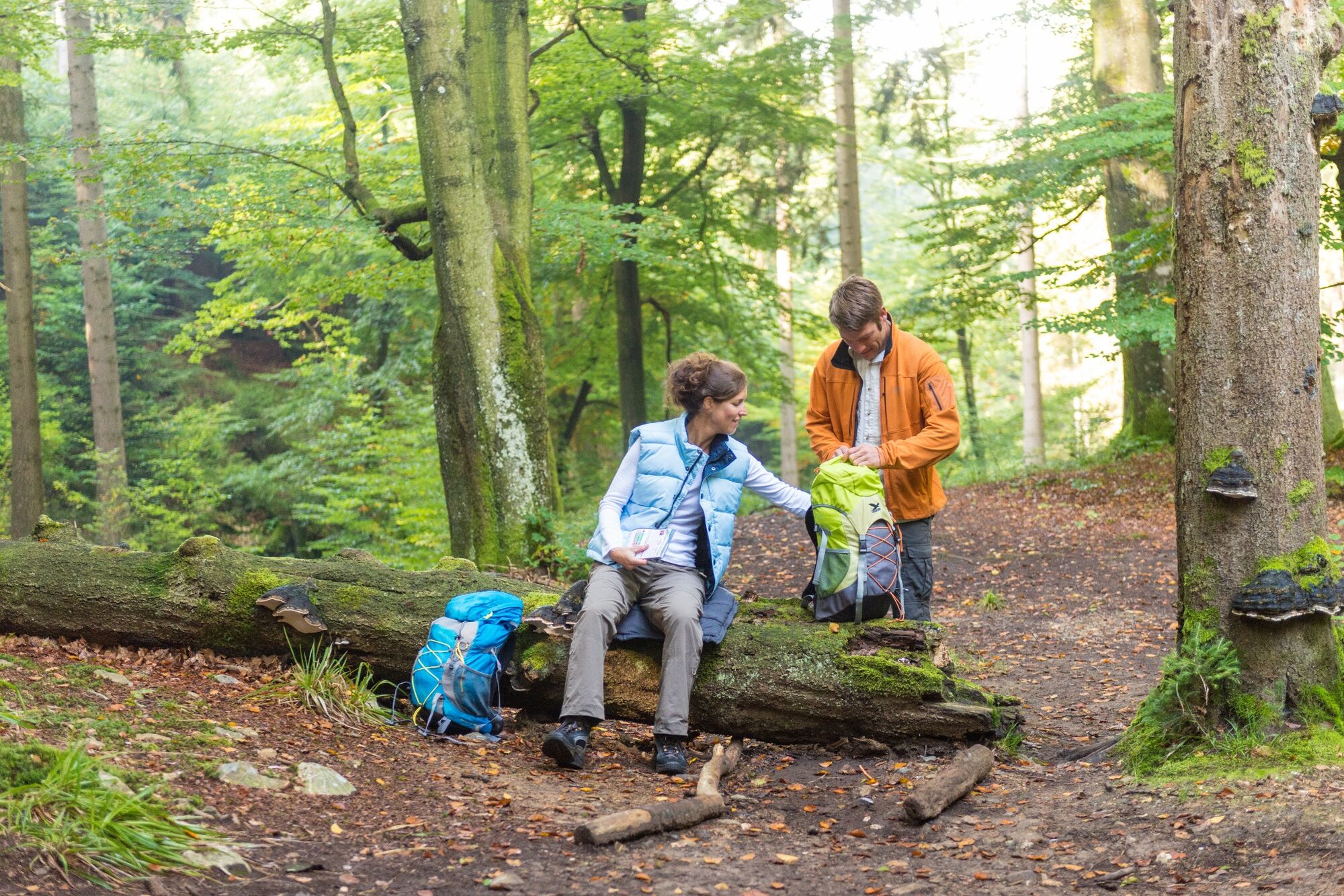
After the shaded terrace and appetising aromas from the inn at Haus Ternell we set off into the valley of the Hill. On the edge of the Hertogenwald the broad trail turns into a steep unmade path. From a long way down below the roar of the Hill makes itself heard, but it can't drown out the twitter of the birds. The Hill is reputed to be untamable. On its banks, it looks gentle and submissive, but as it follows its course it hurls itself into the valley, wild and unchained. As we ascend, we're glad to be able to avail ourselves of the handrail.
At the edge of the wood, the Herzogenhügel bridge appears, via which we make our way on to the plateau. A place that seems to be screened off by the forest from the world outside, because a deep silence has descended here. Via this long climb, we make our way back to Brack Fen, a moor landscape that is less well known, but none the less charming for that. Among the tall grasses we come to Rotenbüchel, where the Getzbach rises and its black waters weave their way through the landscape.
- Directions
-
Hiking in the junction system:
Follow the hiking route nodes: 62 > 71 > 24 > 64 > 17 > 84 > 1 > 77 > 80 > 71 > 76 > 63 > 32 > 95 > 46 > 65 > 39 > 96 > 62
More information: https://www.ostbelgien.eu/en/walking/hiking-route-planer
- Highest point
- 623 m
- Endpoint
-
House Ternell
- Height profile
-
 © outdooractive.com
 - Equipment
-
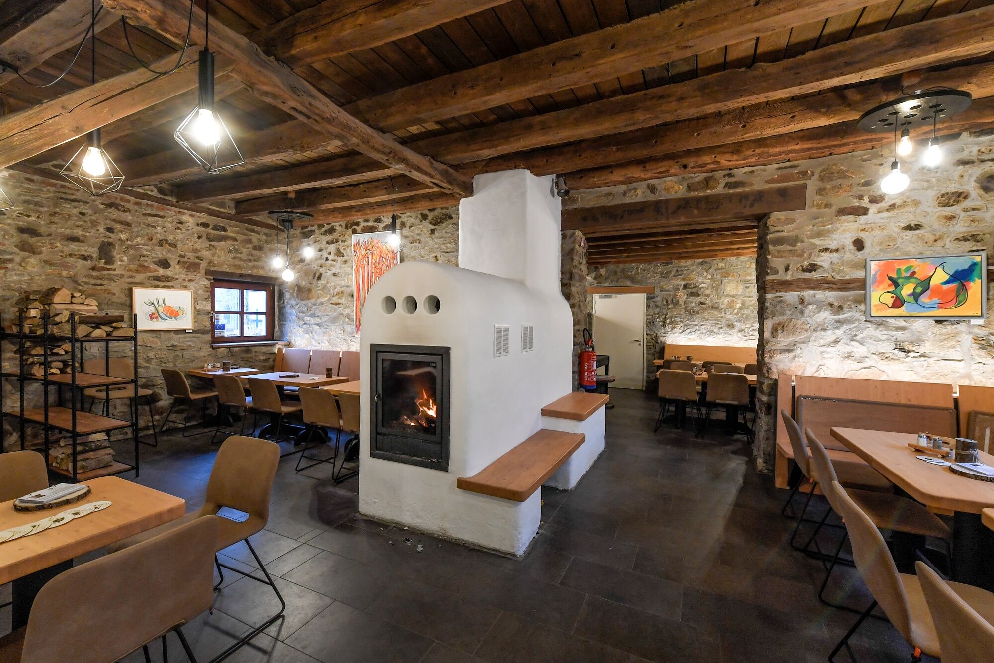
Wear tall hiking boots, take water with you and drop into House Ternell for refreshments.
- Safety instructions
-
For experienced hikers. The route along the Hill is breathtaking, but contains difficult sections.
Dogs are not allowed on this hike. - Tips
-
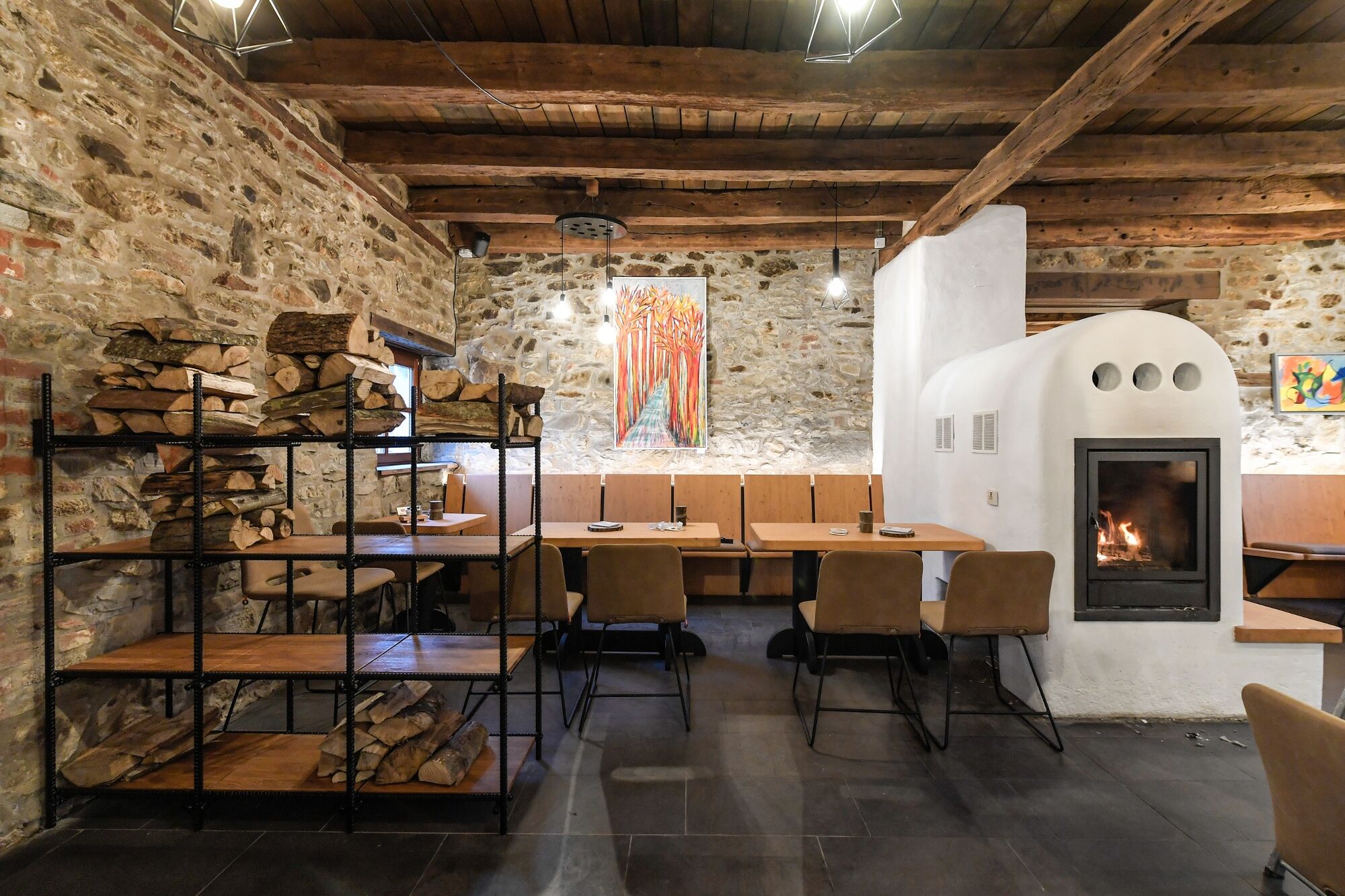
Stop for a bite to eat in the cosy restaurant Ternell.
- Additional information
- Directions
-
Please use the route planner.
- Public transportation
- Parking
-
Parking at Ternell Nature Centre. GPS-Coordinates N503516 - E60777

- Author
-
The tour Pleasure tour 23 – So close and yet so far is used by outdooractive.com provided.


General info
-
Eifel & Aachen
1424
-
Hohes Venn
606
-
Monschau
303