© Natalie Glatter

© Natalie Glatter
- Difficulty
-
medium
- Rating
-
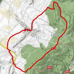
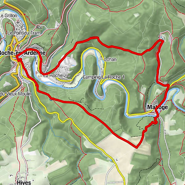
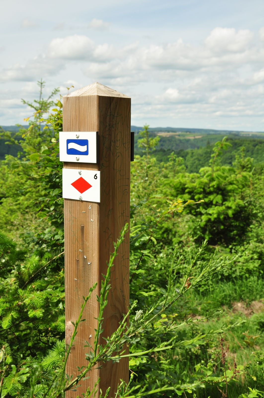
- Route
-
Fels in den Ardennen0.1 kmÉglise Saint-Roch5.8 kmMaboge5.8 kmChapelle de Chèssion6.4 kmBorzée8.0 kmChapelle Notre-Dame Immaculée8.1 kmFels in den Ardennen13.1 km
- Best season
-
JanFebMarAprMayJunJulAugSepOctNovDec
- Highest point
- 417 m
- Endpoint
-
Place du Bronze in La Roche–en–Ardenne
- Height profile
-
 © outdooractive.com

- Author
-
The tour Hoch über der Ourthe – Von La Roche-en-Ardenne nach Maboge is used by outdooractive.com provided.
GPS Downloads


General info
Cultural/Historical
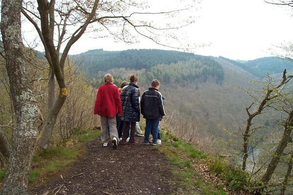
A lot of view
Other tours in the regions
-
Wallonie
219
-
Ardennen
105
-
La Roche-en-Ardenne
32