
- Brief description
-
Discover the open meadowland near Robertville and follow the Warche as it roars wildly on its way.
- Difficulty
-
medium
- Rating
-
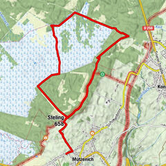
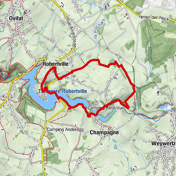
- Starting point
-
Parking at the level of the village church - go downhill in Robertville along the " rue du Lac " (N676) and turn left (rue du Thier)
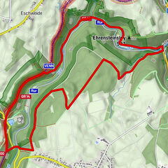
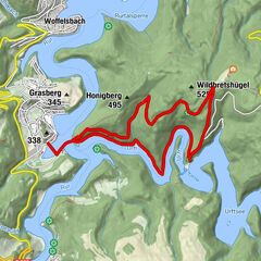
- Route
-
In der BiveltChez PhilÉglise Saint-Joseph0.1 kmAuberge du Lac0.1 kmIn der Bivelt8.4 kmChez Phil8.4 km
- Best season
-
JanFebMarAprMayJunJulAugSepOctNovDec
- Description
-
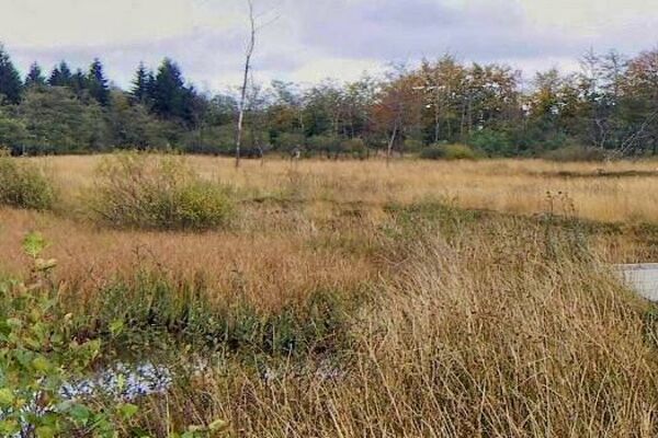
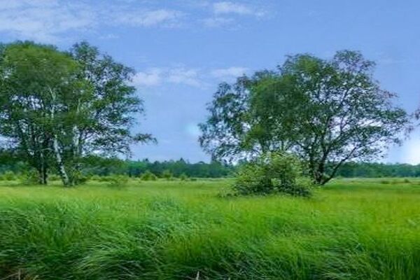
Going out of the village, we follow a field track, surrounded by hedges and beech trees, into a dreamy meadow landscape. There are benches here and there so that you can sit and enjoy nature for a moment. We’re on the old footpath, which leads to the former station at Robertville. No trains stop here any more now. Instead cyclists and pedestrians are en route along the Vennbahn, the well known railway line cycle path.
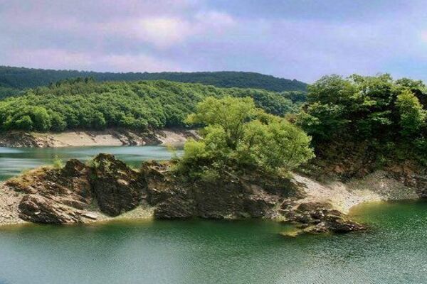
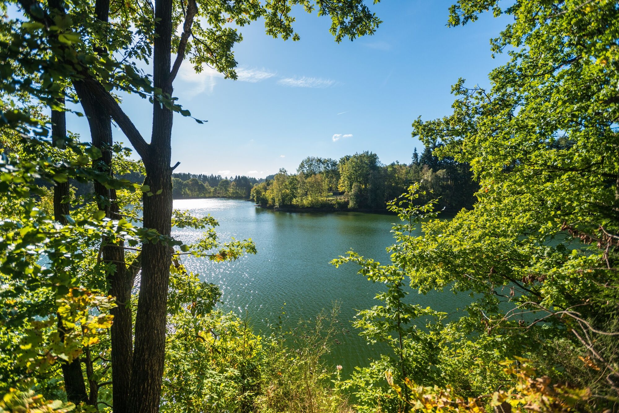
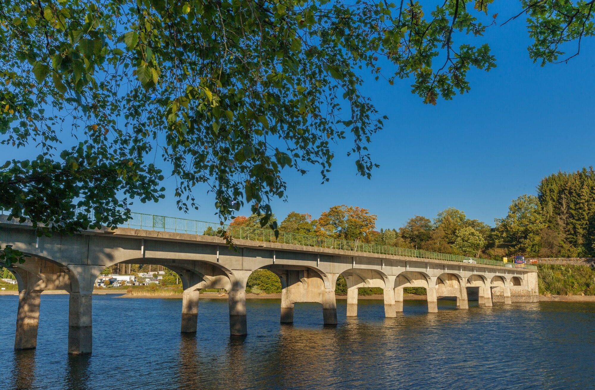
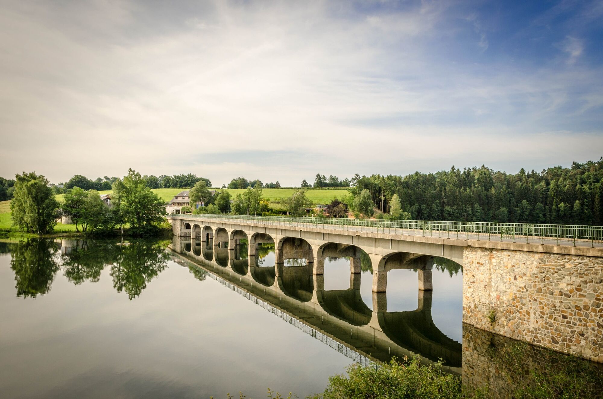
A little way further on, a winding path leads down into the Warche valley as far as the river. Beavers have found a home here. In some places the river is torrential; in others it just burbles along. On gangplanks and narrow trails the route goes downstream along the Warche. Then we come to the lake and follow the path on the left-hand shore. Anglers sit here, waiting calmly and patiently for a good catch. Back in Robertville, we look back on a varied, relaxing walk.
- Directions
-
Marking: blue rectangle, logo "Narcissus"
- Highest point
- 551 m
- Endpoint
-
Parking at the height of the village church
- Height profile
-
 © outdooractive.com
 - Equipment
-
Hiking boots recommended. Bring water and small snacks.
- Safety instructions
-
A very varied hike, with some difficult (steep) passages at the Warche.
- Tips
-
Remember to pack your swimming gear in the summer. At the end of this walk you come to the beach at Robertville.
- Additional information
- Directions
-
From Germany: E40 take exit 38-Eupen, follow N67 to Eupen, in Eupen direction Waimes/Hohes Venn, follow N676 to Robertville Rue du Barrage/N681.
Motorway E42: Exit 11 Malmedy, through the centre of the village, then follow direction Robertville.
- Public transportation
- Parking
-
At the church of Robertville


- Author
-
The tour Pleasure tour 17 – From the lake to the sources of the Quarreux is used by outdooractive.com provided.

General info
-
Eifel/ Rheinland-Pfalz
1056
-
Hohes Venn
602
-
Weismes
120