GR 57 Vallée de l'Ourthe et Sentier du Nord, Belgium & Luxembourg


- Brief description
-
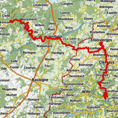
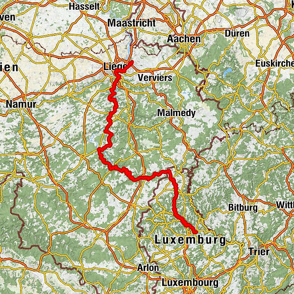
Hiking through the heart of the Ardennes on the GR 57; Vallée de l'Ourthe et Sentier du Nord. From Housse to Diekirch.
- Difficulty
-
easy
- Rating
-
- Starting point
-
Housse
- Route
-
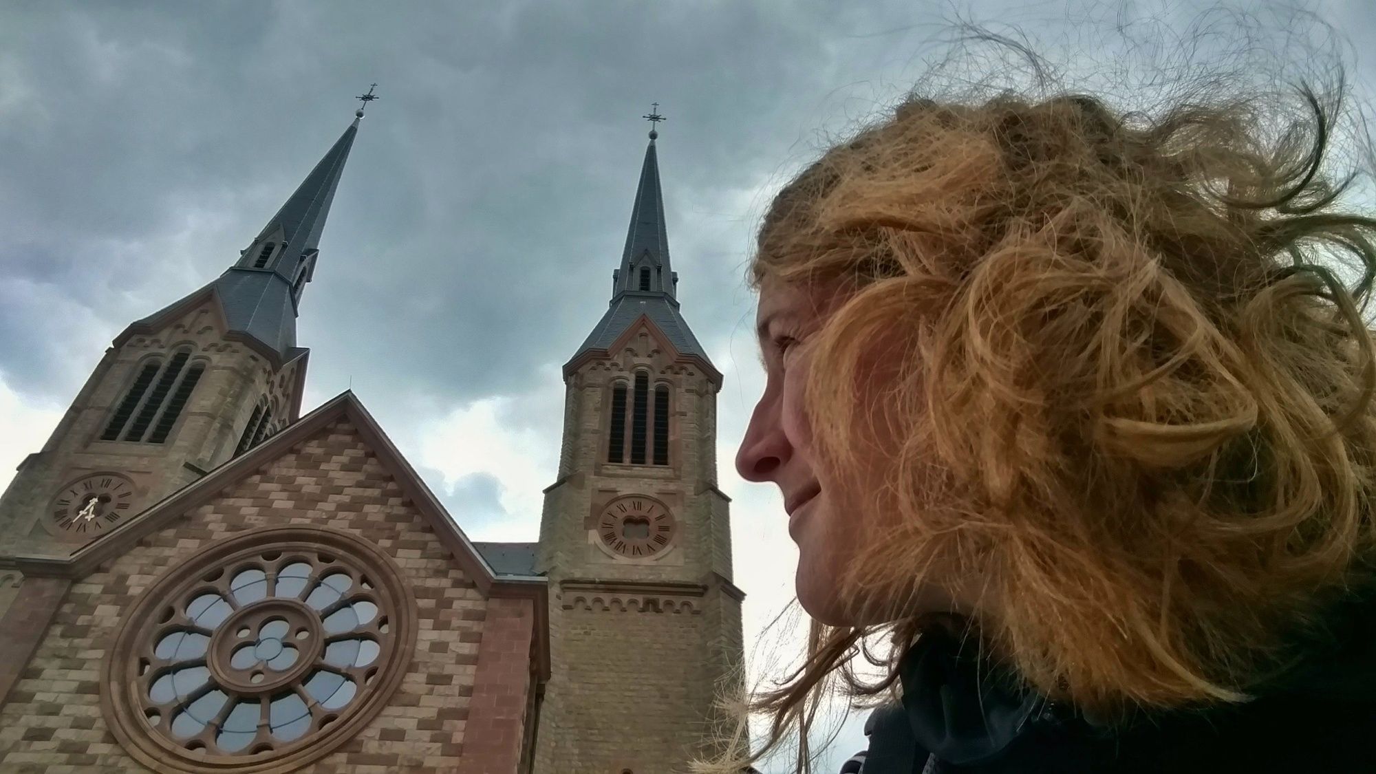
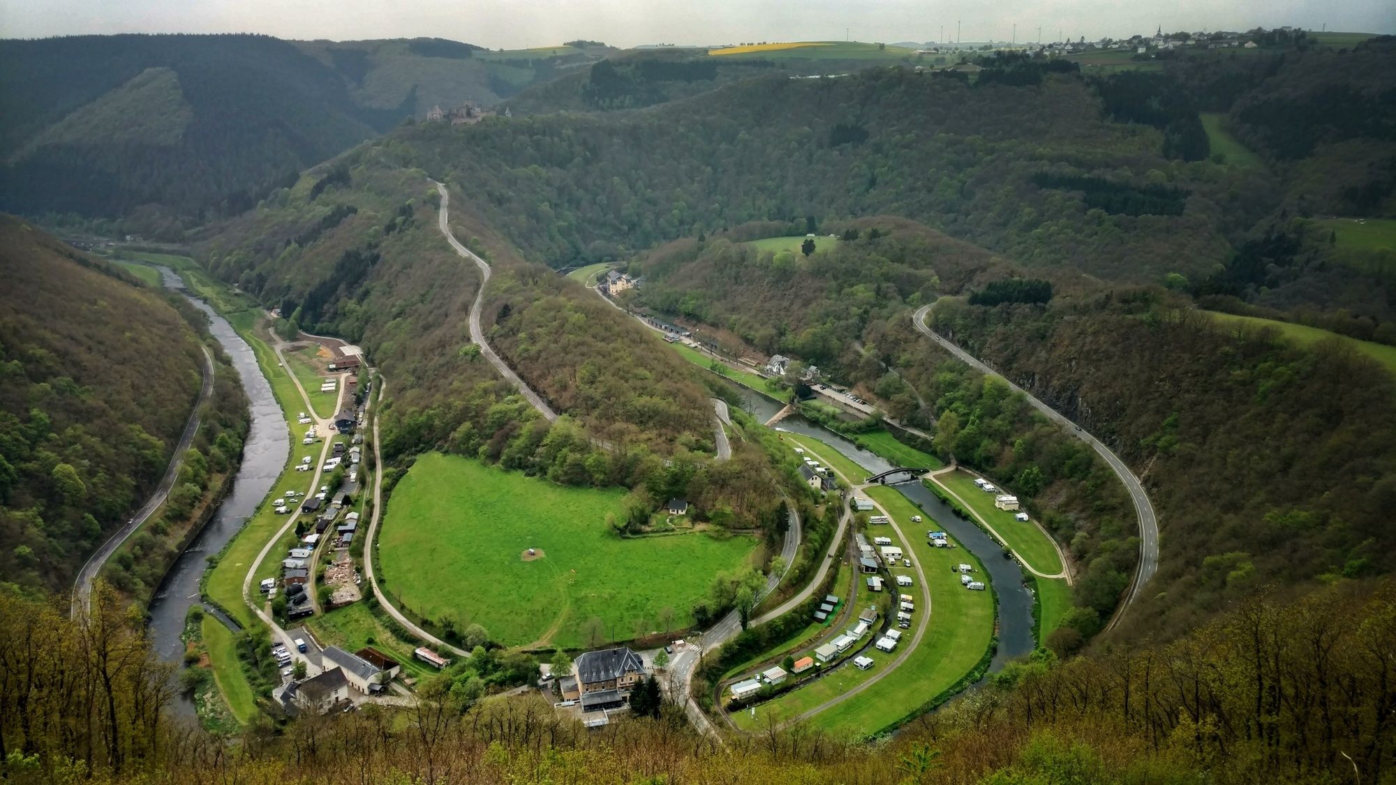
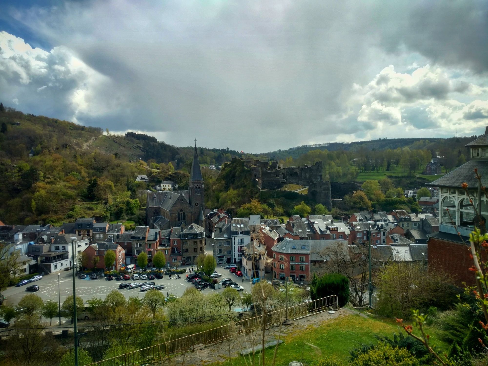
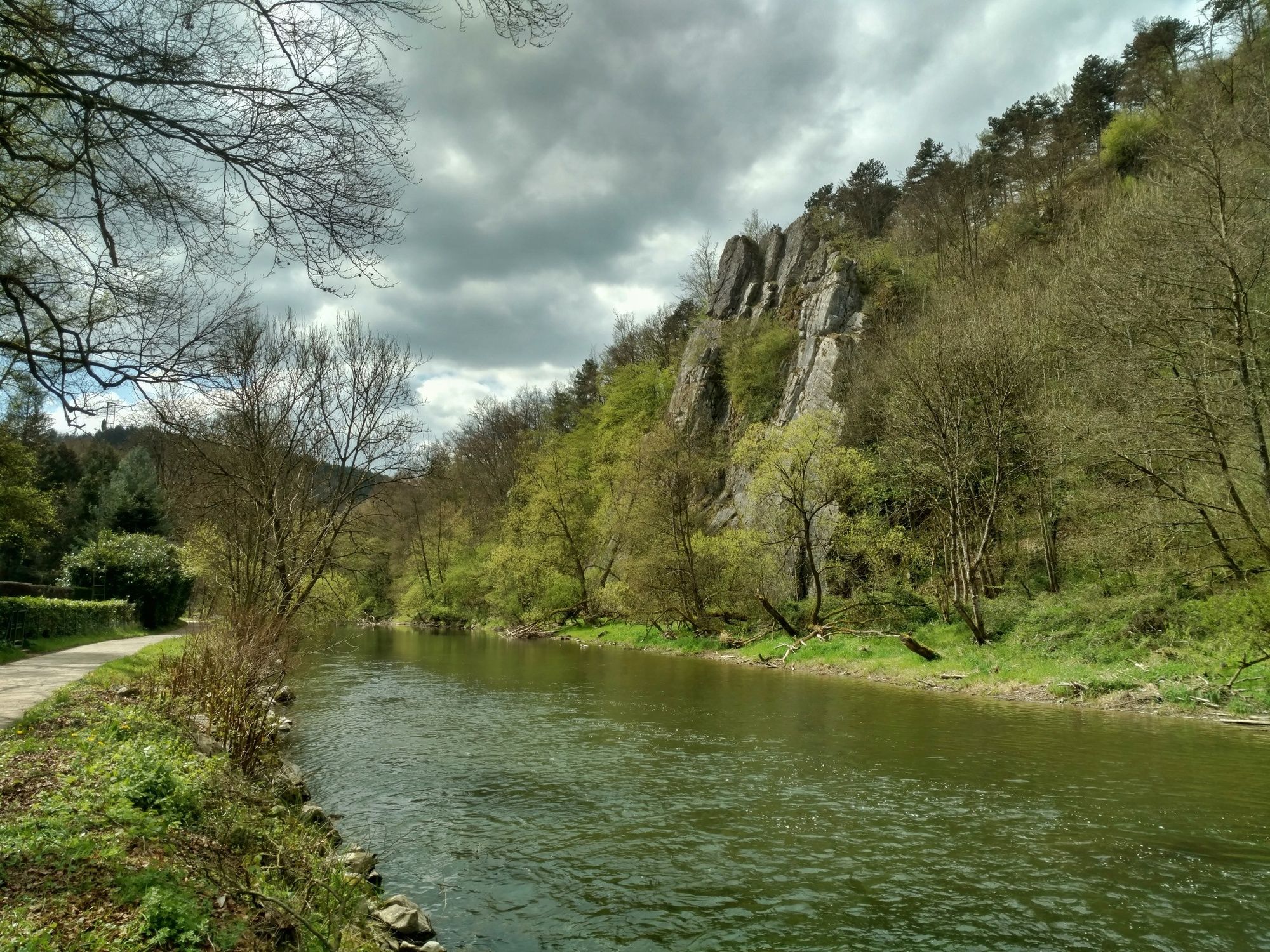
Housse0.2 kmLégipont3.4 kmRestaurant La Minute4.7 kmXhavée4.7 kmHerstal6.4 kmJupille-sur-Meuse7.8 kmÉglise Saint-Joseph10.5 kmSnack-Grillade Pierre de Lave10.7 kmBressoux12.2 kmÉglise Saint-Remacle-au-Pont14.7 kmÉglise Saint-Nicolas15.3 kmMosquée El-Iman15.5 kmLüttich15.9 kmNavette Fluviale - Pôle fluvial16.1 kmÉglise Marcellis17.0 kmSeraing17.5 kmGrivegnée20.7 kmAngleur21.1 kmAngleur21.2 kmBois Saint-Laurent27.3 kmRoche aux Faucons (205 m)33.4 kmTige de la Croisette33.4 kmTriple douve33.9 kmTrou Marie35.0 kmRosière35.6 kmGrotte Jacques36.2 kmEsneux38.1 kmParc du Mary39.3 kmRond Bâti (230 m)42.9 kmGrand Enclos47.8 kmEn Sart48.6 kmFond du Sart49.2 kmComblain-au-Pont55.3 kmÉglise Saint-Martin56.1 kmGrotte du Thier Pirard57.5 kmGrotte du Héron57.6 kmTrou du Lierre57.8 kmBoyau du Thier Pirard57.9 kmComblain-la-Tour61.0 kmÉglise Saint-Pierre68.0 kmXhignesse68.0 kmHamoir71.1 kmÉglise Sainte-Vierge-Marie71.6 kmHamoir71.8 kmLa Petite Différence76.3 kmTukhut76.3 kmLe Cheval Blanc76.3 kmSy76.7 kmBomal82.0 kmBarvaux85.9 kmMorville90.5 kmWéris93.7 kmÉglise Sainte-Walburge94.1 kmPura Cepa94.2 kmLe Cor de Chasse94.6 kmFisenne98.9 kmLe Cor de Chasse104.2 kmWéris104.5 kmÉglise Sainte-Walburge104.5 kmPura Cepa104.5 kmFisenne108.9 kmChapelle Saint-Roch112.8 kmSoy113.1 kmHampteau117.7 kmFontaine de Thot118.3 kmFré Djame119.0 kmLa Command'Rie119.6 kmHotton119.9 kmChantoir Maniette121.3 kmChapelle Saint-Martin125.8 kmWaharday125.9 kmNotre dame des Champs126.4 kmÉglise Saint-Gengulphe128.6 kmChéoux128.7 kmHodister133.2 kmÉglise Saint-Brice133.3 kmWarisy135.4 kmPetit-Halleux139.0 kmBeausaint141.7 kmFels in den Ardennen149.4 kmÉglise Saint-Nicolas149.6 kmÉglise Saint-Nicolas155.5 kmÉglise Saint-Roch163.5 kmMaboge163.6 kmChapelle de Chèssion164.0 kmFrancois Remy174.7 kmTiebiewe (260 m)175.4 kmOllomont177.0 kmEngreux186.2 kmÉglise Saint-Antoine de Padoue186.2 kmÉglise Saint-Bernard187.9 kmBonnerue188.0 kmCreu do Hourd (435 m)189.0 kmLa Petite Brasserie194.0 kmHohenfels194.2 kmChapelle Notre-Dame de Lourdes194.6 kmL'hermitage196.0 kmÉglise Saints-Pierre et Paul209.5 kmSteinbach209.6 kmLomerslaer212.3 kmÉglise Saint-Etienne212.4 kmSaint-Corneille217.7 kmOberbesslingen217.7 kmNiederbesslingen219.1 kmOp d'Geissbréck220.4 kmUlflingen222.7 kmAu Rendez-vous223.6 kmUlflingen (469 m)223.8 kmSaint-André224.2 kmFünfbrunnen226.9 kmMaulusmühle229.8 kmClerf236.7 kmClerf239.3 kmDrauffelt244.9 kmPintsch248.2 kmSankt Maximin248.3 kmLellingen249.5 kmChapelle Saint-Pierre249.5 kmAlscheid253.3 kmKautenbach257.3 kmHuberty257.5 kmSaint-Bernard257.8 kmHoflee262.7 kmPoint de vue "Hoflee"263.3 kmSchlindermanderscheid265.5 kmUnterschlinder266.8 kmLipperscheid270.5 kmMoulin de Bourscheid272.6 kmGringlay273.6 kmViewpoint on the Sure274.6 kmMichelau275.6 kmClosdelt279.7 kmFridhaff281.7 kmBamerdall283.7 kmCentre culturel islamique Nordstadt285.4 kmSaint-Laurent285.6 kmDiekirch285.9 kmGilsdorf288.8 km
- Best season
-
JanFebMarAprMayJunJulAugSepOctNovDec
- Description
-
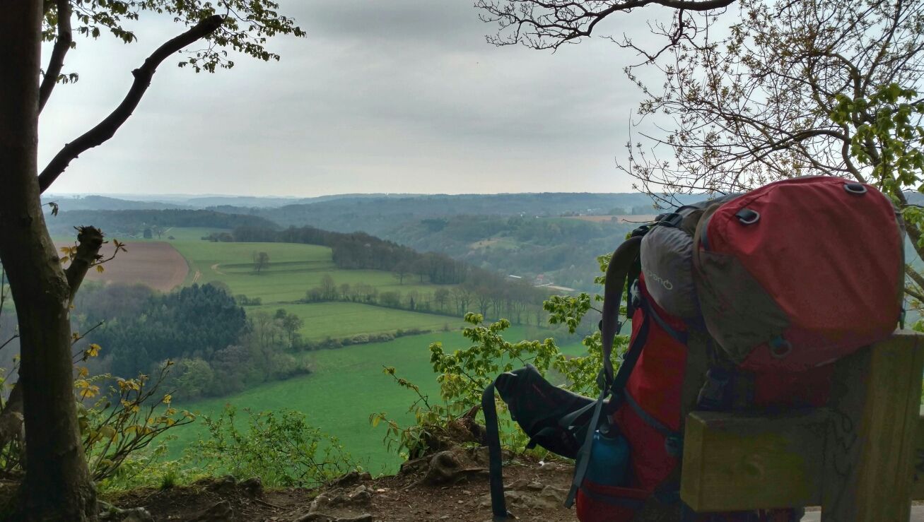
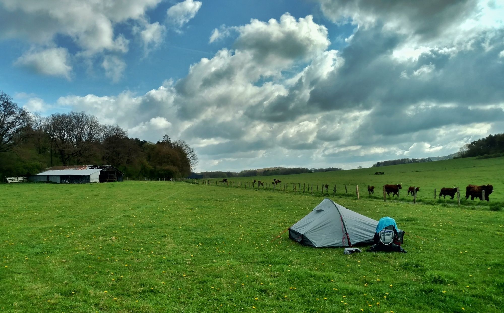
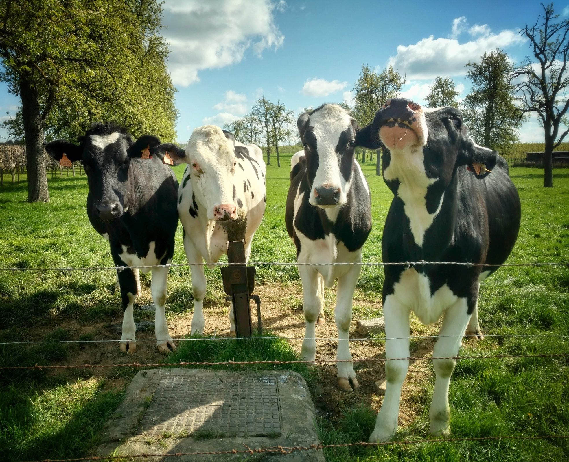
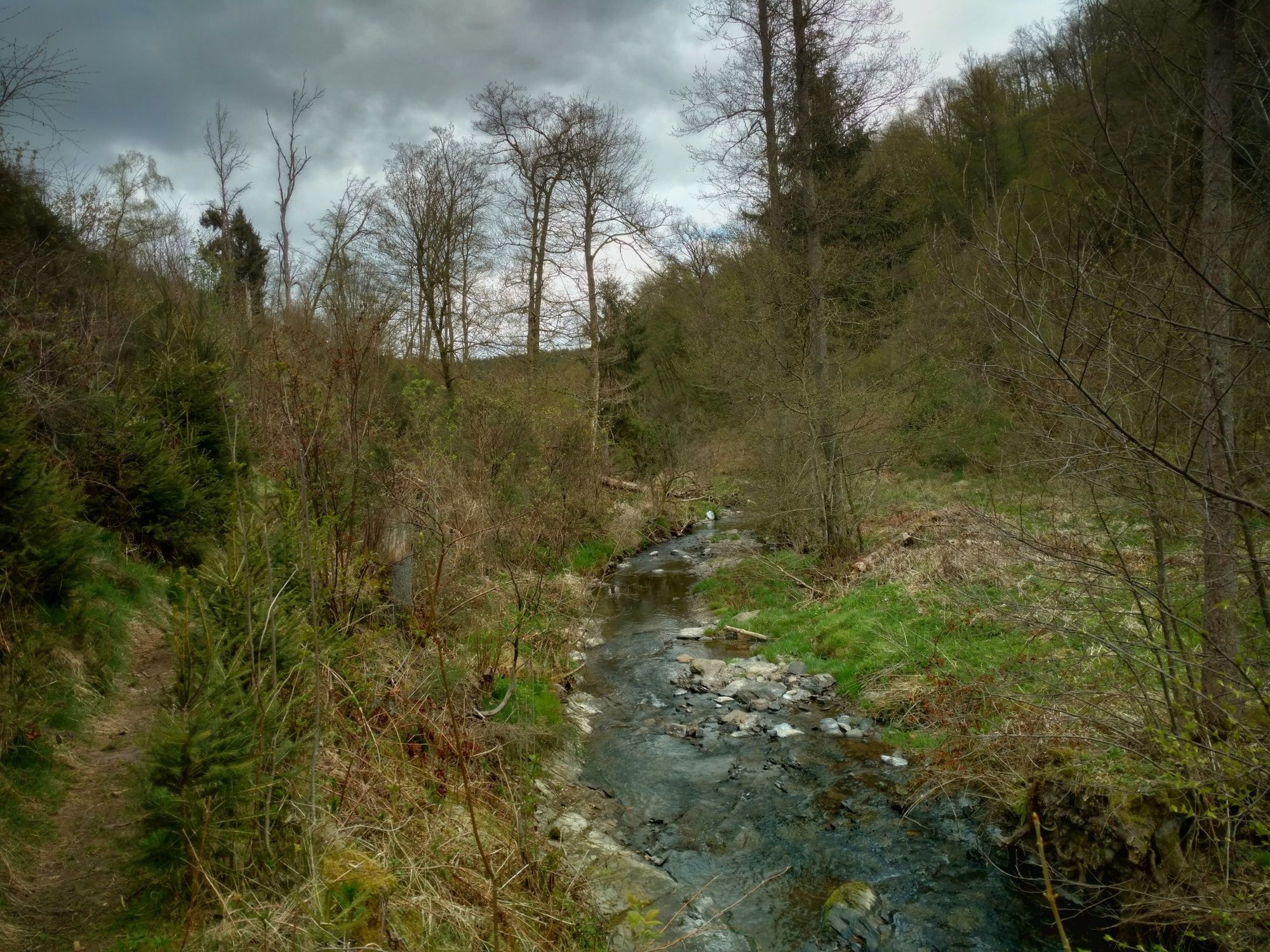
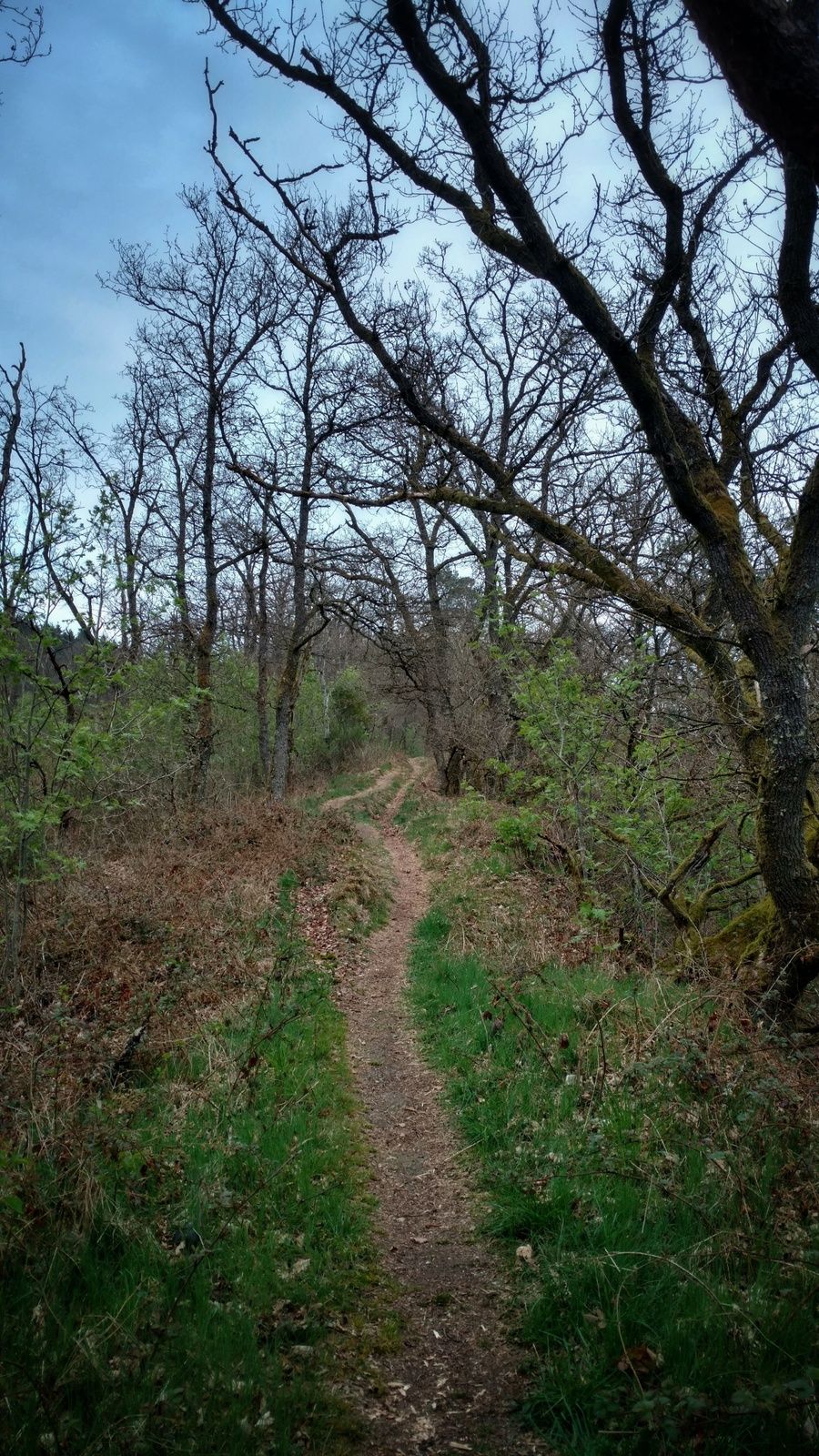
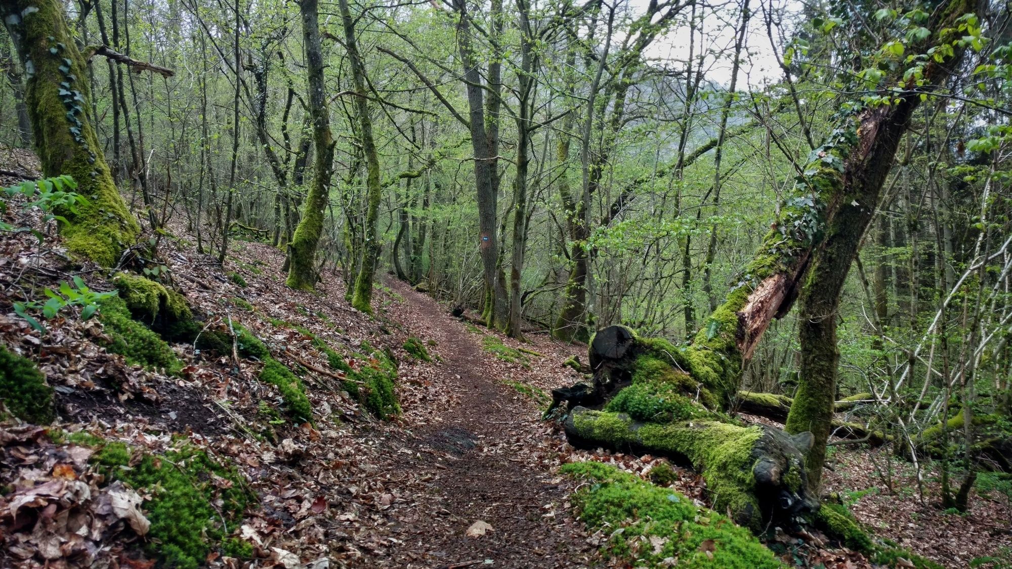
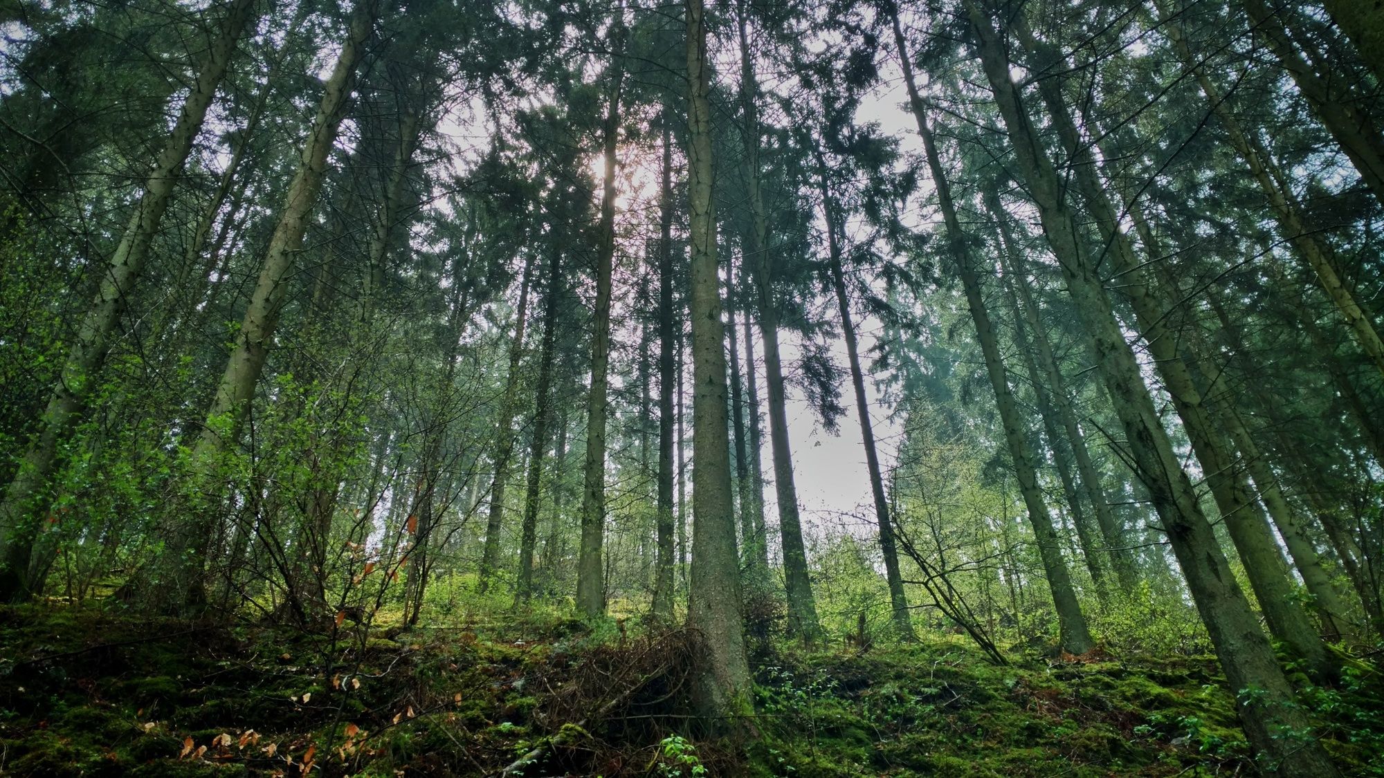
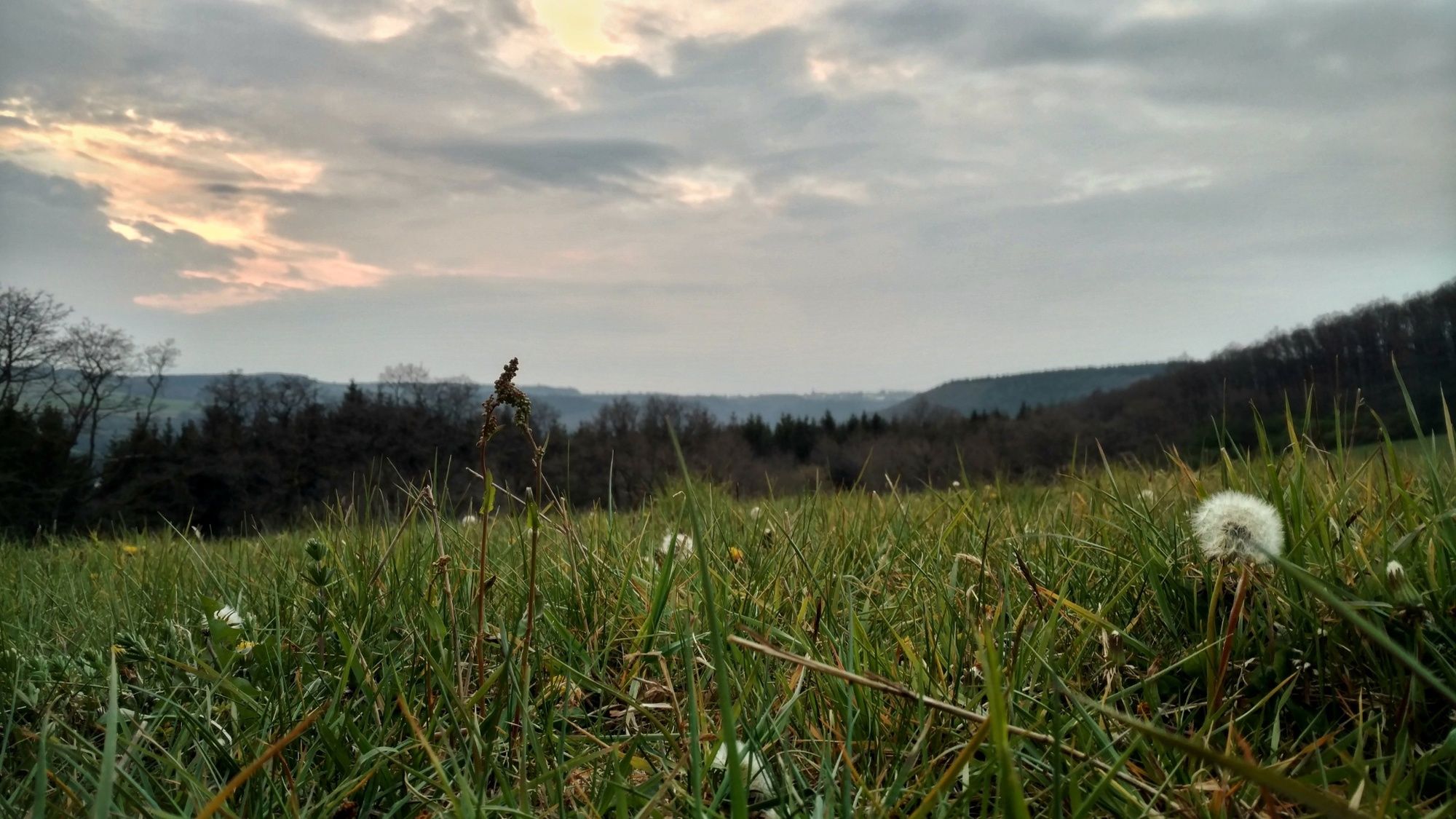
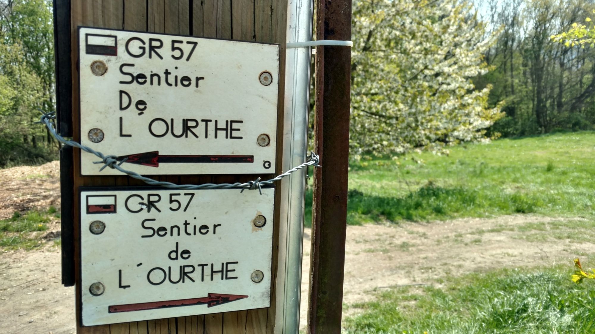
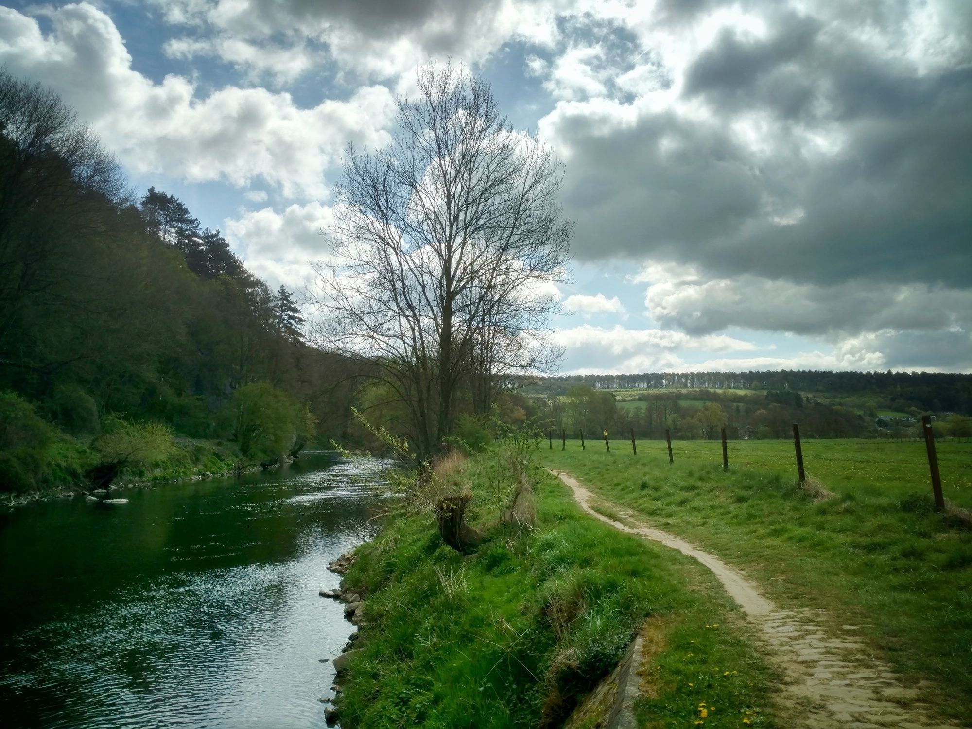
After finishing the Pilgrim’s route through the Netherlands, I switched to the GR57, a long distance hiking trail through the Ardennes in Belgium. The Wallonian part of Belgium to be more precise and further on through Luxembourg where the GR57 listens to a different name ˝Sentier du Nord˝, but it still follows the Ourthe until Diekirch (Luxembourg).
Complete list with daystages: Walking from Amsterdam to Sarajevo
My complete tours on Outdooractive:
BENELUX GERMANY ALPS BALKANSFor stories about my hike, check out my blog EVAdinarica Project.
- Highest point
- 506 m
- Endpoint
-
Diekirch
- Height profile
-
 © outdooractive.com
 - Equipment
-
.
- Safety instructions
- Tips
-
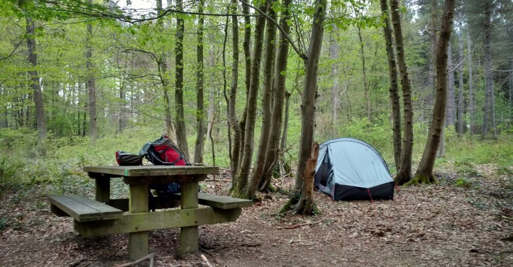
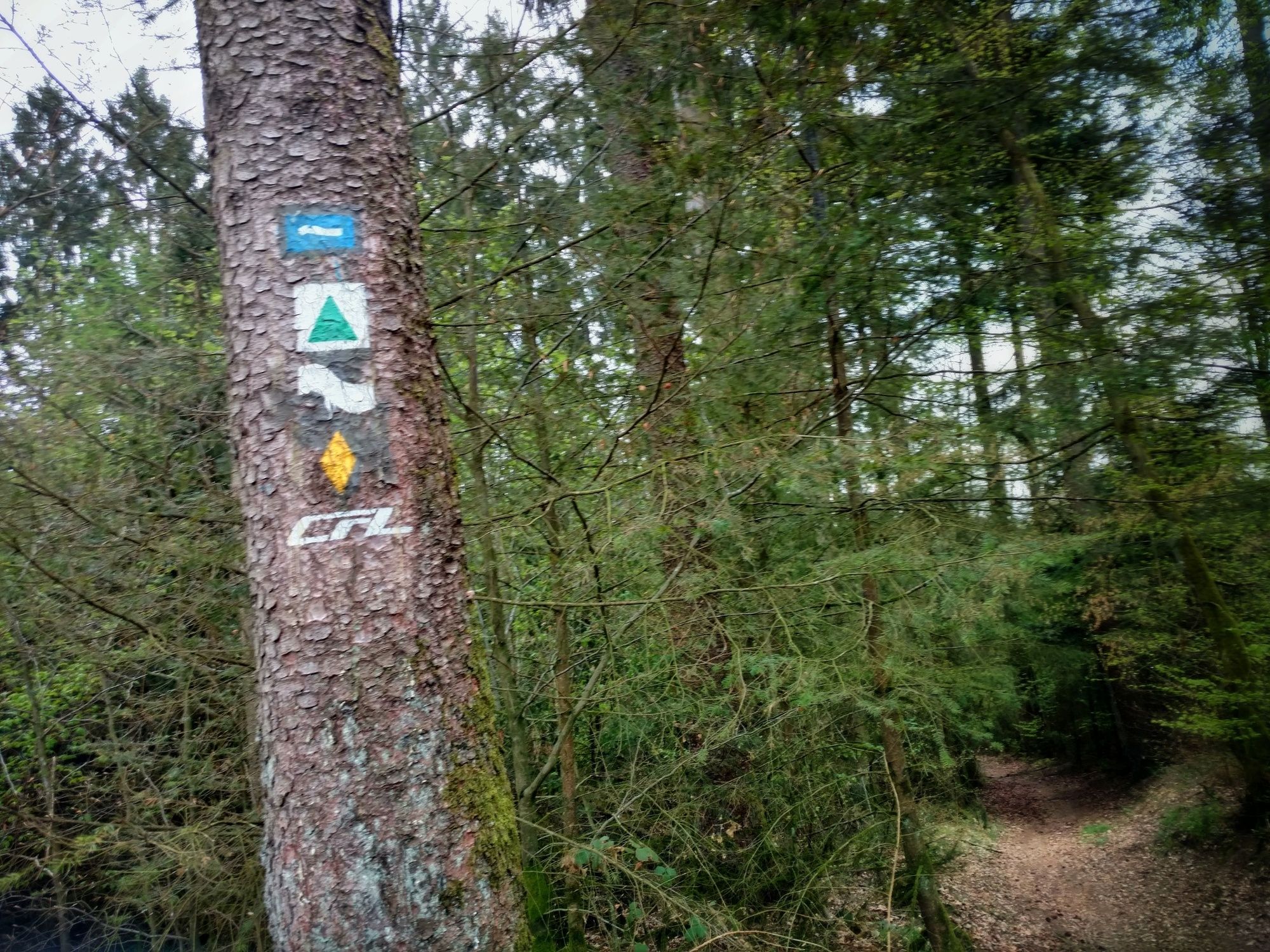
Although the route is well marked, I used a GPS with the original GPX-track to navigate. I can recommend that to everyone who doesn't want to carry the hiking guidebook or maps.
- Additional information


-

-
AuthorThe tour GR 57 Vallée de l'Ourthe et Sentier du Nord, Belgium & Luxembourg is used by outdooractive.com provided.


General info
-
Wallonie
219
-
Ardennen
105
-
La Roche-en-Ardenne
32