- Brief description
-
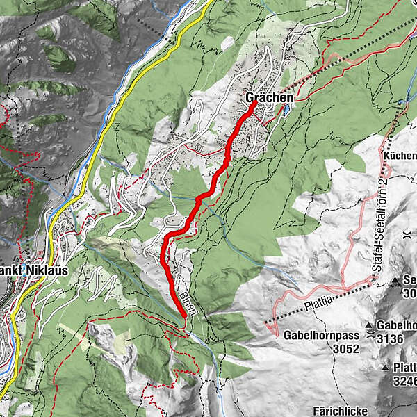
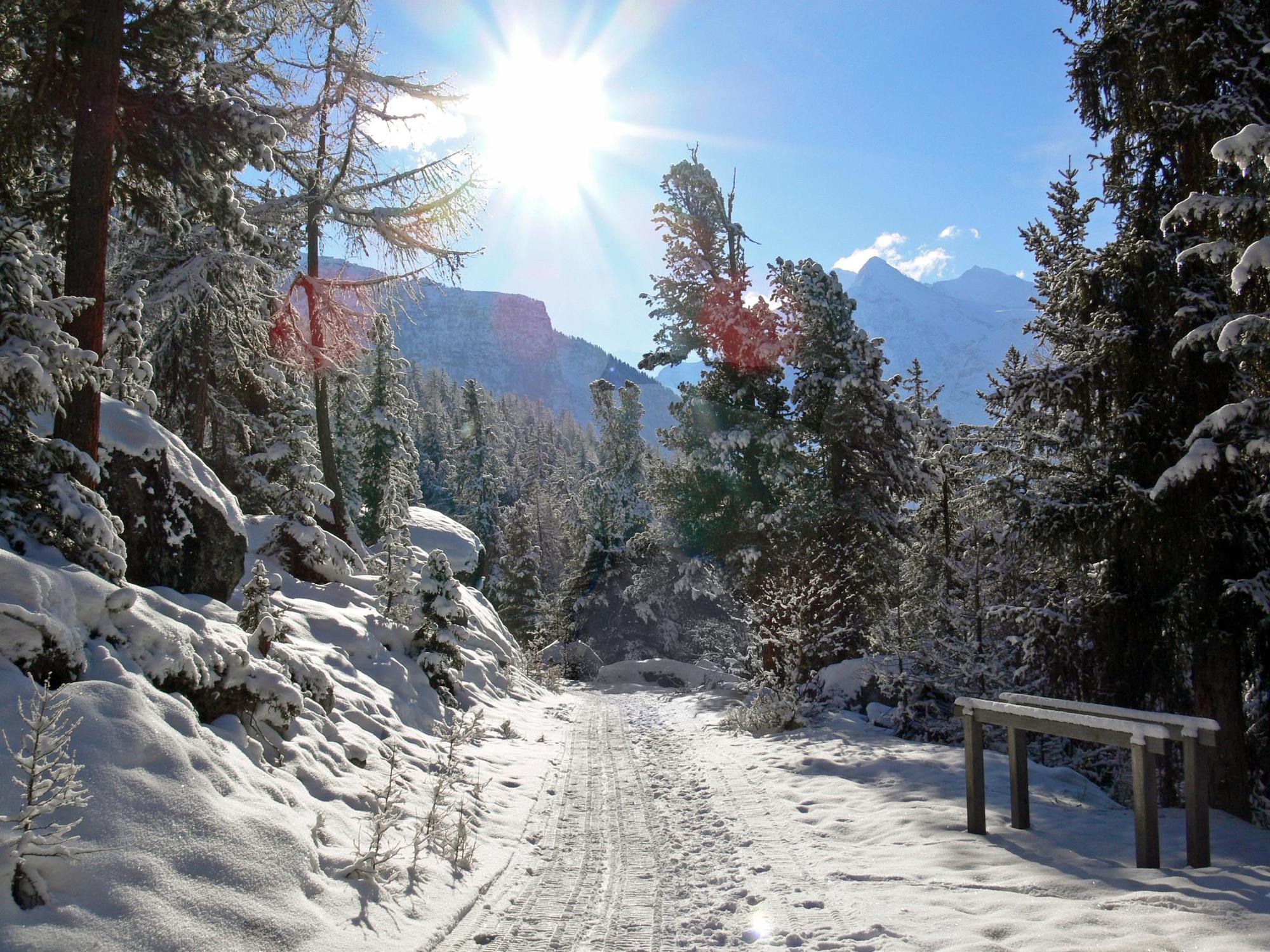
Easy hike through the car-free area of Grächen to the viewpoint in Schalbetten.
- Difficulty
-
easy
- Rating
-
- Starting point
-
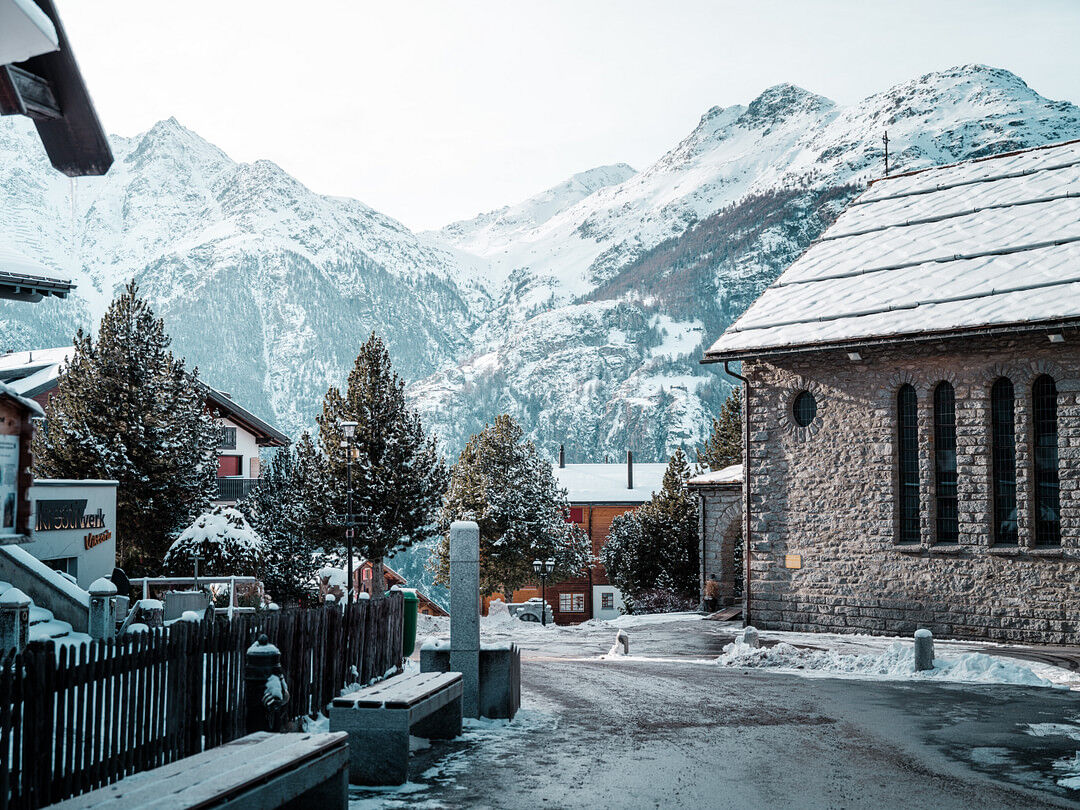
Grächen, village square (1614m)
- Route
-
GrächenKirche Grächen0.2 kmErbji1.8 kmChäschermatte2.1 kmGasenried2.3 kmRiederstübli2.6 km
- Best season
-
AugSepOctNovDecJanFebMarAprMayJunJul
- Description
-
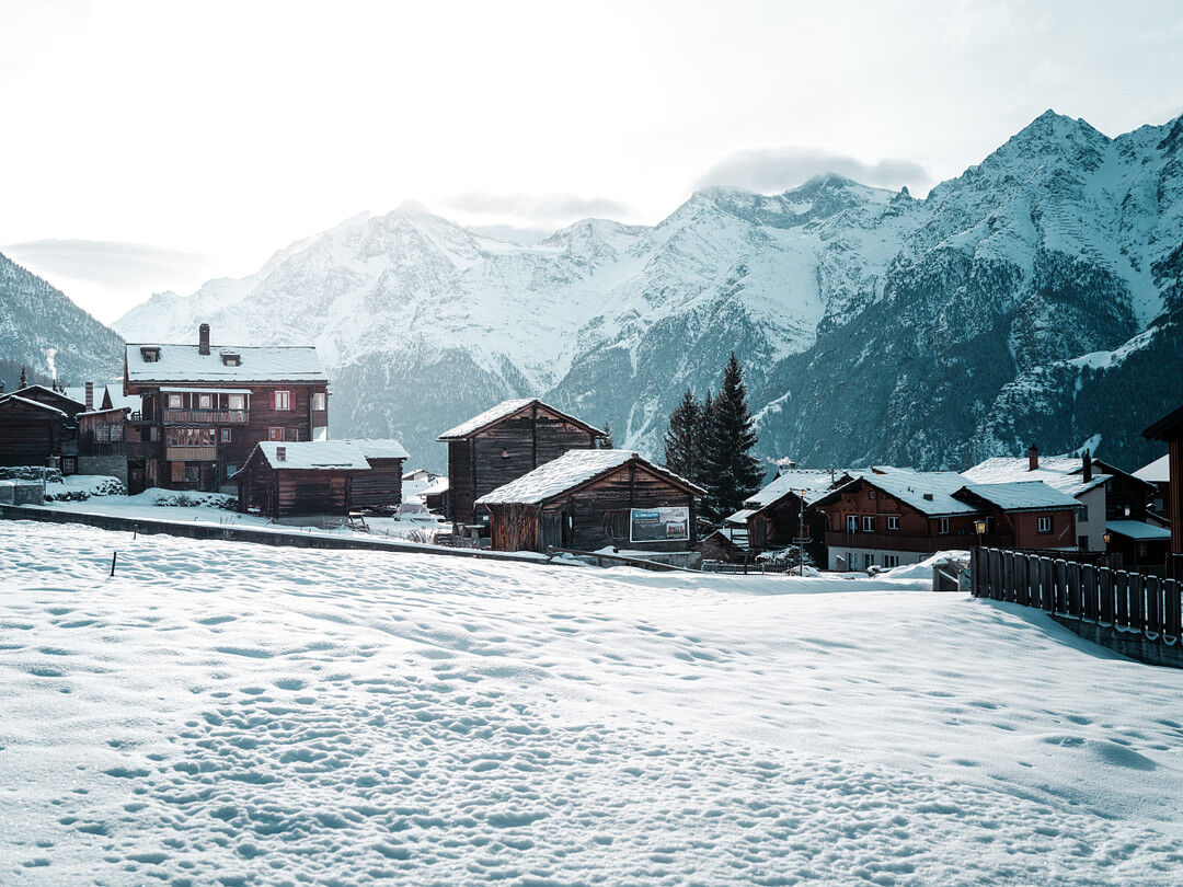
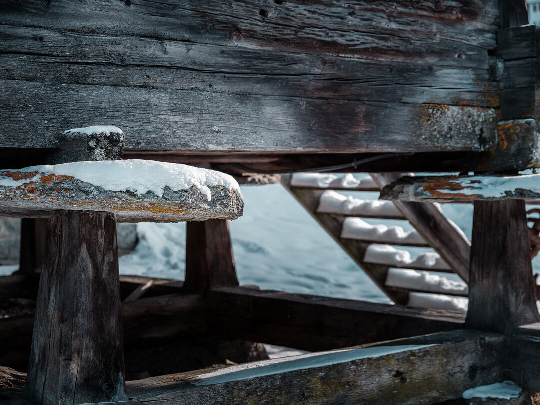
This tour offers wonderful views of the typical Valaisian barns made of sun-blackened larch wood and the surrounding four-thousand-metre peaks.
- Directions
-
This leisurely hike leads through the car-free part of the village and on through the idyllic Grächner winter forest. Follow the signposts along the Suone Bineri to Gasenried and on to Schalbetten.
- Highest point
- 1,681 m
- Endpoint
-
Schalbetten
- Height profile
-
 © outdooractive.com
 - Equipment
-
We recommend: good footwear clothing suitable for the weather: always carry a waterproof jacket hat or cap sunscreen bottle for water picnic camera binoculars (optional) hiking poles (optional)
- Safety instructions
-
Use of the trails and the information on this website is at hikers’ own risk. Local conditions may entail changes to routes. Grächen tourisme accepts no liability for the accuracy and completeness of information on this website.
For all hikes:
Bring a map. Download full description of this route including large-scale map by clicking on «Print» icon, top right of this page. Use marked trails only, and observe all signposting – for your own safety, to safeguard grazing animals and to avoid disturbing wildlife. Close gates after passing through. Please be considerate to other trail users, and to the plants and animals. Do not leave any waste in nature.For mountain hikes:
Take extra care protecting yourself from the sun at altitude. UV radiation can be exceptionally strong, even in cloudy weather. Plan hike carefully: take into consideration fitness level of each participant, weather forecast and season. Weather conditions can change quickly in the mountains, without warning. Appropriate clothing is therefore essential, along with adequate supplies of food and water. In uncertain weather, turn back in good time. - Tips
-
The trail offers geological highlights and a beautiful panorama.
- Additional information
-
The tourist office in Grächen provides you with information material and brochures on winter hiking.
- Directions
-
- Rhône Valley: Via Martigny - Visp to Grächen / St. Niklaus
- Car transport Lötschberg: Via Kandersteg - Goppenstein - Visp to Grächen / St. Niklaus (bls.ch/e/autoverlad/)
- Car transport Furka: Via Andermatt - Realp - Oberwald - Brig - Visp to Grächen / St. Niklaus (Car transport Furka)
- Tessin/Simplon: Via Lugano - Centovalli - Domodossola - Brig - Visp to Grächen / St. Niklaus (Car transport Simplon)
- Public transportation
-
From Visp take the train to St. Niklaus. There you change to the Post Bus which takes you to Grächen every half hour. On weekends, there is a direct bus service from Visp to Grächen. Find full timetable information at www.cff.ch
- Parking
-
Parking spaces in Grächen:
The car park Millegga is located by the village entrace in Grächen. Price per day (for covered parking space): CHF 15.00
Private Parking space provider:
Amstutz Trudy
Tel. +41 (0)27 956 13 35
Jeiziner Leon
Tel. +41 (0)27 956 16 31
Hotel Alpha
Tel. +41 (0)27 956 13 01
- Author
-
The tour Grächen - Heiminen - Gasenried - Schalbetten is used by outdooractive.com provided.


General info
-
Oberwallis
302
-
Moosalpregion
158
-
Grächen - St. Niklaus
27