


- Brief description
-
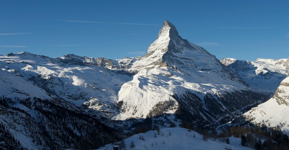
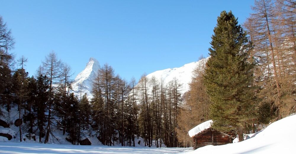
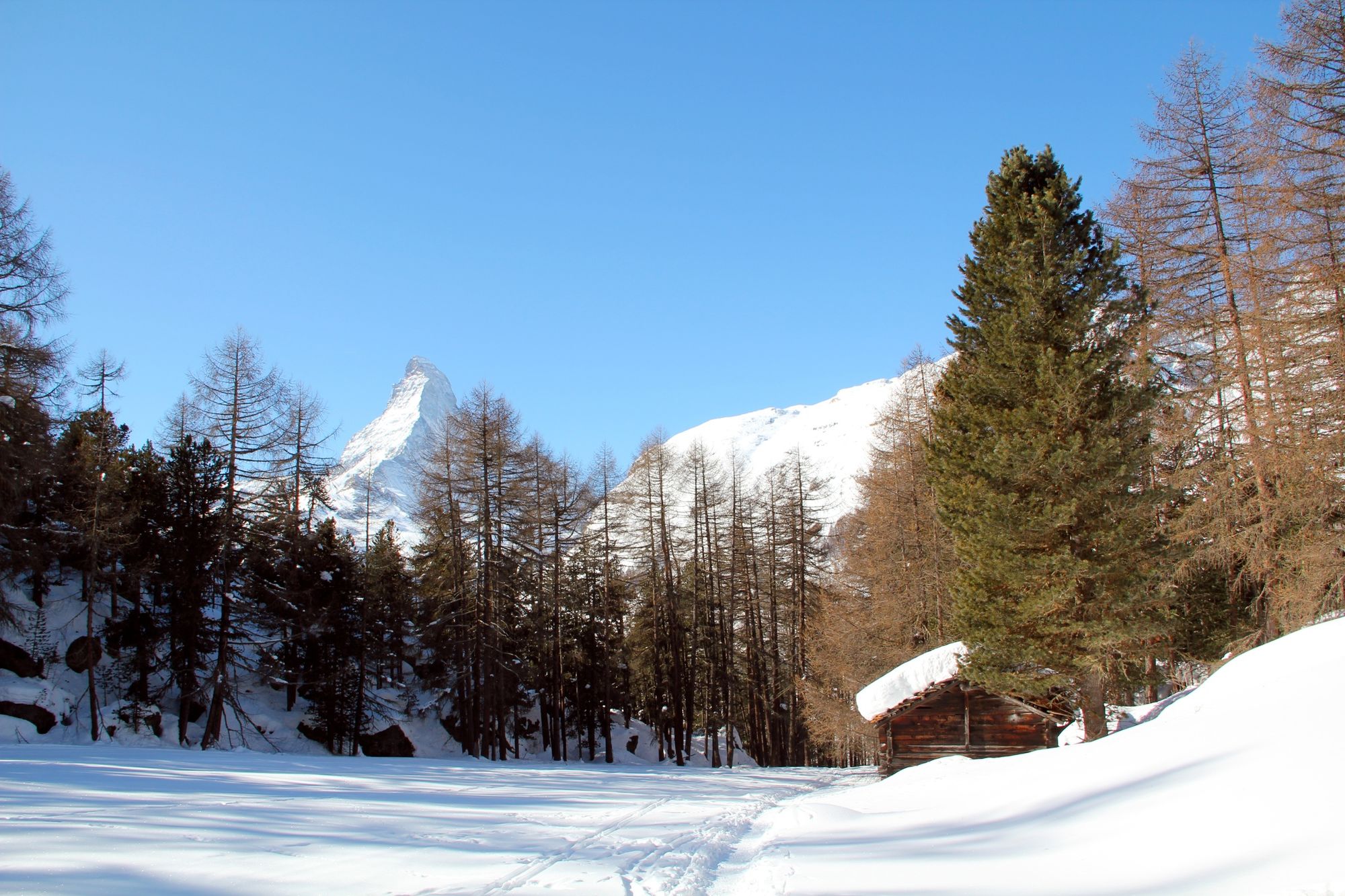
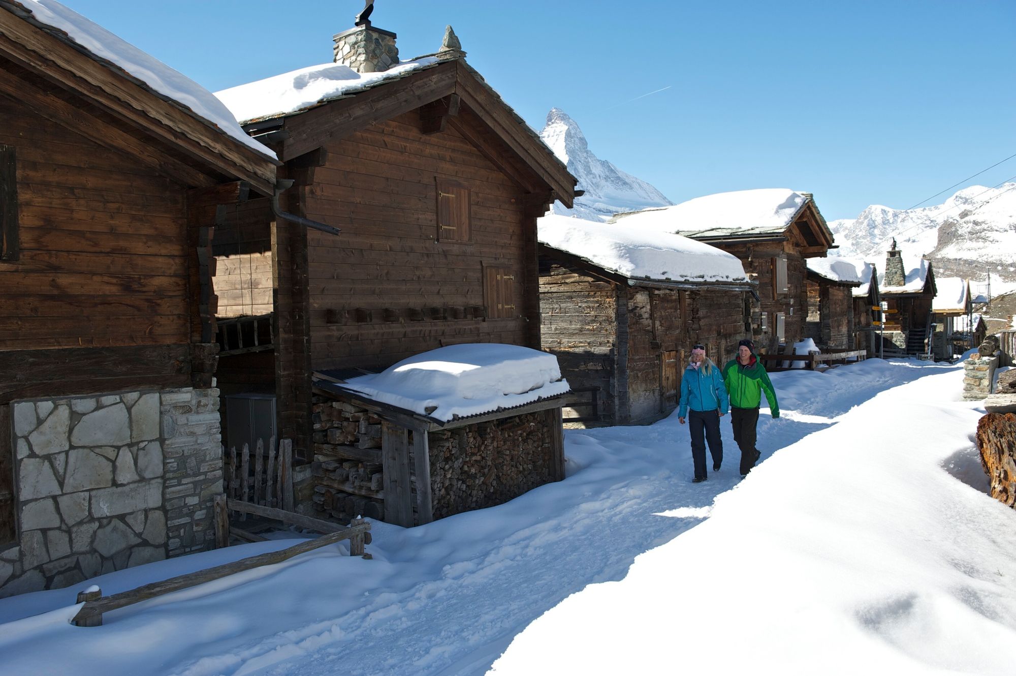
Climbing from the centre of the village of Zermatt up into the mountain sunshine, under one’s own steam - that’s the essence of this bracing hike. After the romantic, snow-blanketed forest, you are greeted with glorious views at Sunnegga.
- Difficulty
-
medium
- Rating
-
- Starting point
-
Zermatt (1,620 m)
- Route
-
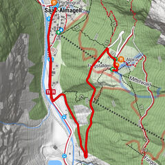
Zermatt (1,608 m)0.4 kmZe Gassen (2,051 m)5.9 kmEggen (2,177 m)6.5 kmSunnegga Paradise (1,604 m)7.0 kmSunnegga (2,288 m)7.0 km
- Best season
-
AugSepOctNovDecJanFebMarAprMayJunJul
- Description
-
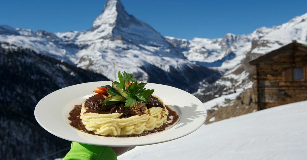
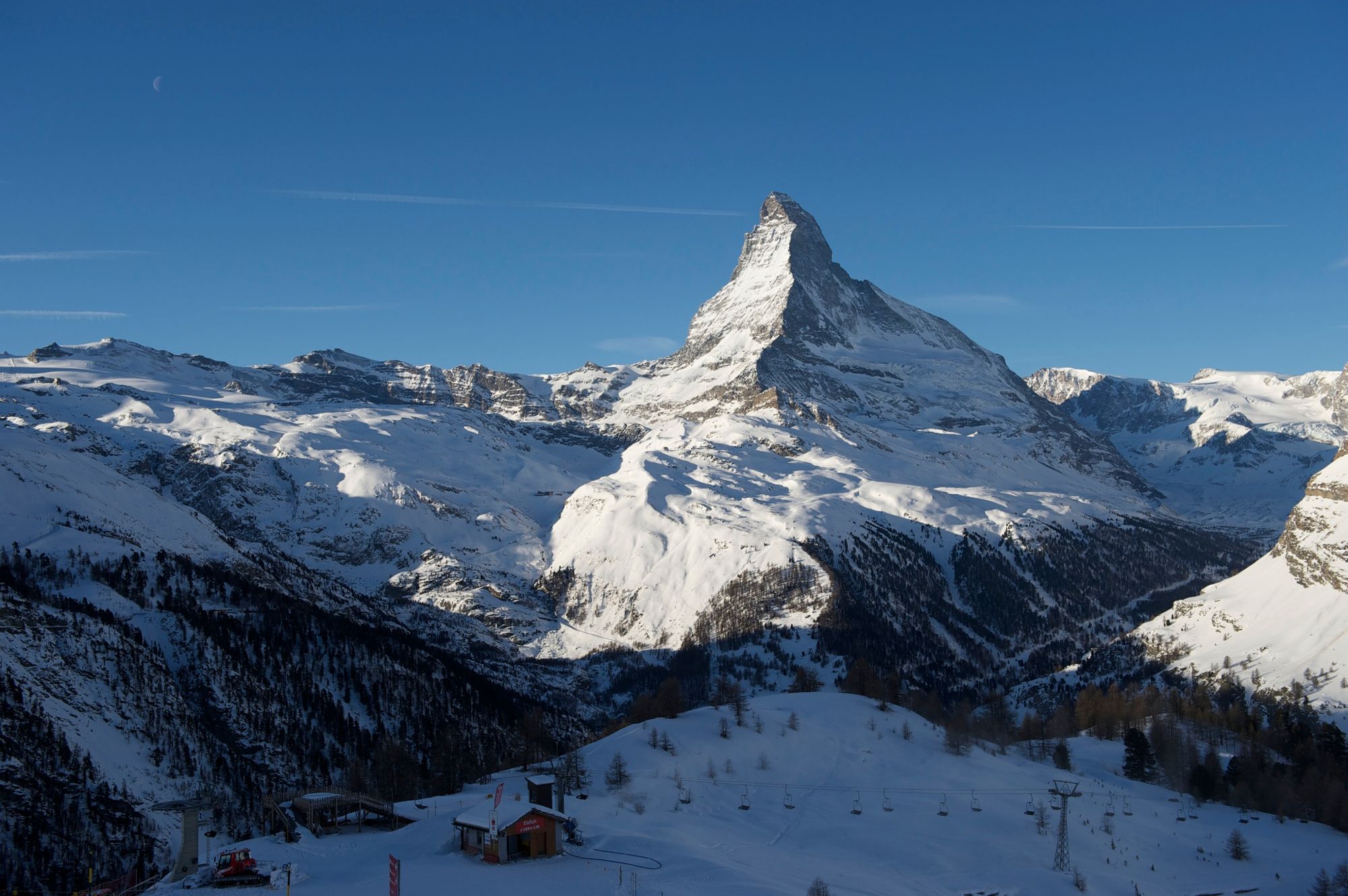
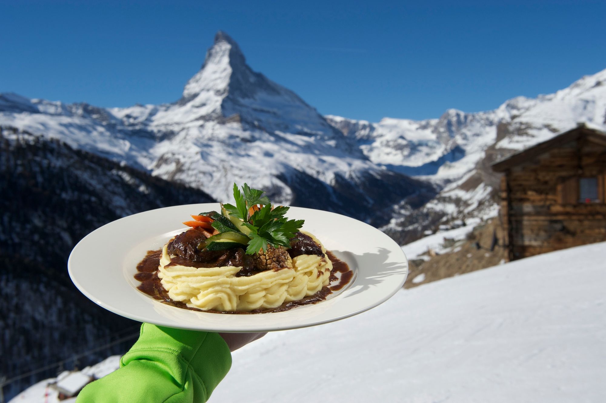
The Swiss pines are heavily laden with snow; a winter breeze whispers through the bare branches of the larches. The snow crunches underfoot as the trail winds gently from Zermatt up to the heights. A longer, flat stretch reveals occasional views through the snow-covered trees of the Matterhorn and the village. In Findeln, numerous restaurants offer a wide range of gastronomic treats. Depending on time of day, the Tiefenmatten area can be cold and shady, while Sunnegga basks in sunshine.
Please observe the signs, as the path may be closed due to various winter hazards. - Directions
-
Zermatt (station) - Tiefenmatten - Oberer Höhenweg - Findeln - Sunnegga
(Hiking time in reverse direction: approx. 2h 15)
- Highest point
- 2,267 m
- Endpoint
-
Sunnegga (2,288 m)
- Height profile
-
 © outdooractive.com
 - Equipment
-
We recommend:
Good footwear Hiking poles (optional) Warm winter clothing appropriate for the weather - Safety instructions
-
Plan every mountain tour carefully and adapt to participants’ fitness level as well as the weather and season. Weather conditions can change quickly in the mountains. Appropriate clothing is therefore essential, along with adequate supplies of food and water. In uncertain weather, turn back in good time. Inform others of planned route, and whenever possible avoid going alone. Do not leave the marked routes; do not venture onto glaciers without a mountain guide. It is forbidden to walk on the ski pistes. Please be considerate to other walkers and to plants and animals.
Tip: “Be searchable”. Equip yourself with an additional RECCO rescue reflector*. Whether summer or winter. Available in our Online-Shop or our information desk.
*The additional reflector does not replace an avalanche beacon. - Tips
-
Just before you turn onto the path heading to Findeln, you pass along a section of the trail close to the cliff face secured by ropes and a handrail. Be brave; the view is worth it.
- Directions
-
Zermatt is car-free. Private vehicles are permitted only as far as Täsch (5 km before Zermatt). The Täsch–Zermatt road is closed to the public.
Onward travel to Zermatt is either by private taxi or shuttle train. Trains depart every 20 minutes; the journey takes about 12 minutes, and ends at the Bahnhofplatz in Zermatt. - Public transportation
-
By train to the Matterhorn village: 3½ hours from Zürich airport or 4 hours from Geneva airport. Change at Visp onto the Matterhorn Gotthard Bahn (Matterhorn Gotthard Railway). From Visp, the railway leads through the Mattertal valley past idyllic small villages to Zermatt.
Zermatt is also the start and finish point for the world-famous Glacier Express panoramic train journey (Zermatt to St. Moritz or Davos). - Parking
-
Täsch has car parks with both covered and open-air parking – e.g. at the Matterhorn Terminal or privately operated facilities.
Onward travel: see “Getting there”.
- Author
-
The tour Zermatt-Sunnegga (via Tiefenmatten) (Nr. 115) is used by outdooractive.com provided.


General info
-
Oberwallis
303
-
Mattertal
89
-
Zermatt
28