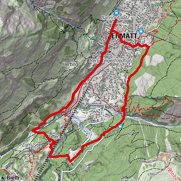

- Brief description
-
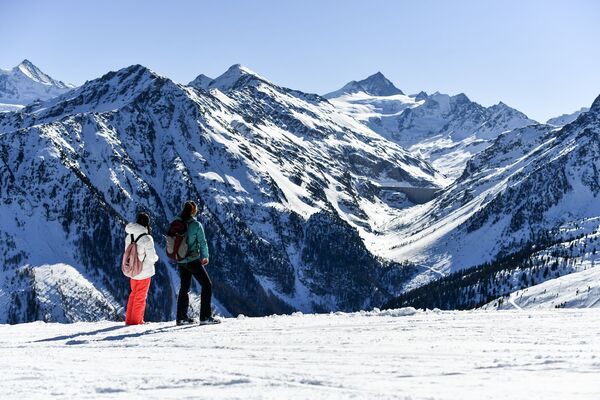
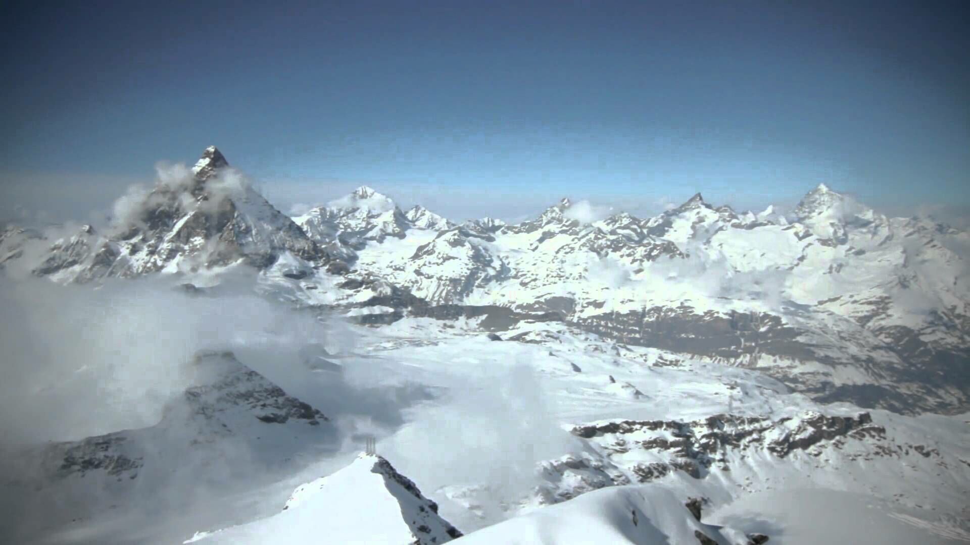
A chapel, beautiful bridges and an enchanted winter forest like no other: the Zermatt Circular Trail offers this and more.
- Difficulty
-
medium
- Rating
-
- Starting point
-
Zermatt (1,620 m)
- Route
-
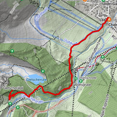
Kirche St. Mauritius0.4 kmBlatten2.4 kmFindelbach (1,770 m)4.2 kmZermatt (1,608 m)6.1 km
- Best season
-
AugSepOctNovDecJanFebMarAprMayJunJul
- Description
-
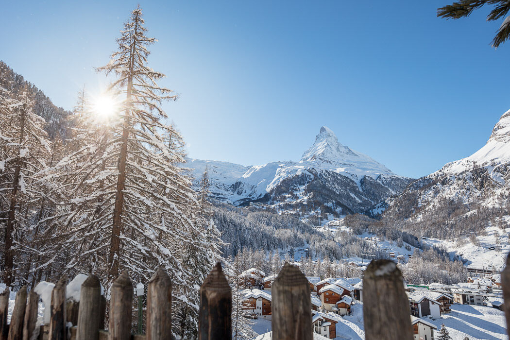
From the train station, one walks to the far part of the village and then up to the hamlet of Blatten, where there is a wonderful view of a chapel waiting. Between Blatten and Moos, one crosses a wooden bridge before arriving at the enchanted winter forest near Moos.
A highlight of the circular trail is the crossing of the Findelbach Bridge. This spectacular bridge is 93 metres long and about 50 metres above the Findelbach.
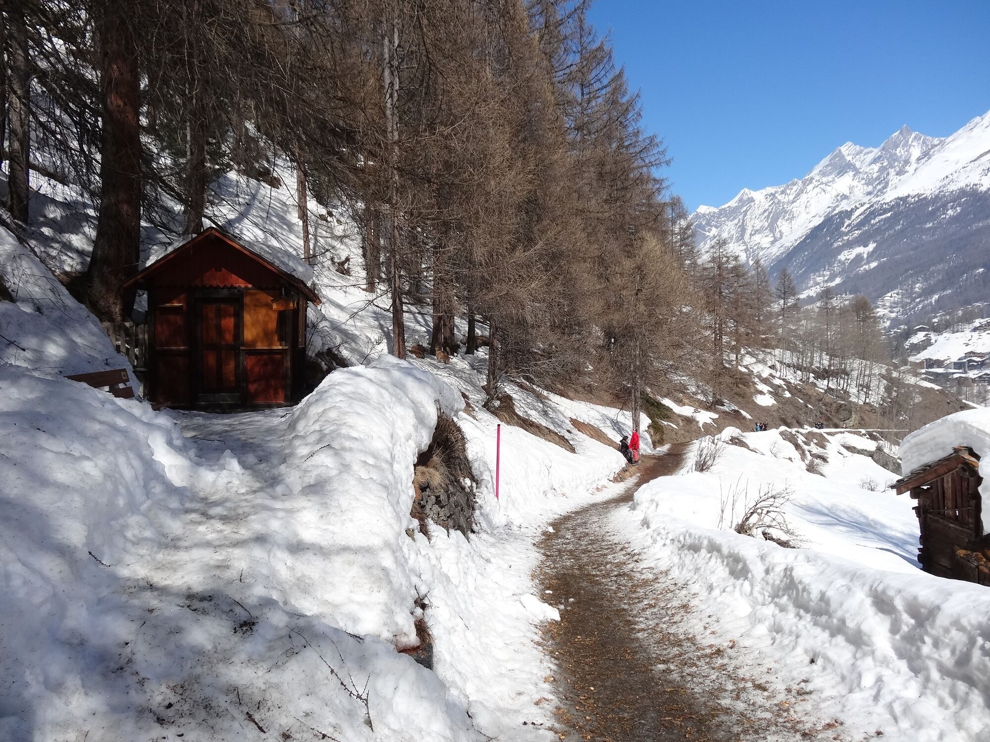
The last section of the hike also passes through the forest again. The level AHV trail goes to Zermatt and back to the Bahnhof through the village.
Suitable for children over 6 years old Baroque Maria Rosenkranzkönigin Chapel at Blatten Findelbach Bridge – one of the most popular photo opportunities around Zermatt - Directions
-
Zermatt (train station) – Blatten – Moos – Findelbachbrücke – AHV Weg - Zermatt (train station)
(Hiking time in reverse direction: approx. 2h)
This hike is marked on the signposts as “Rundweg Zermatt”.
- Highest point
- 1,755 m
- Endpoint
-
Zermatt (1,620 m)
- Height profile
-
 © outdooractive.com
 - Equipment
-
We recommend:
Good footwear Hiking poles (optional) Warm winter clothing appropriate for the weather - Safety instructions
-
Plan every mountain tour carefully and adapt to participants’ fitness level as well as the weather and season. Weather conditions can change quickly in the mountains. Appropriate clothing is therefore essential, along with adequate supplies of food and water. In uncertain weather, turn back in good time. Inform others of planned route, and whenever possible avoid going alone. Do not leave the marked routes; do not venture onto glaciers without a mountain guide. It is forbidden to walk on the ski pistes. Please be considerate to other walkers and to plants and animals.
Tip: “Be searchable”. Equip yourself with an additional RECCO rescue reflector*. Whether summer or winter. Available in our Online-Shop or our information desk.
*The additional reflector does not replace an avalanche beacon. - Tips
-
Look down from the wooden bridge between the hamlets of Blatten and Moos and admire the impressive ice walls that often form during cold weather.
- Arrival
-
Zermatt is car-free. Private vehicles are permitted only as far as Täsch (5 km before Zermatt). The Täsch–Zermatt road is closed to the public.
Onward travel to Zermatt is either by private taxi or shuttle train. Trains depart every 20 minutes; the journey takes about 12 minutes, and ends at the Bahnhofplatz in Zermatt. - Public transportation
-
By train to the Matterhorn village: 3½ hours from Zürich airport or 4 hours from Geneva airport. Change at Visp onto the Matterhorn Gotthard Bahn (Matterhorn Gotthard Railway). From Visp, the railway leads through the Mattertal valley past idyllic small villages to Zermatt.
Zermatt is also the start and finish point for the world-famous Glacier Express panoramic train journey (Zermatt to St. Moritz or Davos). - Parking
-
Täsch has car parks with both covered and open-air parking – e.g. at the Matterhorn Terminal or privately operated facilities.
Onward travel: see “Getting there”.
- Author
-
The tour Zermatt Circular Trail (Nr. 117) is used by outdooractive.com provided.


General info
-
Oberwallis
308
-
Mattertal
89
-
Zermatt
29