


- Brief description
-
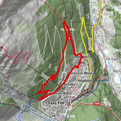
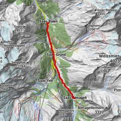
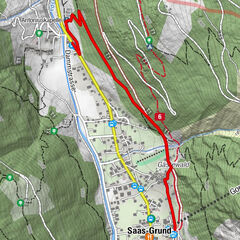
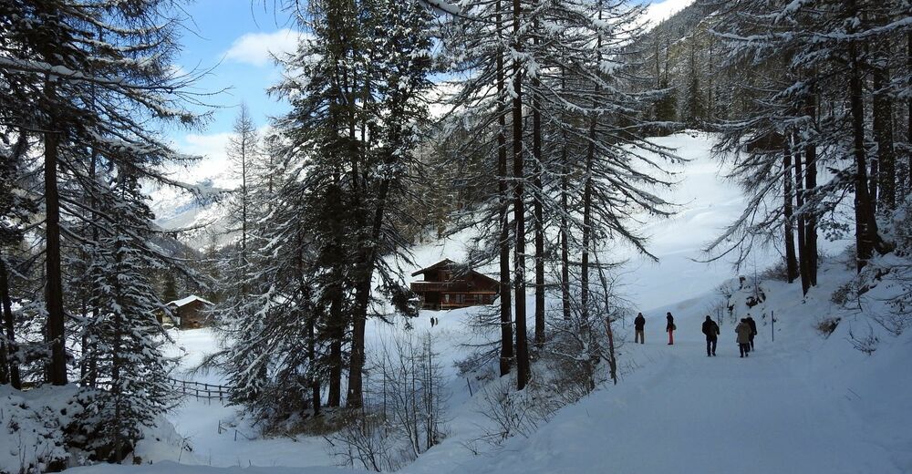
This winter hiking trail crosses the quarter at the far end of Zermatt in the direction of Furi. Along the way it leads across snow-blanketed meadows, through wintery forest and past romantic, secluded spots.
- Difficulty
-
easy
- Rating
-
- Starting point
-
Winkelmatten (1,650 m)
- Route
-
Zermatt (1,608 m)Kapelle der Heiligen Familie0.0 kmFuri (1,864 m)2.4 kmFuri (1,864 m)2.6 km
- Best season
-
AugSepOctNovDecJanFebMarAprMayJunJul
- Description
-
The trail starts in Winkelmatten, where walkers can enjoy a clear view of the Matterhorn, before leading over snowy expanses and past small hamlets and agricultural buildings. It then starts to climb into the mountains, sometimes steeply, before plunging into romantic Alpine forest.
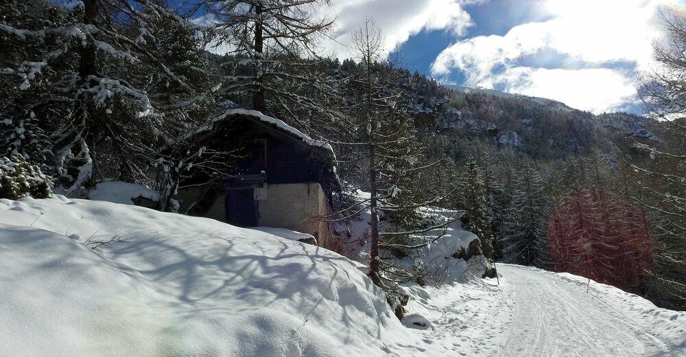
In Schweigmatten, a small barn stands on top of a big rock split in two, looking out over a wide snowy expanse. It’s like a scene from another era.
Suitable for children from age 6 Photo opportunity near Moos: stunning view of the Matterhorn Photo opportunity in Schweigmatten, near Furi: split rock with barn - Directions
-
Winkelmatten (chapel) - Moos - Furi
(Hiking time in reverse direction: approx. 45 min)
- Highest point
- 1,862 m
- Endpoint
-
Furi (1,867 m)
- Height profile
-
 © outdooractive.com
 - Equipment
-
We recommend:
Good footwear Hiking poles (optional) Warm winter clothing appropriate for the weather - Safety instructions
-
Plan every mountain tour carefully and adapt to participants’ fitness level as well as the weather and season. Weather conditions can change quickly in the mountains. Appropriate clothing is therefore essential, along with adequate supplies of food and water. In uncertain weather, turn back in good time. Inform others of planned route, and whenever possible avoid going alone. Do not leave the marked routes; do not venture onto glaciers without a mountain guide. It is forbidden to walk on the ski pistes. Please be considerate to other walkers and to plants and animals.
Tip: “Be searchable”. Equip yourself with an additional RECCO rescue reflector*. Whether summer or winter. Available in our Online-Shop or our information desk.
*The additional reflector does not replace an avalanche beacon. - Tips
-
When you take the road from the Winkelmatten quarter in the direction of Furi, you can see the snow-covered trees, deep blue sky and rising suddenly in their midst, the most famous rocky peak in the world - the Matterhorn. Don’t forget your camera!
- Directions
-
Zermatt is car-free. Private vehicles are permitted only as far as Täsch (5 km before Zermatt). The Täsch–Zermatt road is closed to the public.
Onward travel to Zermatt is either by private taxi or shuttle train. Trains depart every 20 minutes; the journey takes about 12 minutes, and ends at the Bahnhofplatz in Zermatt. - Public transportation
-
By train to the Matterhorn village: 3½ hours from Zürich airport or 4 hours from Geneva airport. Change at Visp onto the Matterhorn Gotthard Bahn (Matterhorn Gotthard Railway). From Visp, the railway leads through the Mattertal valley past idyllic small villages to Zermatt.
Zermatt is also the start and finish point for the world-famous Glacier Express panoramic train journey (Zermatt to St. Moritz or Davos). - Parking
-
Täsch has car parks with both covered and open-air parking – e.g. at the Matterhorn Terminal or privately operated facilities.
Onward travel: see “Getting there”.


- Author
-
The tour Zermatt-Furi (via Winkelmatten) (Nr. 116) is used by outdooractive.com provided.


General info
-
Unterwallis
155
-
Mattertal
88
-
Zermatt
29