
- Brief description
-
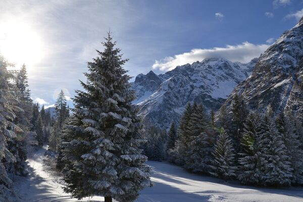
This loop allows you to discover the pretty chalets of La Fouly.
- Difficulty
-
medium
- Rating
-
- Starting point
-
At the bus stop of La Fouly
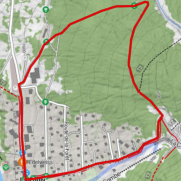
- Route
-
Edelweiss0.1 kmLa Fouly2.0 kmAuberge de la Fouly2.0 km
- Best season
-
AugSepOctNovDecJanFebMarAprMayJunJul
- Description
-
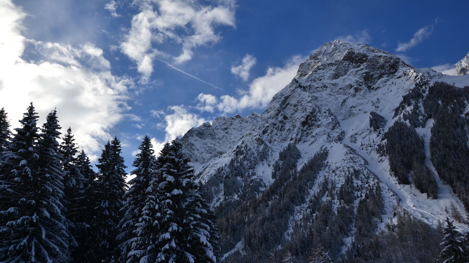
This loop leads to the pretty chalets in La Fouly by heading north to climb up into the Forêt Derrière. The path returns south to the top of the resort and then descends close to the ski area.
- Directions
-
The path starts from the bus stop in the heart of the resort.
Leave in the direction of Prayon until the Grand-Hôtel du Val Ferret.
Then take the path that goes up on your right.
After about 1 km, it comes back towards the south and the top of the resort.
Go back down the road between the ski slope and the chalets.
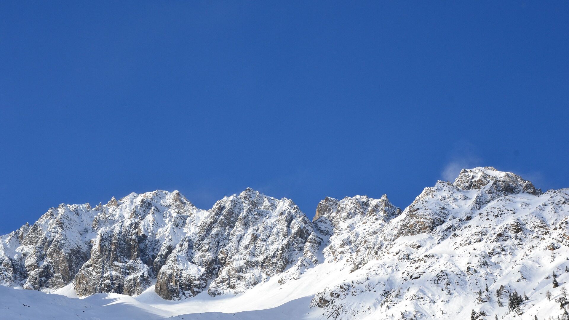
- Highest point
- 1,686 m
- Endpoint
-
At the bus stop of La Fouly
- Height profile
-
 © outdooractive.com
 - Safety instructions
- Tips
-
Check the opening of the trail at saint-bernard.ch/fr/remontees-mecaniq...
- Directions
-
Exit the motorway at Martigny.
Follow the direction Grand-Saint-Bernard then leave the main road at Orsières and follow La Fouly.
- Public transportation
- Parking
-
You can park at the bottom of the Fouly tracks which are located near the tourist office.
- Author
-
The tour Forêt Derrière is used by outdooractive.com provided.