


- Brief description
-
This hike starts in Blatten near Naters and first leads to Moos on the historic road past dry stone walls and mule troughs. From here the trail continues to Hegdorn and via Bellavista and Stahlgasse to Naters.
- Difficulty
-
medium
- Rating
-
- Starting point
-
Blatten bei Naters
- Route
-
Blatten (1,322 m)0.0 kmBlatten b. Naters (1,327 m)0.0 kmTheodulskapelle0.1 kmMehlbaum1.4 kmGeimen2.1 kmMoos3.1 kmWieri3.6 kmHegdorn4.5 kmKirche St. Mauritius6.0 kmBrig (691 m)6.0 kmNaters (673 m)6.0 km
- Best season
-
JanFebMarAprMayJunJulAugSepOctNovDec
- Description
-
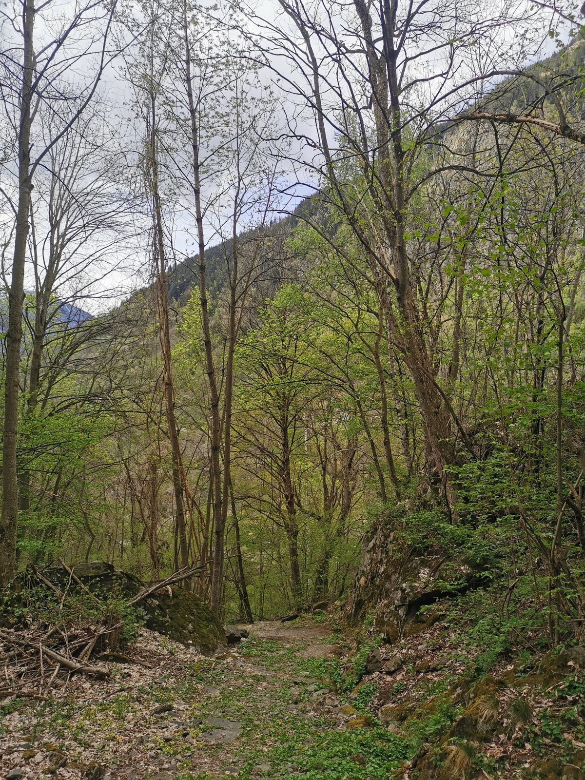
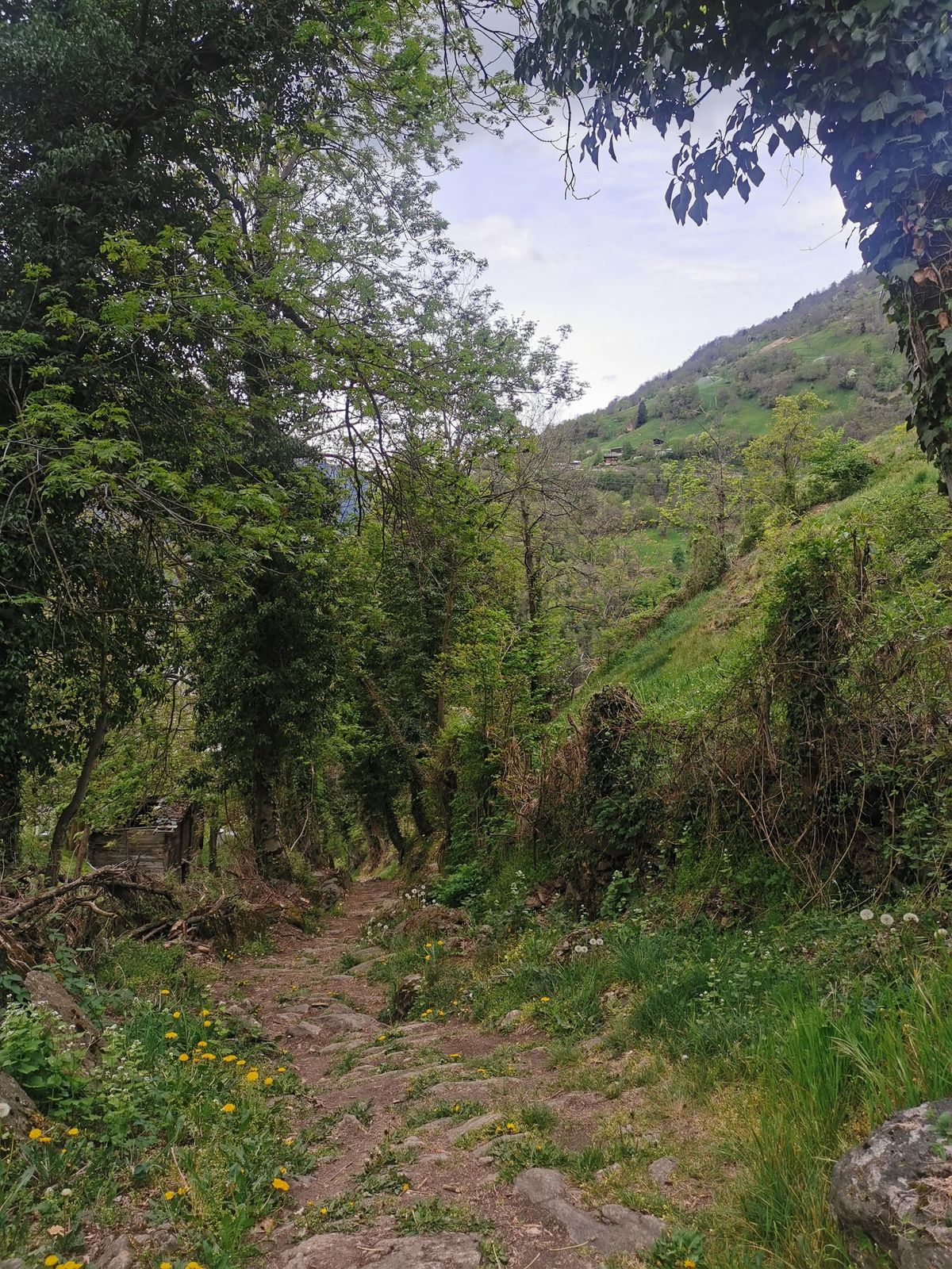
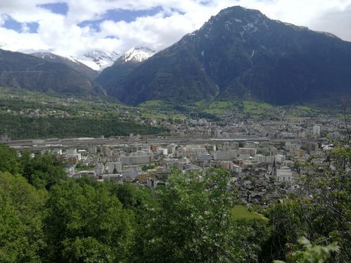
This hike between Blatten bei Naters and Naters leads along historic path connections that are recognisable as such primarily because of their structural substance.
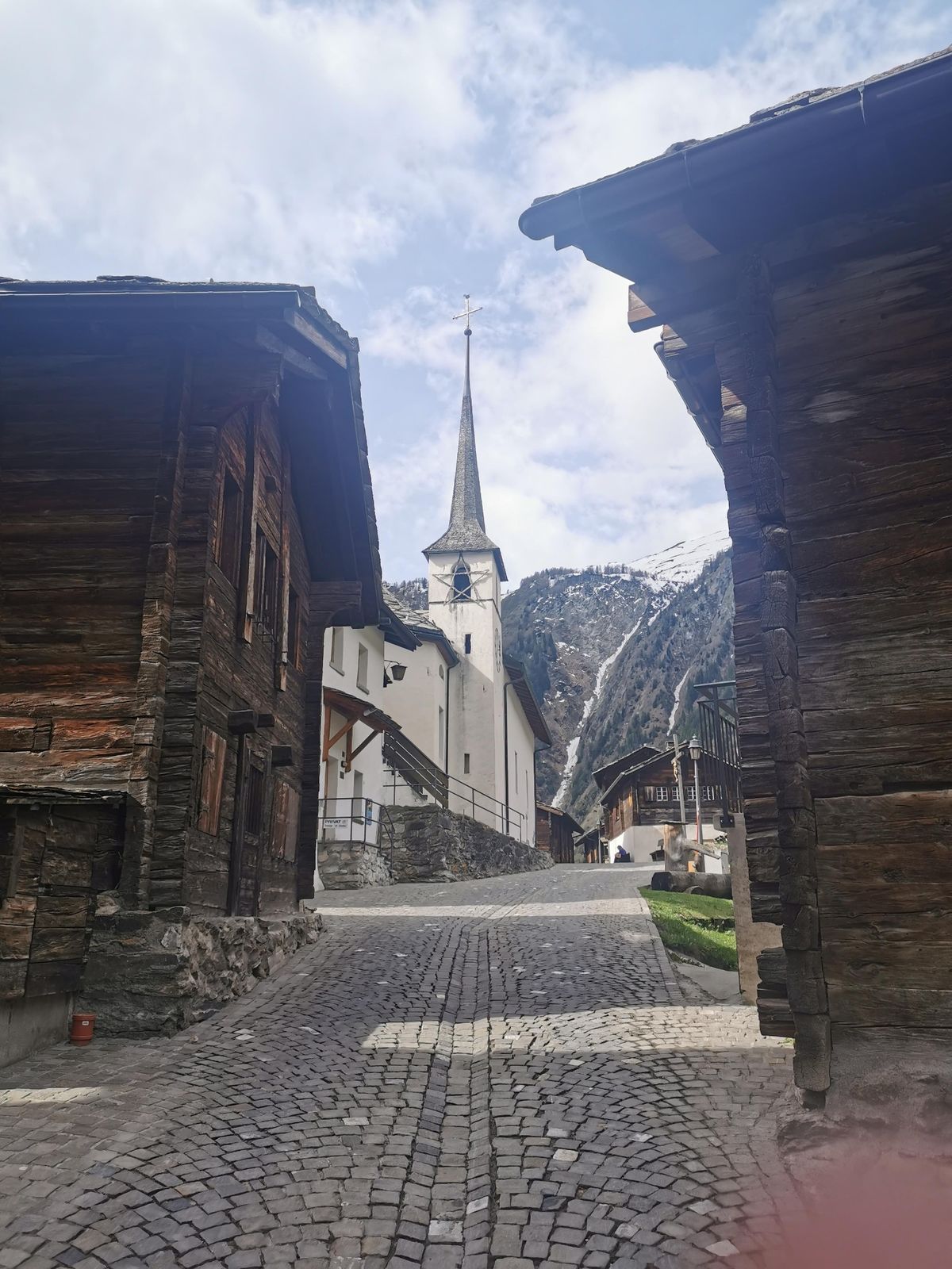
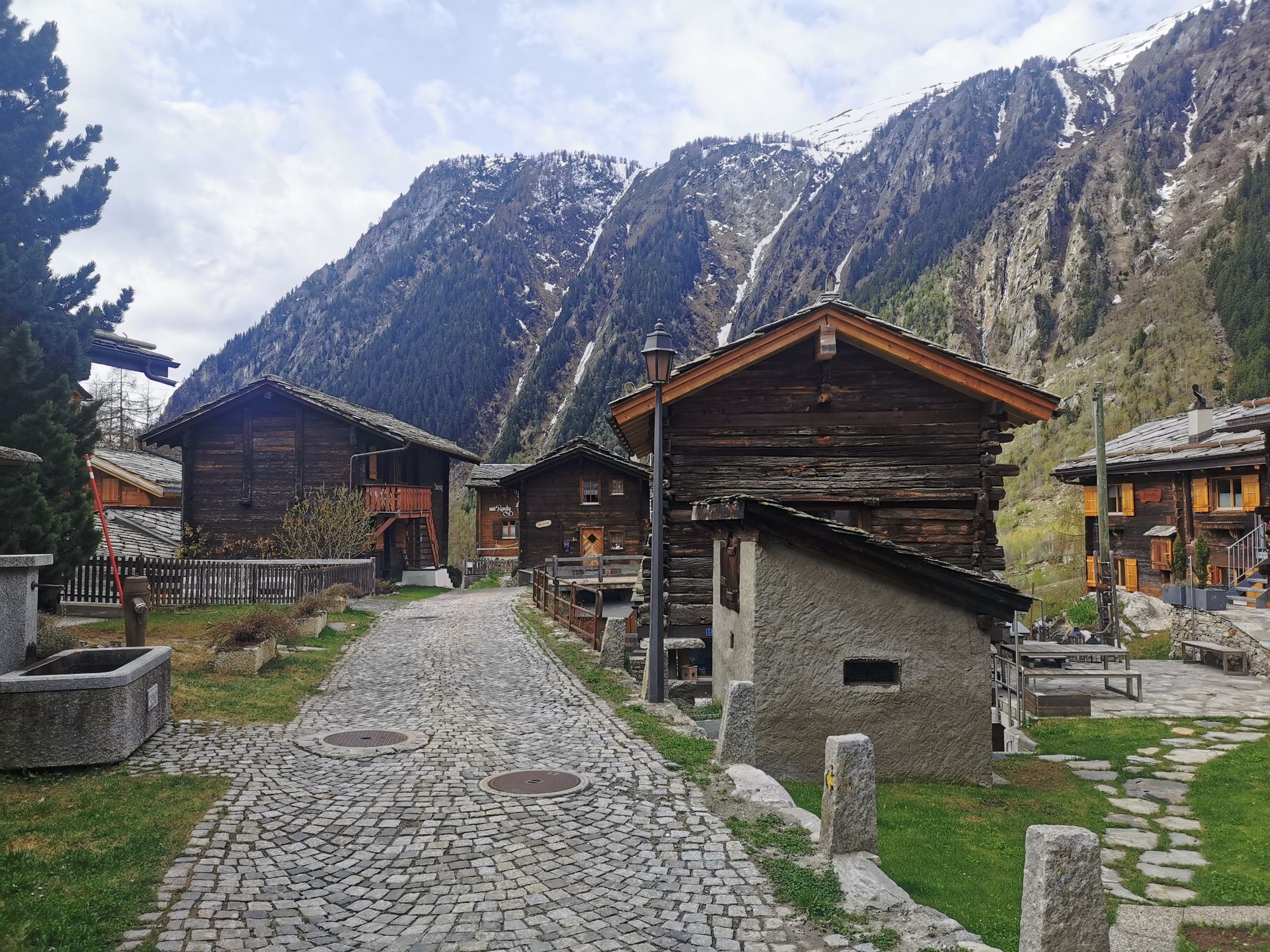
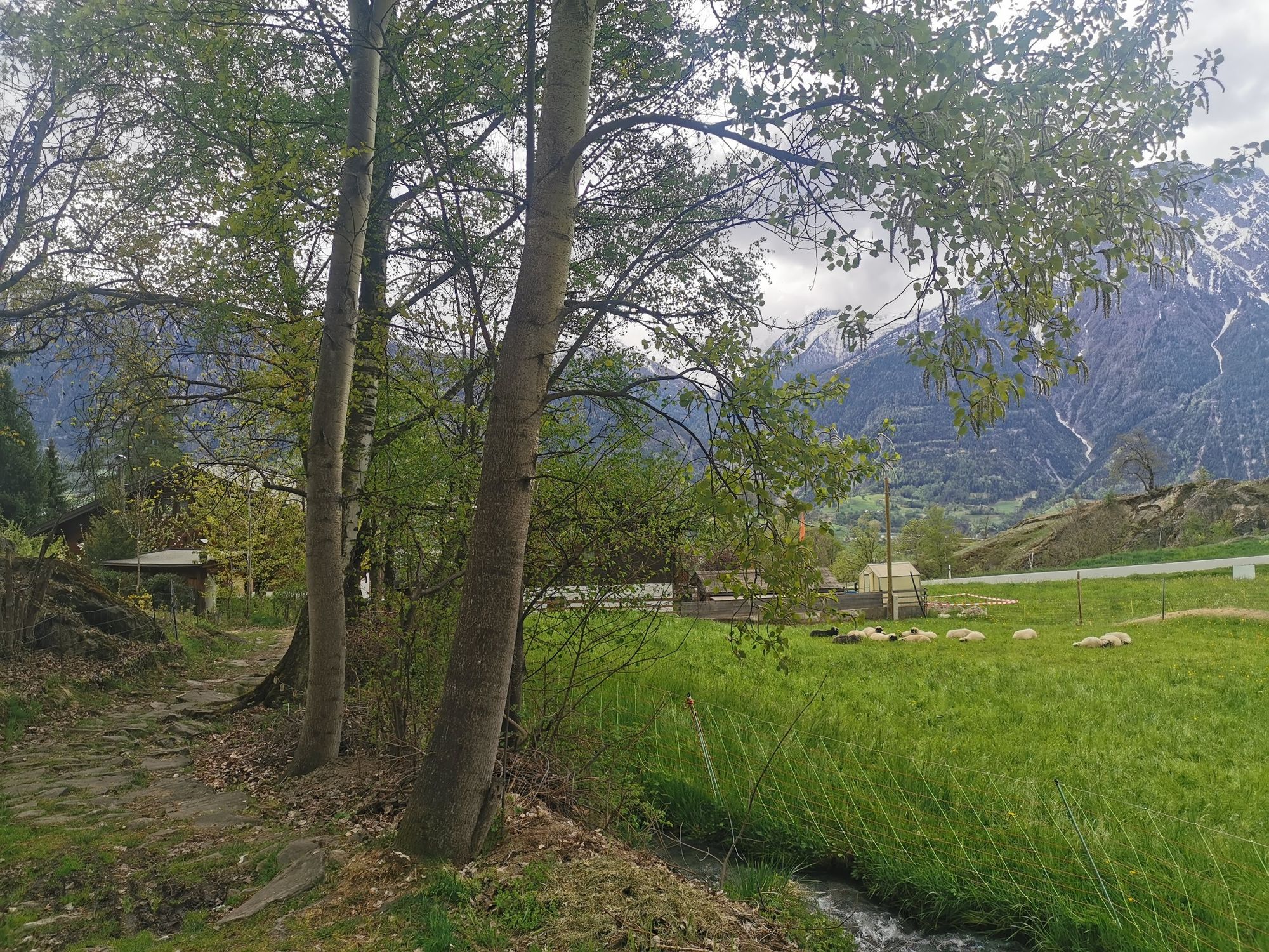
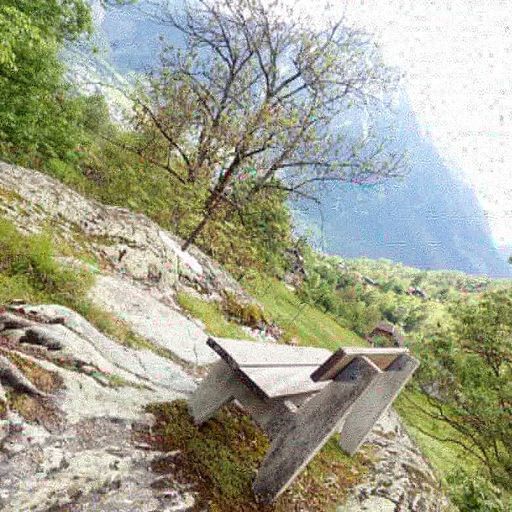
The hiking trail is embedded in the cultural landscape of the Naters mountain and is characterised by dry stone walls, free-standing path boundaries, standing stones and stone bicki (paving). In addition, it repeatedly crosses old settlements that invite you to marvel and linger.
- Directions
-
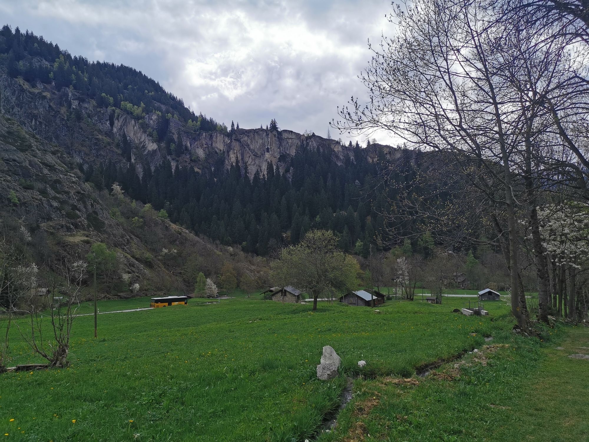
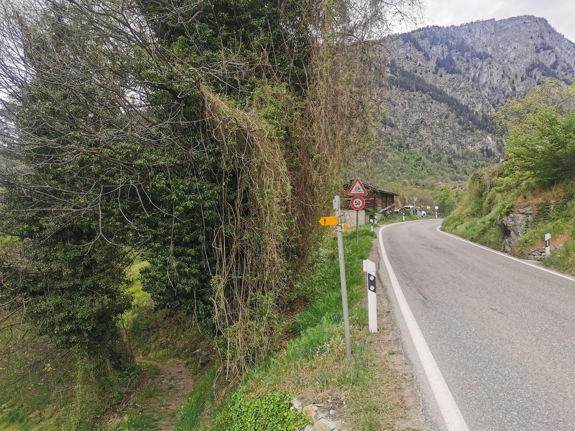
From the Blatten b. Naters cable car stop, the trail leads to the old village and along the historic path to the flour tree and Geimen. Continue in the direction of Moos. On the way, in the section between Moos and Obermoos, a mule trough carved in stone is visible on the left. In Moos, follow the road to the main road and cross it. The trail leads from here to Hegdorn and via Bellavista and Stahlgasse down to Naters.
Blatten bei Naters - Mehlbaum - Geimen - Moos - Hegdorn - Bellavista - Naters
- Highest point
- 1,328 m
- Endpoint
-
Naters
- Height profile
-
 © outdooractive.com
 - Equipment
-
Sturdy shoes, clothing suitable for the weather, sun and rain protection, as well as sufficient supplies of food and drinks, should there be no refreshment stops or shopping facilities available or open. Although the trail is very well marked throughout, you should always have a suitable hiking map with you for safety reasons. Take sticks or other aids with you.
- Safety instructions
-
Despite the "impossible to miss" marking of the hiking trails, we recommend for safety reasons to always have an appropriate hiking map with you, so that you can quickly find a safe area in case of a thunderstorm or emergency, for example.
Especially in autumn, you should also be aware that leaves lying on the ground can hide bumps, roots, stones or holes in the path. After storms, trees can still fall over or branches can fall down. Especially in adverse weather conditions, muddy and slippery passages can occur on natural paths. You have to expect this kind of path obstruction when you go on a hike.
Not all rocks or precipices are secured with ropes or railings. In some cases surefootedness is required. If you think that certain sections of the trail are not passable for you, you should avoid them.
- Tips
-
On the hike, visit the chapels in Blatten, Geimen and Hegdorn as well as the parish church in Naters.
- Additional information
- Directions
-
Arrival by car
From western Switzerland: A9 Lausanne - Vevey, or north-western Switzerland: A12 Bern - Vevey: A9 - Sierre: main road Sierre - Brig
From north-western Switzerland: A6 Berne - Thun - Spiez: main road Spiez - Kandersteg (Lötschberg tunnel car transport) - Goppenstein - Gampel - Brig
From eastern and central Switzerland: Andermatt - Realp (year-round Furka car transport; in summer via Furka Pass) - Oberwald - Brig
From Ticino (in summer): Airolo - Nufenenpass - Ulrichen - Brig
Or via Centovalli - Domodossola - Simplonpass - Brig
From Italy (Aosta, Mt. Blanc Tunnel): Aosta - Grand Saint Bernard tunnel (over the pass in summer) - Martigny: A9 motorway - Sierre: Sierre - Brig main road.
Or via Domodossola - Simplon Pass - Brig
Blatten bei Naters
From Brig you can reach Blatten bei Naters via Naters, then take the cable car to the car-free Belalp.
- Public transportation
- Parking


-

-
AuthorThe tour Blatten - Hegdorn - Stahlgasse- Naters is used by outdooractive.com provided.


General info
-
Aletsch Arena
1485
-
Brig Simplon
481
-
Blatten-Belalp
181


