- Difficulty
-
difficult
- Rating
-
- Route
-
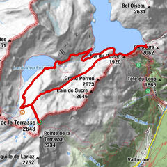
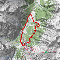
Arpalle 10.0 km
- Best season
-
JanFebMarAprMayJunJulAugSepOctNovDec
- Highest point
- 2,744 m
- Endpoint
-
Col du Basset
- Height profile
-
 © outdooractive.com

- Author
-
The tour N. 13 Col du Basset is used by outdooractive.com provided.
GPS Downloads


General info
Healthy climate
Flora
Fauna
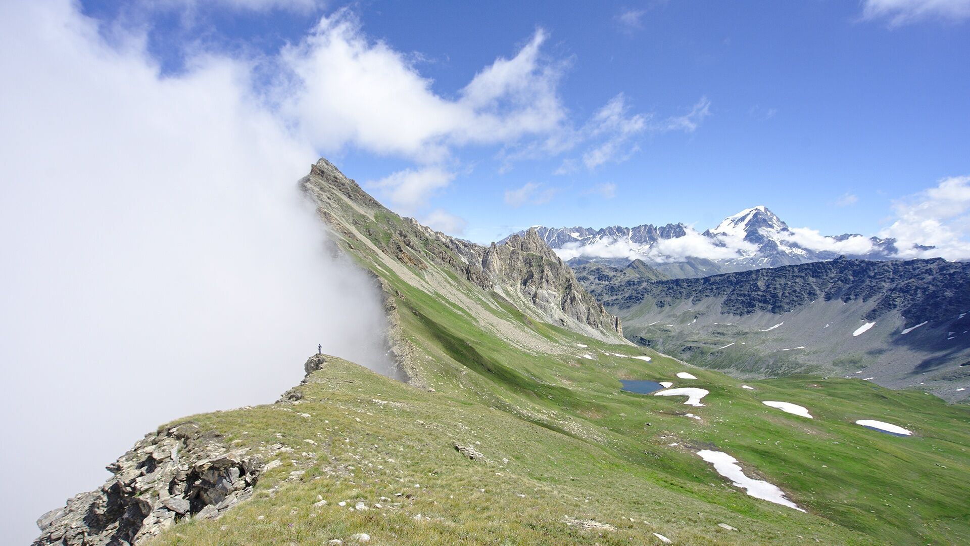
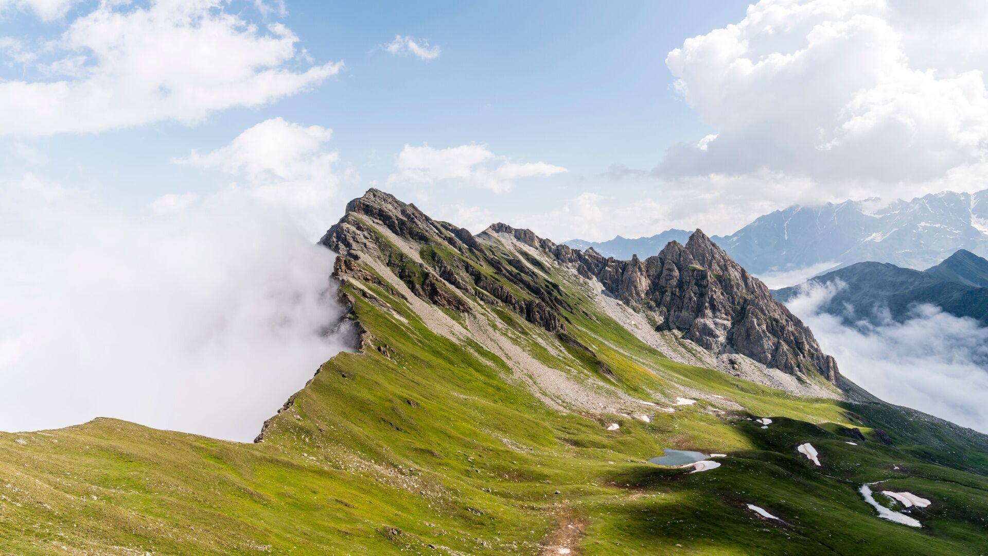
A lot of view
Other tours in the regions
-
Unterwallis
1196
-
Pays du Saint-Bernard
319
-
Val Ferret - La Fouly
109