

© Tourenplaner SCHWEIZ - Bruno Kalbermatten

© Tourenplaner SCHWEIZ - Bruno Kalbermatten

© Tourenplaner SCHWEIZ - Bruno Kalbermatten

© Tourenplaner SCHWEIZ - Bruno Kalbermatten

© Tourenplaner SCHWEIZ - Bruno Kalbermatten

© Tourenplaner SCHWEIZ - Bruno Kalbermatten

© Tourenplaner SCHWEIZ - Bruno Kalbermatten

© Tourenplaner SCHWEIZ - Bruno Kalbermatten

© Tourenplaner SCHWEIZ - Bruno Kalbermatten

© Tourenplaner SCHWEIZ - Bruno Kalbermatten

- Brief description
-
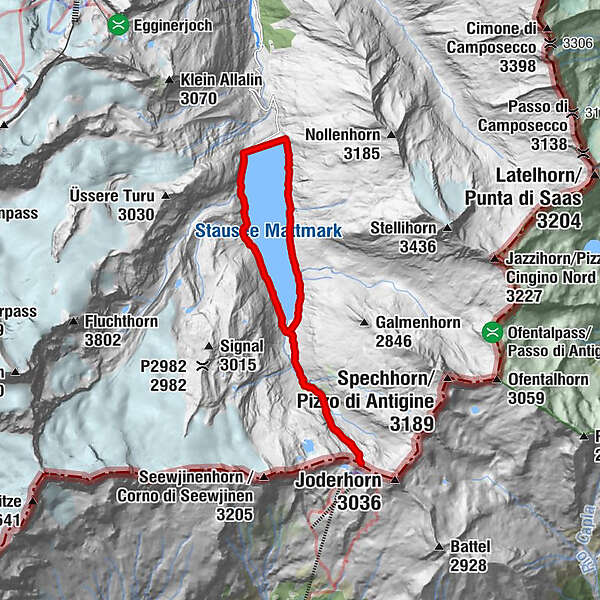
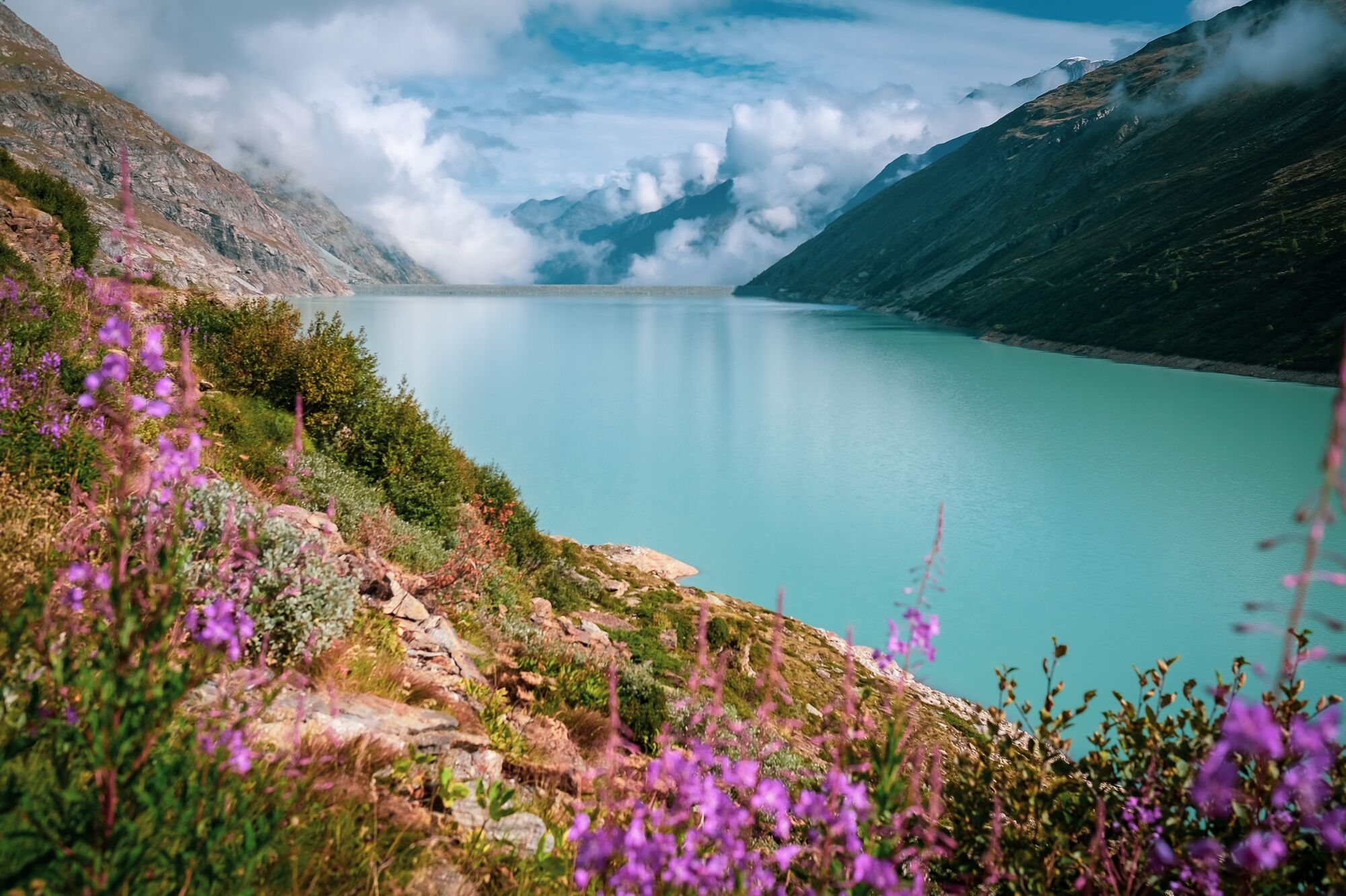
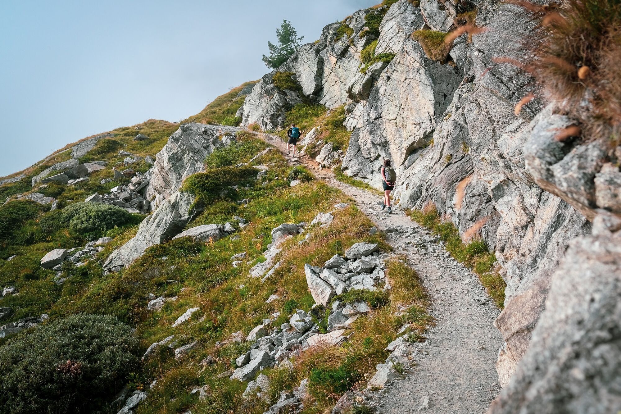
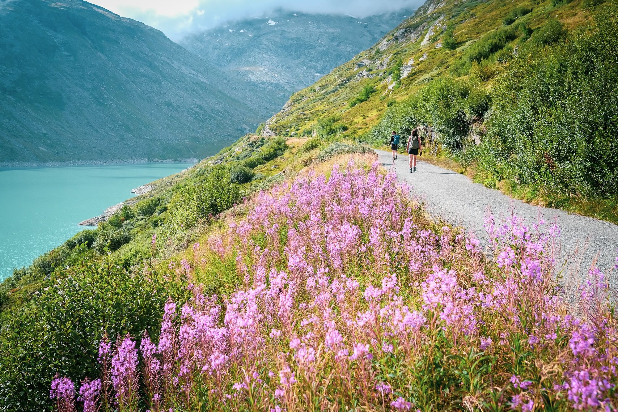
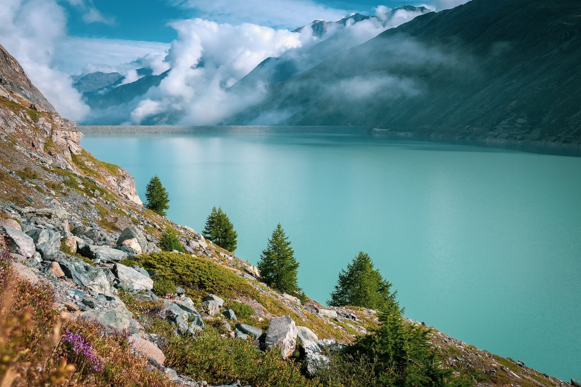
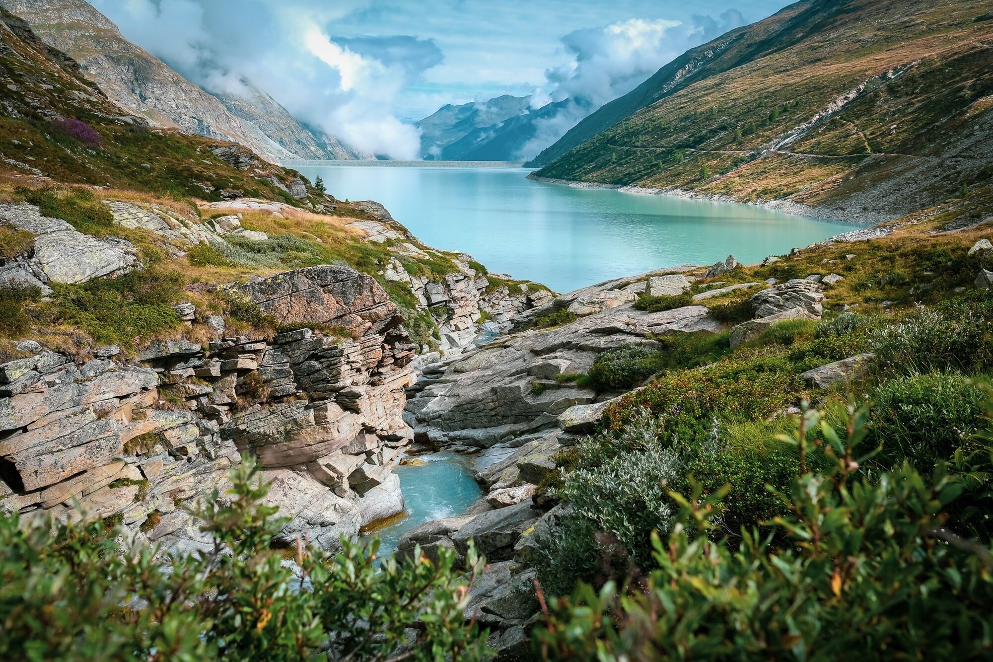
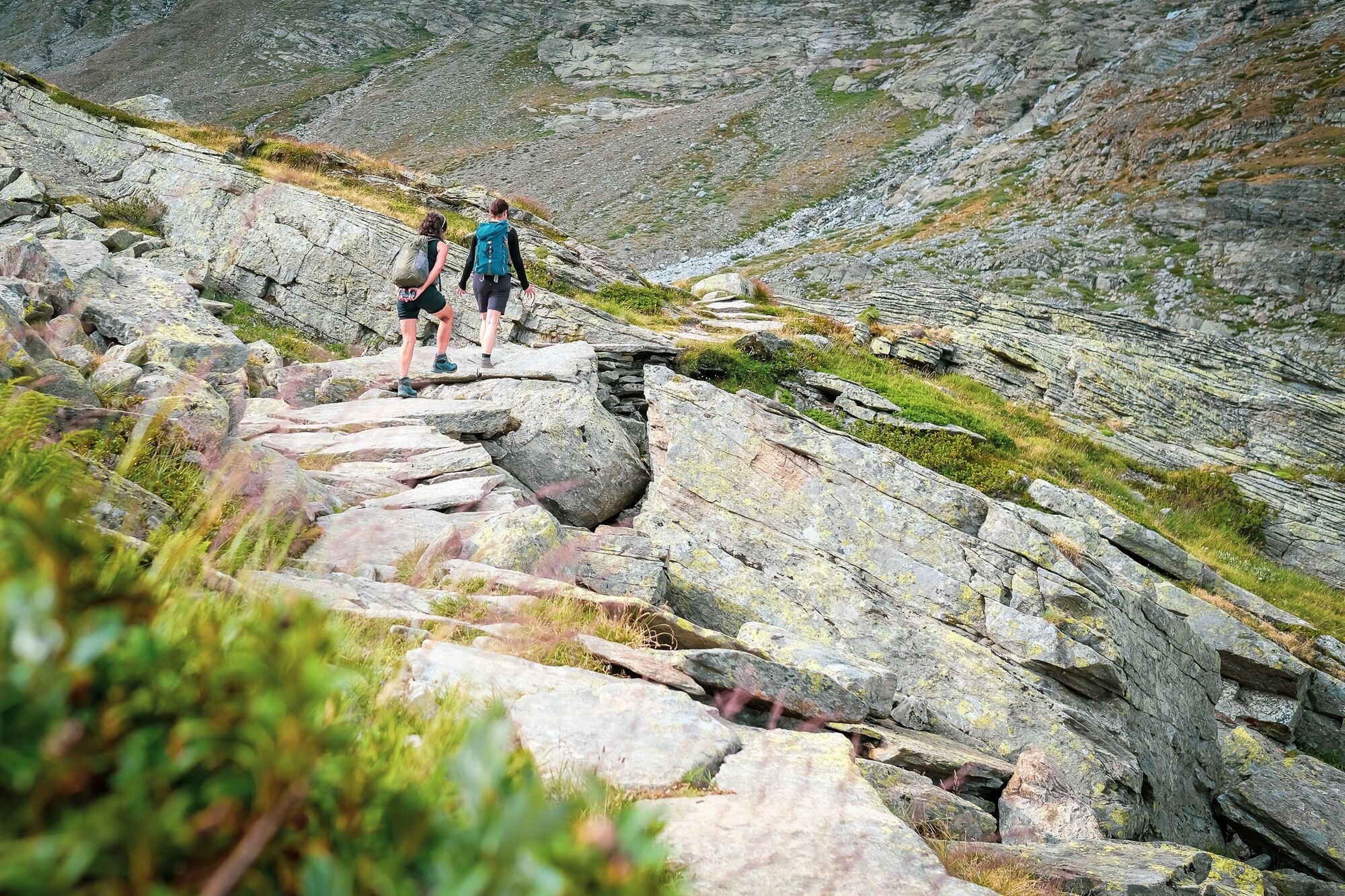
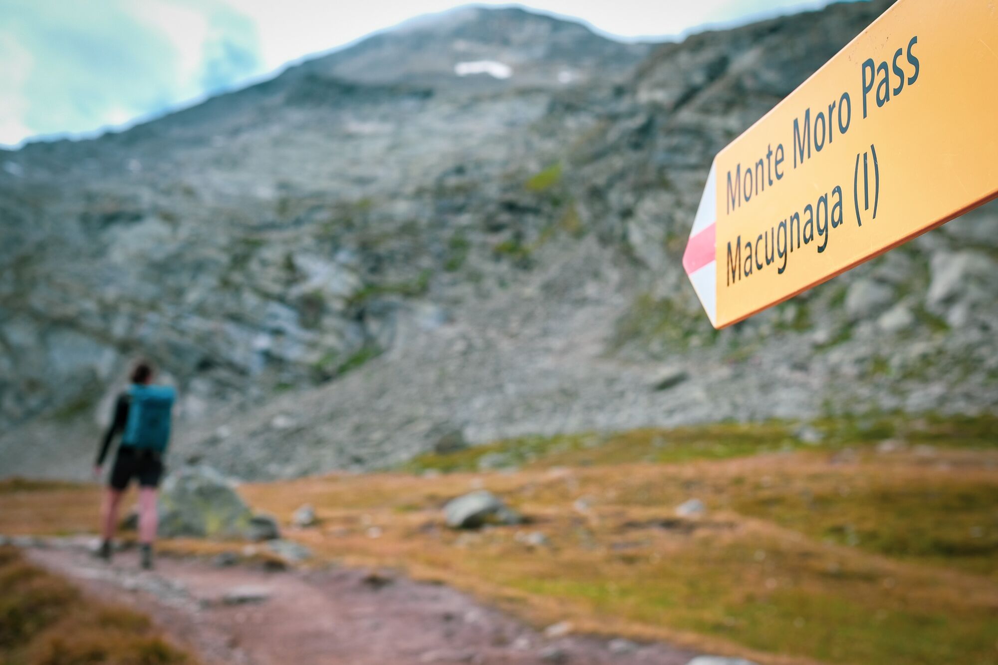
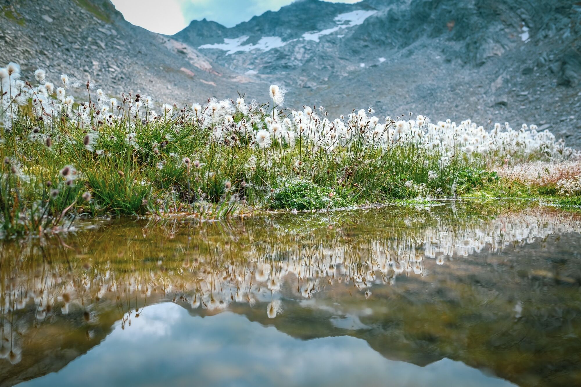
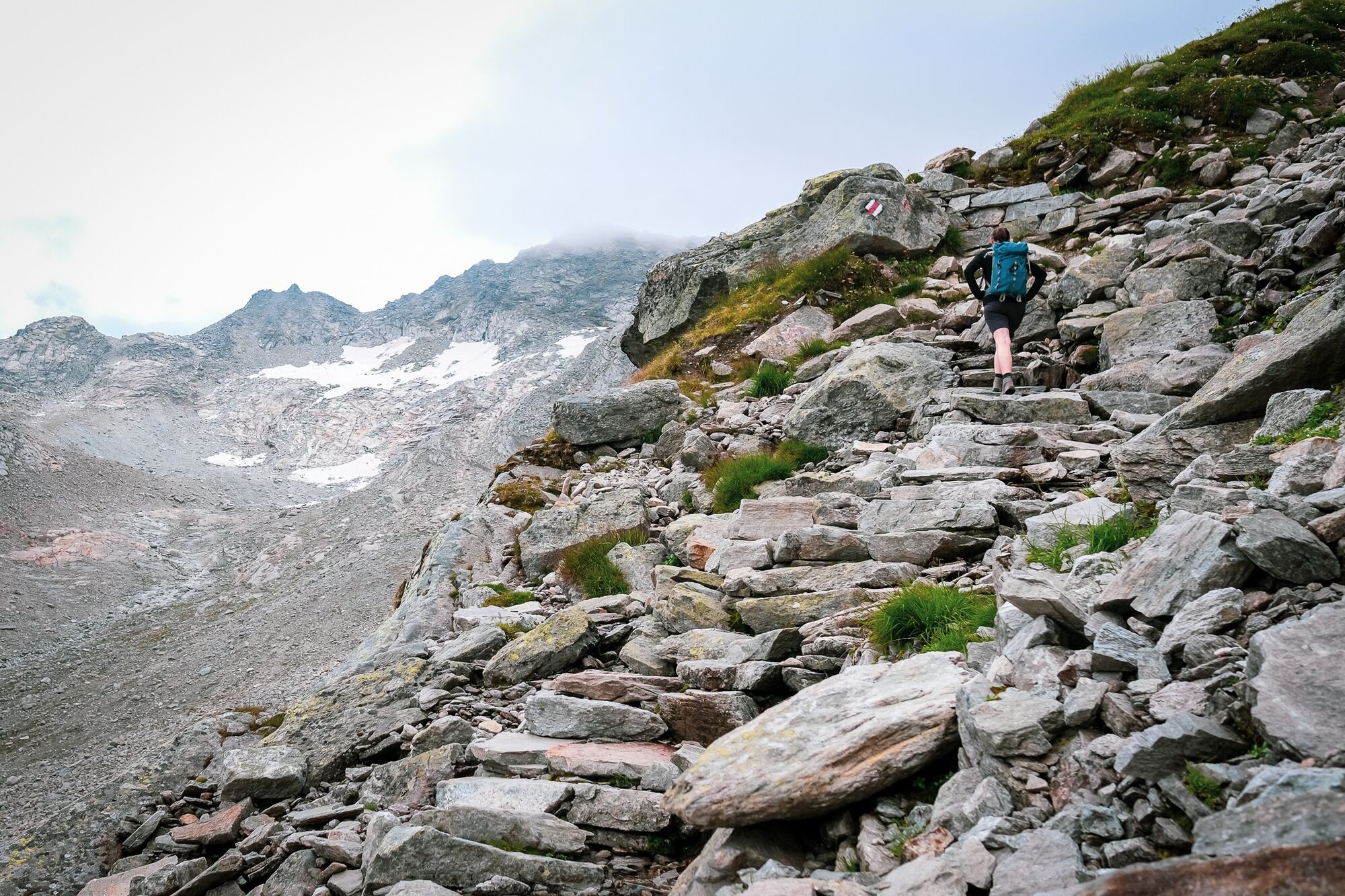
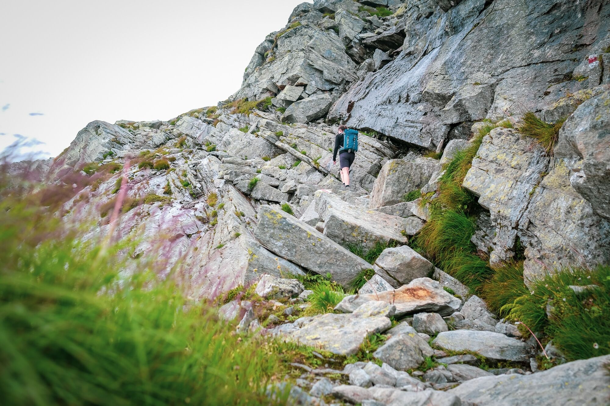
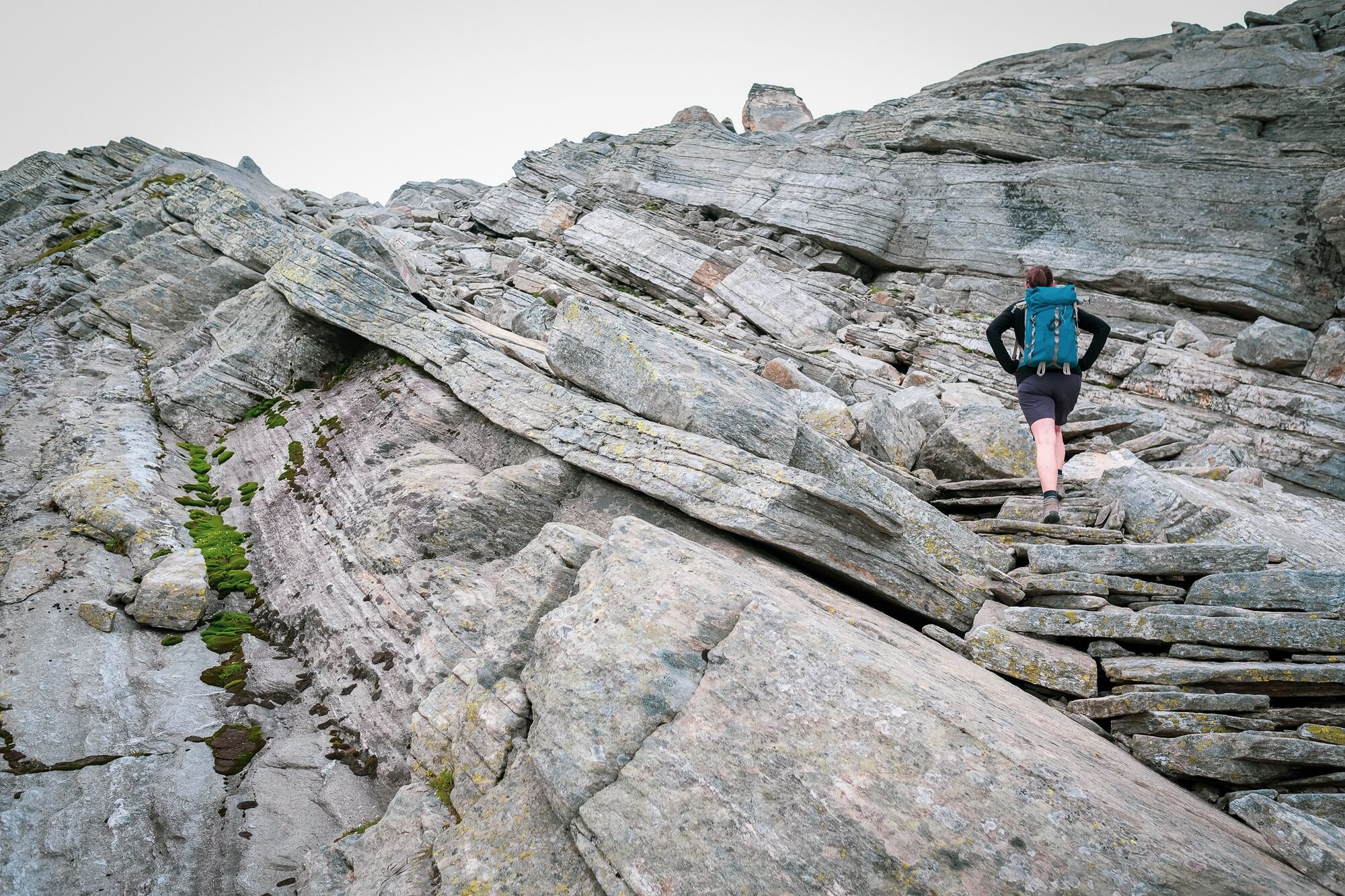
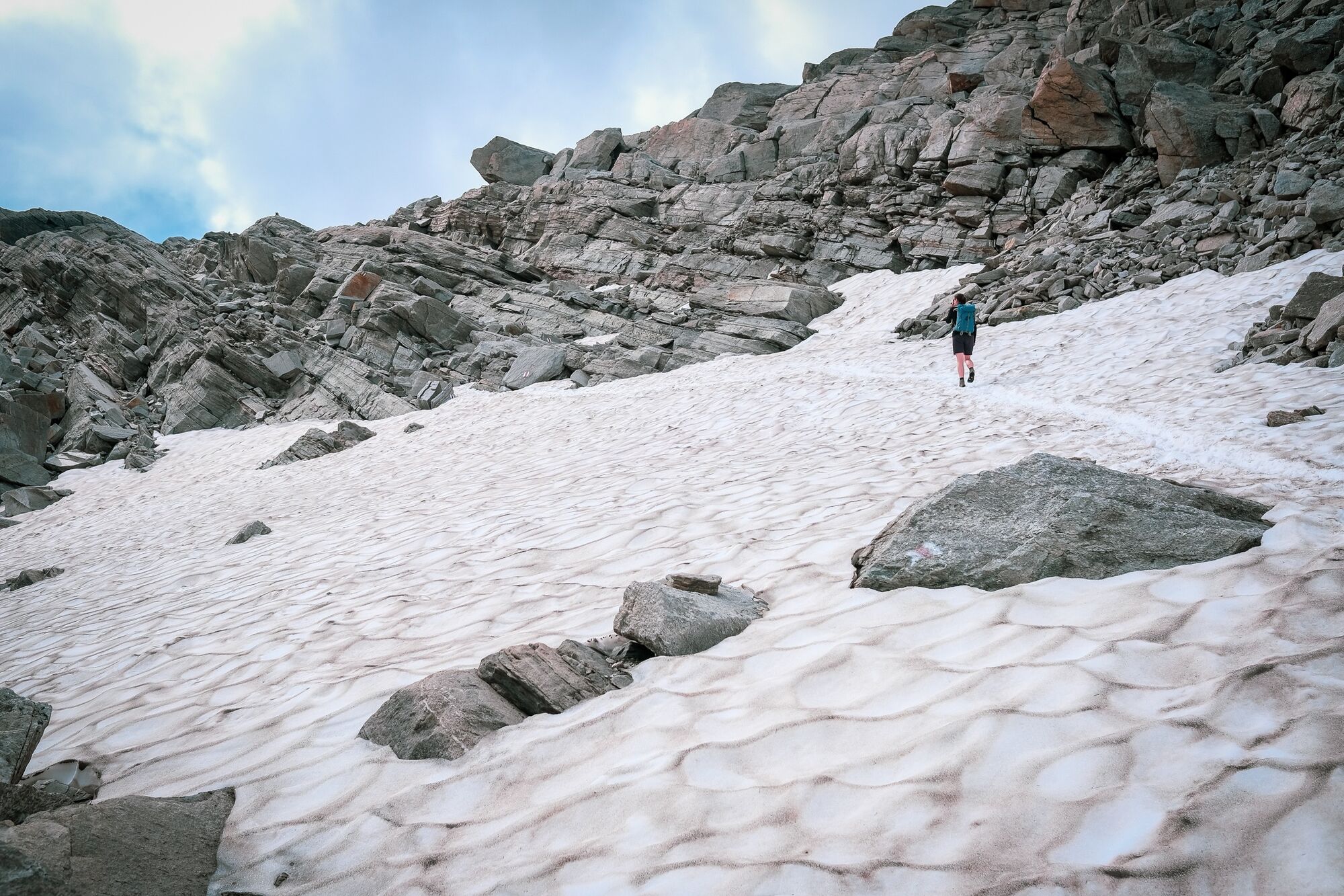
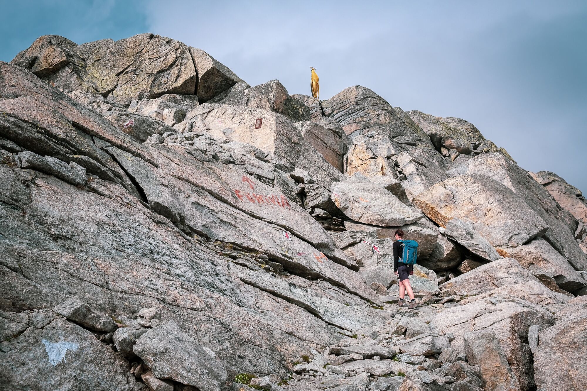
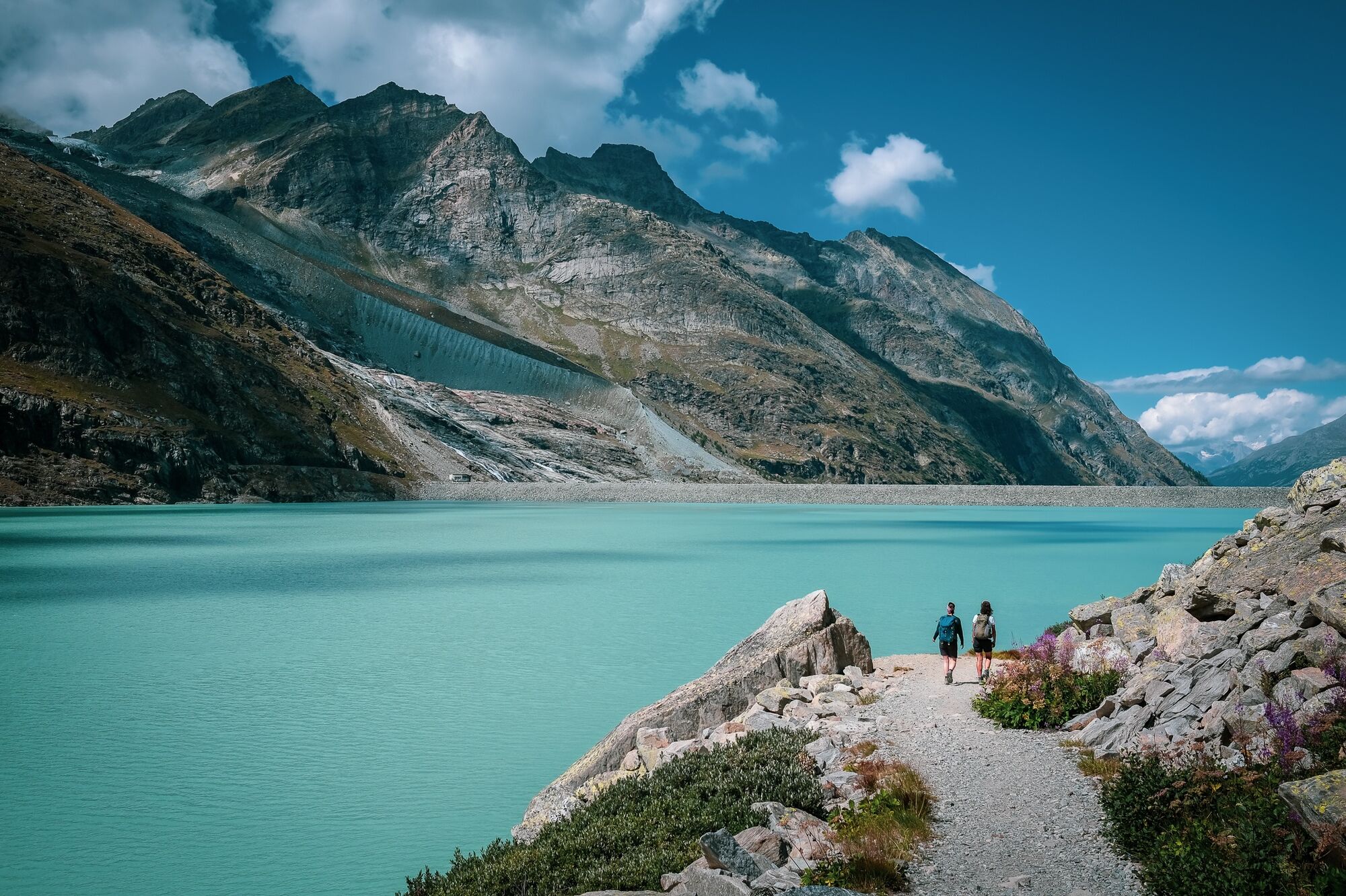
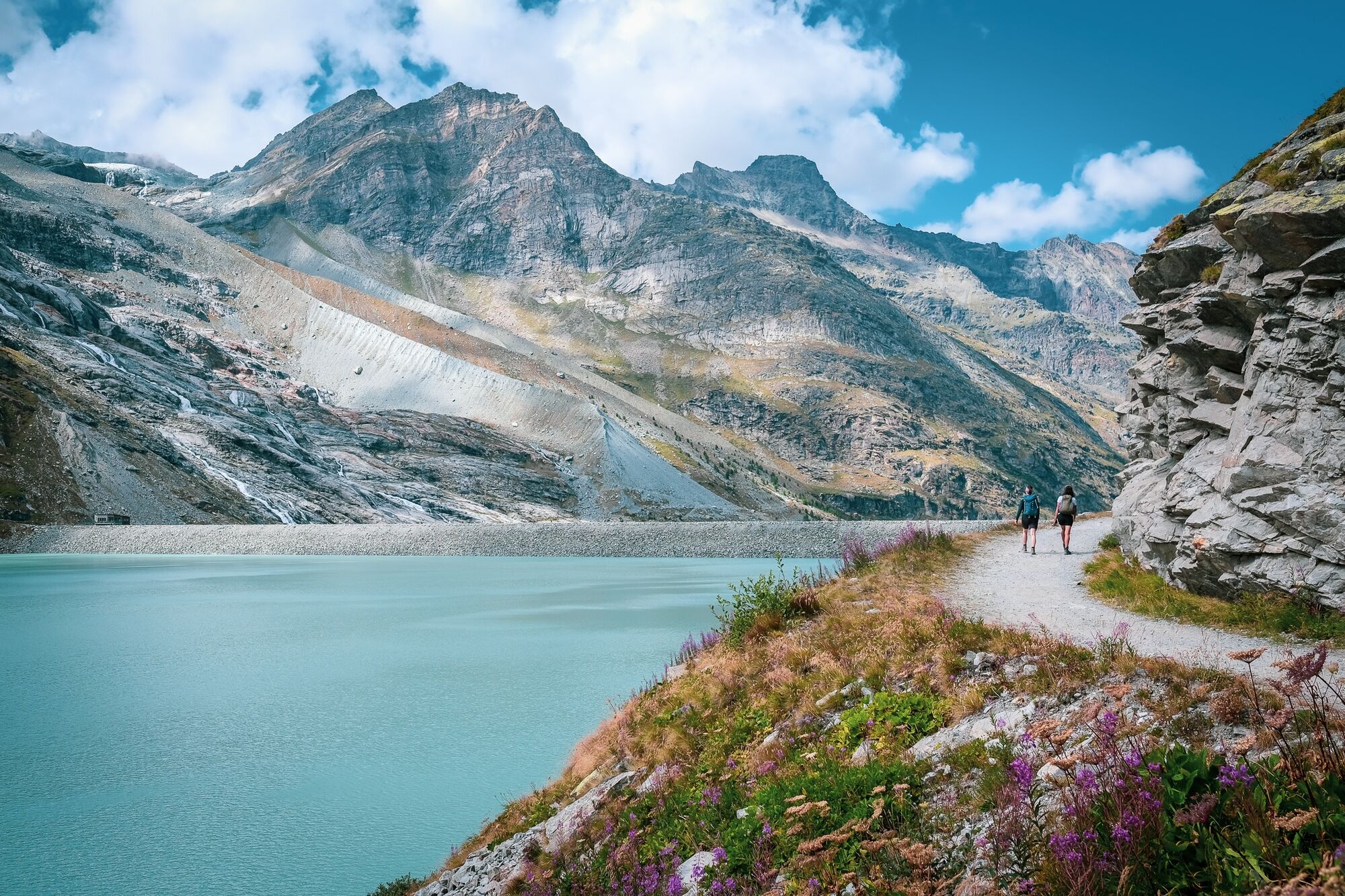
Der Weg vom Mattmark-Stausee hoch auf den Monte Moro Pass hat Geschichte. Der abwechlungsreiche Weg diente als Schmugglerpfad zwischen dem benachbarten Italien und dem Saastal.
- Difficulty
-
difficult
- Rating
-
- Best season
-
JanFebMarAprMayJunJulAugSepOctNovDec
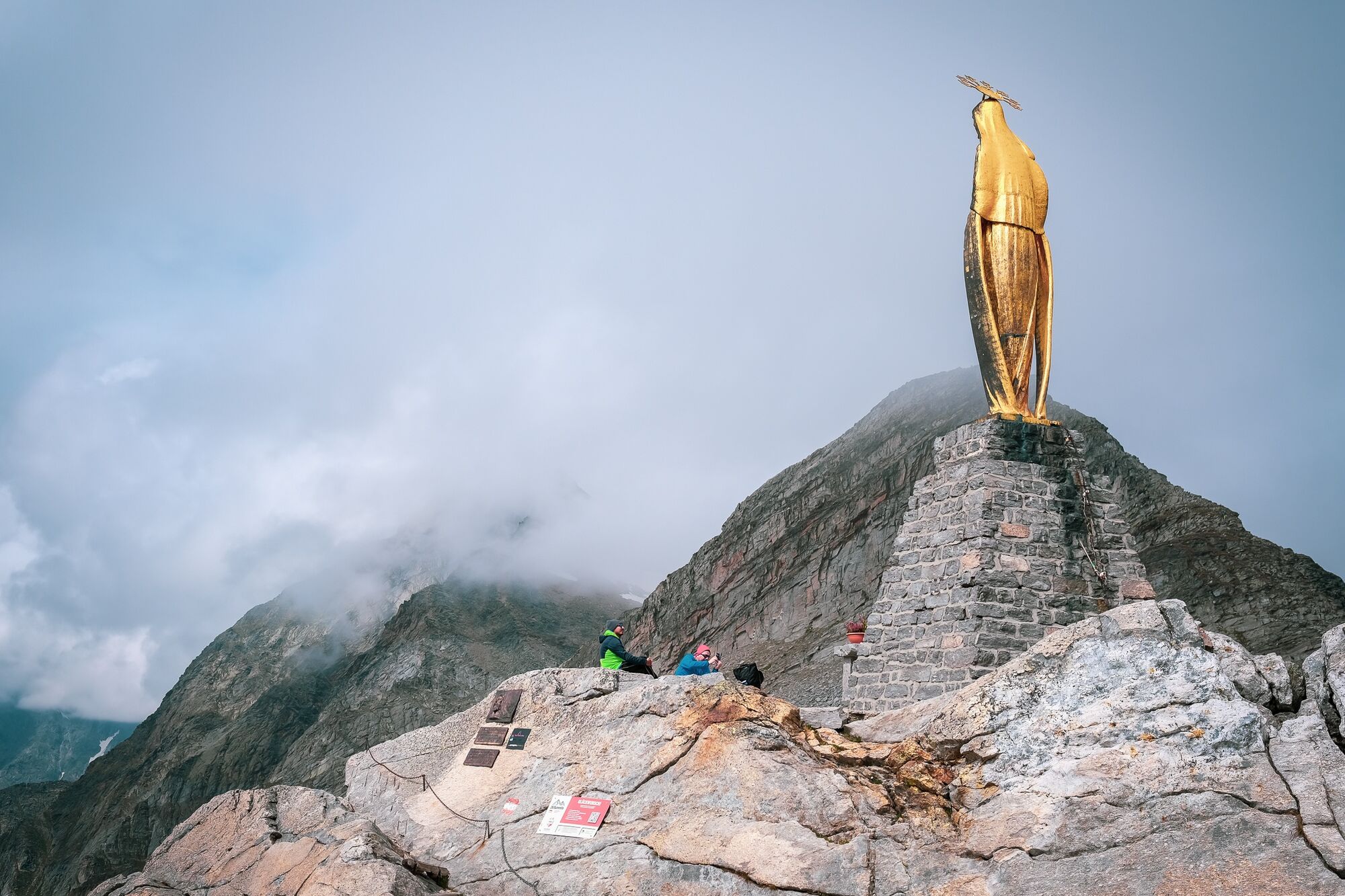
- Highest point
- 2,824 m
- Endpoint
-
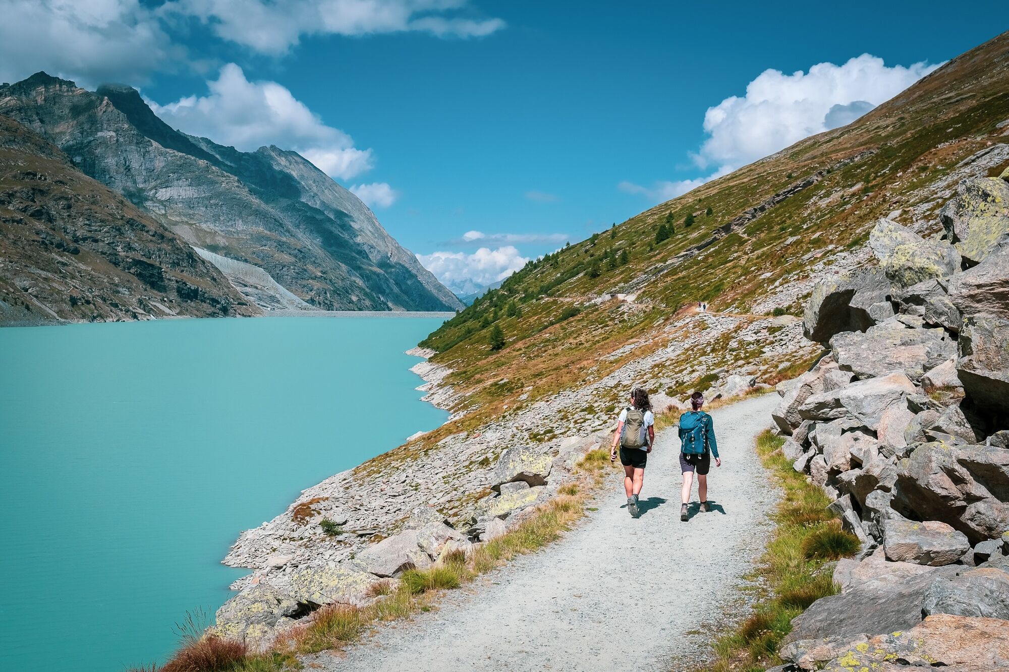
Staumauer Mattmark
- Height profile
-
 © outdooractive.com


-

-
AuthorThe tour Vom Mattmark-Stausee auf den Monte-Moro-Pass is used by outdooractive.com provided.
GPS Downloads


General info
Refreshment stop
Cultural/Historical
Flora
Fauna
A lot of view
Other tours in the regions
-
Oberwallis
1877
-
Saastal
484
-
Macugnaga
67


