- Brief description
-
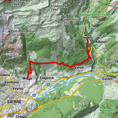
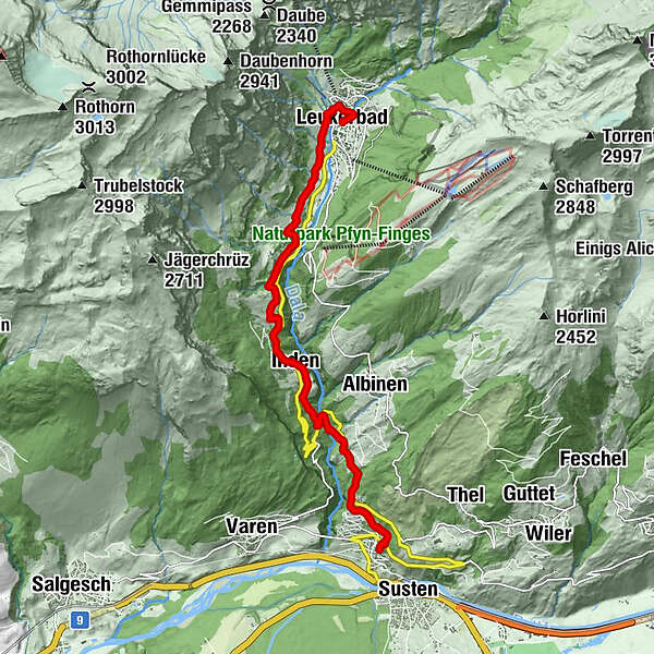
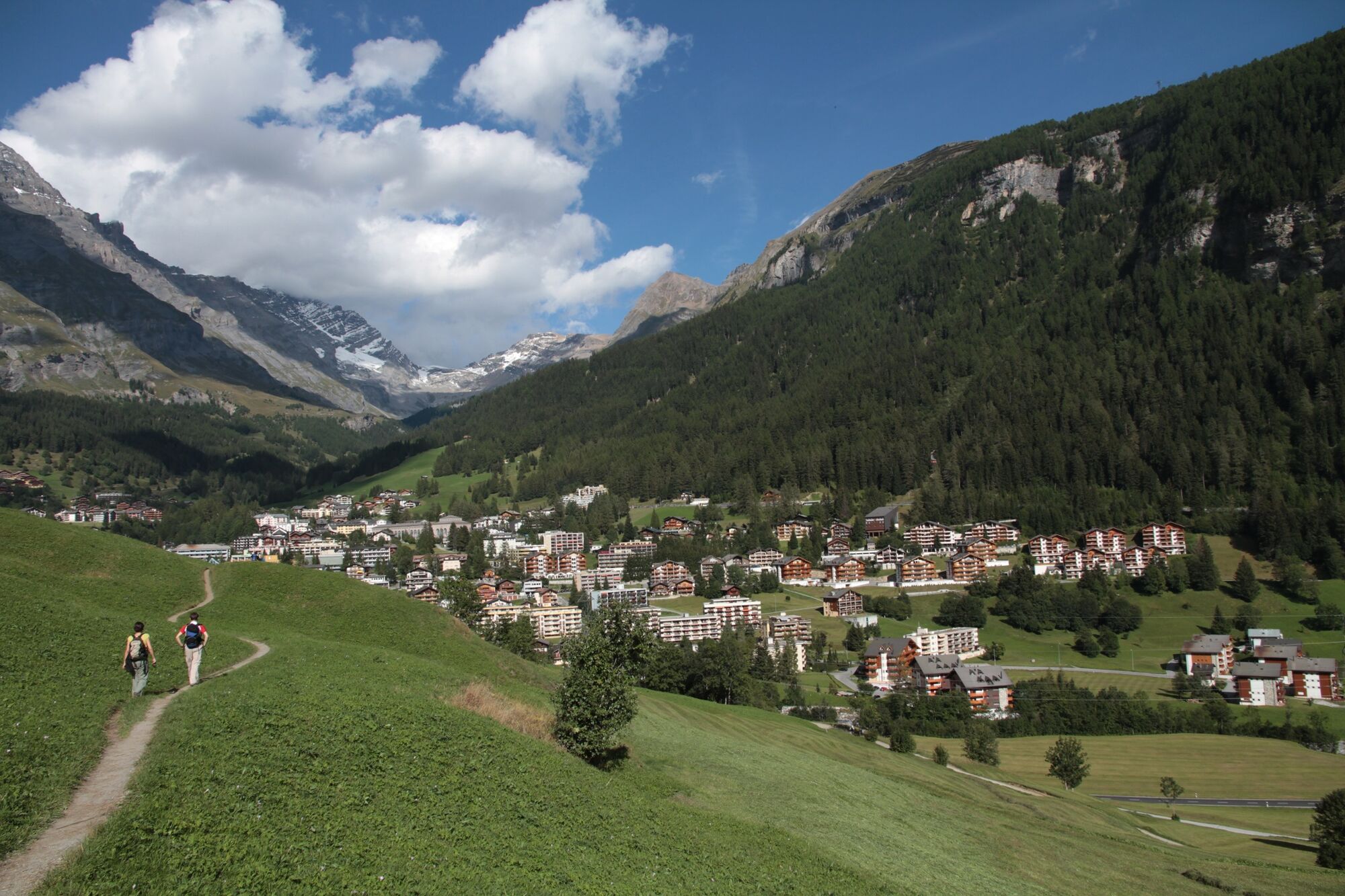
Via Cook: Leuk - Leukerbad
- Difficulty
-
difficult
- Rating
-
- Starting point
-
Leuk
- Route
-
Leuk Stadt (731 m)Kirche0.0 kmTschingere2.3 kmRumeling3.2 kmInden4.5 kmMiljüt5.7 kmBodmen6.7 kmBirchen7.9 kmRestaurant Birchen7.9 kmLoèche-lès-Bains (1,402 m)10.3 km
- Best season
-
JanFebMarAprMayJunJulAugSepOctNovDec
- Description
-
You reach Leukerbad on historical mule tracks and an old railway route past the St. Barbara wayside chapel and over a 16th century bridge. At your destination, a visit to one of the thermal baths is highly relaxing.
- Highest point
- 1,395 m
- Endpoint
-
Leukerbad
- Height profile
-
 © outdooractive.com
- Author
-
The tour Via Cook: Leuk - Leukerbad is used by outdooractive.com provided.
GPS Downloads


Other tours in the regions
-
Oberwallis
1880
-
Leuk/Leukerbad
1021
-
Inden VS
275