- Brief description
-
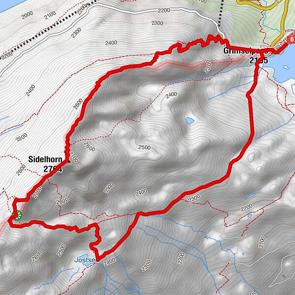
In short: panoramic circular hike with summit ascent. The Sidelhorn is an outstanding vantage point with a fantastic 360° panorama of the Valais and Bernese Alps.
- Difficulty
-
medium
- Rating
-
- Route
-
Hotel GrimselpasshöheGrimselpass0.0 kmAlpenrösli0.1 kmTriebtenseelücke (2,639 m)4.4 kmSidelhorn (2,764 m)5.2 kmGrimselpass8.2 kmAlpenrösli8.3 kmHotel Grimselpasshöhe8.4 km
- Best season
-
JanFebMarAprMayJunJulAugSepOctNovDec
- Description
-
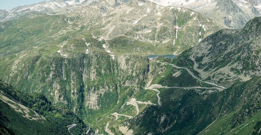
The alpine circular hike leads to a panoramic summit with sweeping views of the Valais 4000m peaks and the impressive Grimsel massif with its glaciers and reservoirs.
The first part of the tour resembles a high-level hike starting from the Grimsel pass summit. Past the legendary "Totesee", the path leads to the idyllic "Jostsee". From here the route heads uphill towards "Triebtenseelicke", which forms the cantonal border with Bern.The "Sidelhorn" is a remarkable accumulation of boulder rubble. From "Triebtenseelike", the well-marked trail therefore leads over countless piles of boulders to the summit cross. The ascent is rewarded by a stunning alpine panorama.
After an invigorating rest, the first part of the descent leads again over large boulders, then on the ridge of the cantonal border. After the Husegg hut we enjoy a good view of the hustle and bustle of the Grimsel pass. In summer a popular starting point for hikers, but also for motorized excursionists and ambitious cyclists.
- Highest point
- Sidelhorn (2,764 m)
- Directions
-
Grimsel Pass


Trail conditions
-
Aletsch Arena
1486
-
Goms
532
-
Guttannen
115