

- Brief description
-
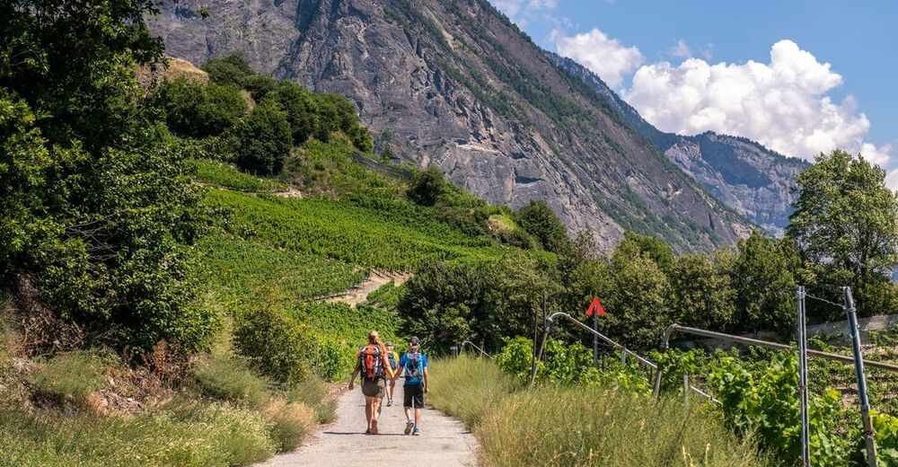
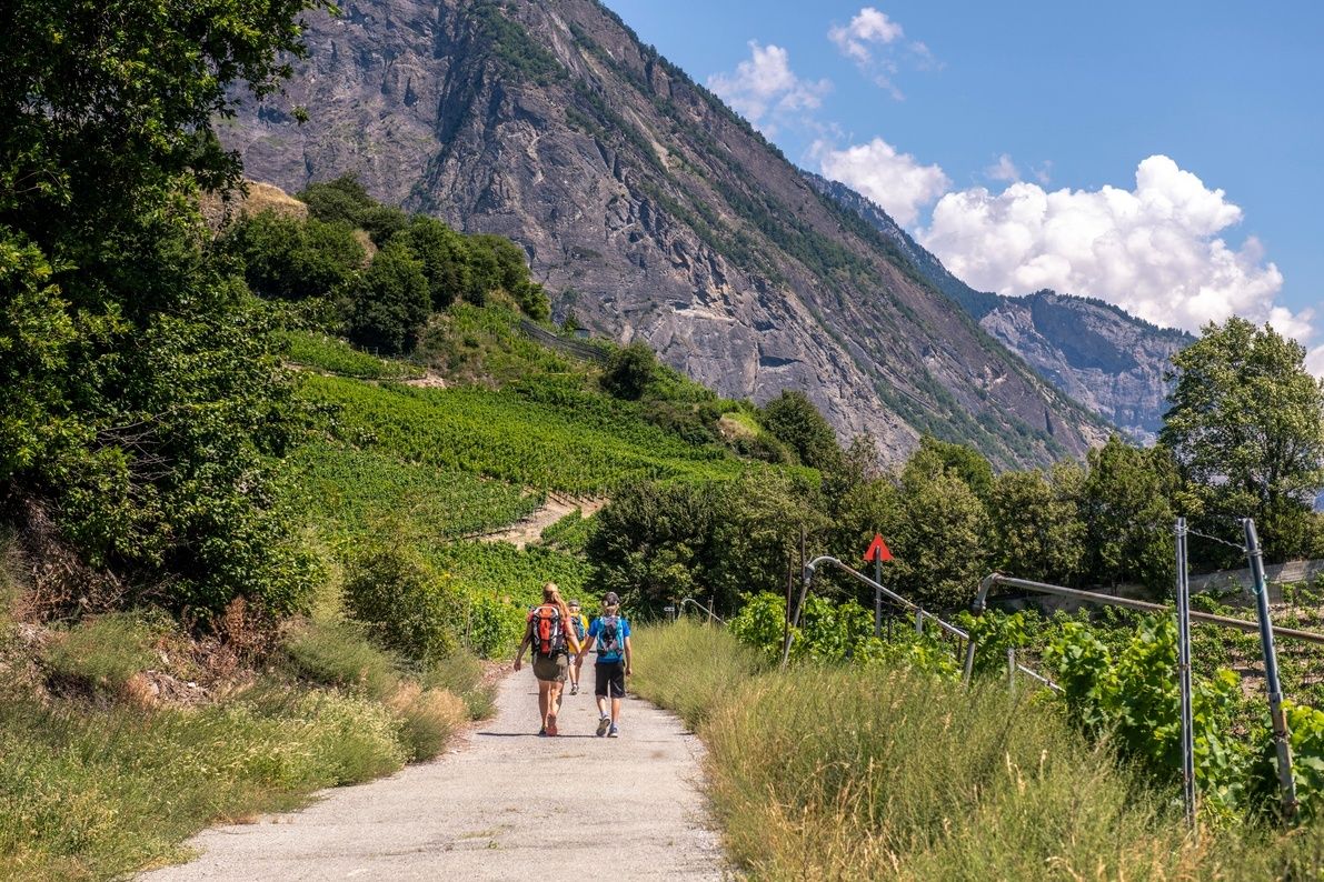
Accessible to walkers of all abilities, this easy route will lead you from the village of Saillon to Farinet footbridge above the Salentse gorges.
- Difficulty
-
easy
- Rating
-
- Starting point
-
Saillon
- Route
-
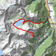
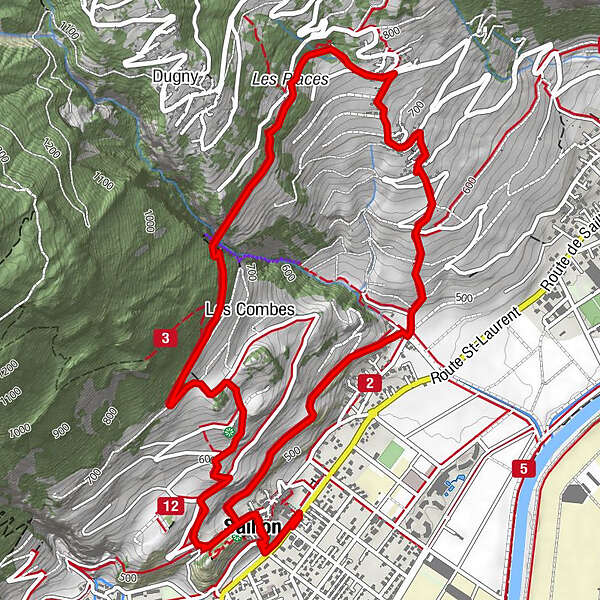
Saillon0.4 kmMontagnon4.3 kmProduit (Leytron)4.7 kmSaillon7.4 km
- Best season
-
JanFebMarAprMayJunJulAugSepOctNovDec
- Description
-
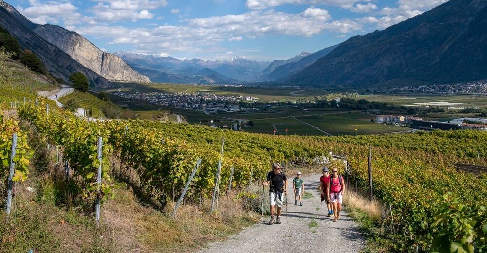
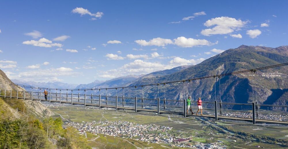
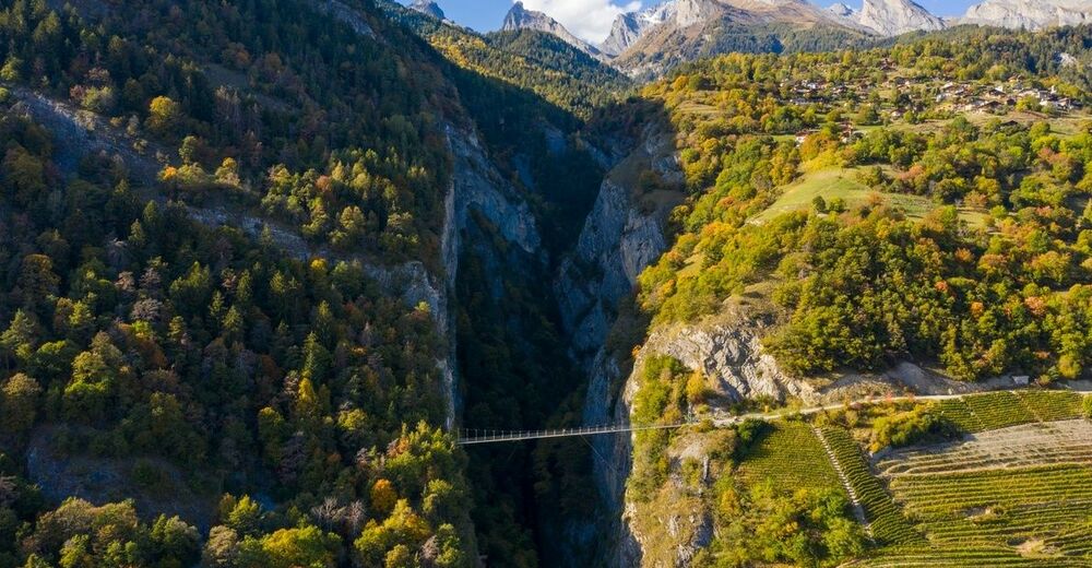
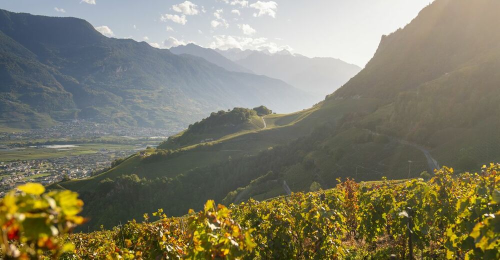
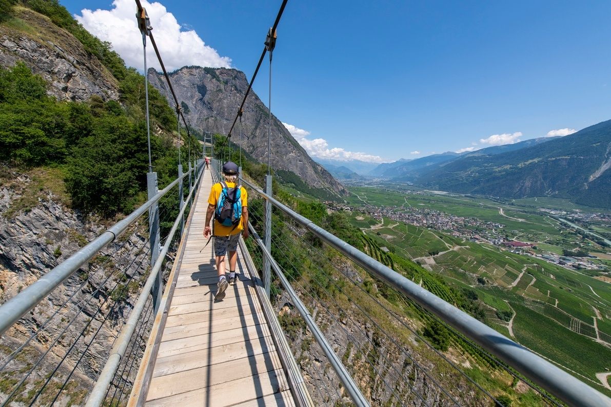
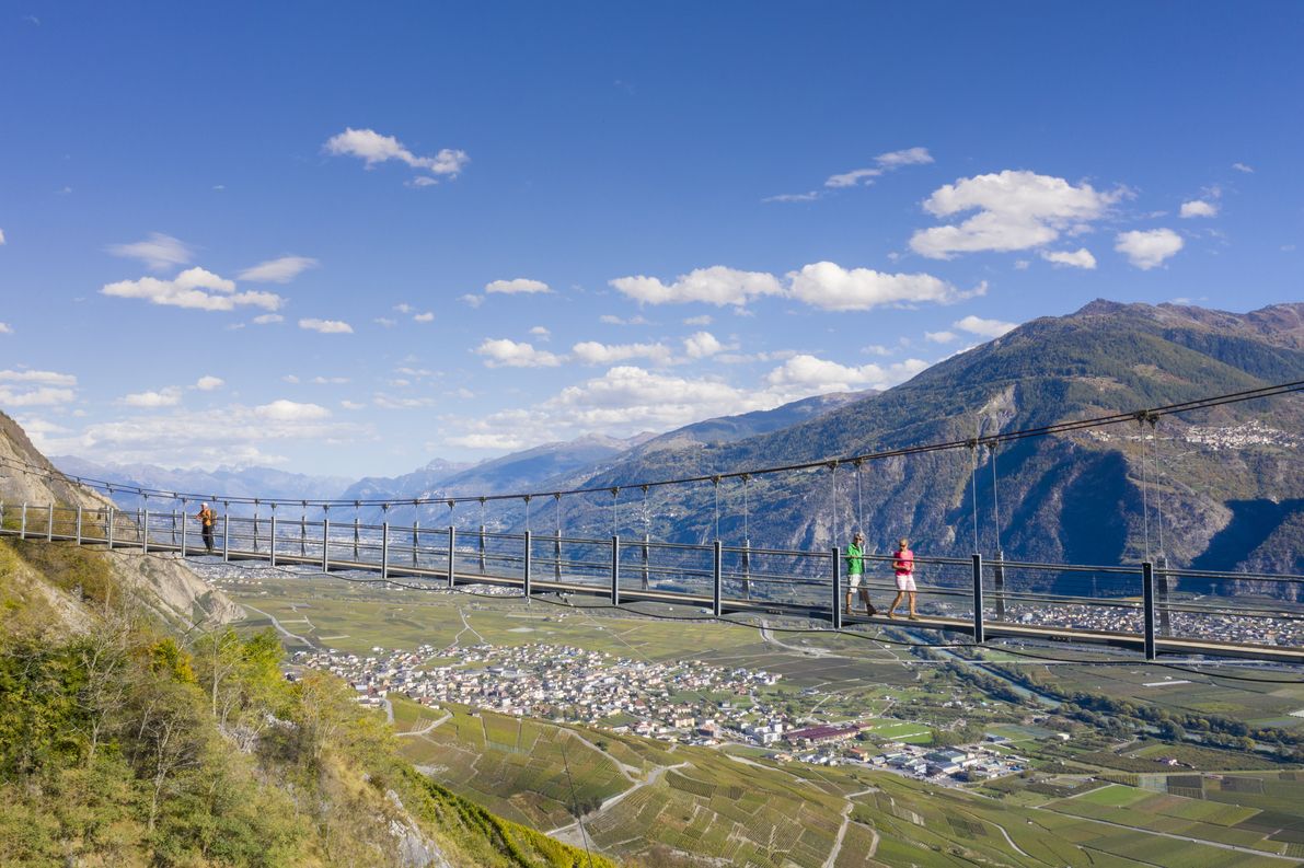
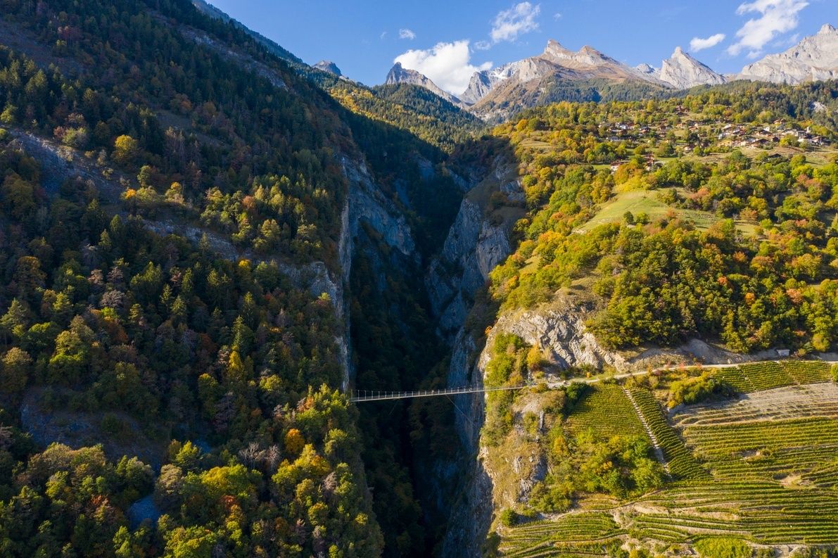
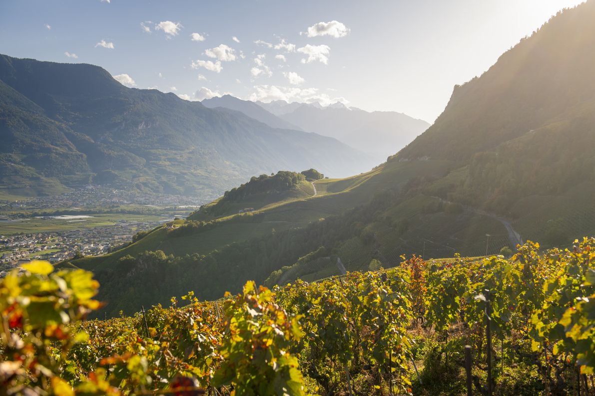
Since June 2001, a 92-metre-long suspension footbridge – its super-lightweight structure seamlessly integrated into the surrounding countryside – has provided a peaceful crossing through the gorges of Salentse. From this perspective, hikers can discover splendid panoramic views of the plains, vineyards, hillsides and peaks surrounding the valley. Hans Erni’s famous “Colombe de la Paix” dove, attached to the cliff side at the heart of the via ferrata, keeps watch over the adventurers gazing down at the void beneath. At a dizzying height of 136 metres above the abyss where Farinet died, the footbridge is the final stage of a hike starting from the heart of Saillon village and passing through a number of important historical spots that tell the tale of the famous counterfeiter. It can be accessed by crossing the vineyard in Saillon or from the Les Places bus stop on the Route d’Ovronnaz.
- Directions
-
From Place Farinet in Saillon, pass the medieval castle via the Sentier des Vitraux (a path adorned with stained-glass artworks), which will take you past the famous counterfeit money museum (Musée de la Fausse Monnaie), before heading to the large park via Rue des Remparts. Once you’ve arrived at the “Destin” stained-glass window, take a left onto the road leading towards Farinet vineyard, and then turn right for the footbridge, following the yellow hiking signposts. Next, climb up a steep path through the vineyards. When you reach the top, take the tarmacked road branching off to the right. After following a straight line into the forest, continue on the path towards the “Clairière des Légendes” clearing and its picnic place, then tackle the dizzying footbridge overlooking the Salentse gorges. To return to the start, you can either take the same path or the path on the other side of the slope, via Montagnon and Produit, following the hiking signposts.
- Highest point
- 838 m
- Endpoint
-
Saillon
- Height profile
-
 © outdooractive.com
 - Equipment
-
We recommend:
good footwear clothing suitable for the weather: always carry a waterproof jacket hat or cap sunscreen bottle for water picnic camera binoculars (optional) hiking poles (optional) printout of this hike (click “Print” icon, to download)For certain walks:
Swimwear - Safety instructions
-
Use of the trails and the information on this website is at hikers’ own risk. Local conditions may entail changes to routes. Valais/Wallis Promotion accepts no liability for the accuracy and completeness of information on this website.
For all hikes:
Bring a map. Download full description of this route including large-scale map by clicking on “Print” icon, top right of this page. Use marked trails only, and observe all signposting – for your own safety, to safeguard grazing animals and to avoid disturbing wildlife. Close gates after passing through. Please be considerate to other trail users, and to the plants and animals. Do not leave any waste in nature.For mountain hikes:
Take extra care protecting yourself from the sun at altitude. UV radiation can be exceptionally strong, even in cloudy weather. Plan hike carefully: take into consideration fitness level of each participant, weather forecast and season. Weather conditions can change quickly in the mountains, without warning. Appropriate clothing is therefore essential, along with adequate supplies of food and water. In uncertain weather, turn back in good time.For high-altitude hikes:
Inform others of the route you plan to take. Whenever possible, avoid going alone. Do not venture onto glaciers without a mountain guide. Take note of the warning signs that point out the constant danger in river beds and along watercourses below dams and reservoirs: water levels may rise rapidly without warning. - Tips
-
Stop for a picnic next to the footbridge to take in the panoramic views of the Rhône Valley, the Via Farinetta and the Salentse gorges.
- Additional information
- Directions
-
Follow the A9 motorway and take exit 23 (Saxon) from Martigny, or 24 (Riddes) from Brig and drive in the direction of Saillon.
- Public transportation
-
From Geneva or Brig, take the train to Riddes station. Then take the post bus and get off at the stop of the old post office of Leytron. A second bus will take you to the Collombeyres stop in Saillon, about 200 meters from Place Farinet.
- Parking
-
Leave your car in the large free car park of the Bains de Saillon.

- Author
-
The tour From Saillon to Farinet footbridge is used by outdooractive.com provided.


General info
-
Thyon les Collons
1435
-
Verbier
336
-
Saillon
64