- Brief description
-
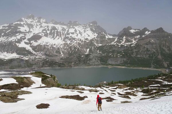
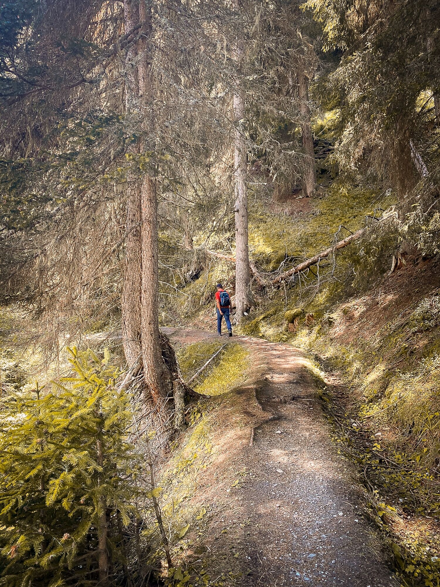
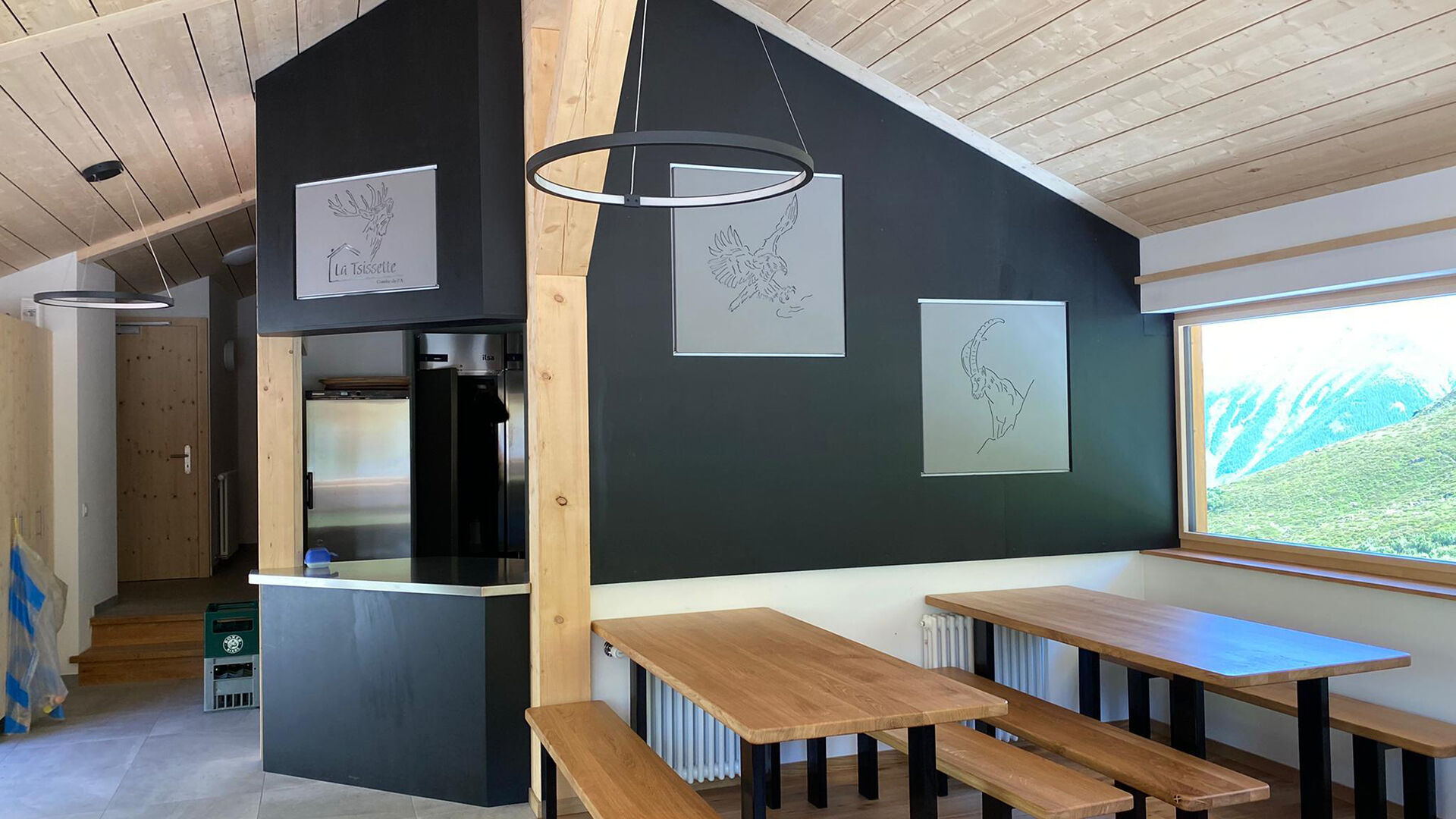
Family walk along an old "bisse" to the hut La Tsissette.
- Difficulty
-
easy
- Rating
-
- Starting point
-
Parking of Télés Vichères-Liddes
- Route
- Best season
-
JanFebMarAprMayJunJulAugSepOctNovDec
- Description
-
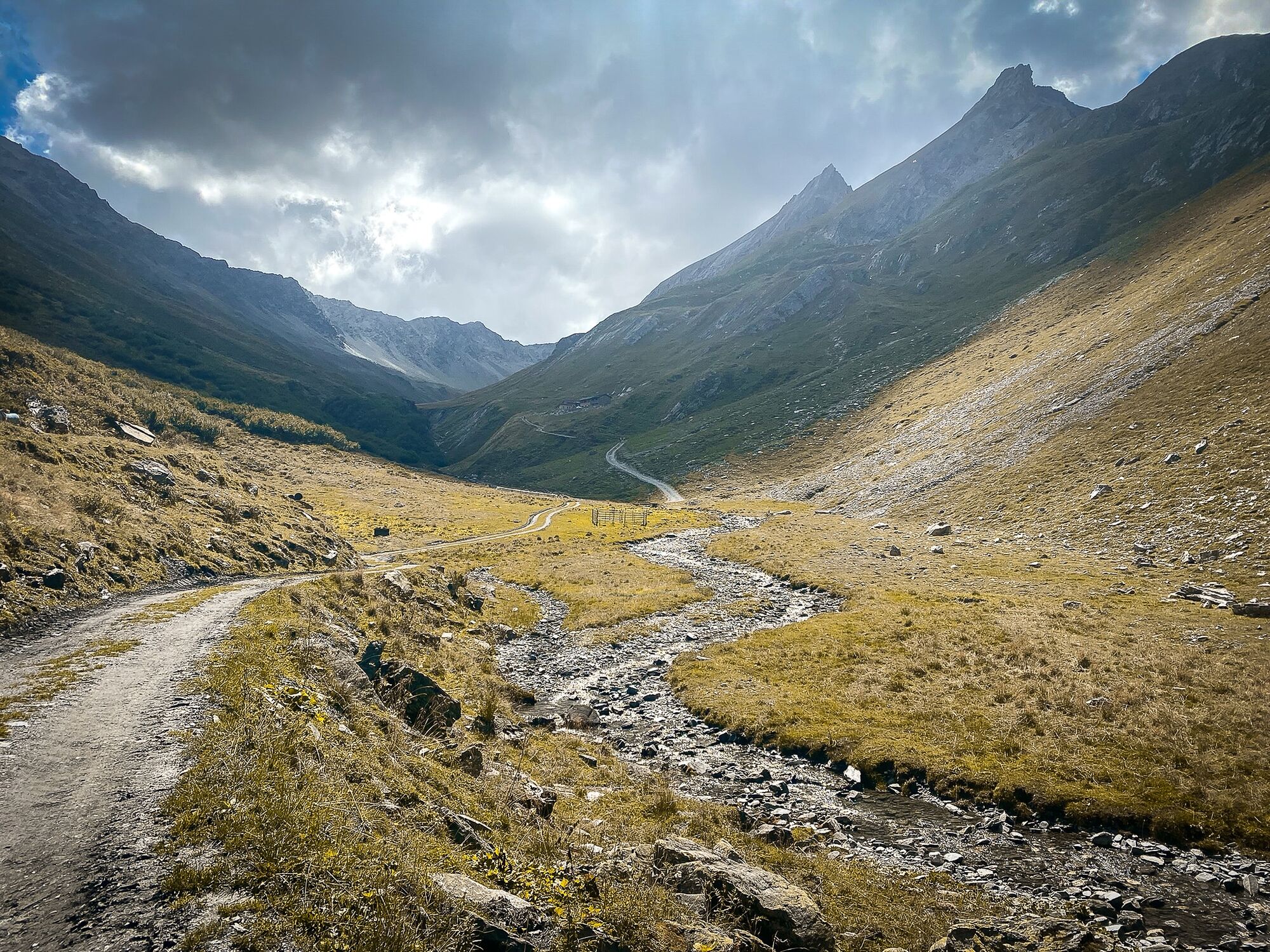
The "bisse de la Tour" (water channel) of the Tour de Bavon collects the water at the Torrent de l'A, at the foot of the Tour de Bavon at 1'805m and leads it to the top of Vichères, after 3.3km. It is no longer in water nowadays.
The hut was renovated in 2020!
- Directions
-
From the car park of the chairlift of Vichères-Liddes, follow the sign to the north indicating the Bisse de la Tour up to the Torrent de l'A. The Bisse de la Tour, which was abandoned for a long time, used to catch water at the Torrent de l'A, at the foot of the Tour de Bavon at 1'805m to drive over the heights of Vichères, after 3.3 km. Possibility to reach the hut of the Tsissette or to continue longer in the Combe de l'A.
- Highest point
- 2,007 m
- Endpoint
-
Parking of Télés Vichères-Liddes
- Height profile
-
 © outdooractive.com
 - Equipment
-
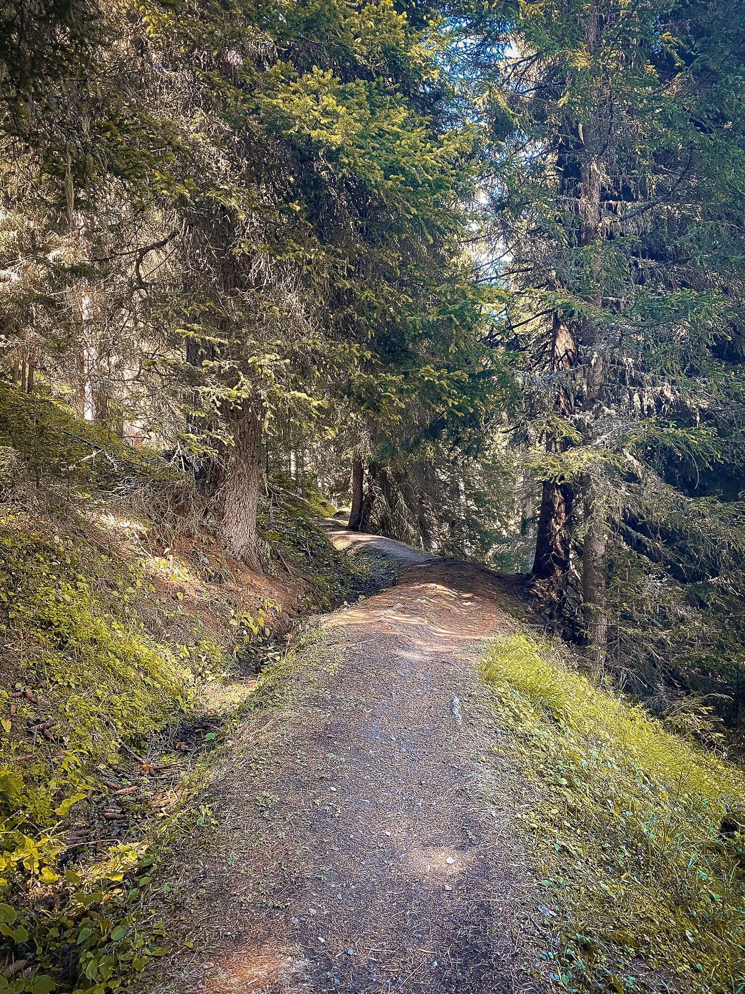
Good walking shoes
- Tips
-
If you have time, extend the walk by escaping to the Combe de l'A to observe the local fauna.
- Directions
-
Exit the motorway at Martigny.
Follow the direction Grand-Saint-Bernard to Vichères.
- Public transportation
- Parking
-
Parking spaces are free.


- Author
-
The tour Bisse de la Tour is used by outdooractive.com provided.


General info
-
Unterwallis
1201
-
Pays du Saint-Bernard
323
-
Vichères-Liddes
100