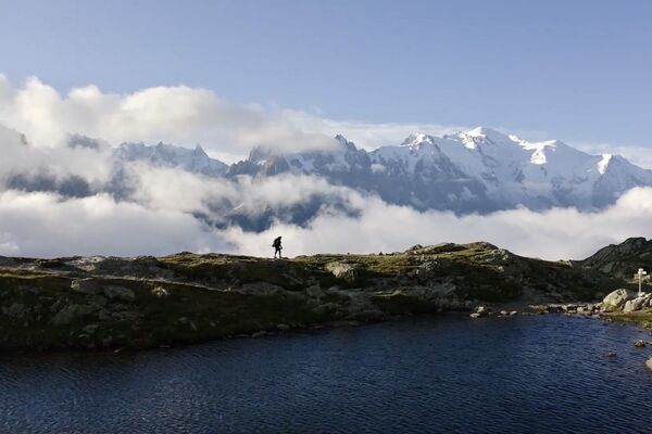

- Brief description
-
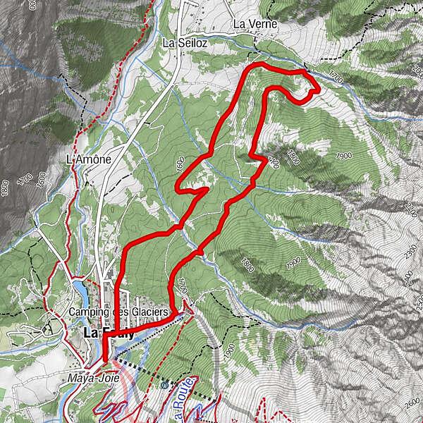
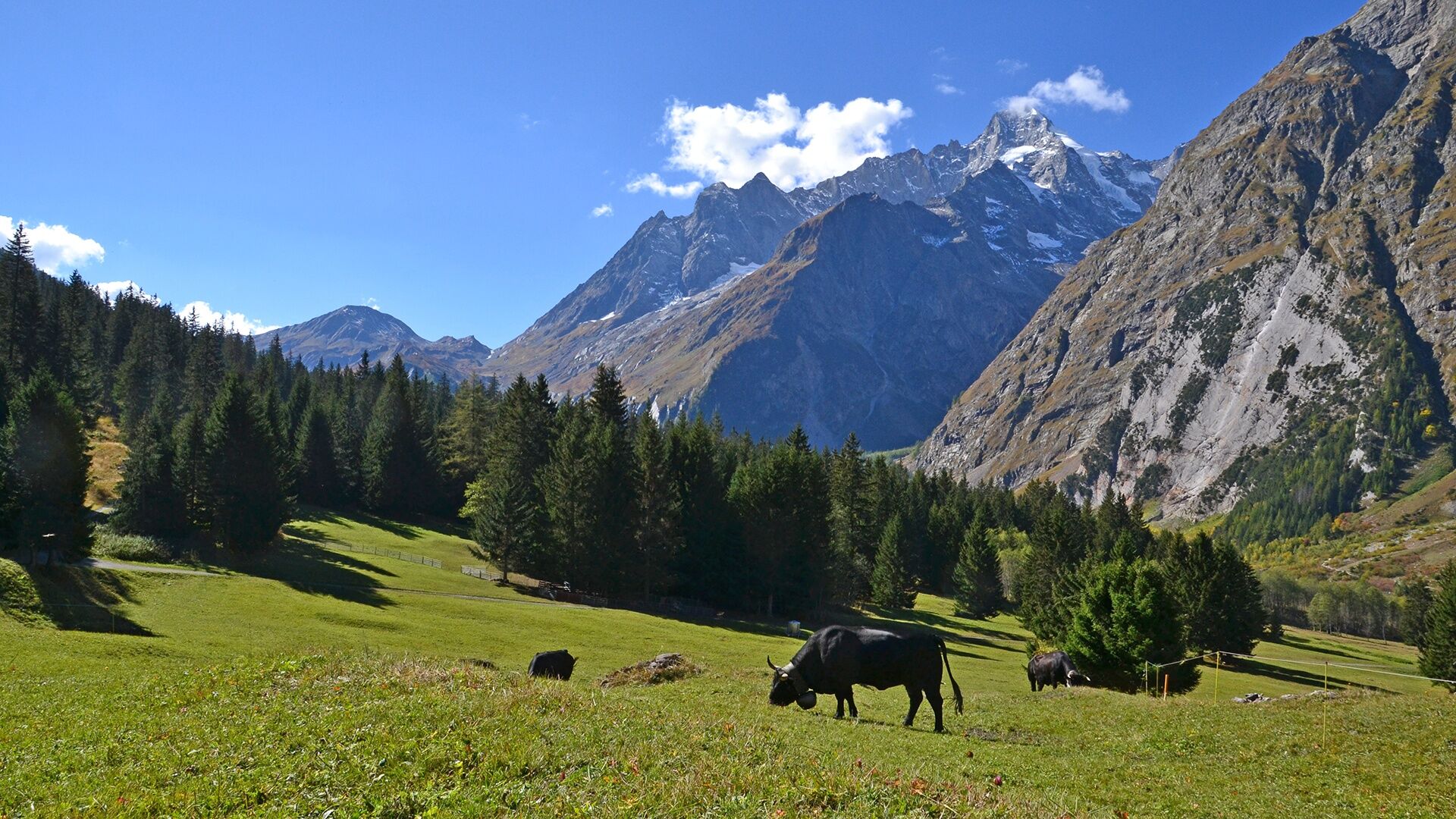
Stroll in the forest between the villages of La Fouly and La Seiloz
- Difficulty
-
easy
- Rating
-
- Starting point
-
La Fouly
- Route
-
Auberge des Glaciers0.1 kmAuberge de la Fouly0.1 kmLa Fouly0.2 kmLa Verne3.2 kmAuberge de la Fouly5.5 kmLa Fouly5.7 kmAuberge des Glaciers5.8 km
- Best season
-
JanFebMarAprMayJunJulAugSepOctNovDec
- Description
-
Walking path in the forest from the village of La Fouly to the hamlet of Prayon. It corresponds to the snowshoe trail in winter. Approximately 1:30.
- Directions
-
Departure from the tourist office, cross the resort to the east and turn left before the dam. Cross the Torrent de la Fouly to the north. The return is lower down through the same forests.
- Highest point
- 1,687 m
- Endpoint
-
La Fouly
- Height profile
-
 © outdooractive.com
 - Equipment
-
Good hiking shoes recommended
- Directions
-
Leave the motorway at Martigny.
Follow the direction Grand-Saint-Bernard then leave the main road at Orsières and follow La Fouly.
- Public transportation
- Parking
-
You can park in front of the Grand Hotel du Val Ferret which is free of charge.


- Author
-
The tour N. 39 "Chemin des Places" is used by outdooractive.com provided.
GPS Downloads


General info
Healthy climate
A lot of view
Other tours in the regions
-
Unterwallis
1197
-
Pays du Saint-Bernard
319
-
Val Ferret - La Fouly
109