
- Brief description
-
Penultimate Swiss section of the Via Francigena!
- Difficulty
-
difficult
- Rating
-
- Starting point
-
Orsières
- Route
-
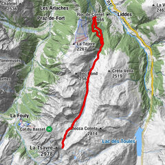
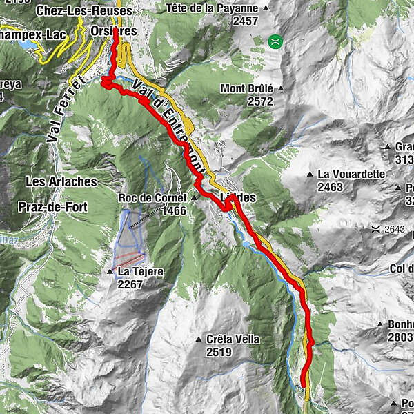
Les Alpes0.0 kmEglise St-Nicolas0.0 kmCrêperie Le National0.0 kmOrsières0.1 kmFornex (Liddes)4.8 kmRive Haute (Liddes)5.4 kmDranse (Liddes)7.9 kmLiddes8.8 kmChapelle de St. Etienne9.3 kmPalasuit9.9 kmBivouac Napoléon13.5 kmEglise Saint-Pierre14.3 kmAuberge Au Petit Vélan14.3 kmBourg-Saint-Pierre (1,632 m)14.3 km
- Best season
-
JanFebMarAprMayJunJulAugSepOctNovDec
- Directions
-
From the center of the village of Orsières, go south on the right bank of the Dranse to reach a large earthen square and then follow the forest road that winds upwards. At the top, go down gently towards Fornex and then Les Moulins. Cross the river and follow the dirt road on the right bank. Go up the small but very steep path to cross the river again at the "Pont de la Tsi".
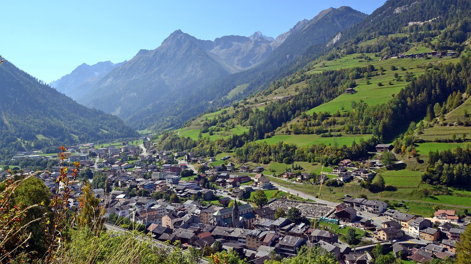
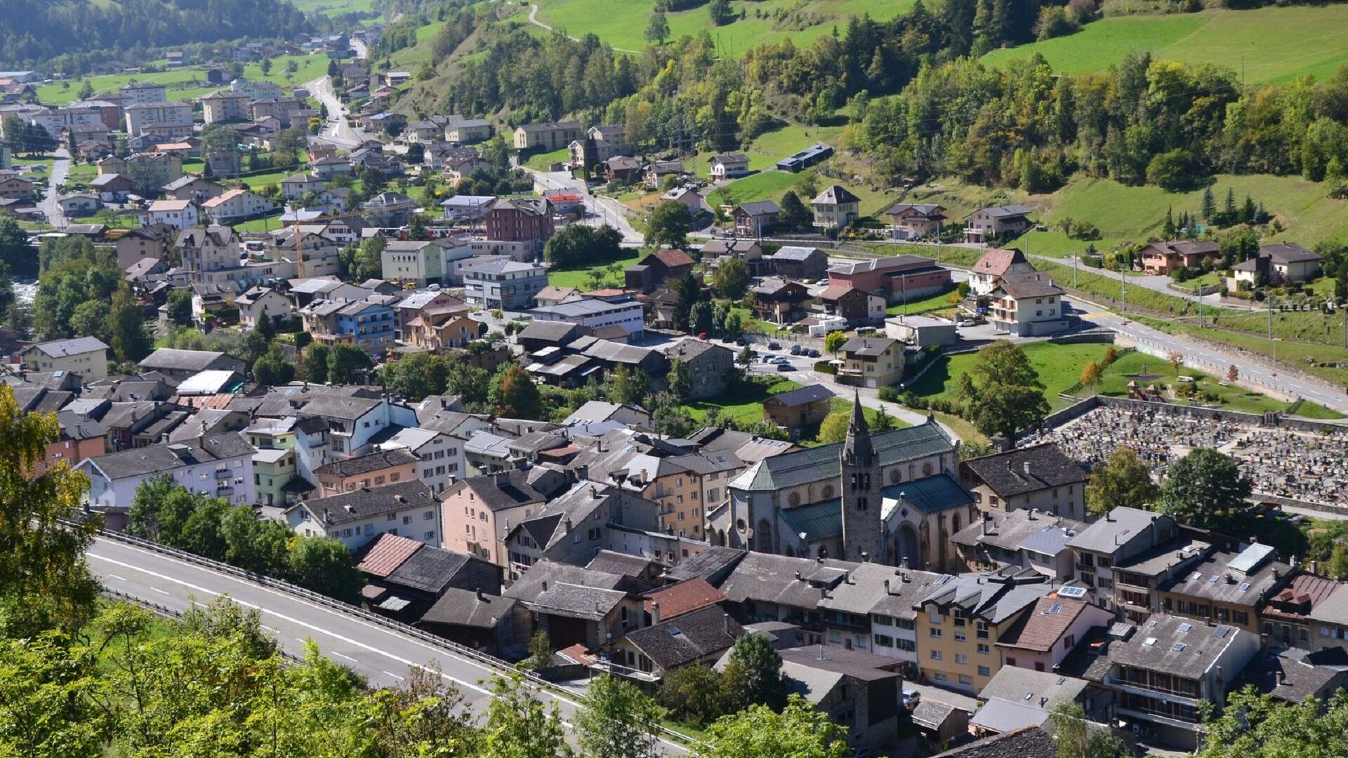
You will then reach the hamlet of Dranse and 5 minutes later the village of Liddes (bus stop, food stores and tourist office). You can eat or stay there. After crossing the village and the main road, you follow a road that gently rises until it passes over a tunnel of the main road. You will arrive at the small chapel of Notre-Dame-de-Lorette at the entrance of Bourg-Saint-Pierre, a village where you will find many possibilities of accommodation, as well as a shop/information point "shop-essence Napoléon", a bus stop, an indoor swimming pool, a botanical garden and a beautiful mill.
- Highest point
- 1,631 m
- Endpoint
-
Bourg-St-Pierre
- Height profile
-
 © outdooractive.com
 - Equipment
-
Good walking shoes recommended.
- Public transportation
- Parking
-
Free parking at the Orsières train station or on the Place des Ides.


- Author
-
The tour Via Francigena Orsières-Bourg-St-Pierre is used by outdooractive.com provided.


General info
-
Unterwallis
1196
-
Pays du Saint-Bernard
319
-
Vichères-Liddes
96