- Brief description
-
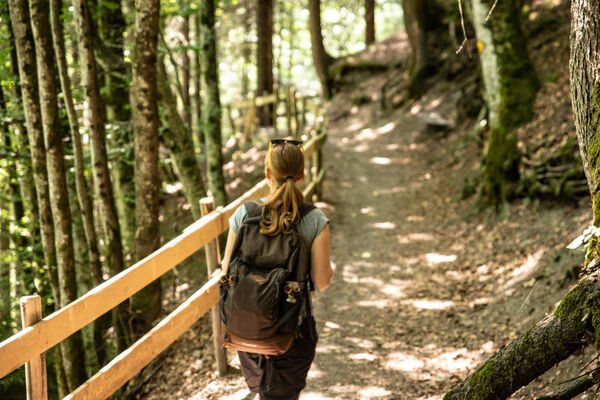
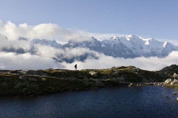
Challenging hike through the Val d'Arpette.
- Difficulty
-
difficult
- Rating
-
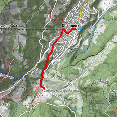
- Starting point
-
Champex, chairlift
- Route
-
Arpette1.8 km
- Best season
-
JanFebMarAprMayJunJulAugSepOctNovDec
- Description
-
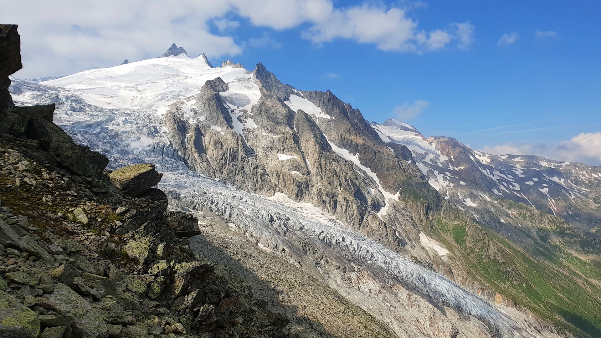
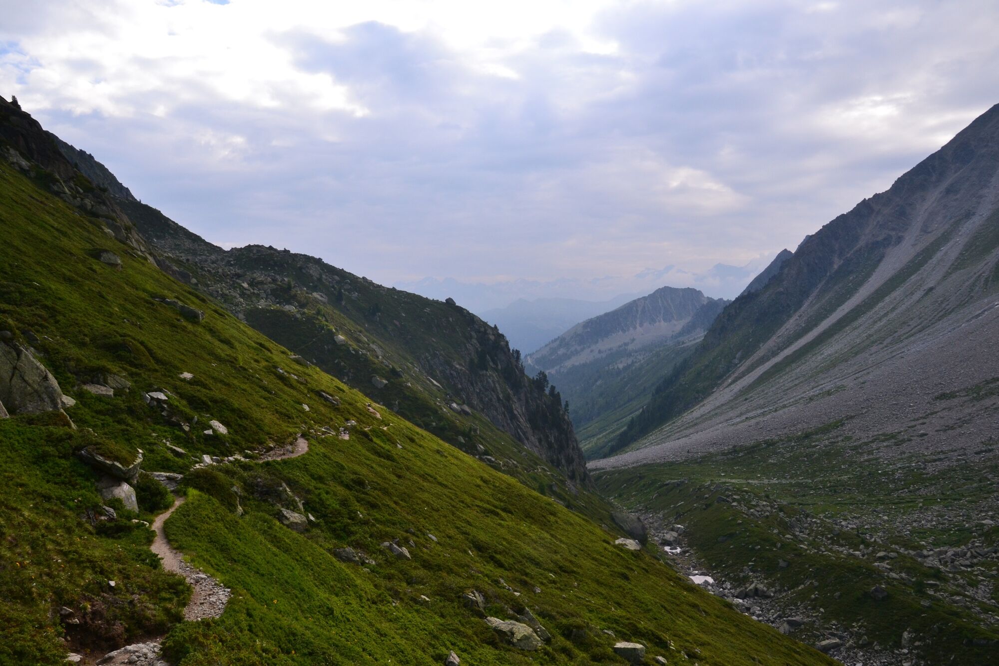
Departure from Champex-Lac to go to the Fenêtre d'Arpette, the highest point between the Vallon d'Arpette and the Vallée du Trient.
- Directions
-
From the bottom of the Breya chairlift, go to the restaurant d'Arpette at the foot of the valley of the same name. Cross the large meadow to the sparse larch forest. Then take the path on the right that crosses the brook and goes towards the Fenêtre d'Arpette. The last section of this hike can be more difficult for less experienced hikers.
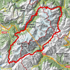
- Highest point
- 2,633 m
- Endpoint
-
Fenêtre d'Arpette
- Height profile
-
 © outdooractive.com
 - Equipment
-
Walking shoes, sticks.
- Safety instructions
-
Aerial passages on the last part of the hike.
- Directions
-
Exit the motorway at Martigny. Follow the direction Grand-Saint-Bernard then leave the main road at Orsières and follow Champex-Lac.
It is also possible to leave the main road at Bovernier and go through Les Valettes but the road is narrow and very winding.
- Public transportation
- Parking
-
Free parking by the lake

- Author
-
The tour N. 11 Fenêtre d'Arpette by the bisse and the valley is used by outdooractive.com provided.


General info
-
Portes du Soleil
974
-
Trient-Tal / Wallis
498
-
Champex-Lac
104