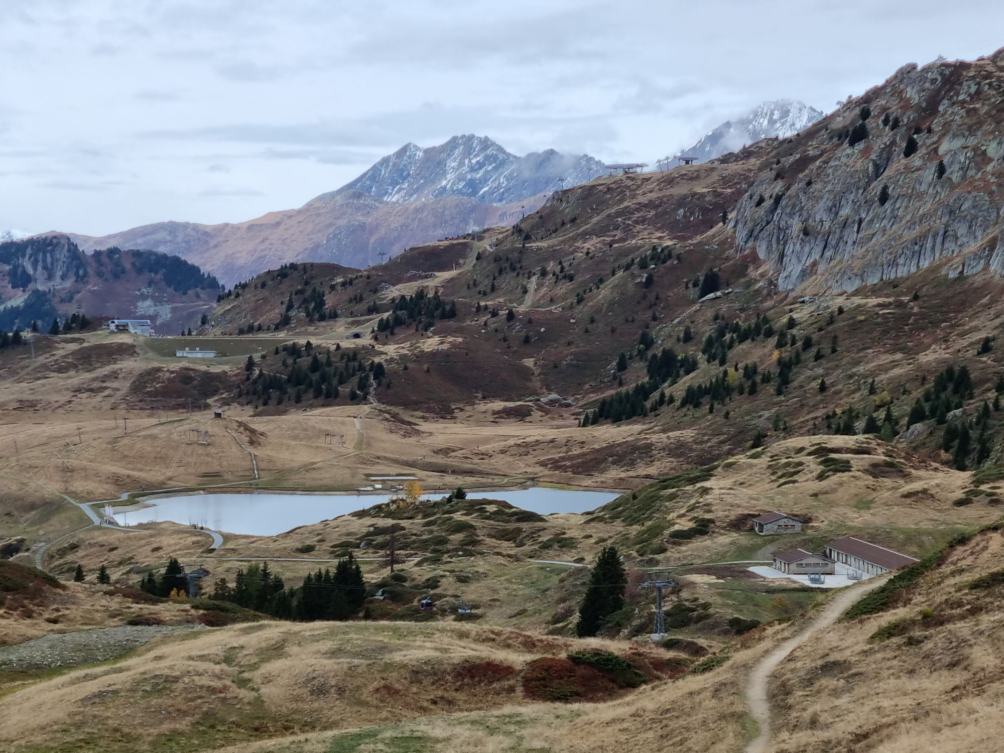
Bettmeralp - Zentrum St. Michael - Sparrhorn - Bättmer Hitta
heavy
Navigate
Navigate
Get this tour on your mobile
Bettmeralp - Zentrum St. Michael - Sparrhorn - Bättmer Hitta
heavy
Hiking
20,59
km
Scan the QR code and start navigation in the bergfex app

Hiking & Tracking


Distance
20,59
km
Duration
06:33
h
Ascent
408
m
Sea level
1.924 -
2.486
m
Track download
Bettmeralp - Zentrum St. Michael - Sparrhorn - Bättmer Hitta
heavy
Hiking
20,59
km


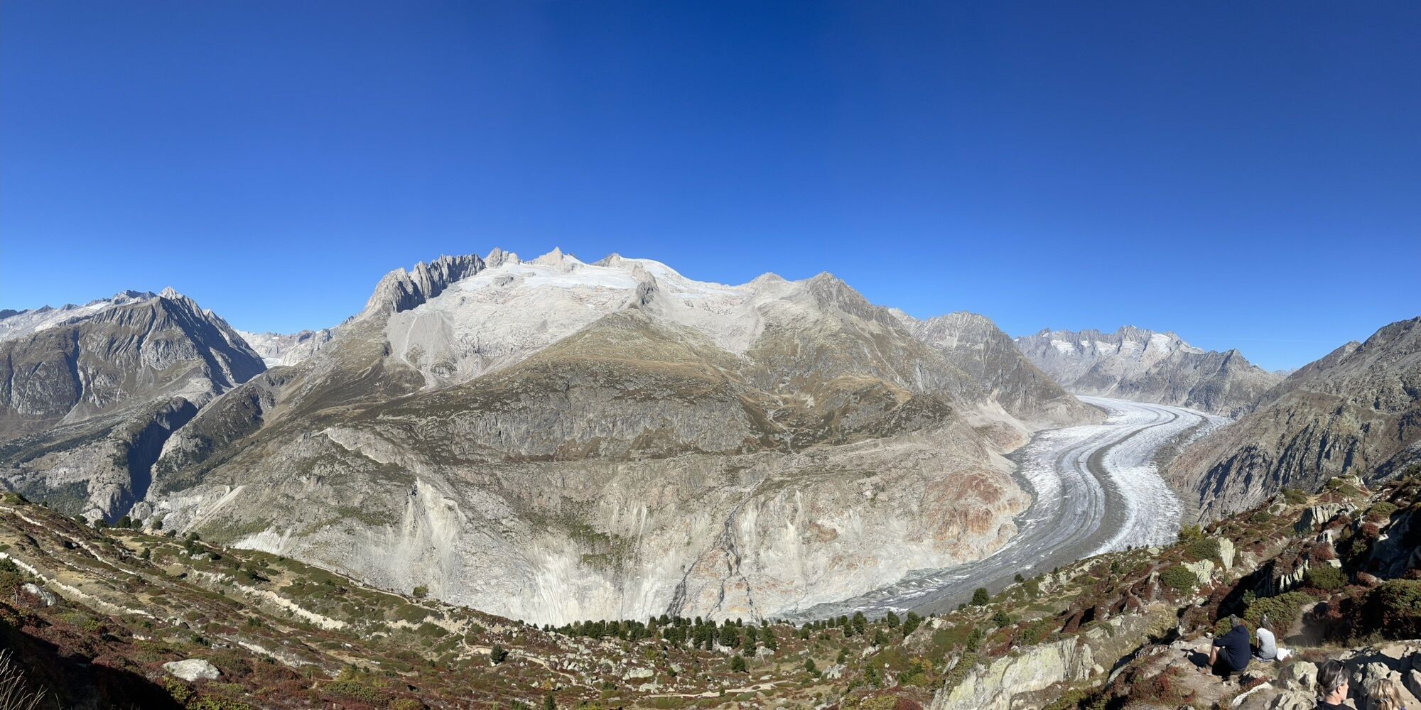
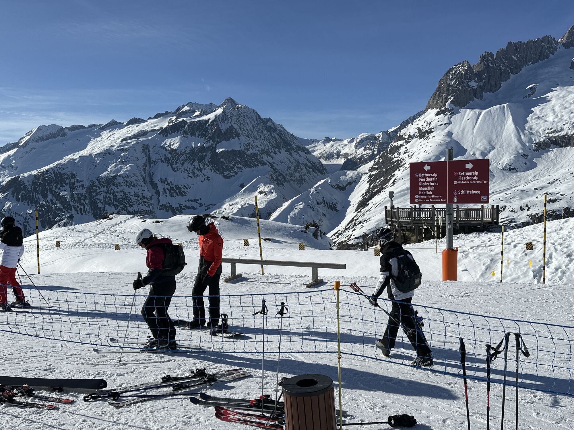
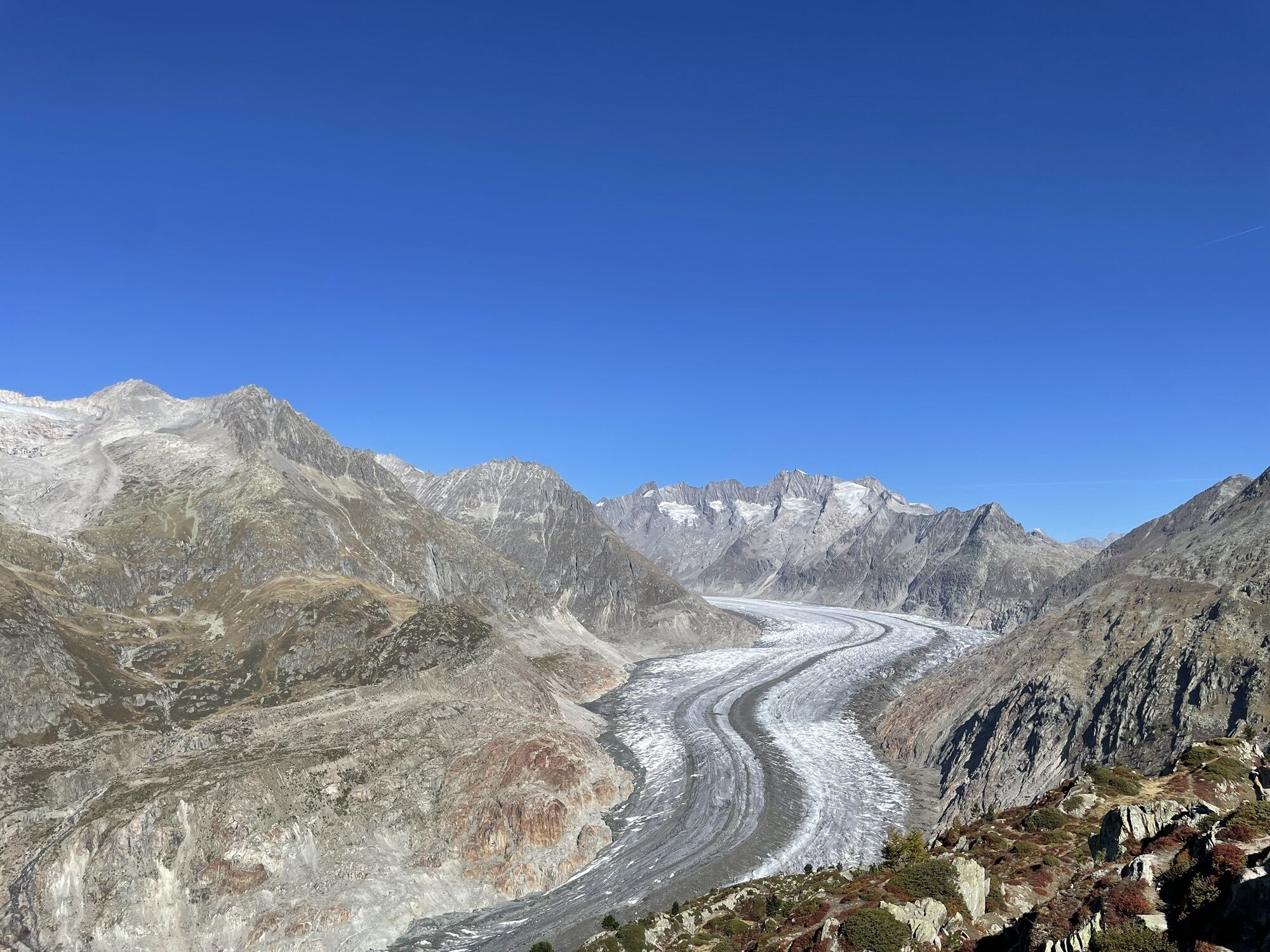
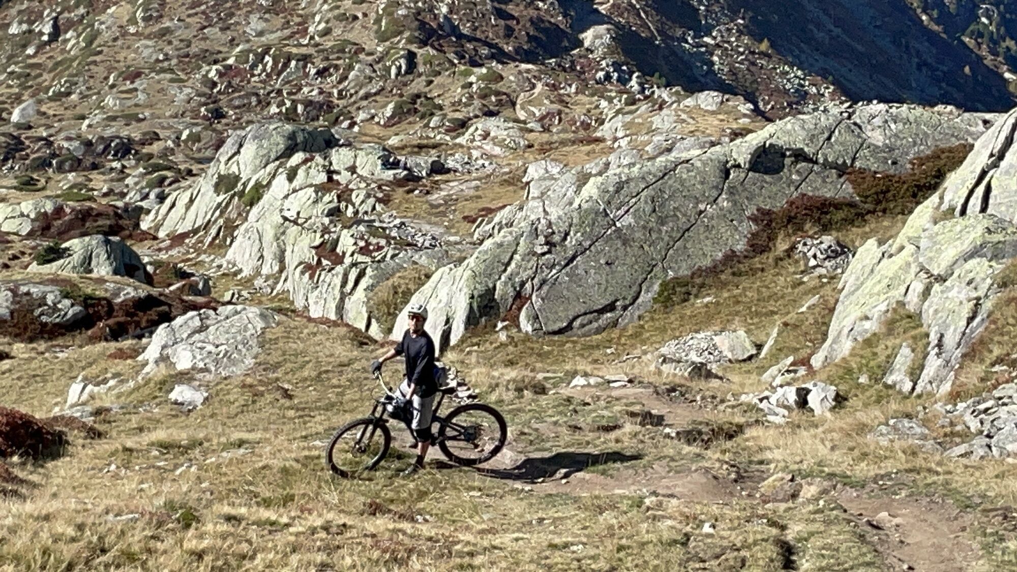
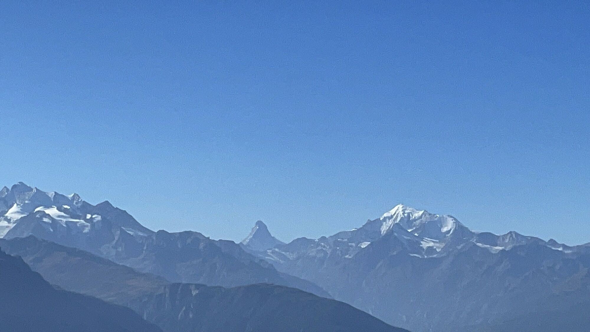
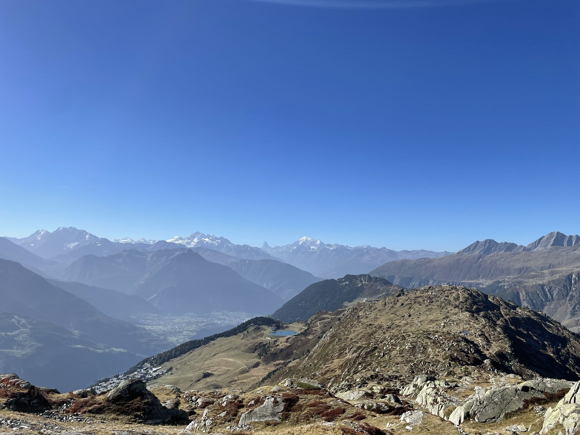
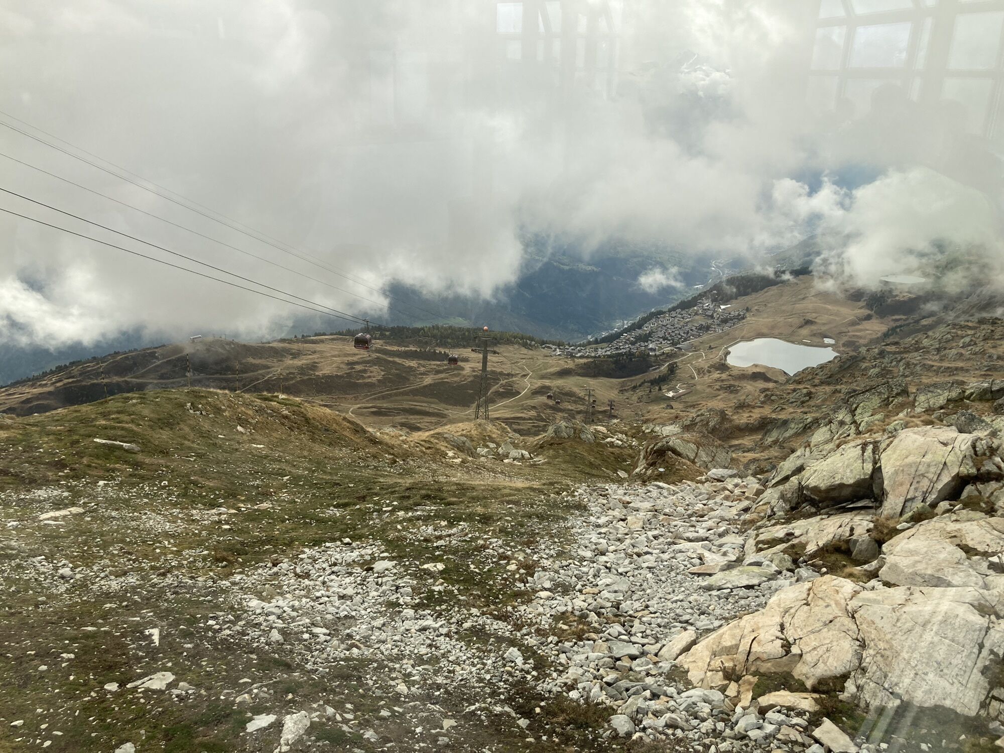
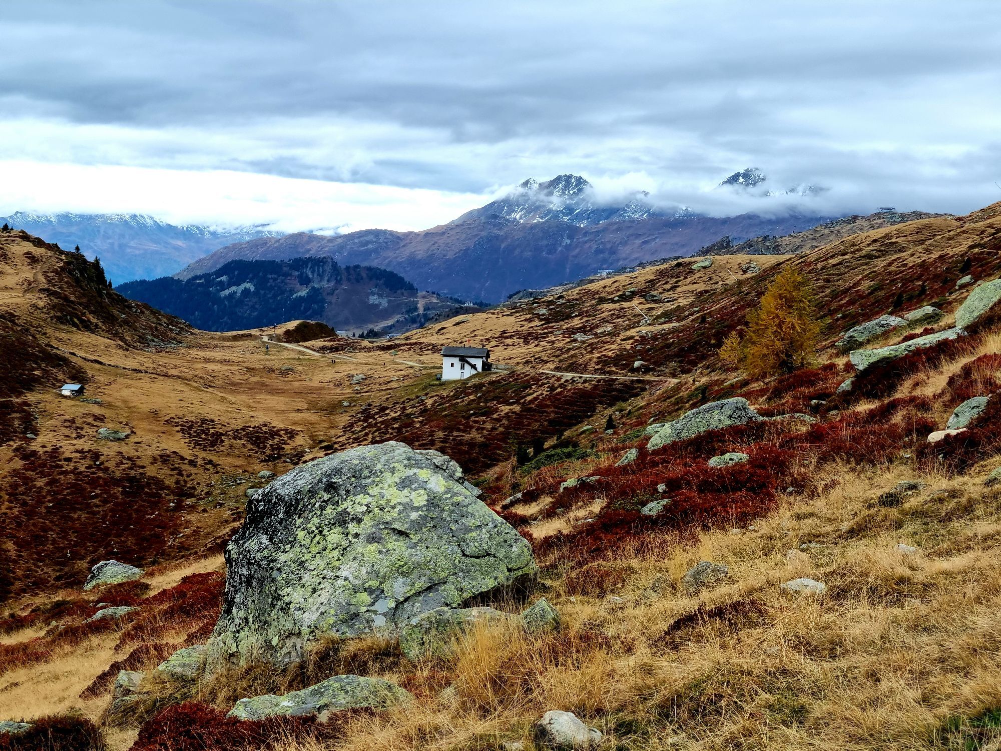
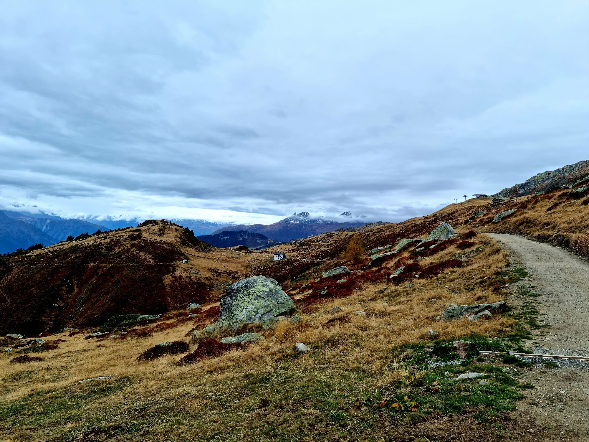
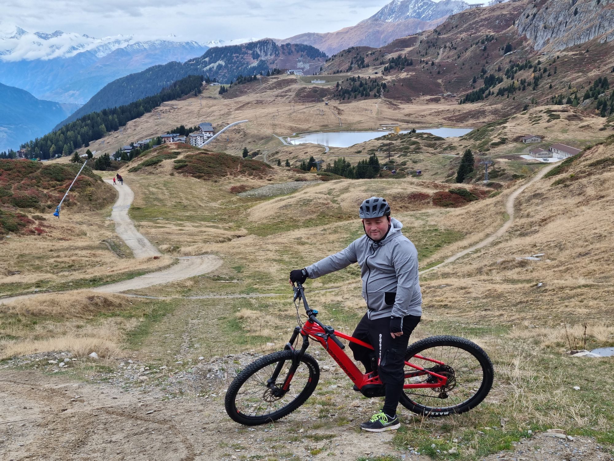
Photos from our users

 © Csilla HanákCreated on 11.10.2023
 © Ede FaludiCreated on 20.02.2025
 © Csilla HanákCreated on 11.10.2023
 © Csilla HanákCreated on 11.10.2023
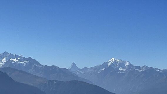 © Csilla HanákCreated on 11.10.2023
 © Csilla HanákCreated on 11.10.2023
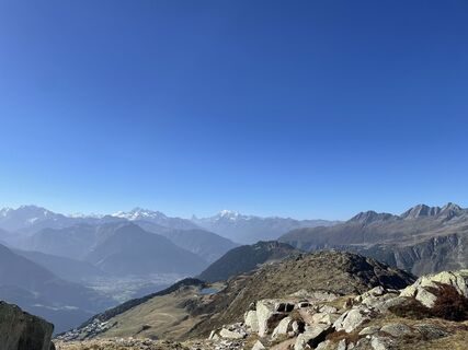 © Csilla HanákCreated on 11.10.2023
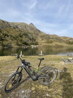 © Patrick LuggenCreated on 10.10.2023
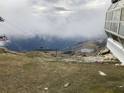
 © Heinrich MocelliniCreated on 13.10.2022
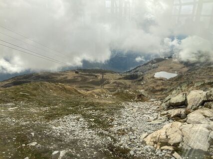 © Heinrich MocelliniCreated on 13.10.2022
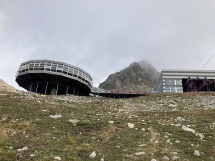 © Heinrich MocelliniCreated on 13.10.2022
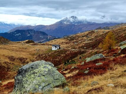
 © mazi79Created on 09.10.2022
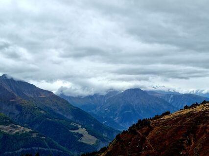 © mazi79Created on 09.10.2022
 © mazi79Created on 09.10.2022
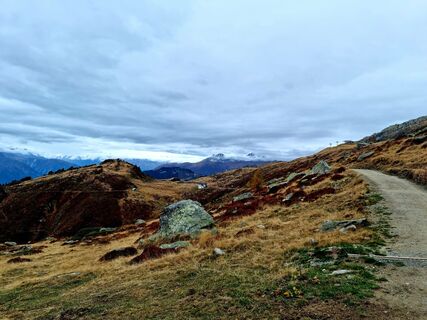 © mazi79Created on 09.10.2022
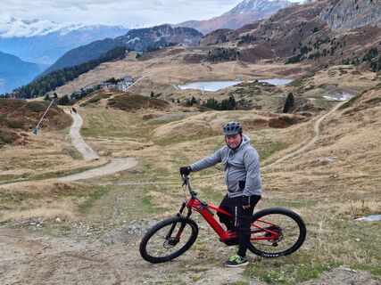 © mazi79Created on 09.10.2022
 © mazi79Created on 09.10.2022


Route
Bettmeralp
(1.960 m)
Gondola station
0,1 km
Zentrum St. Michael
(1.943 m)
Place of worship
0,6 km
Bettmeralp
(1.948 m)
Village
0,7 km
Sparrhorn
(2.289 m)
Summit
3,0 km
Laxeralp
(2.221 m)
Corridor/terrain
16,2 km
Bättmer Hitta
(2.170 m)
Restaurant
17,8 km
Zentrum St. Michael
(1.943 m)
Place of worship
20,0 km
Route
Bettmeralp - Zentrum St. Michael - Sparrhorn - Bättmer Hitta
heavy
Hiking
20,59
km
Bettmeralp
(1.960 m)
Gondola station
0,1 km
Zentrum St. Michael
(1.943 m)
Place of worship
0,6 km
Bettmeralp
(1.948 m)
Village
0,7 km
Sparrhorn
(2.289 m)
Summit
3,0 km
Fiescheralp
(2.200 m)
Gondola station
15,6 km
Laxeralp
(2.221 m)
Corridor/terrain
16,2 km
Bättmer Hitta
(2.170 m)
Restaurant
17,8 km
Bettmeralp
(1.948 m)
Village
19,9 km
Zentrum St. Michael
(1.943 m)
Place of worship
20,0 km
Bettmeralp
(1.960 m)
Gondola station
20,5 km
No reviews yet
Webcams of the tour
Bettmerhorn Aletsch Gebiet
Bettmerhorn
Bellwald Tourismus
Fiesch
Moosfluh Bergstation
Moosfluh Bergstation
Moosfluh Bergstation
Moosfluh Bergstation
Moosfluh Bergstation
Moosfluh Bergstation
Kapelle Maria zum Schnee Bettmeralp
Bellwald Furggulti
Bellwald Talstation
Bellwald Mittelstation Fleschen
Fiescheralp - Kühboden
Popular tours in the neighbourhood
- 4,0
Panoramaweg über den Aletschgletscher
mediumHiking17,7 km - 4,0
Panorama Tour Aletsch Arena
mediumHiking14,7 km CIRCULAR WALK MASSEGGA SUSPENSION BRIDGE
lightHiking6,44 km- 4,7
SUSPENSION BRIDGE RIEDERALP - BELALP
mediumHiking11,5 km UNESCO Höhenweg
Hiking3,70 km- 5,0
VIA FERRATA ALETSCH
mediumVia ferrata3,40 km - 5,0
Aletsch Sightseeing
mediumWinter hiking15,5 km - 4,0
Eggishorn via ferrata
mediumVia ferrata1,39 km - 4,0
NATICHERBERG CIRCULAR TRAIL
mediumHiking12,1 km - 5,0
Circular trail Lüsgersee-Färricha-Aletschbord
mediumHiking3,73 km
Hiking & Tracking

Over 550.000 tour suggestions, detailed maps and an intuitive route planner make the app a must-have for all nature enthusiasts.

Don't miss out on offers and inspiration for your next holiday
Subscribe to the newsletter
Error
An error has occurred. Please try again.Thank you for your registration
Your e-mail address has been added to the mailing list.
Tours throughout Europe
Austria Switzerland Germany Italy Slovenia France Netherlands Belgium Poland Liechtenstein Czechia Slovakia Spain Croatia Bosnia and Herzegovina Luxembourg Andorra Portugal Iceland United Kingdom Ireland Greece Albania North Macedonia Malta Norway Montenegro Moldova Kosovo Hungary San Marino Romania Estonia Latvia Belarus Cyprus Lithuania Serbia Bulgaria Monaco Denmark Sweden Finland