© Interlaken Tourismus - Melanie Studer

© Interlaken Tourismus - Melanie Studer


- Brief description
-
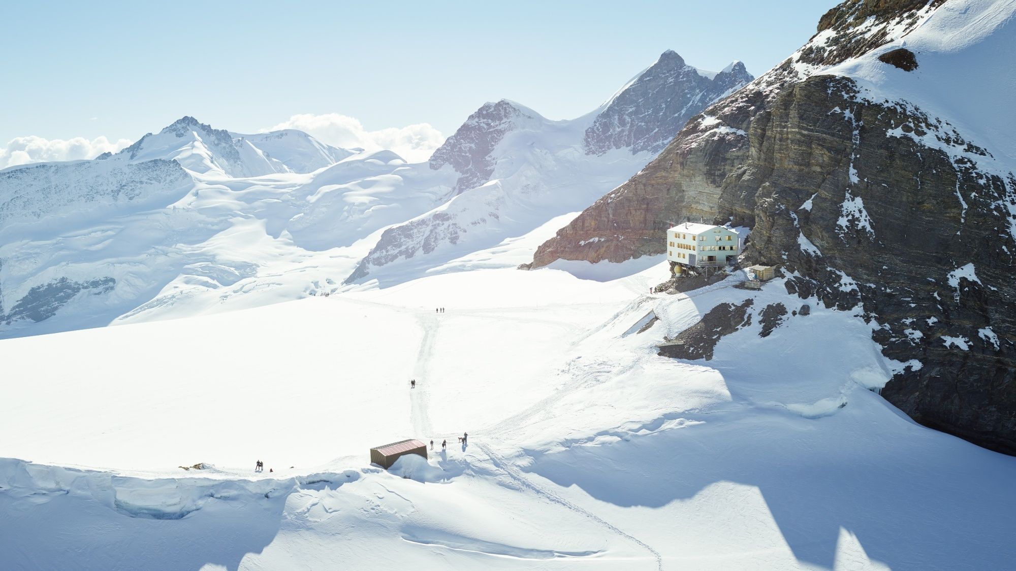
At the Mönchsjochhütte, there’s no shortage of things to see and do: Switzerland’s highest serviced mountain cabin can be reached along a marked path from the Jungfraujoch within just 50 minutes.
- Difficulty
-
medium
- Rating
-
- Starting point
-
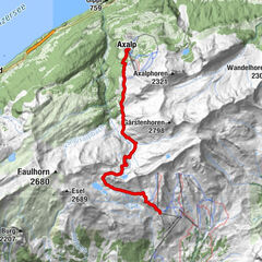
Jungfraujoch - Top of Europe
- Route
-
Obers Mönchsjoch1.7 kmMönchsjochhütte1.8 km
- Best season
-
JanFebMarAprMayJunJulAugSepOctNovDec
- Description
-
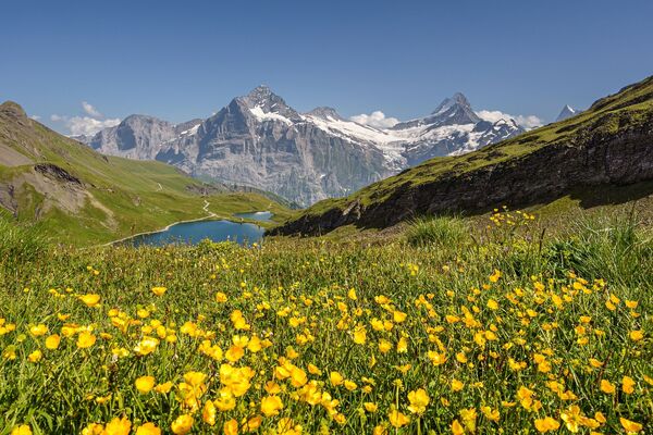
The Mönchsjochhütte lies nestled amidst the UNESCO Swiss Alps Jungfrau-Aletsch World Heritage Site. Four-thousand-footers like the Jungfrau, Mönch and Fiescherhörner seem so close, you could reach out and touch them, and the view to the Pennine Alps and central and eastern Switzerland is practically endless! At the foot of the Mönch, Europe’s longest ice stream, the Aletsch glacier, begins flowing south.
Want to discover yet more hiking trails?
Learn more about the various hiking opportunities in the Bernese Oberland. - Directions
-
Interlaken Tourism
Marktgassse 1
CH-3800 Interlaken
T 0041 33 826 53 00
mail@interlakentourism.ch
www.interlaken.ch - Highest point
- 3,647 m
- Endpoint
-
Mönchsjochhütte
- Height profile
-
 © outdooractive.com
 - Safety instructions
-
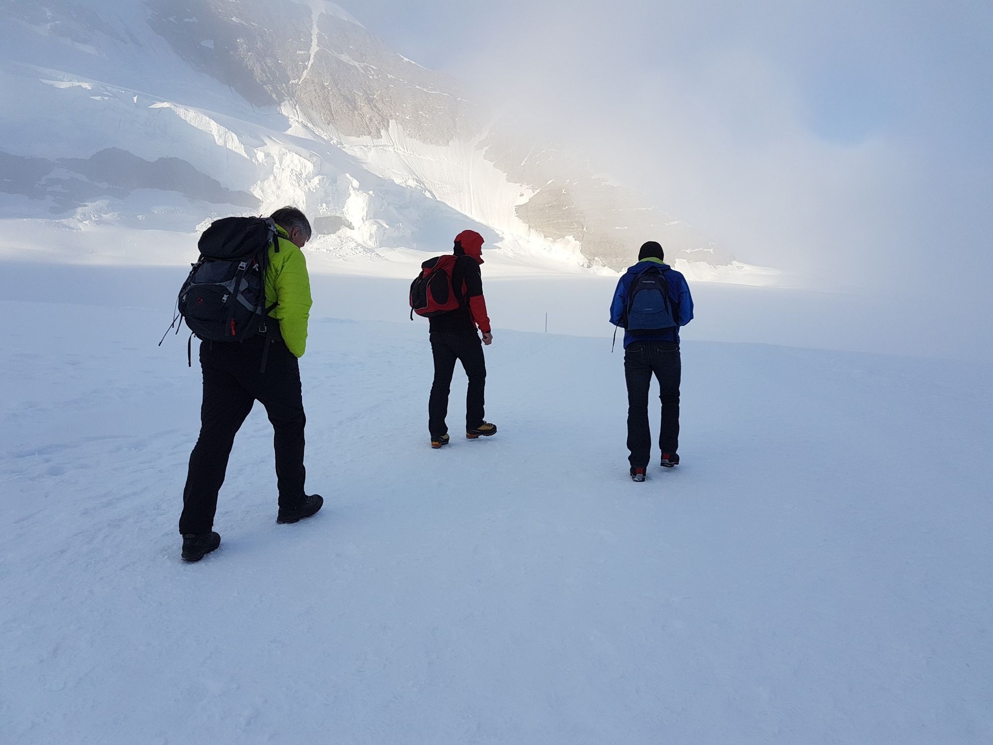
Do not leave the path under any circumstances.
- Additional information
- Public transportation
-
Accessible from Grindelwald or Lauterbrunnen with the Wengernalp Railway and the Jungfrau Railway.
- Parking
-
In Lauterbrunnen and Grindelwald, paid parking.
- Author
-
The tour Mönchsjochhütte is used by outdooractive.com provided.
GPS Downloads
General info
Refreshment stop
A lot of view
Other tours in the regions
-
Aletsch Arena
1471
-
Jungfrau Region
1007
-
Grindelwald - Männlichen
466