

- Brief description
-
Panoramic hike high above Crans-Montana featuring views of 4,000-metre peaks and several attractive mountain restaurants along the way.
- Difficulty
-
difficult
- Rating
-
- Starting point
-
Cry d'Er, cable car summit station
- Route
-
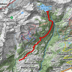
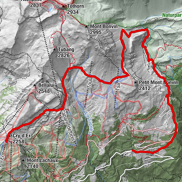
Cry d'Er (2,258 m)0.2 kmViolettes2.1 kmLes Violettes (2,250 m)2.1 kmRestaurant petit Mont-Bonvin5.6 kmPetit Mt Bonvin (2,400 m)5.6 kmCave du Sex10.5 kmAminona12.7 kmRestaurant du Centre d'Accueil d'Aminona13.3 km
- Best season
-
JanFebMarAprMayJunJulAugSepOctNovDec
- Description
-
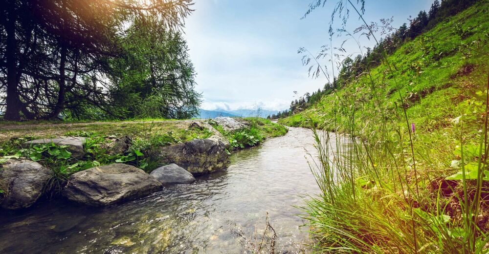
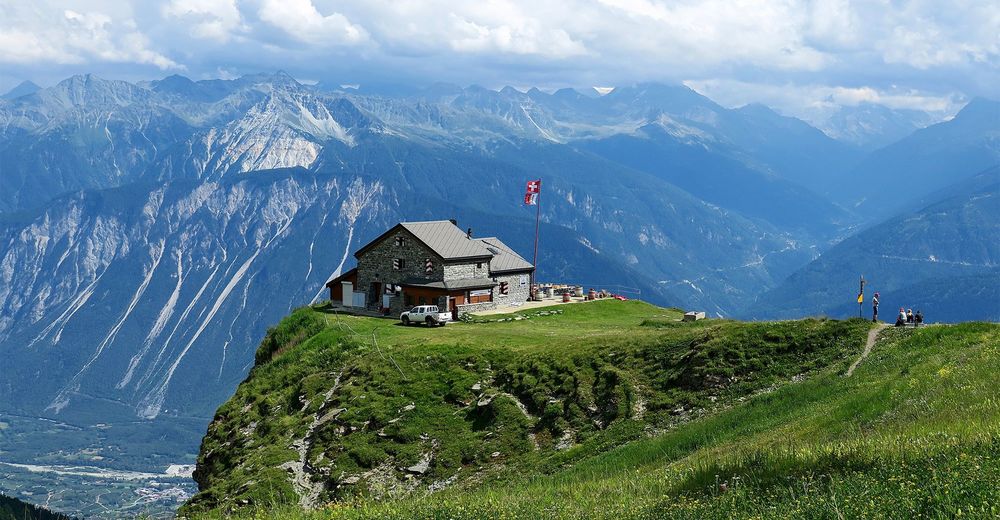
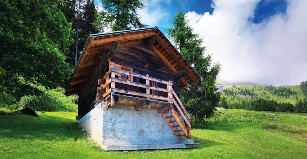
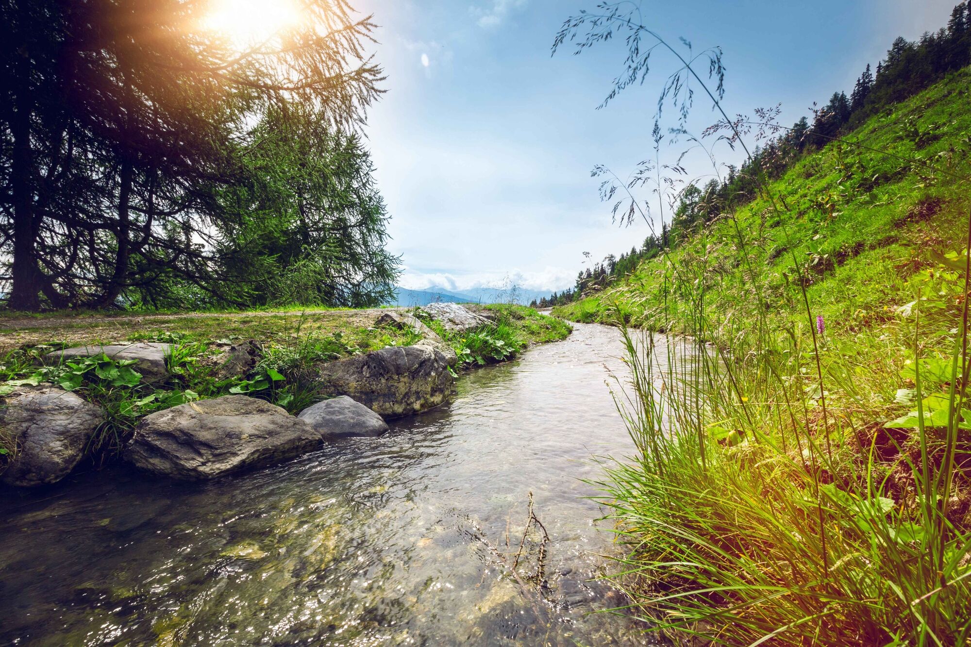
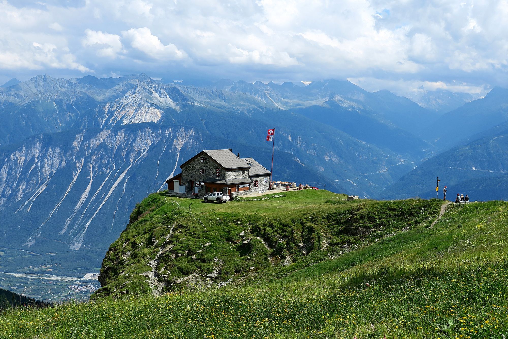
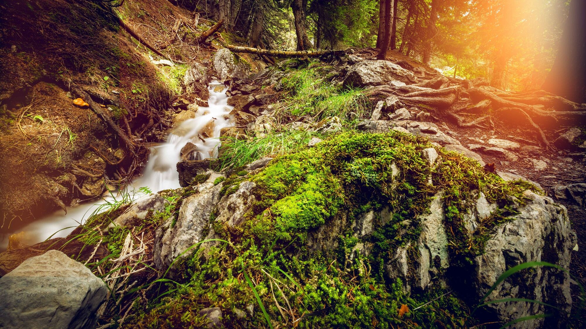
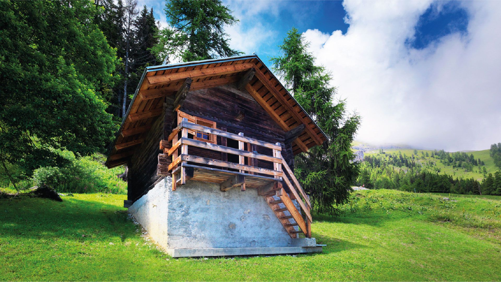
The name of this hike neatly encapsulates its star attraction: panoramic views of the Rhône valley and the glittering 4,000-metre peaks on the far side. Walkers also enjoy a clear view down the Val d’Anniviers opposite, majestically framed by five 4,000-metre summits, with the Matterhorn in the background. Starting point is the Cry d’Er gondola summit station, with its popular restaurant and panoramic sun terrace. The first section of trail is roughly level, and leads to the Cabane des Violettes (2,208 m), run by a mountain guide. The traditional, seasonal Valais cuisine is simple but excellent: the Michelin-starred chef also runs one of the top gourmet restaurants in Crans-Montana. From here the trail sweeps around to the slopes of the Petit Mont Bonvin to begin its descent to Aminona where the hike ends. One of the most delightful sections follows part of the Bisse du Tsittoret, an irrigation channel built in the 15th century. This takes its water from the river La Tièche, just to the east – which downstream becomes the Raspille, linguistic border of Valais.
- Directions
-
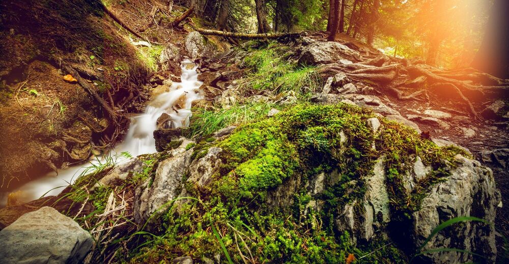
The hike falls naturally into three parts. The first third, roughly level, skirts the slopes of the Bella Lui and continues climbing northwards until reaching the highest point of the hike (2,347 m) on the slopes of the Mont Bonvin. The paths are clearly marked throughout. The trail initially leads north-eastwards to the Cabane des Violettes before turning northwards to continue up the flank of the valley. The final two-thirds of the walk consists of a long, steady descent. At first the trail leads across open, boulder-strewn slopes above the tree line before reaching the Bisse du Tsittoret. From the Cave du Sex, the trail continues through the forest to reach Aminona.
- Highest point
- 2,396 m
- Endpoint
-
Aminona
- Height profile
-
 © outdooractive.com
 - Equipment
-
We recommend:
good footwear clothing suitable for the weather: always carry a waterproof jacket hat or cap sunscreen bottle for water picnic camera binoculars (optional) hiking poles (optional) printout of this hike (click «Print» icon, to download)For certain walks:
Swimwear - Safety instructions
-
Use of the trails and the information on this website is at hikers’ own risk. Local conditions may entail changes to routes. Valais/Wallis Promotion accepts no liability for the accuracy and completeness of information on this website.
For all hikes:
Bring a map. Download full description of this route including large-scale map by clicking on «Print» icon, top right of this page. Use marked trails only, and observe all signposting – for your own safety, to safeguard grazing animals and to avoid disturbing wildlife. Close gates after passing through. Please be considerate to other trail users, and to the plants and animals. Do not leave any waste in nature.For mountain hikes:
Take extra care protecting yourself from the sun at altitude. UV radiation can be exceptionally strong, even in cloudy weather. Plan hike carefully: take into consideration fitness level of each participant, weather forecast and season. Weather conditions can change quickly in the mountains, without warning. Appropriate clothing is therefore essential, along with adequate supplies of food and water. In uncertain weather, turn back in good time.For high-altitude hikes:
Inform others of the route you plan to take. Whenever possible, avoid going alone. Do not venture onto glaciers without a mountain guide. Take note of the warning signs that point out the constant danger in river beds and along watercourses below dams and reservoirs: water levels may rise rapidly without warning. - Tips
-
Bring binoculars to observe the local wildlife – especially birds of prey and the many marmots that live on the high, rocky slopes.
- Additional information
- Directions
-
A9 motorway, exit 28 (Sierre-Ouest) if approaching from west or exit 29 (Sierre-Est) if approaching from east. Follow signs for Crans-sur-Sierre (road via Chermignon) and then «Parking Crans-Cry d'Er».
- Public transportation
-
Train to Sierre. Short walk (350 m) to funicular station for Montana. Follow the red markings on the floor to reach the funicular from Sierre train station. To reach base station of Cry d’Er gondola in Crans-Montana, either take bus in direction of Crans-sur-Sierre (bus stop «Téléphérique») or walk (approx. 2 km, 20 min). Ride gondola up to Cry d’Er. At end of walk, take bus from Aminona to funicular station in Montana, and ride funicular down to Sierre. Find full timetable information at sbb.ch.
- Parking
-
Large car park at base station of Cry d'Er gondola. Follow the local car park routeing in Crans-Montana.

-

-
AuthorThe tour Sentier Panorama 4000 is used by outdooractive.com provided.


General info
-
Oberwallis
1877
-
Crans - Montana
987
-
Noble-Contrée
309