- Brief description
-
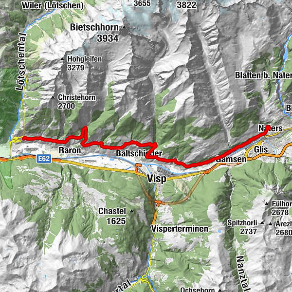
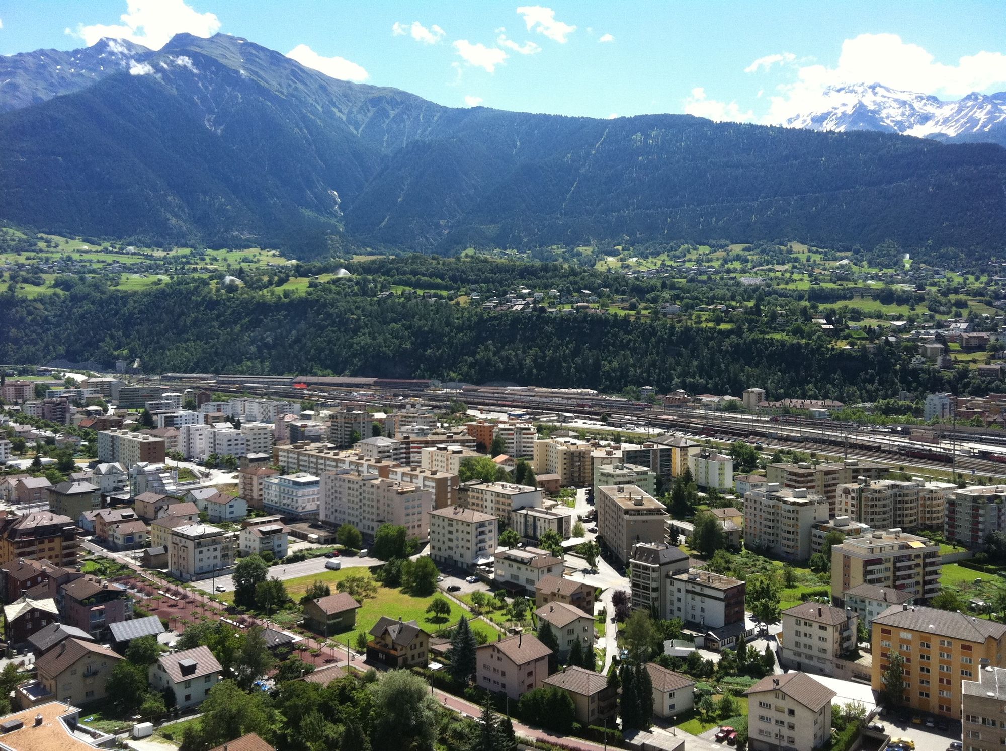
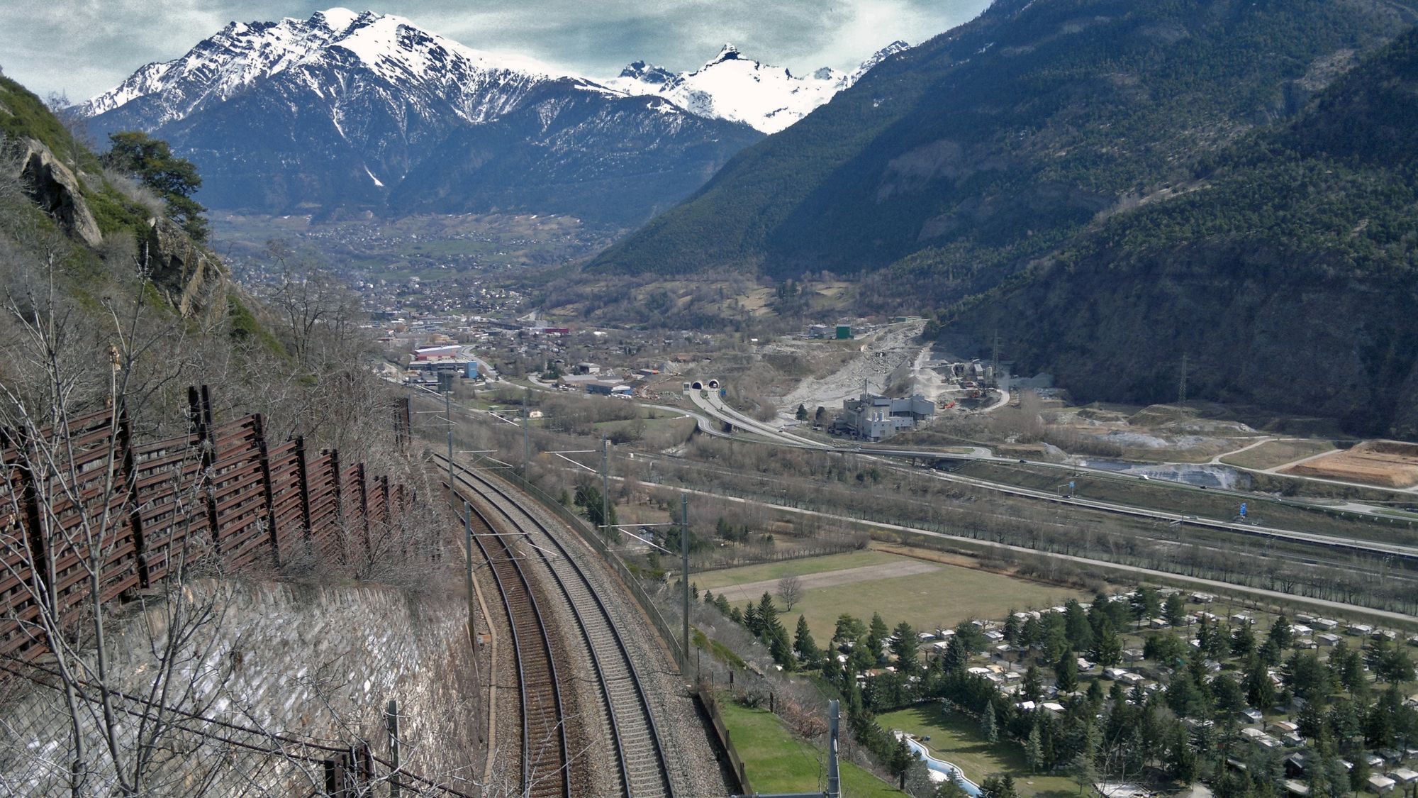
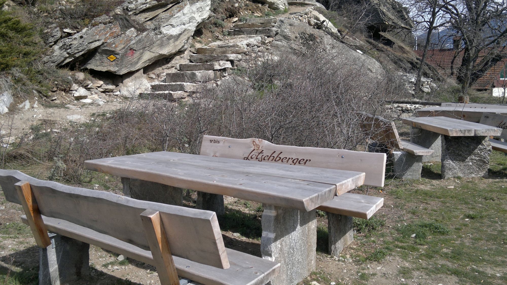
The hike leads along the Lötschberg railway line from Hohtenn to Naters. Enjoy the magnificent view of the Rhone Valley and learn about the history of the over 100-year-old railway line via information boards.
- Difficulty
-
medium
- Rating
-
- Starting point
-
Hohtenn
- Route
-
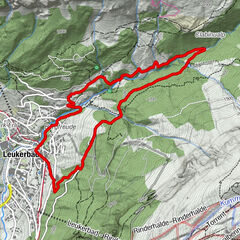
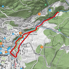
Hohtenn0.0 kmLüogju1.5 kmLidu2.1 kmChâtillon-le-Bas2.5 kmBrägji3.2 kmZum Stei3.3 kmWasserleite3.5 kmBärgbeizi Rarnerchumma4.9 kmRitzubode5.2 kmSankt German8.2 kmSt. Josef11.0 kmAusserberg11.3 kmJäuschbodo11.5 kmFischerbiel11.6 kmZengrowesteinu13.0 kmEggen15.1 kmBergsonne16.3 kmEggerberg16.4 kmEggerberg (853 m)16.8 kmBerg17.0 kmLalden18.4 kmLalden (801 m)19.2 kmBrigerbad19.8 kmBirgisch (1,093 m)23.6 kmSchlüocht24.7 kmBrig (691 m)26.0 kmMaria hilf26.5 kmNaters (673 m)26.9 km
- Best season
-
JanFebMarAprMayJunJulAugSepOctNovDec
- Description
-
The "Lötschberg", as we call the BLS railway here, is one of the most important feeder railways to the Upper Valais. The Lötschberg southern approach can be walked from Hohtenn to Naters. In Naters, the new "Lötschberger" trail leads to the Museum of the Swiss Guard and the fortress.
For the complete route of the Lötschberger from Hohtenn to Brig you should reckon with a walking time of around 8 hours.
The route can also be divided into several shorter stages.
- Directions
-
Hohtenn - Ausserberg - Eggerberg - Lalden - Naters
- Highest point
- 1,091 m
- Endpoint
-
Naters
- Height profile
-
 © outdooractive.com
 - Equipment
-
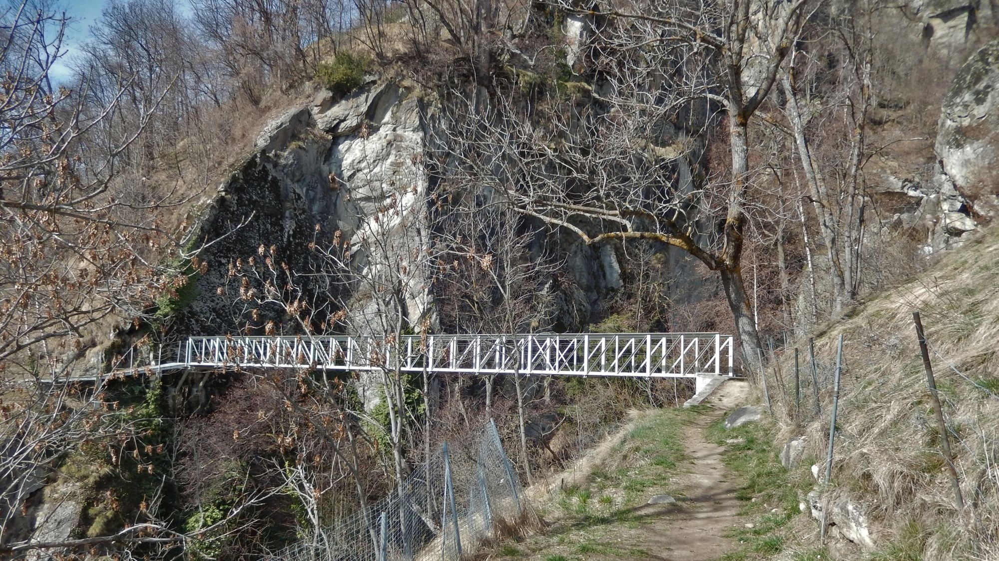
Sturdy shoes, clothing suitable for the weather, sun and rain protection, as well as sufficient supplies of food and drinks, should there be no refreshment stops or shopping facilities available or open. Although the trail is very well marked throughout, you should always have a suitable hiking map with you for safety reasons. Take sticks or other aids with you.
- Safety instructions
-
Despite the "untraceable" marking of the hiking trails, we recommend for safety reasons to always have an appropriate hiking map with you, so that you can quickly find a safe area in case of a thunderstorm or emergency, for example.
Especially in autumn, you should also be aware that leaves lying on the ground can hide bumps, roots, stones or holes in the path. After storms, trees can still fall over or branches can fall down. Especially in adverse weather conditions, muddy and slippery passages can occur on natural paths. You have to expect this kind of path obstruction when you go on a hike.
Not all rocks or precipices are secured with ropes or railings. In some cases surefootedness is required. If you think that certain sections of the trail are not passable for you, you should avoid them.
- Tips
-
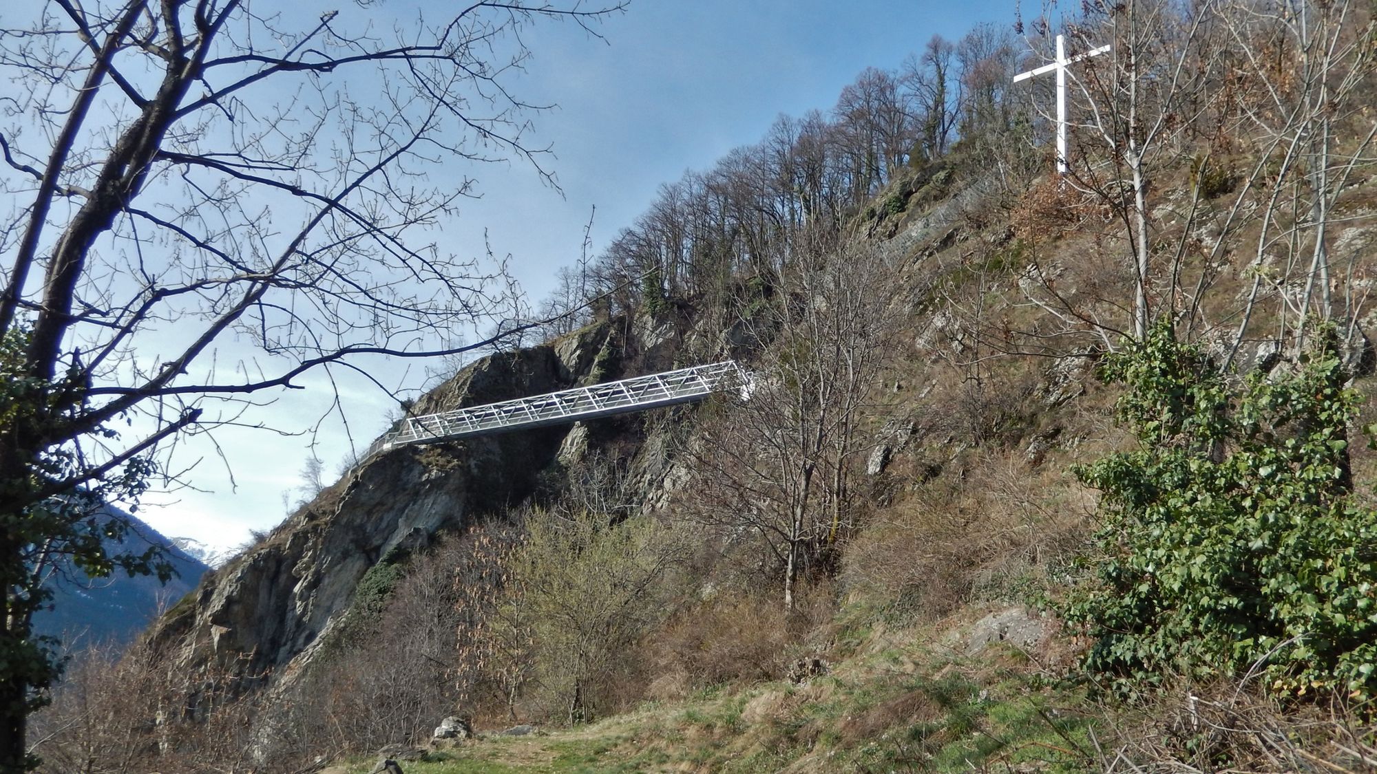
- The Guard and Fortress Museum in Naters is well worth a visit
- Enjoy the beautiful and unique view over the entire Rhone Valley
- Directions
-
Arrival by car
From Western Switzerland: A9 Lausanne - Vevey, or North Western Switzerland: A12 Bern - Vevey: A9 - Sierre: main road Sierre - Brig
From the northwest of Switzerland: A6 Berne - Thun - Spiez: main road Spiez - Kandersteg (car transport Lötschberg tunnel) - Goppenstein - Gampel - Brig
From Eastern and Central Switzerland: Andermatt - Realp (year-round Furka car transport; in summer via Furka Pass) - Oberwald - Brig
From Ticino (in summer): Airolo - Nufenenpass - Ulrichen - Brig
Or via Centovalli - Domodossola - Simplon pass - Brig
From Italy (Aosta, Mt. Blanc tunnel): Aosta - Grand Saint Bernard tunnel (over the Pass in summer) - Martigny: A9 freeway - Sierre: Sierre - Brig main road
Or via Domodossola - Simplon pass - Brig
- Public transportation
- Parking
-
You can park your car in the multi-storey car park in Brig. Or you can park it in the car park in Naters next to the Migros.


-

-
AuthorThe tour Lötschberger southern approach Hohtenn - Naters is used by outdooractive.com provided.


General info
-
Oberwallis
1872
-
Rund um Visp
849
-
Baltschieder
164