Höhenweg Almagelleralp im Saastal

Logo Höhenweg Almagelleralp im Saastal
Tour data
9.79km
1,899 - 2,519m
Distance
634hm
141hm
Ascent
02:51h
 
Duration
Brief description

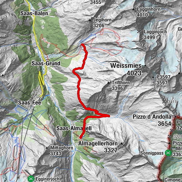
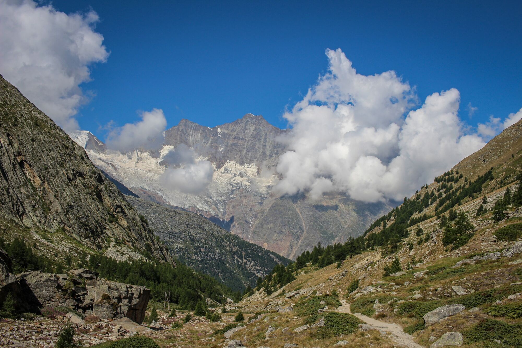
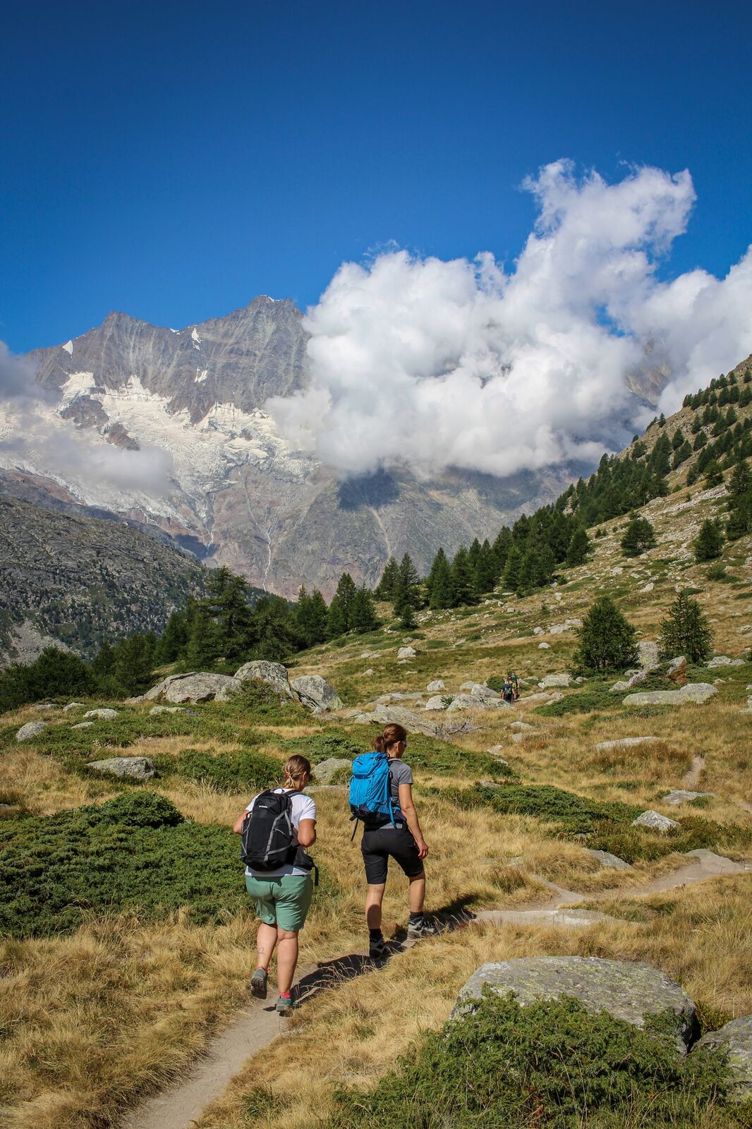
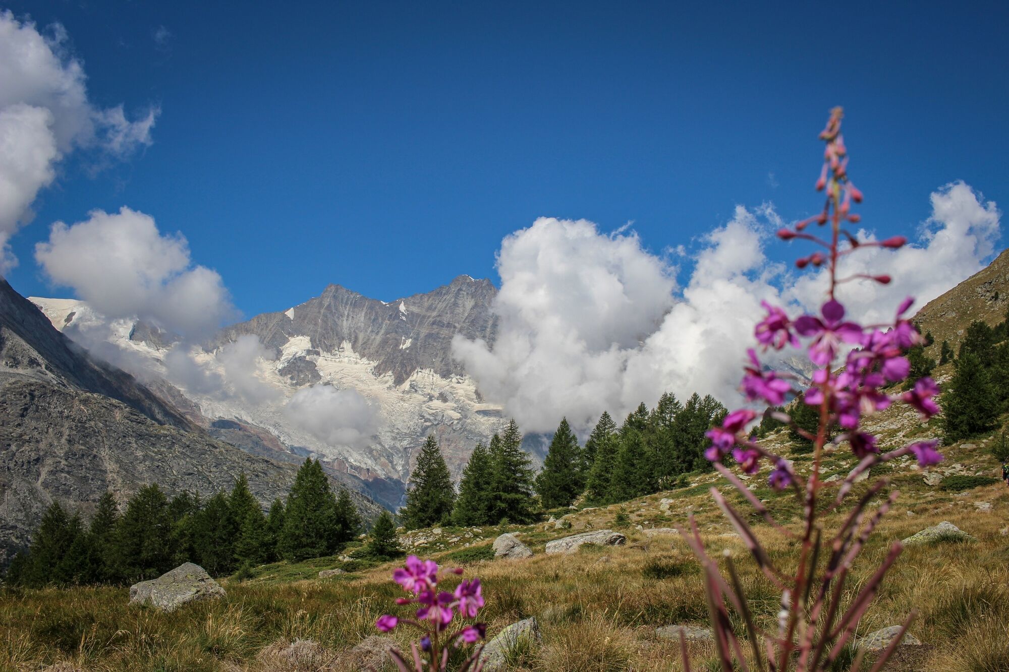
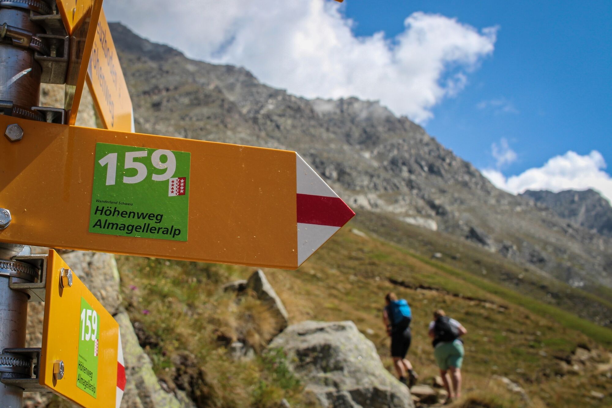
Wunderschöne Panoramatour zwischen den 4.000ern des Saastals

Route
Furggstalden (1,905 m)
Alpina
0.1 km
Almagelleralp
2.9 km
Kreuzboden (2,405 m)
9.8 km

Highest point
2,519 m
Height profile
© outdooractive.com

Author

Overall rating

5

0

%

4

0

%

3

0

%

2

0

%

1

0

%

Error
An error has occurred. Please try again.
Thank you for your review

Rating has been deleted

GPS Downloads
  • GPX GPS Exchange Format (XML)
  • KML Google Earth, Google Maps
QR Download Codes for Mobile Phones
Other tours in the regions

Popular tours in the area

Moosalp – Augstbordhorn

difficult Hiking
5.97km | 946hm | 05:36h

Saas-Fee - Gemsweg - Hannig - Plattjen

Hiking
6.89km | 608hm | 03:30h

Europaweg Grächen - Europahütte - Zermatt

difficult Hiking
39.93km | 3300hm | 16:00h

Höhenweg Allmagelleralp

medium Hiking
10.96km | 140hm | 03:15h