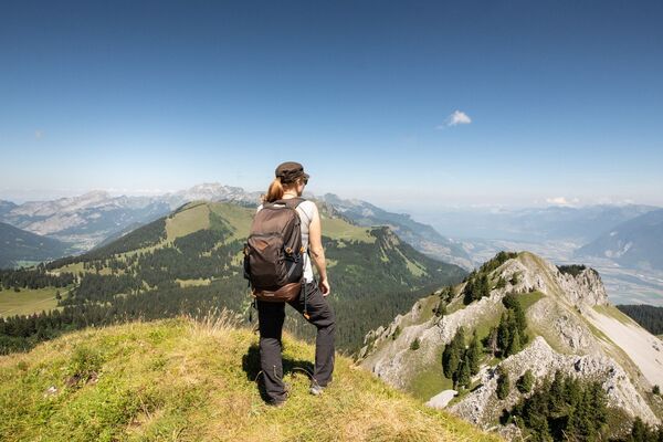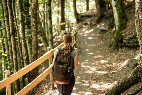

- Brief description
-
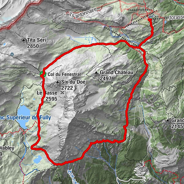
Exhilarating high loop around the flanks of the Grand Chavalard (2,899 m). Highlights: scenic chairlift ride, crossing of the Col de Fenestral, Fully alpine lakes and spectacular views.
- Difficulty
-
medium
- Rating
-
- Starting point
-
Jorasse (chairlift summit station)
- Route
-
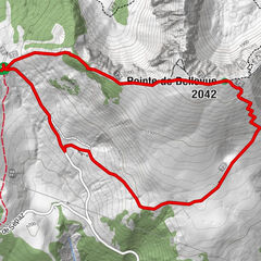
Restaurant d'altitude de JorasseJorasseCabane du Fenestral4.6 kmLui d'Aout (1,957 m)13.3 kmRestaurant d'altitude de Jorasse14.8 kmJorasse14.8 km
- Best season
-
JanFebMarAprMayJunJulAugSepOctNovDec
- Description
-
The Grand Chavalard (2,899 m) is the dramatic peak towering over Fully. This hike traces a high loop around the summit, between altitudes of about 1,850 and 2,450 m.
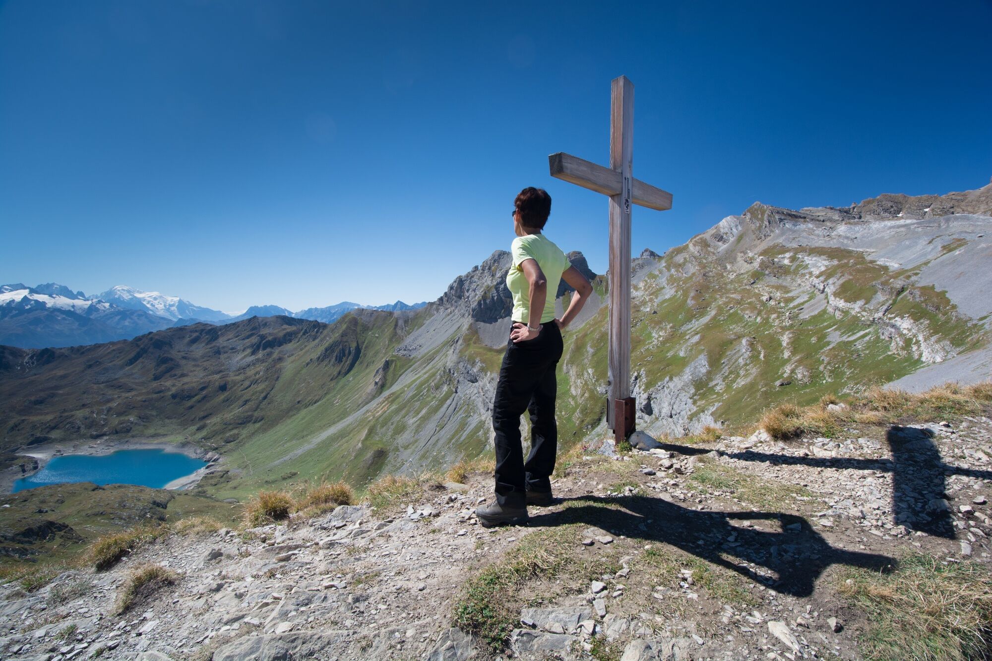
Starting at the top of the Jorasse chairlift, the trail leads through a sequence of magnificent alpine landscapes. The views are spectacular, including from the highest point of the circuit, the Col de Fenestral (2,453 m): over the Fully lakes to the Mont-Blanc massif in the background.
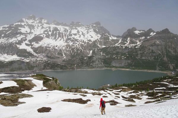
From here, the trail leads down into the bowl, passing close to the largest lake, the Lac Supérieur de Fully (2,128 m) – part of a pioneering hydroelectric scheme that began operation in 1915. The hydropower station fed by the reservoir lies way down in the Rhône valley, near Fully, and for nearly 20 years boasted the greatest hydraulic head of any such plant in the world (1,643 m).
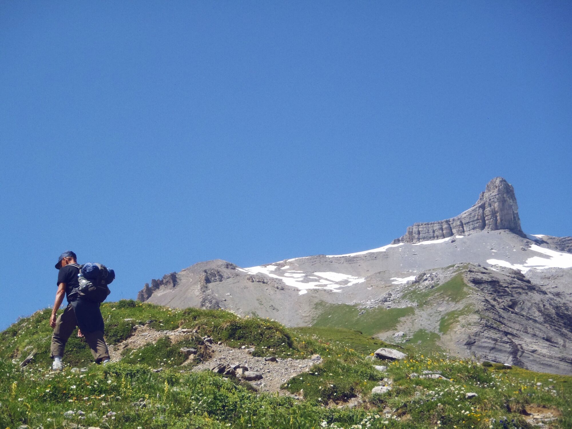
Further along the trail hikers get a thrilling impression of this drop. As the path leads across the steep southern flanks of the Grand Chavalard, walkers enjoy breathtaking views all along the Rhône valley – and straight down to Fully.
These slopes are the setting for one of the most dramatic sports events in Valais: the “Kilomètre Vertical de Fully”. This race of exactly 1,000 vertical metres starts at the power station and follows the tracks of a disused funicular railway up to an altitude of 1,500 m.
The route climbs through vineyards, meadows and forests, across a short bridge and even through a 50-metre tunnel. With gradients of 60% and more, this is the world’s steepest – and therefore fastest – vertical kilometre race.
Our trail, meanwhile, is much gentler. After traversing the southern slopes of the Grand Chavalard, it turns north to complete the loop, before a final short climb back to the chairlift summit station.
Highlights:
Ever-changing sequence of alpine landscapes with superb views – Mont-Blanc, the 4,000-metre peaks of Valais and the Rhône valley Choice of refreshment stops – 3 mountain refuges en route Thermal spa in Ovronnaz – to soothe sore legs - Directions
-
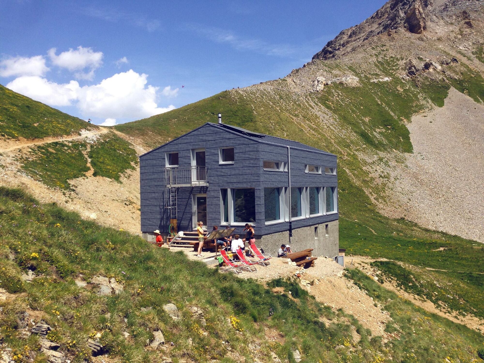
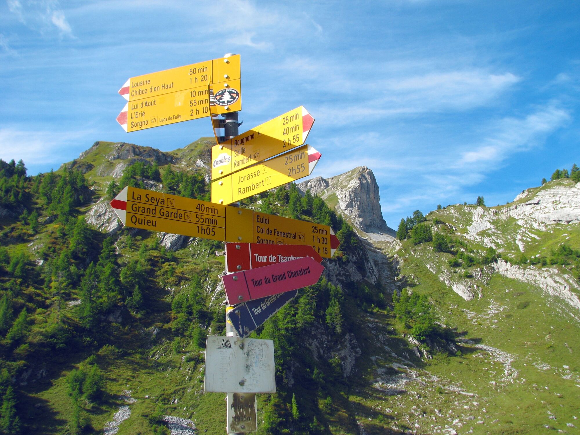
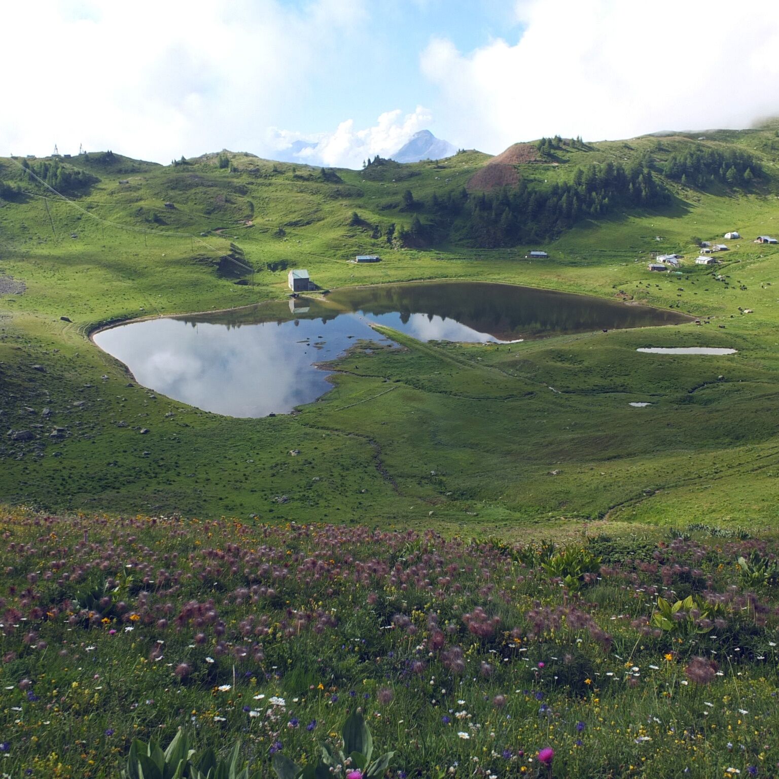
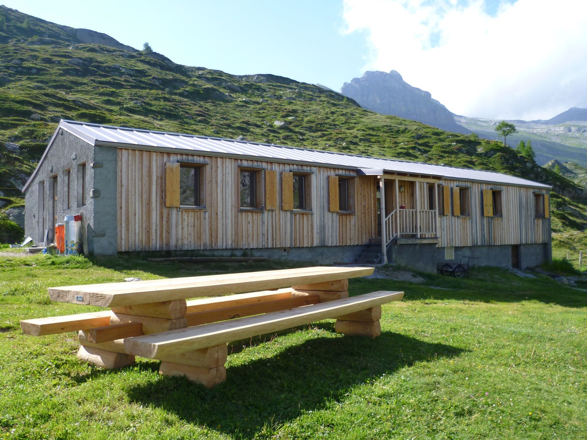
Start at the top of the Jorasse chairlift (1,940 m), where the Restaurant de Jorasse has a large panoramic terrace and children’s playground. Climb gently to Petit Pré, where the loop proper begins. Follow the loop anticlockwise, starting with a gentle climb to the pastures of Euloi, which turn into a magnificent lake when the snows melt in spring. The path then climbs more steeply to the Col de Fenestral and the welcoming Cabane du Fenestral.
The trail drops down past the larger of the Fully lakes to the Cabane de Sorniot (2,064 m) before climbing out of the bowl to traverse the southern flanks of the Grand Chavalard. At L’Erié, the trail turns northwards, eventually passing a third mountain refuge – the Gîte de Lui d’Août (1,957 m) – just before completing the loop at Petit Pré. The trail then leads back along the spur to the summit station of the of Jorasse chairlift.
- Highest point
- 2,445 m
- Endpoint
-
Jorasse (chairlift summit station)
- Height profile
-
 © outdooractive.com
 - Equipment
-
We recommend:
good footwear clothing suitable for the weather: always carry a waterproof jacket hat or cap sunscreen bottle for water picnic camera binoculars (optional) hiking poles (optional) printout of this hike (click «Print» icon, to download)For certain walks:
Swimwear - Safety instructions
-
Use of the trails and the information on this website is at hikers’ own risk. Local conditions may entail changes to routes. Valais/Wallis Promotion accepts no liability for the accuracy and completeness of information on this website.
For all hikes:
Bring a map. Download full description of this route including large-scale map by clicking on “Print” icon, top right of this page. Use marked trails only, and observe all signposting – for your own safety, to safeguard grazing animals and to avoid disturbing wildlife. Close gates after passing through. Please be considerate to other trail users, and to the plants and animals. Do not leave any waste in nature.For mountain hikes:
Take extra care protecting yourself from the sun at altitude. UV radiation can be exceptionally strong, even in cloudy weather. Plan hike carefully: take into consideration fitness level of each participant, weather forecast and season. Weather conditions can change quickly in the mountains, without warning. Appropriate clothing is therefore essential, along with adequate supplies of food and water. In uncertain weather, turn back in good time.For high-altitude hikes:
Inform others of the route you plan to take. Whenever possible, avoid going alone. Do not venture onto glaciers without a mountain guide. Take note of the warning signs that point out the constant danger in river beds and along watercourses below dams and reservoirs: water levels may rise rapidly without warning. - Tips
-
Fully’s historical hydropower station, framed by vineyards, doubles up as a theatre/music venue called La Belle Usine: catch a show.
- Additional information
- Directions
-
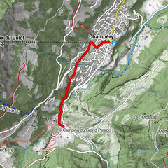
A9 motorway, exit 24 (Riddes). Follow signs to Leytron, then Ovronnaz.
- Public transportation
-
Regional train from Sion or Martigny to Riddes. From Riddes station, take the postal bus to Ovronnaz. The Jorasse chairlift is about 400 m walk from the bus stop. All information about train and bus timetables can be found at sbb.ch.
- Parking
-
Large car park (free) at bottom station of Jorasse chairlift. Follow the car park routeing in Ovronnaz.
-

-
AuthorThe tour Tour du Grand Chavalard is used by outdooractive.com provided.


General info
-
Alpes Vaudoises
997
-
Verbier
334
-
Ovronnaz
57