- Brief description
-
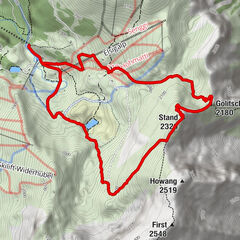
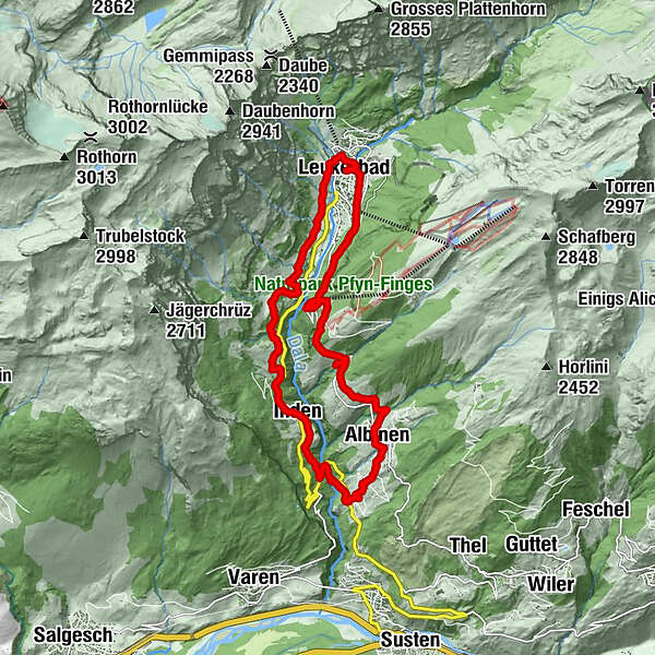
Leukerbad-Inden-Tschingern-Albinen-Leukerbad
- Difficulty
-
medium
- Rating
-
- Route
-
Loèche-lès-Bains (1,402 m)Birchen2.3 kmRestaurant Birchen2.3 kmBodmen3.8 kmBodmenstübli3.9 kmMiljüt5.0 kmInden6.2 kmRumeling7.4 kmTschingere8.8 kmPfarrkirche Heiliger Bruder Klaus10.2 kmGodswärgjistubu10.2 kmAlbinen (1,300 m)10.3 kmRastplatz Oberdietu11.6 kmDorben (1,361 m)12.7 kmKapelle Maria Heimsuchung12.7 kmFlaschen14.2 kmHotel Restaurant Flaschen14.3 kmKirche Maria Hilf17.5 kmLoèche-lès-Bains (1,402 m)17.7 km
- Best season
-
JanFebMarAprMayJunJulAugSepOctNovDec
- Description
-
Leukerbad - Birchen - Bodmen - Inden - Rumeling - Tschingern - Albinen - Dorben - Leukerbad
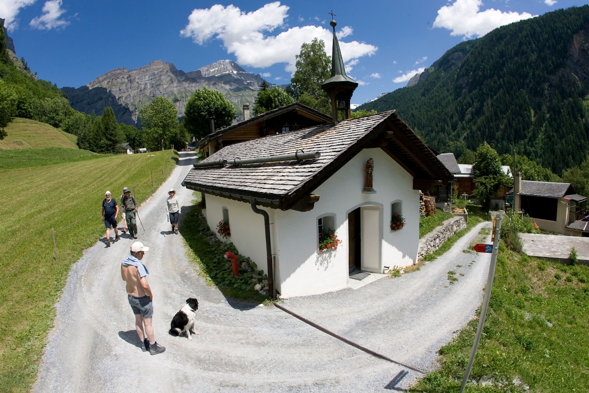
5 Villages, 8 chapels, a trail for body, mind and soul - Directions
-
Tip: book for chapel trail (available at Leukerbad Tourism)
- Highest point
- 1,547 m
- Endpoint
-
Leukerbad
- Height profile
-
 © outdooractive.com
- Author
-
The tour Chapel Trail is used by outdooractive.com provided.
GPS Downloads


Other tours in the regions
-
Oberwallis
1877
-
Leuk/Leukerbad
1033
-
Inden VS
286