Anzère: Le sentier des Bouquetins: wandeling aan la Grande dixence

Hiking

- Brief description
-
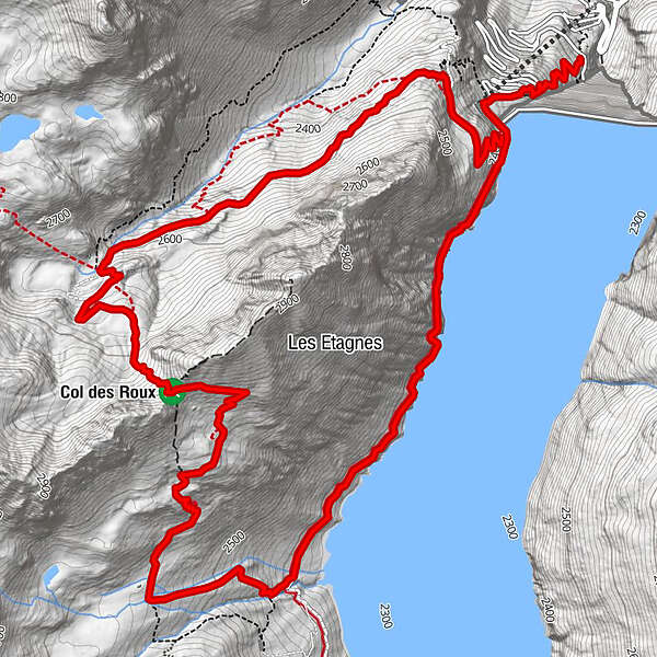
Le sentier des Bouquetins
- Difficulty
-
medium
- Rating
-
- Route
-
Col des Roux (2,780 m)5.3 kmCol des Roux (2,804 m)5.5 kmCabane de Prafleuri6.4 km
- Highest point
- 2,800 m
- Height profile
-
 © outdooractive.com
- Author
-
The tour Anzère: Le sentier des Bouquetins: wandeling aan la Grande dixence is used by outdooractive.com provided.
GPS Downloads


Other tours in the regions
-
Unterwallis
1201
-
Evolène
651
-
Arolla
91