
- Brief description
-
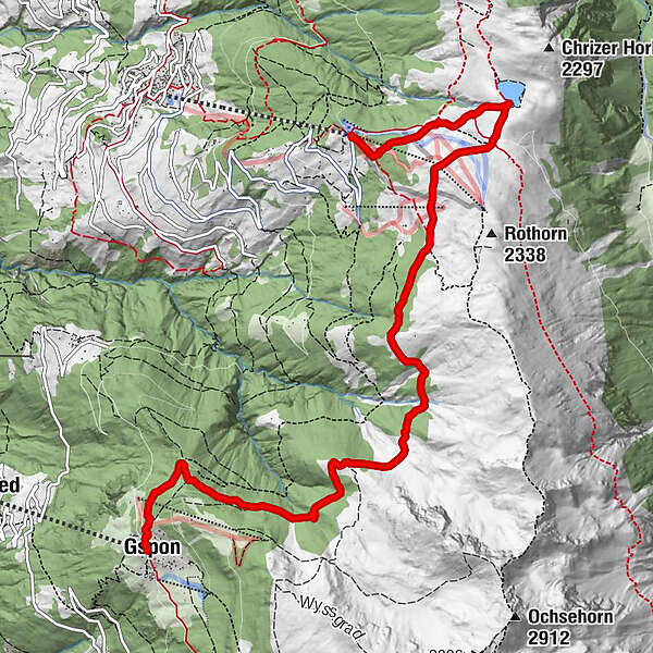
Auf dem Weg hat man eine schöne Sicht in das Vispertal. Eine reiche Alpenflora und alte Arvenwälder können Sie entlang dieses Weges bewundern. Sie passieren das Naturwaldreservat Sädolwald.
- Difficulty
-
medium
- Rating
-
- Route
-
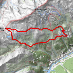
GiwSädolti5.7 kmGspon8.6 kmAlpenblick8.6 km
- Best season
-
JanFebMarAprMayJunJulAugSepOctNovDec
- Highest point
- 2,203 m
- Endpoint
-
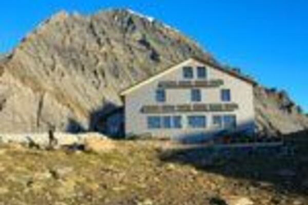
Bergstation Gspon
- Height profile
-
 © outdooractive.com
- Author
-
The tour Höhenweg Visperterminen – Gspon is used by outdooractive.com provided.
GPS Downloads


General info
Refreshment stop
Flora
A lot of view
Other tours in the regions
-
Oberwallis
1877
-
Rund um Visp
848
-
Visperterminen
186