

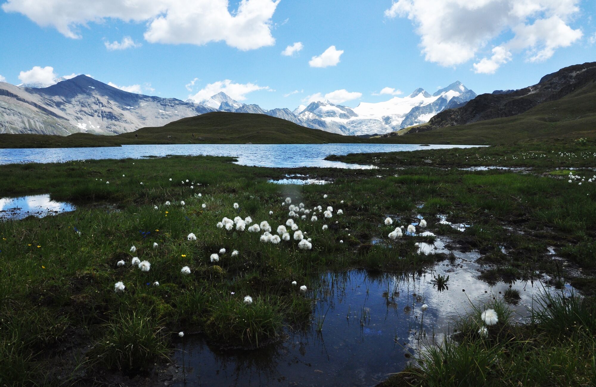
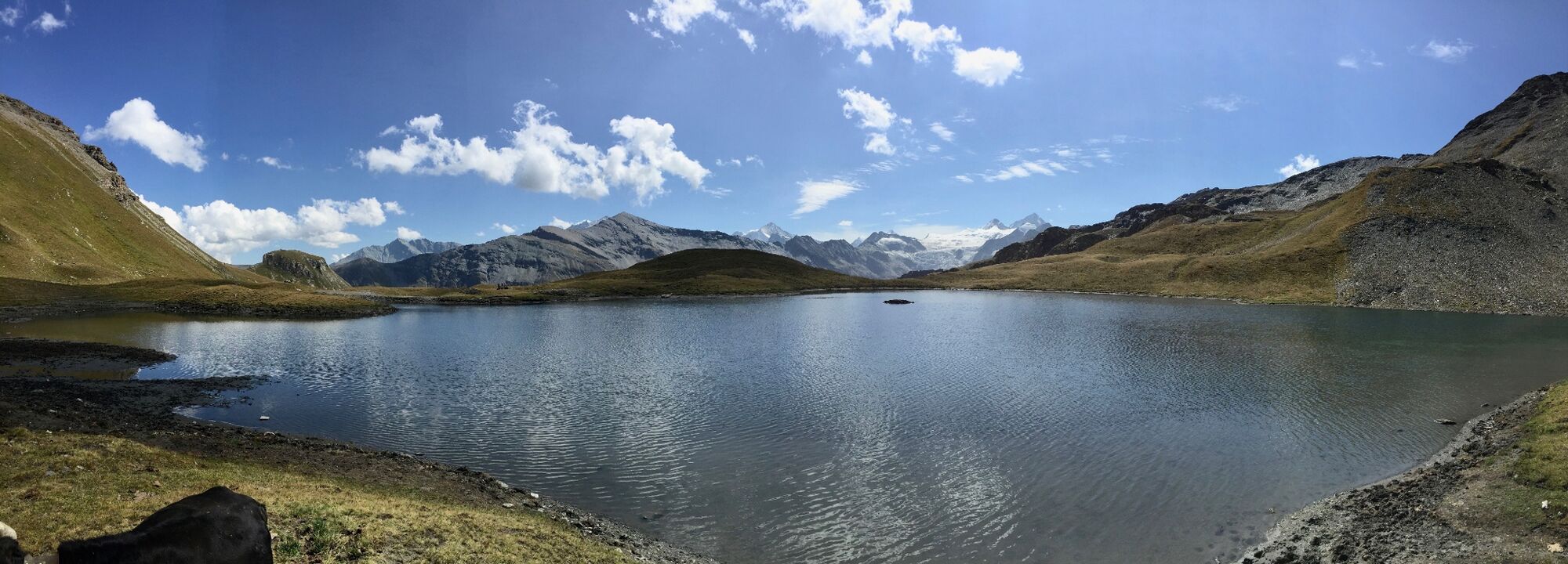
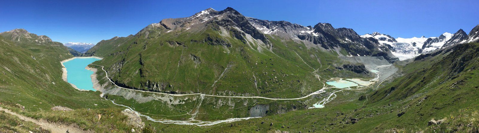
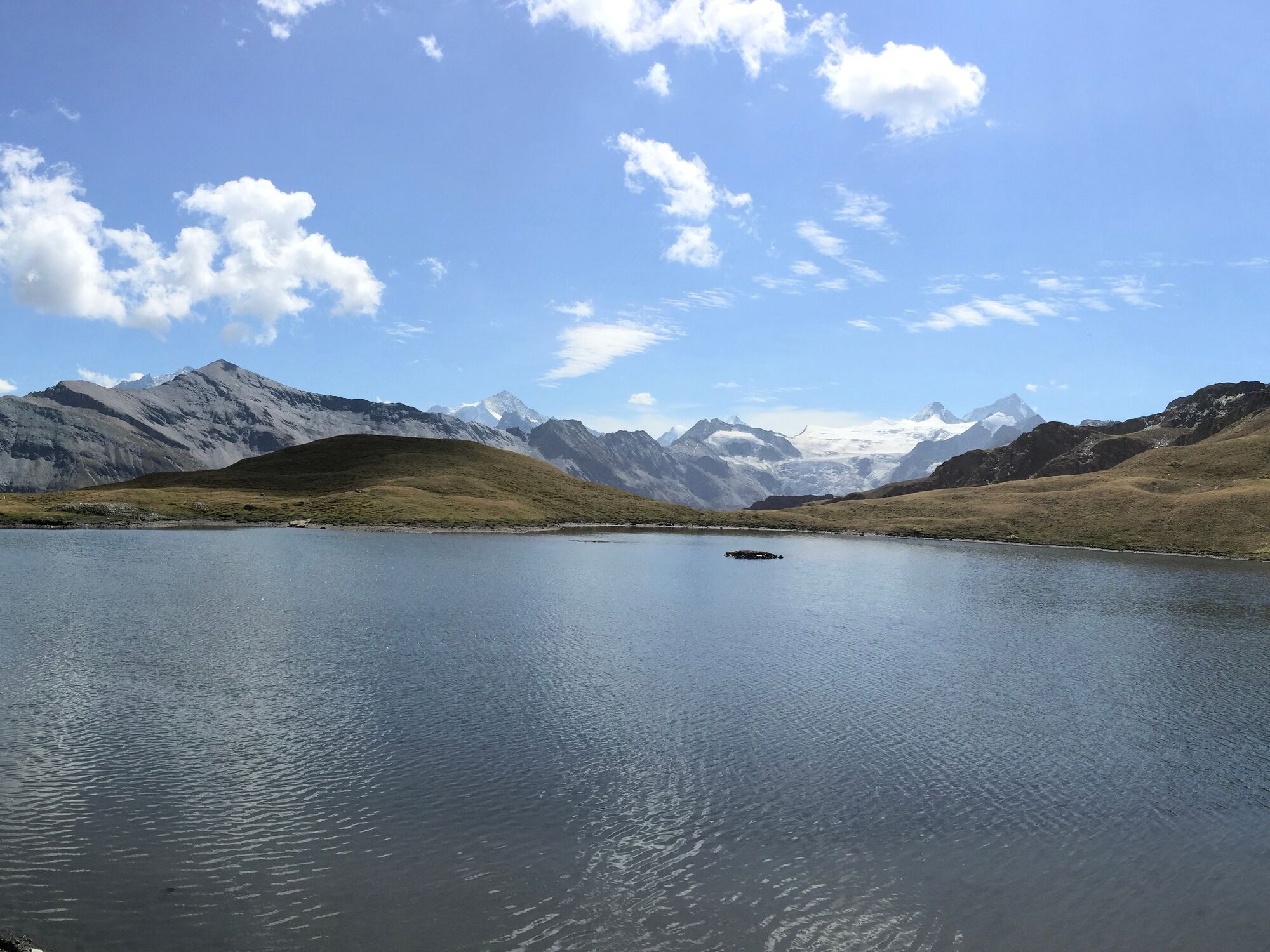
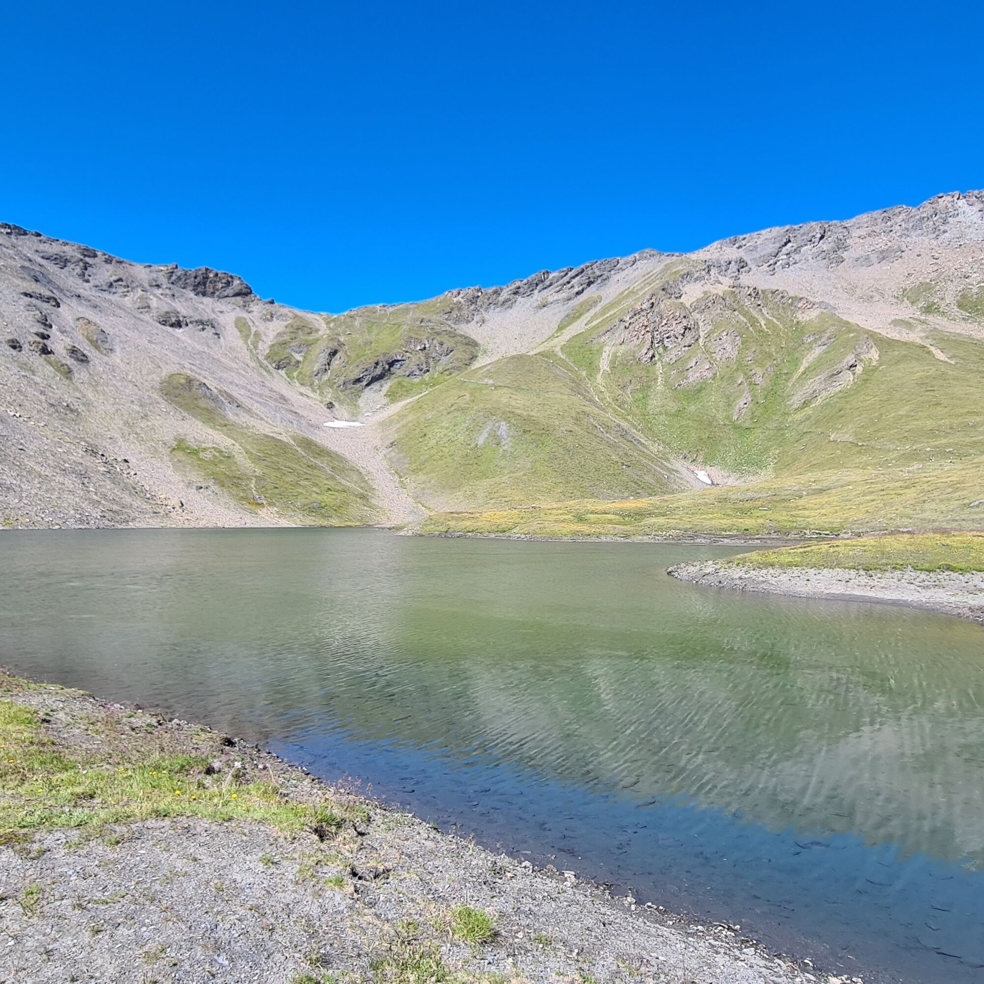
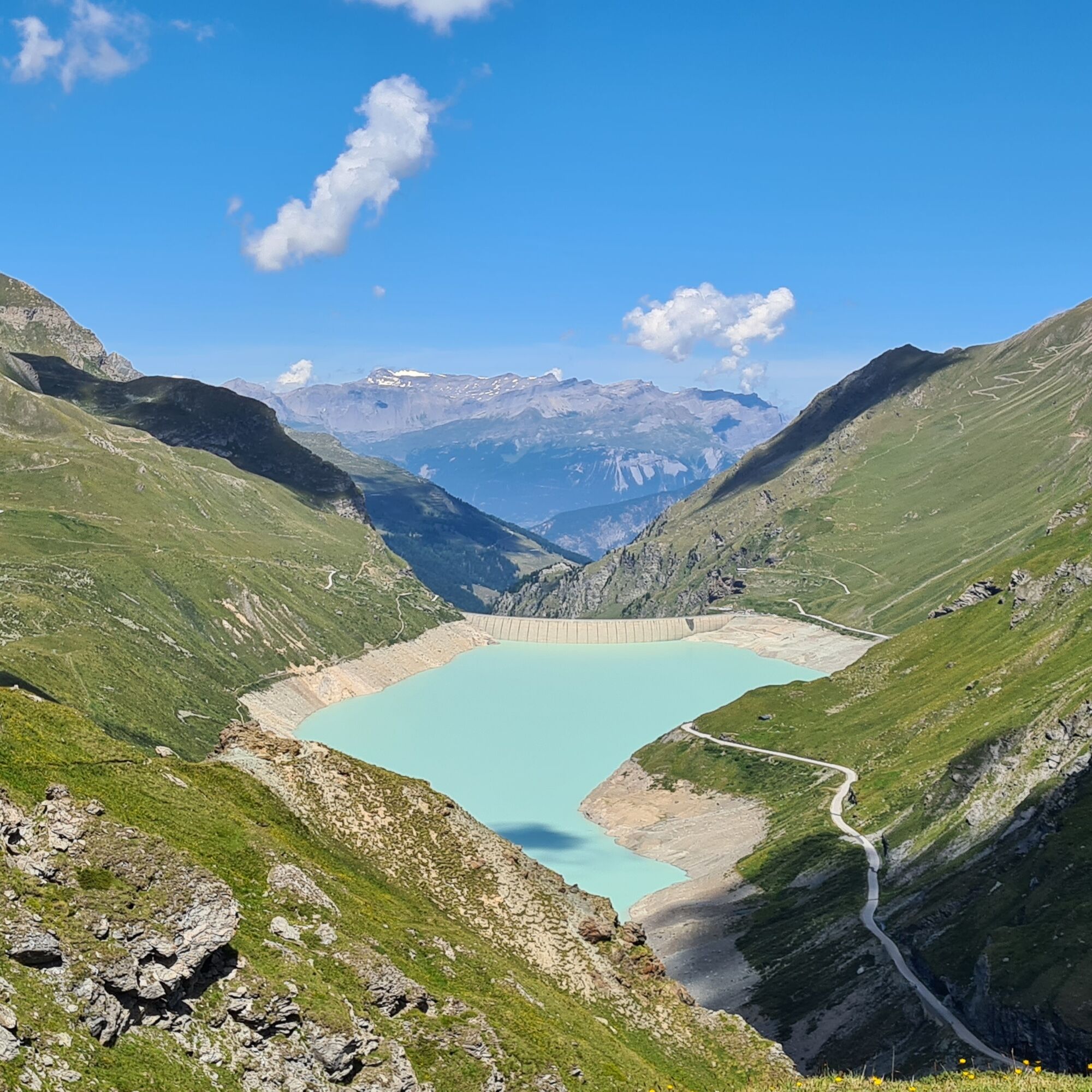
© Intersoc VZW - Joris Hollebosch

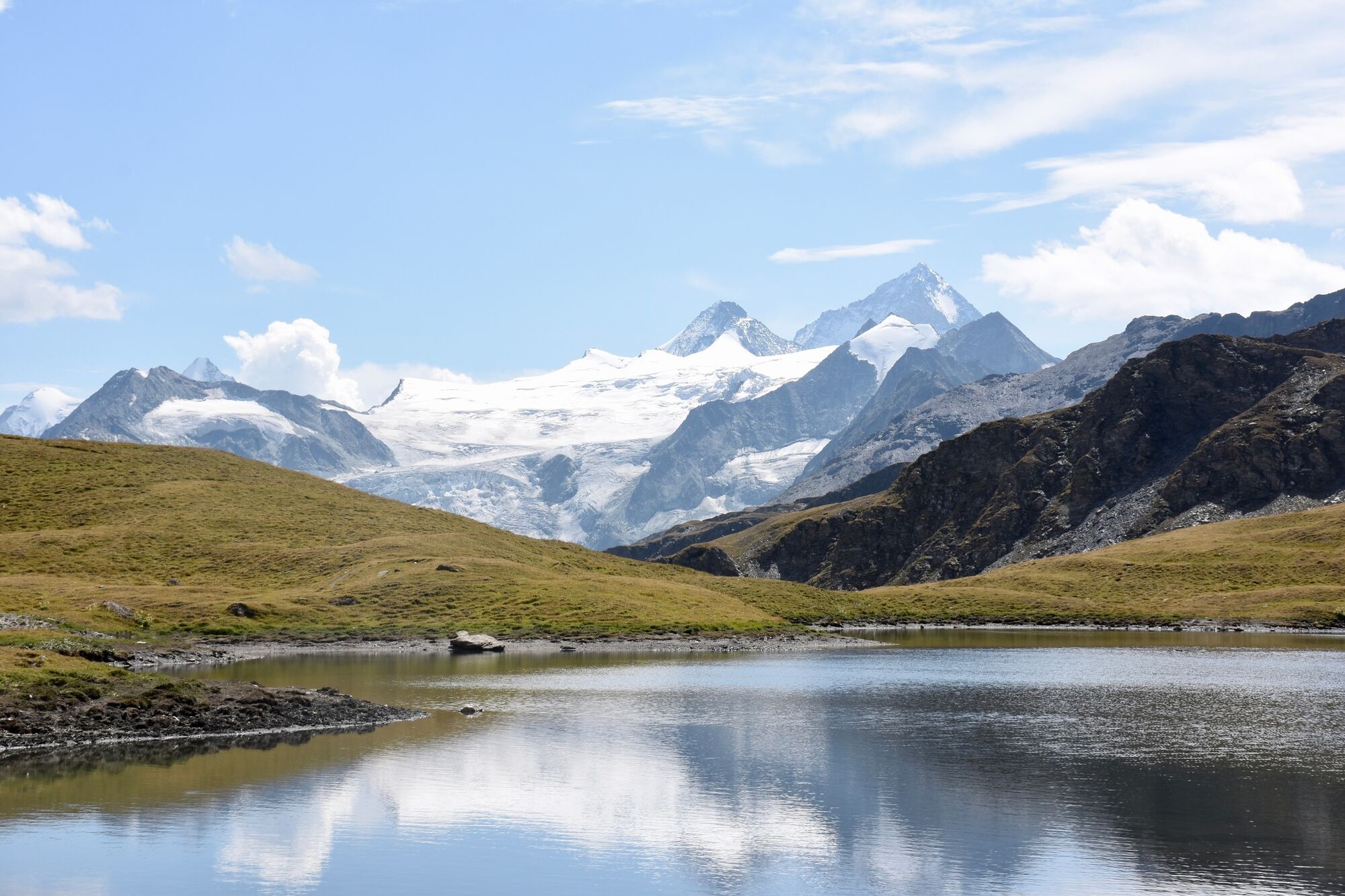
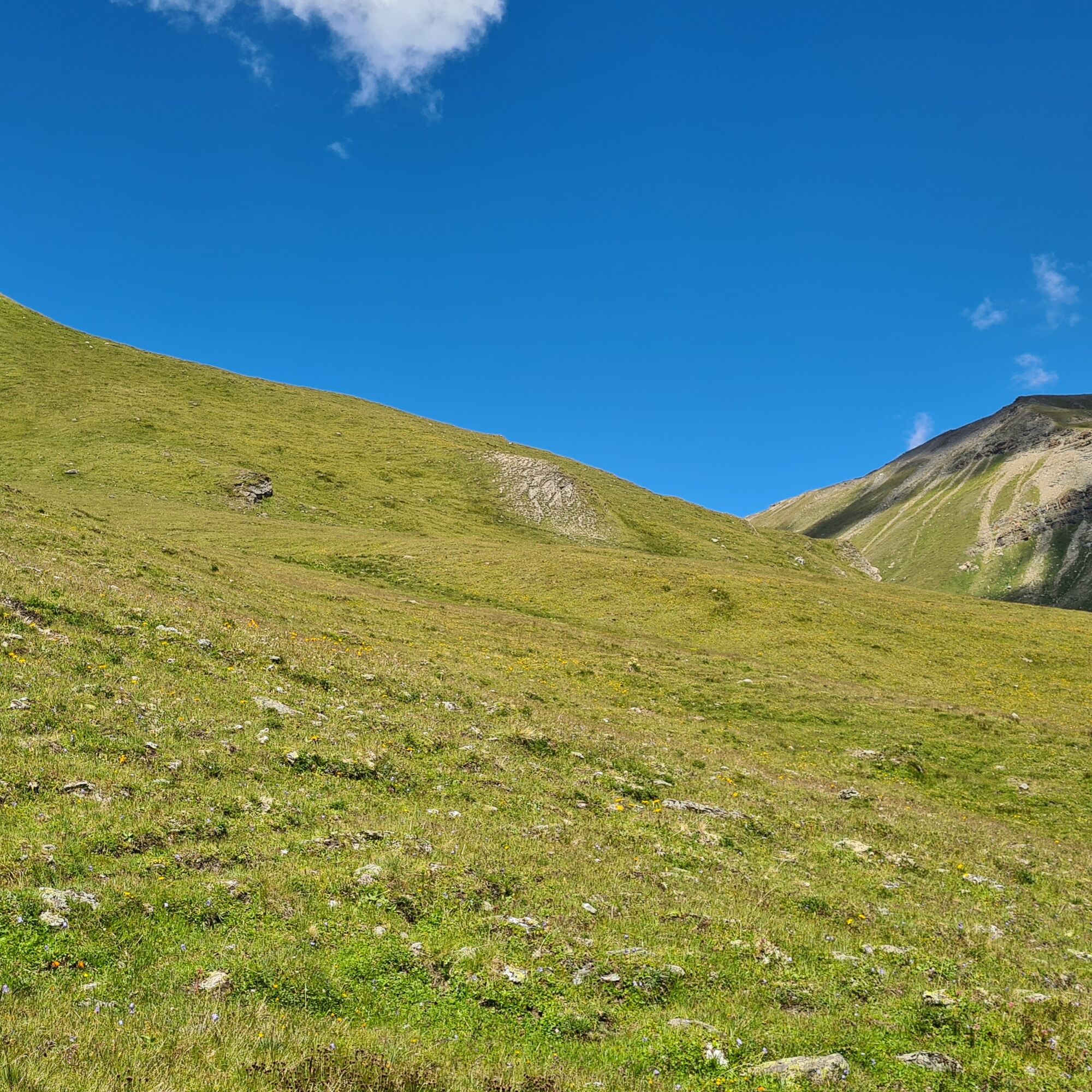
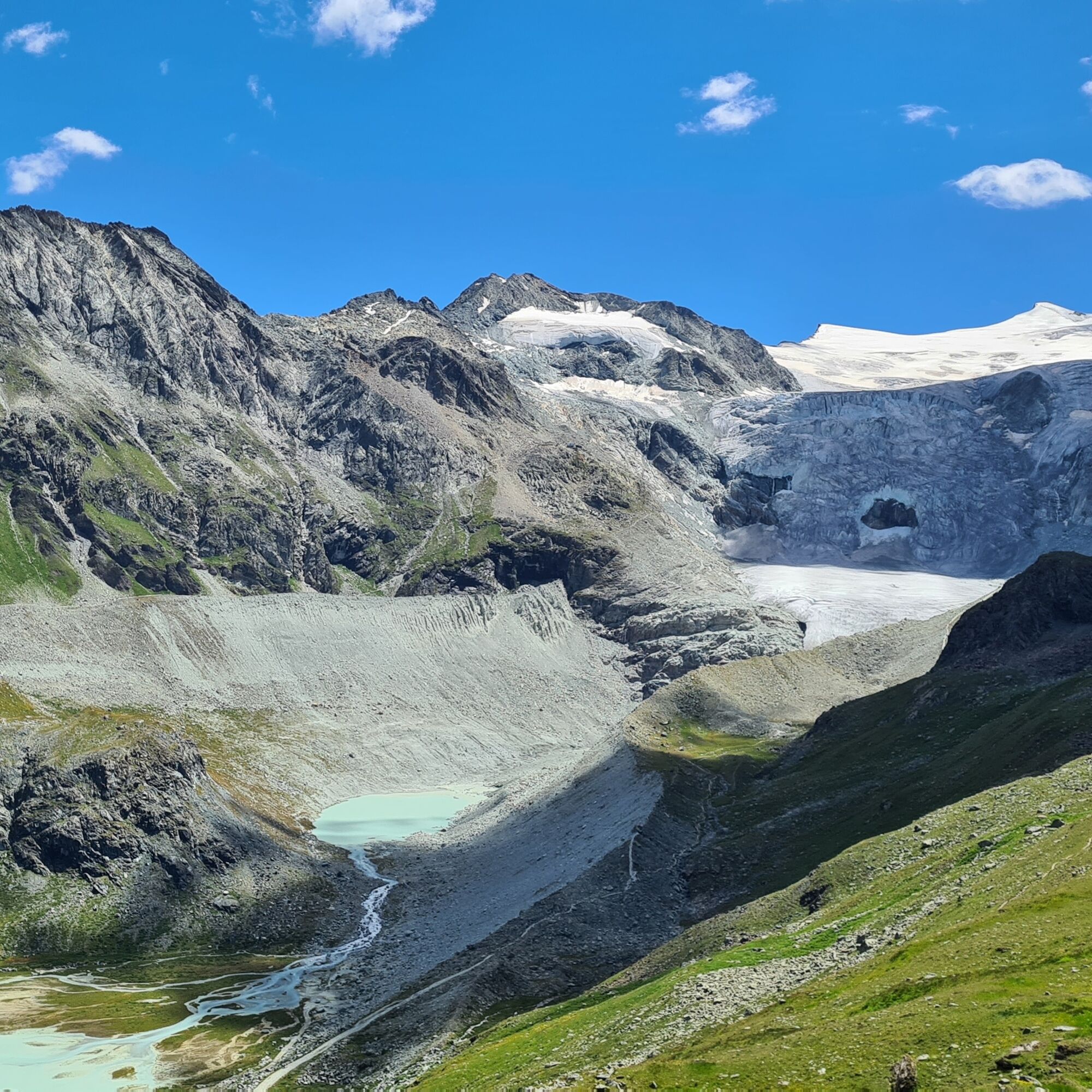
© Intersoc Belgium - Joris Hollebosch

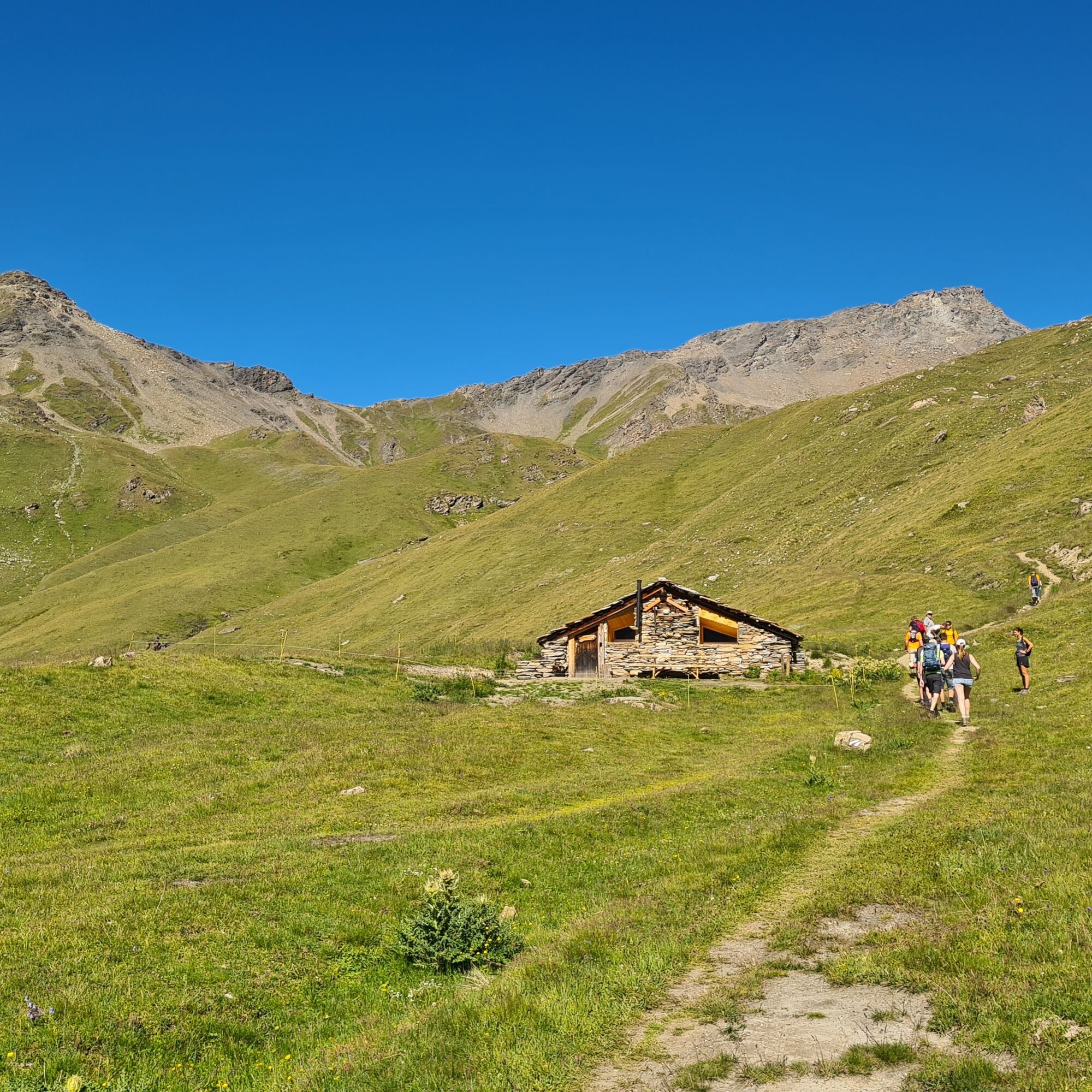
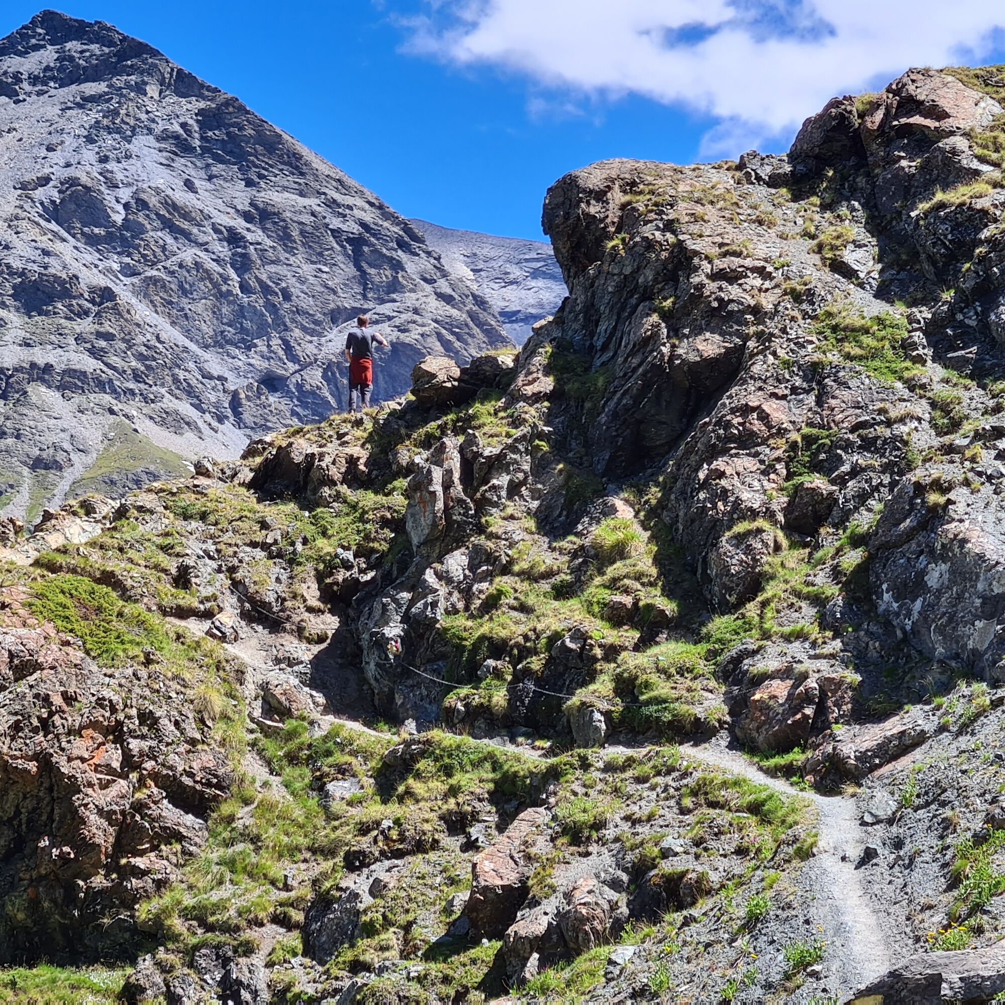
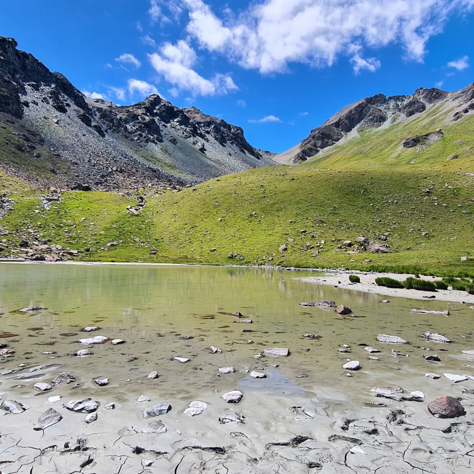
© Intersoc Belgium - Joris Hollebosch

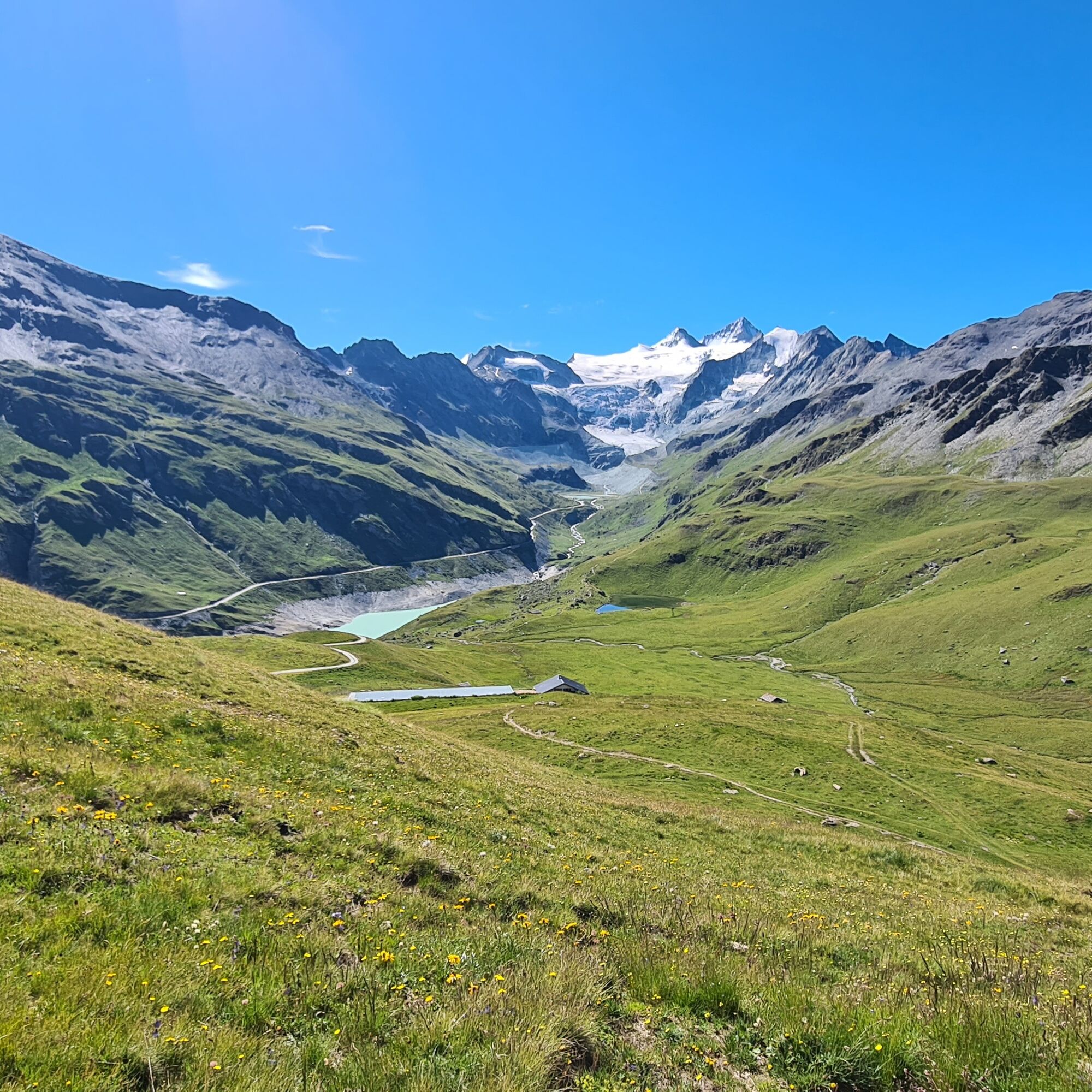
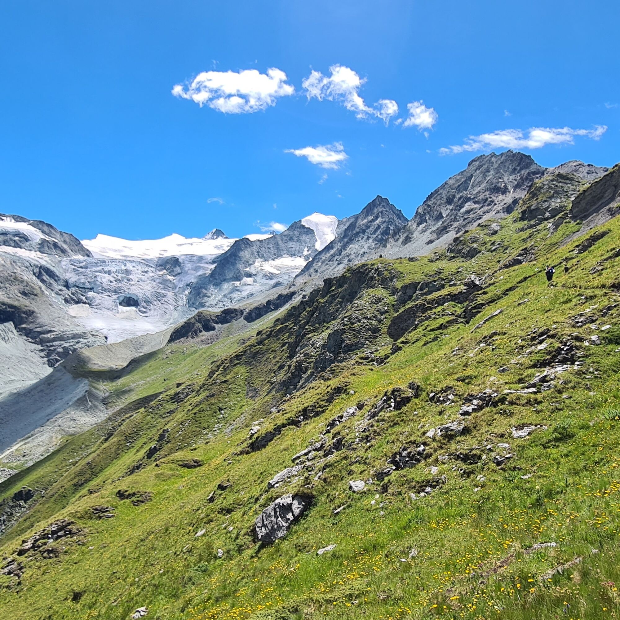
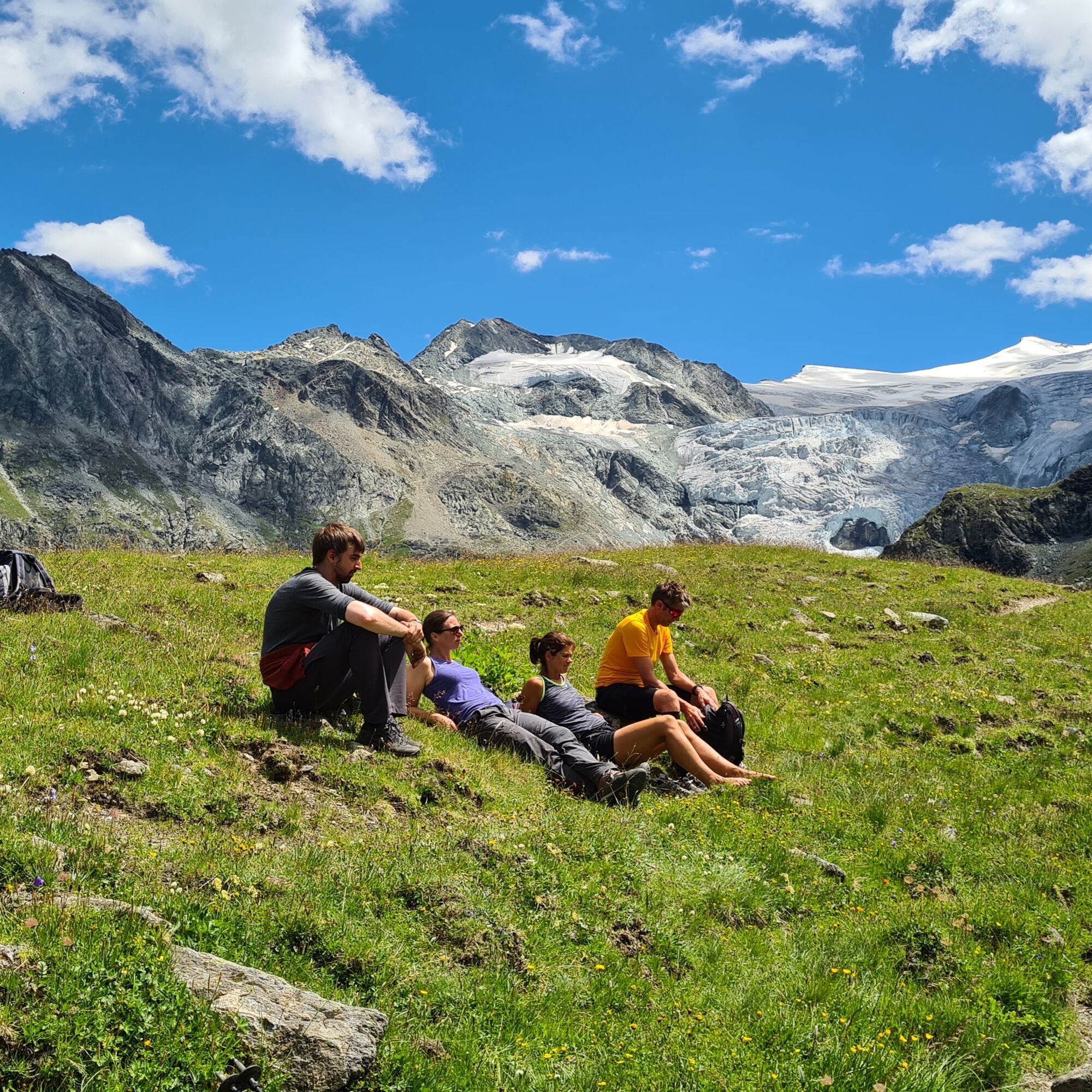
© Intersoc Belgium - Joris Hollebosch

© Intersoc VZW - Joris Hollebosch

© Intersoc VZW - Joris Hollebosch

© Intersoc VZW - Joris Hollebosch

© Intersoc VZW - Joris Hollebosch

© Intersoc VZW - Joris Hollebosch

© Intersoc VZW - Joris Hollebosch

- Brief description
-
uitbreiding van Tour 2500
- Difficulty
-
medium
- Rating
-
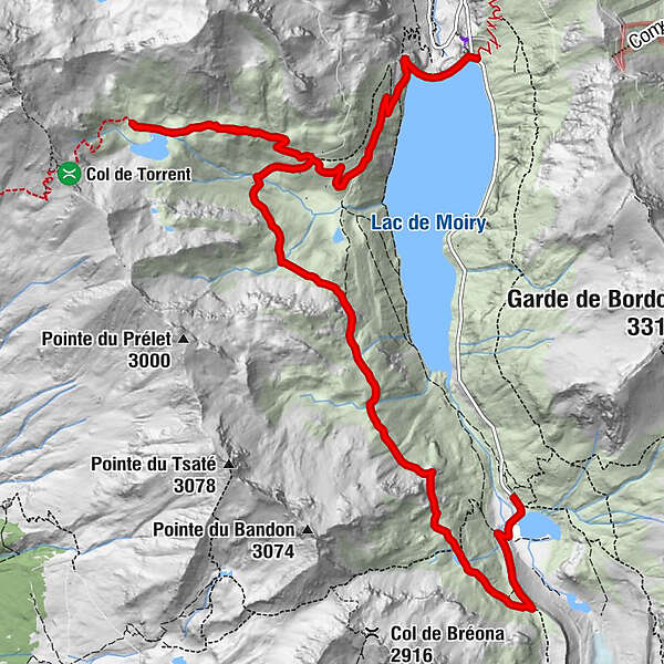
- Route
-
Clems & Fabs0.1 km
- Highest point
- 2,704 m
- Height profile
-
 © outdooractive.com
- Author
-
The tour Zinal: Moiry Barrage - Lac des Autannes - Moiry Glacier is used by outdooractive.com provided.
GPS Downloads


Other tours in the regions
-
Unterwallis
1208
-
Val d'Hérens
660
-
Grimentz / St-Jean
321


")
