- Difficulty
-
easy
- Rating
-
- Starting point
-
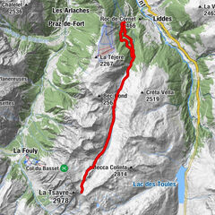
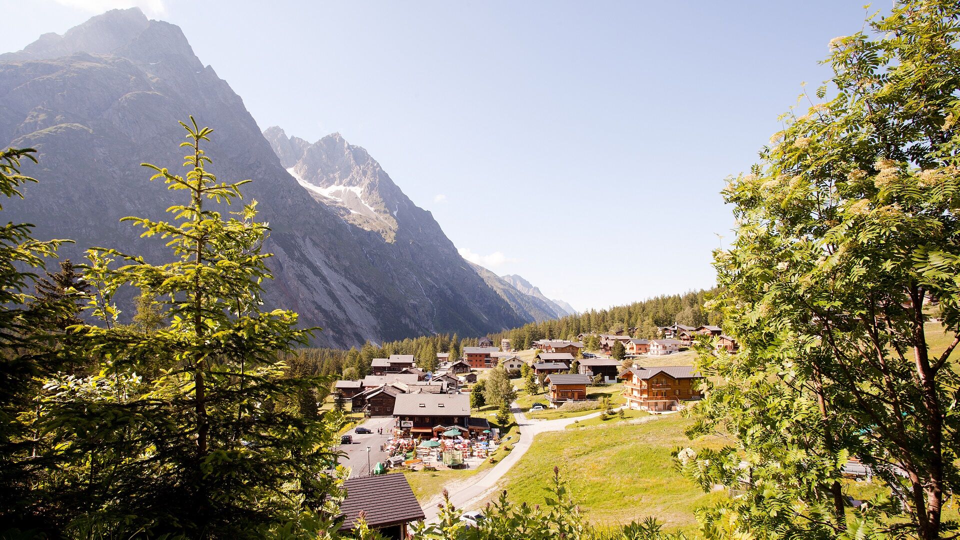
La Fouly
- Route
-
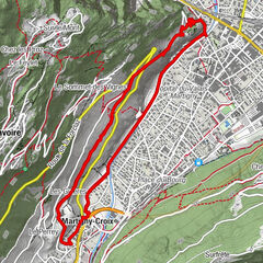
La Fouly0.0 kmAuberge des Glaciers0.0 kmL'Amône1.6 kmPrayon3.6 kmLa Verne4.4 kmAuberge des Glaciers7.8 kmAuberge de la Fouly7.8 kmLa Fouly7.9 km
- Best season
-
JanFebMarAprMayJunJulAugSepOctNovDec
- Description
-
The routes have significant distances and differences in altitude.
consequent. It is also not always possible to re-join an access road to shorten the route. Well
the courses are accessible to both adults and children, a good physical
children, a good physical condition is recommended!
- Highest point
- 1,687 m
- Endpoint
-
Prayon
- Height profile
-
 © outdooractive.com
 - Equipment
-
Appropriate equipment is a must! We are in an alpine region where the terrain can be technical. The weather can also change very quickly: temperatures can drop suddenly in a thunderstorm and the winds can be strong and very cold! Good hiking boots and warm, waterproof clothing are necessary!
- Additional information
-
Respect for the environment is paramount! It is important to follow the marked trails to avoid damage to the flora and disturbance of the fauna.
Waste has no place in nature! Please take it with you and dispose of it in a trash can.
- Directions
-
Leave the highway at Martigny.
Follow the direction Grand-Saint-Bernard then leave the main road at Orsières and follow La Fouly.
- Public transportation
- Parking
-
Free parking at the station

- Author
-
The tour Facing the dangers is used by outdooractive.com provided.
GPS Downloads


General info
Refreshment stop
Other tours in the regions
-
Unterwallis
1201
-
Pays du Saint-Bernard
323
-
Val Ferret - La Fouly
113