


- Brief description
-
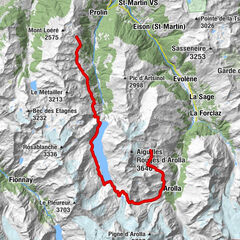
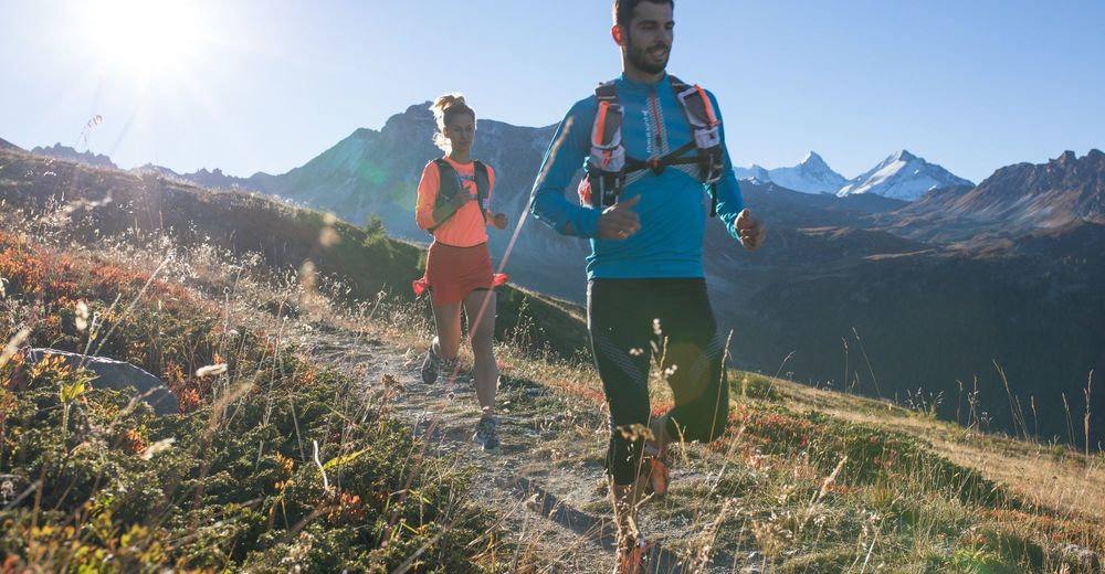
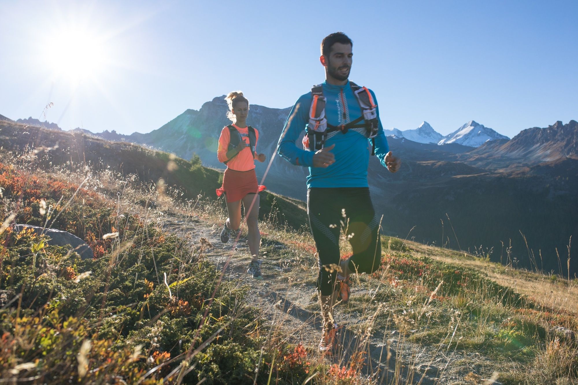
Run along a 16.8 km loop that partly follows the course of the iconic Sierre-Zinal race, in sight of the “Imperial Crown” of 4,000-metre peaks.
- Difficulty
-
medium
- Rating
-
- Starting point
-
St-Luc
- Route
-
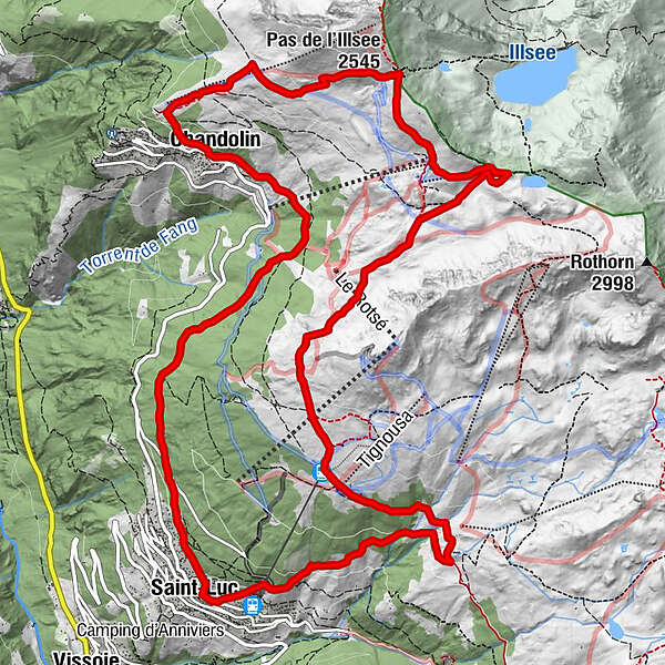
Chandolin (1,920 m)0.0 kmTsalè Nou0.7 kmCabane de l'Illhorn0.7 kmPlan des Violettes1.7 kmPlan du Cornier2.5 kmPas de l'Illsee (2,545 m)2.8 kmZornayégva3.0 kmLa Tsât5.0 kmTignousa (2,182 m)8.0 kmLes Fénis10.7 kmSaint-Luc (1,655 m)12.0 kmLes Boûss15.8 kmLes Tisses16.7 kmChandolin (1,920 m)16.7 km
- Best season
-
JanFebMarAprMayJunJulAugSepOctNovDec
- Description
-
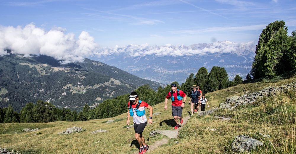
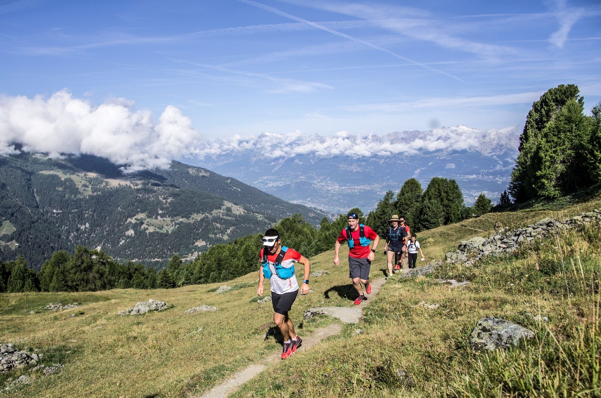
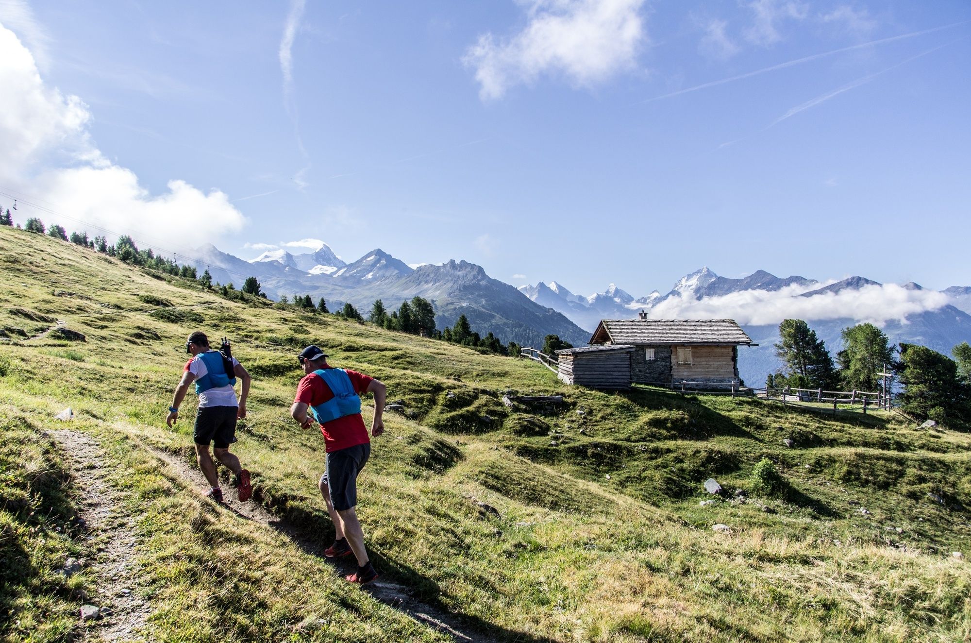
The official starting point of this trail is in the village of St-Luc, but you can also choose to begin at Chandolin, Tignousa or Le Tsapé – which can be reached by public transport, funicular or chairlift respectively. As you follow this loop, with a vertical ascent of 1,081 metres, you will be following part of the course of the iconic Sierre-Zinal trail running race, which attracts more than 5,000 participants of all levels every year in August. The route leads through villages and forests and across alpine pastures, in sight of the valley’s famous “Imperial Crown” of 4,000-metre peaks; it also takes in the fascinating Planets Trail. Up at the Pas de l’Illsee, where the French- and German-speaking regions of Valais meet, follow the trail of the Chenegouga, legendary creatures of the Val d’Anniviers that produce a hell of a din!
- Directions
-
Starting in St-Luc, follow a path that leads from the church towards Chandolin. The itinerary begins with a relatively steep climb above the village of St-Luc. Run for about five kilometres through a forest of larch and Swiss stone pine trees, typical of the Val d’Anniviers, until you reach Chandolin, one of Europe’s highest villages inhabited year-round. Continue your route across the Chandolin pastures to reach a col, the Pas de l’Illsee, and then traverse the mountainside to Le Tsapé. Then head up to another col, the Illpass, before turning off to the south to run along a wide track that offers a panoramic view of the Rhône valley; this takes you all the way to Tignousa. From here, follow the Planets Trail for several kilometres as far as the Hôtel Weisshorn, before tackling the final descent back to St-Luc via Les Girettes.
- Highest point
- 2,541 m
- Endpoint
-
St-Luc
- Height profile
-
 © outdooractive.com
 - Equipment
-
We recommend:
Good footwear Weather-appropriate clothing: always carry a waterproof jacket Hat or peak cap Sunscreen Water bottle Hiking poles - Safety instructions
-
Use of the trails and the information on this website is at your own risk. Local conditions may entail changes to routes. Valais/Wallis Promotion accepts no liability for the accuracy and completeness of information on this website.
For all trails:
Use marked trails only, and take note of all signposting – for both your own safety as well as that of grazing animals and to avoid disturbing wildlife. Close gates after passing through. Please treat other trail users, as well as the plants and animals, with respect.For mountain trails:
Take extra care protecting yourself from the sun at high altitudes. UV radiation can be exceptionally strong, even in cloudy weather. Plan your trail carefully: take the fitness level of each participant, weather forecast and season into consideration. Weather conditions can change quickly in the mountains, without warning. Appropriate clothing is therefore essential, along with adequate supplies of food and water. In case of uncertain weather conditions, turn back in good time. Inform others of the route you plan to take. Whenever possible, avoid going alone. Take note of warning signs indicating the constant danger in river beds and along watercourses below dams and reservoirs: water levels may rise rapidly without warning. - Tips
-
Explore the solar system along the Planets Trail between Tignousa and the Hôtel Weisshorn, and visit the François-Xavier Bagnoud astronomical observatory.
- Additional information
- Directions
-
Take the A9 motorway to junction 29 (“Sierre-Est”), then head up the Val d’Anniviers, following signs for St-Luc.
- Public transportation
-
Take a train to Sierre, then continue by PostBus to St-Luc.
- Parking
-
Parking is free in summer in the Val d'Anniviers. Park in the car park at the base station of the St-Luc funicular.

- Author
-
The tour Trail St-Luc/Chandolin is used by outdooractive.com provided.


General info
-
Oberwallis
121
-
Sierre Anniviers
48
-
St-Luc / Chandolin
25