
- Brief description
-
Magnificent route in the Valsorey valley via the Vélan and Valsorey huts.
- Difficulty
-
difficult
- Rating
-
- Starting point
-
Town Hall of Bourg-St-Pierre
- Route
-
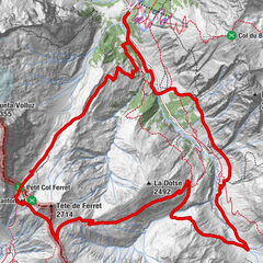
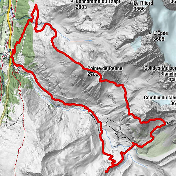
Bourg-Saint-Pierre (1,632 m)Pointe de Penne (2,782 m)6.0 kmCordonna (1,854 m)18.5 kmHôtel du Vieux Moulin20.1 kmBourg-Saint-Pierre (1,632 m)20.1 km
- Best season
-
JanFebMarAprMayJunJulAugSepOctNovDec
- Description
-
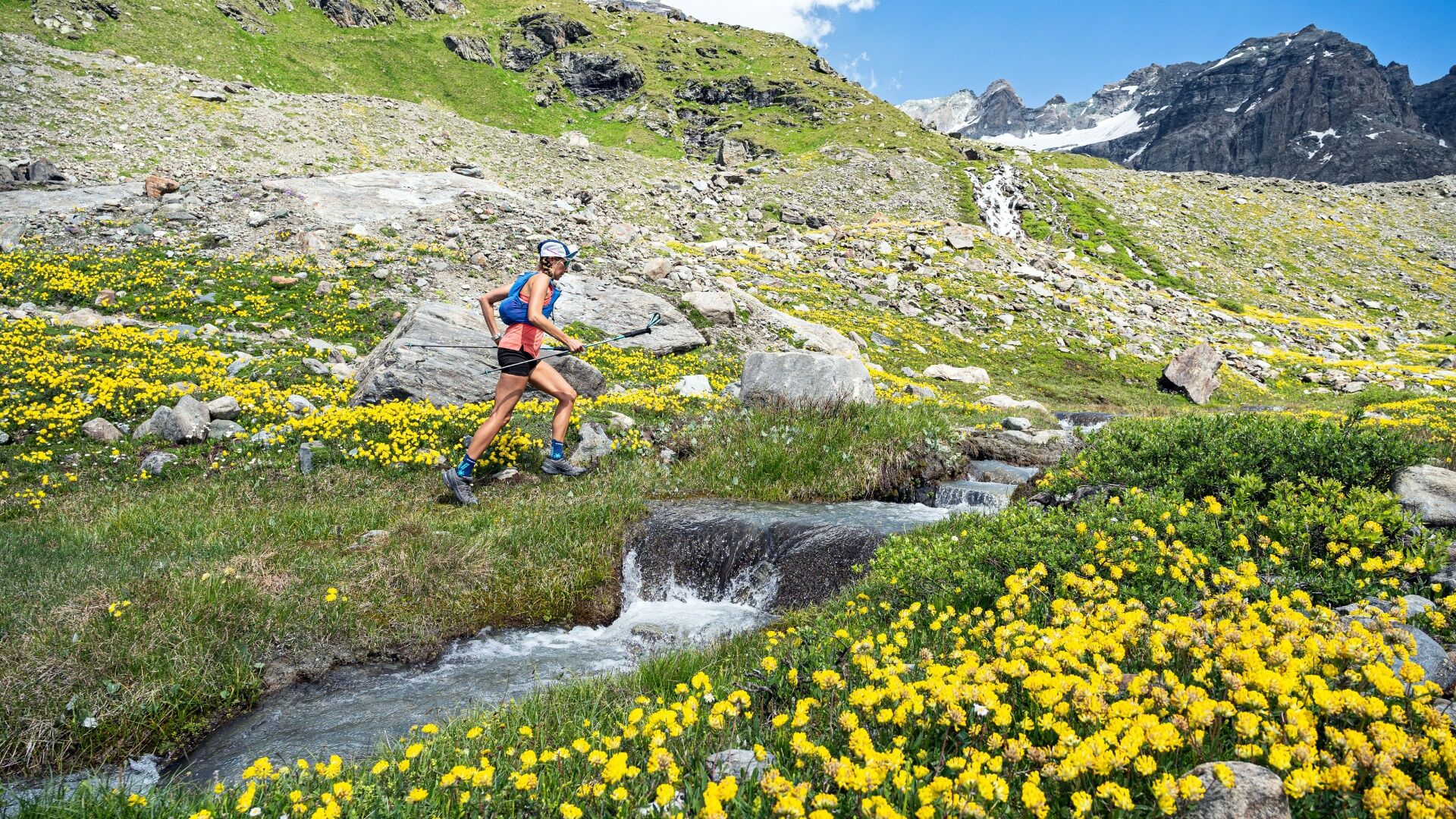
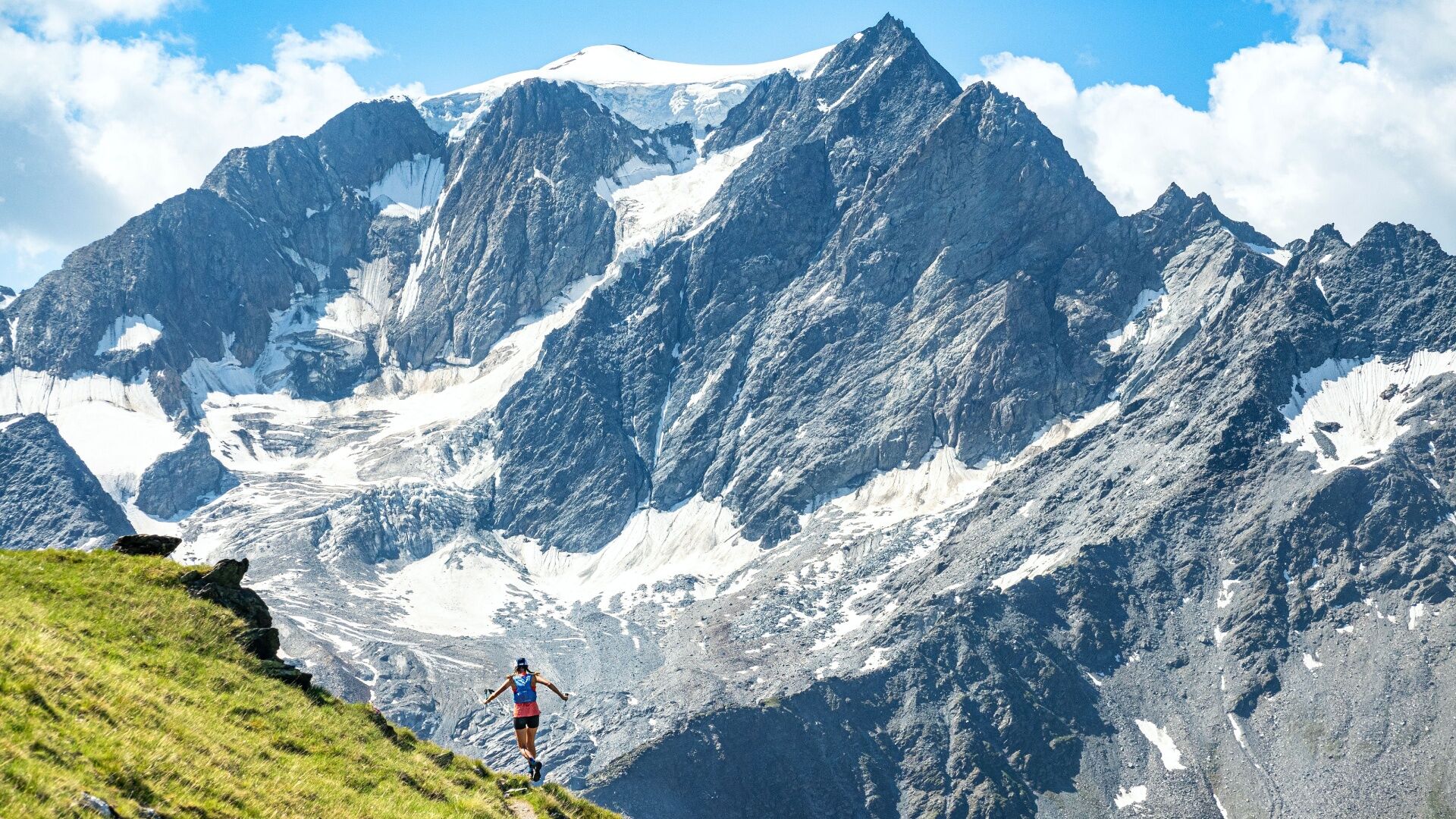
The route of the Vélan trail follows in the footsteps of an event organised every year at the end of July. The event first took place in 1977 in memory of the victims of an avalanche which hit the region in 1971.
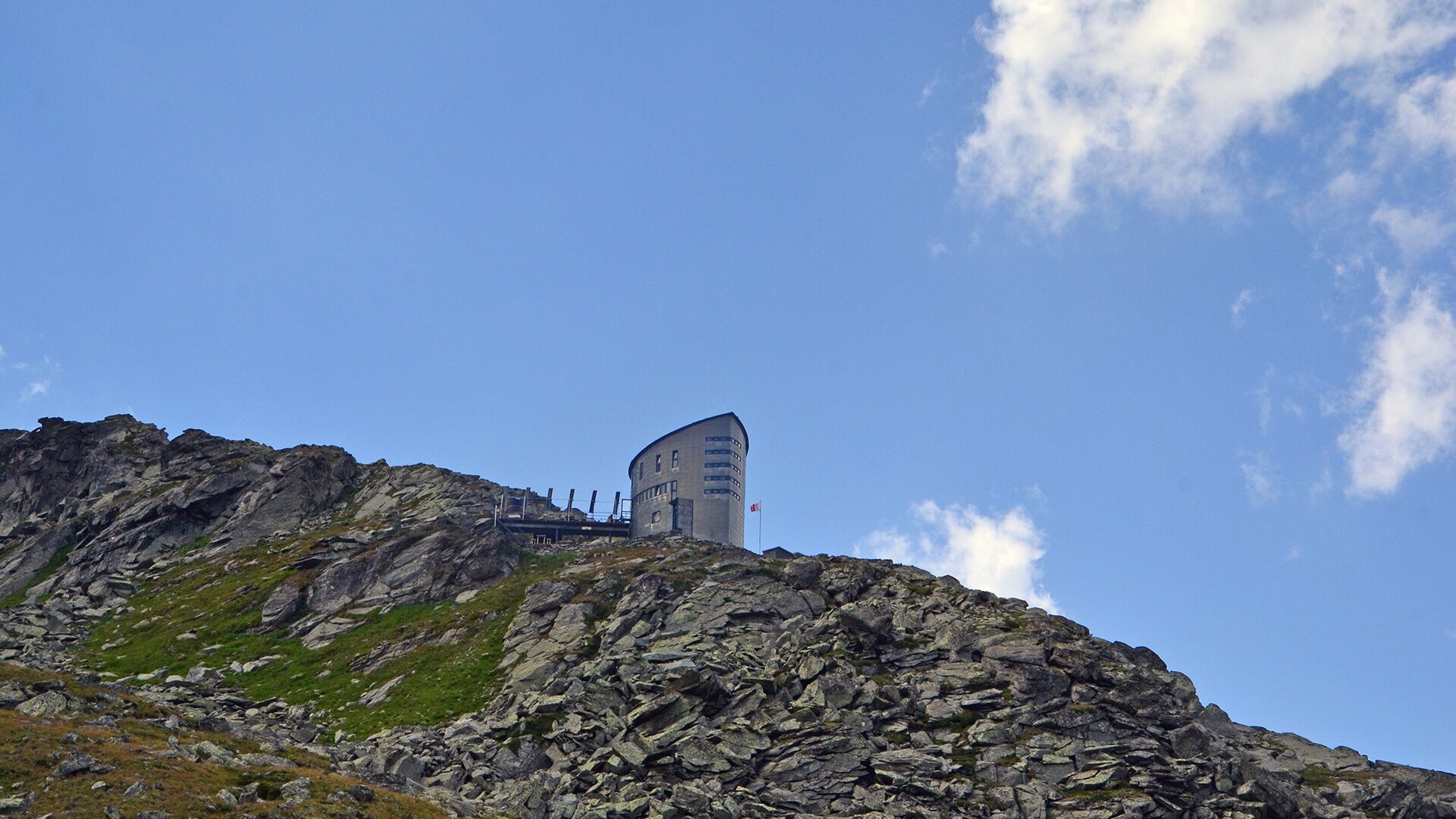
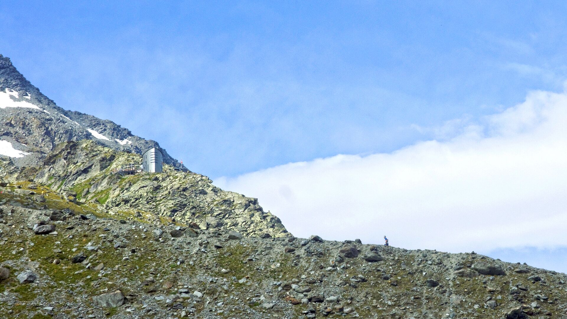
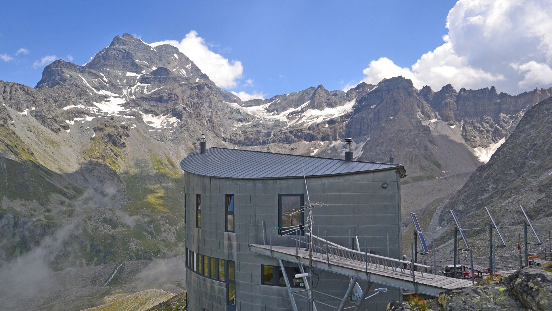
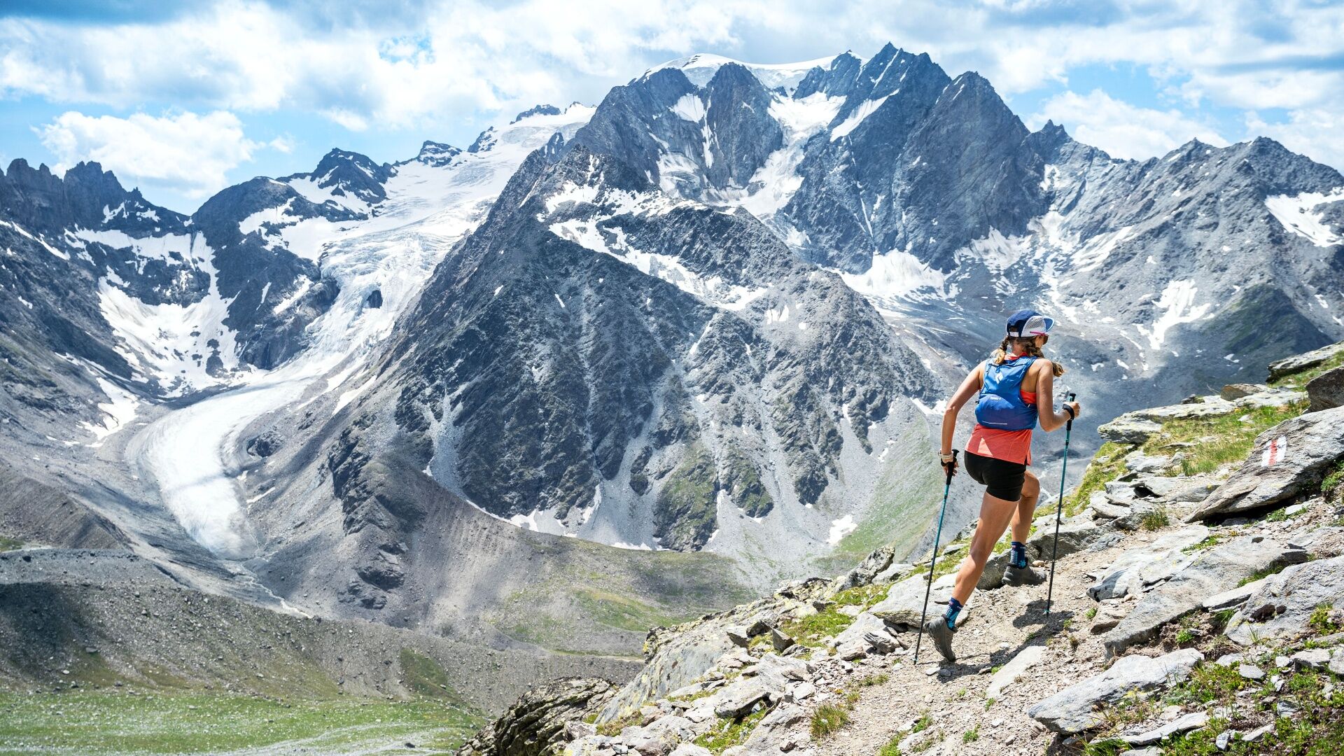
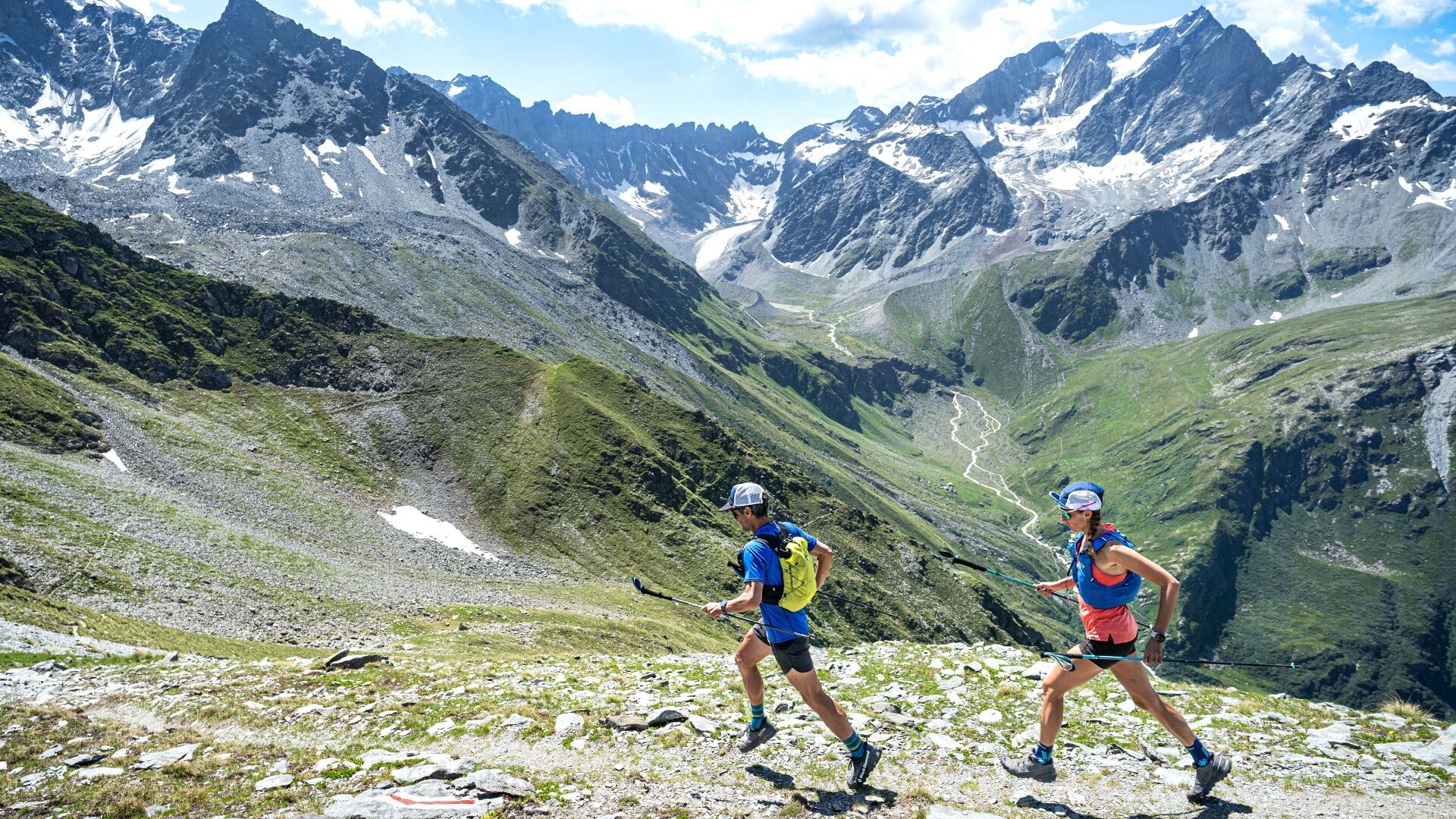
The trail takes the “panoramic route” to reach the Cabane de Valsorey with a section at more than 3,000 metres in altitude. The impressive panoramic view stretches all the way to Mont Blanc! The trail then heads downhill to the Combe de Valsorey before climbing along the moraine which leads to the Cabane du Vélan. Return to the village of Bourg-Saint-Pierre along the valley floor.
More information is available at www.trail-velan.ch.
- Directions
-
From Bourg St-Pierre join the church and turn left to go under the road of Gd St-Bernard. Take the road to Cordonne for a few meters then follow the direction of Azerin via the path then the alpine road to the alpine pasture of Azerin. Then join Challand and take the direction of the Valsorey hut via a steep path going up to a ridge. Stay on this panoramic trail which becomes more technical on its final part until you reach a path crossing under the Valsorey hut. Climb to the hut and then retrace your steps to the crossroads to descend to the Grands Plans. Turn left and go up to the Vélan hut. Then return to Bourg St-Pierre by the usual path from the hut via Chalet d'Amont and then Cordonne.
- Highest point
- 2,932 m
- Endpoint
-
Town Hall of Bourg-St-Pierre
- Height profile
-
 © outdooractive.com
 - Arrival
-
Exit the motorway at Martigny.
Follow the direction Grand-Saint-Bernard to Bourg-St-Pierre.
- Public transportation
- Parking
-
Free parking in front of the community house
- Author
-
The tour N°11 Trail du Vélan is used by outdooractive.com provided.