
- Brief description
-
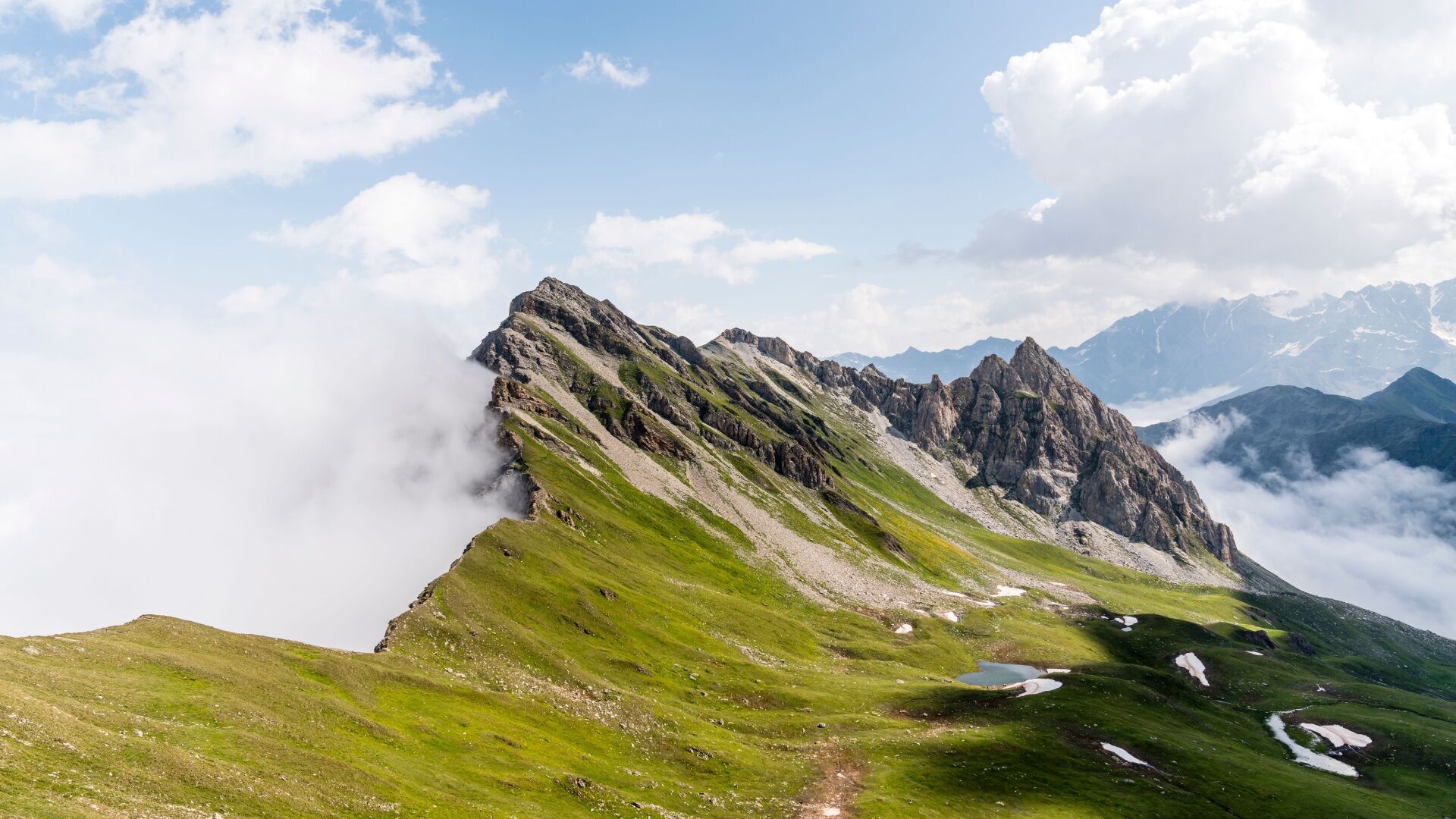
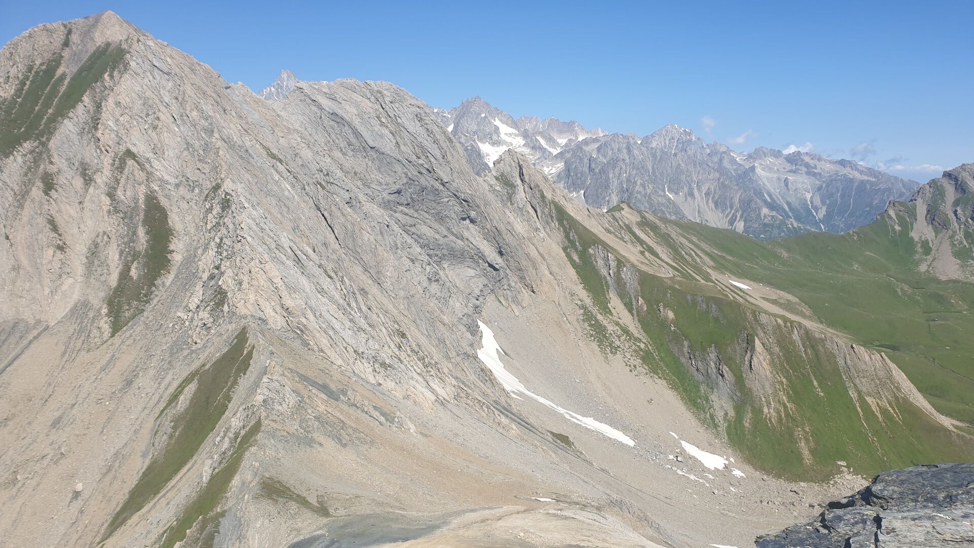
Very beautiful wild race which will make you discover the top of the Combe de l'A nature reserve.
- Difficulty
-
difficult
- Rating
-
- Starting point
-
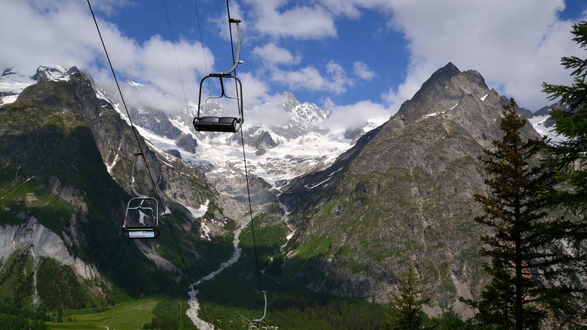
La Fouly Tourist Office
- Route
-
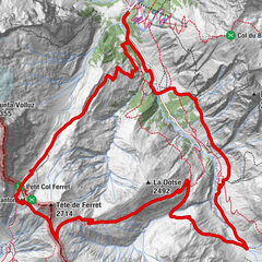
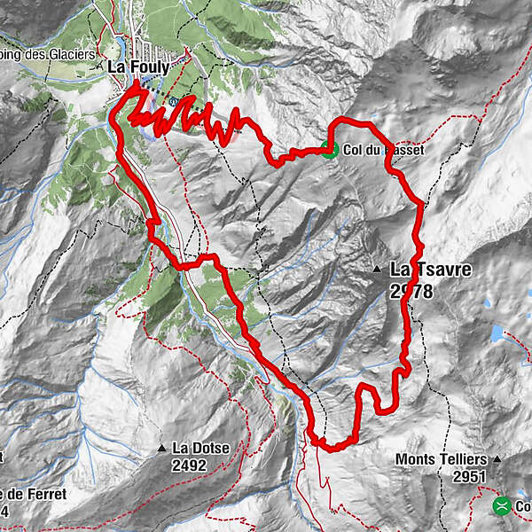
La FoulyAuberge des GlaciersArpalle 13.2 kmNeve de la Rousse (2,752 m)9.0 kmFerret15.6 kmLes Granges16.9 kmLe Clou17.3 kmAuberge des Glaciers18.2 kmLa Fouly18.2 km
- Best season
-
JanFebMarAprMayJunJulAugSepOctNovDec
- Directions
-
From the tourist office of La Fouly, take the small path on the right of the office and take the alpine road to the top of the chairlift. Then continue the ascent to the mountain pasture of La Fouly and take the small path to the top of Basset. Descend along the ridge and then reach the lake and the signpost. Take the small path on the right of the lake and then join the main path under the Névé de la Rousse pass. Climb up to the pass by a stony path before going down towards a shepherd's hut. Follow the winding path going down on the right side of a torrent up to Ars Dessus. Continue on the alpine road to the Ars Dessous mountain pasture before taking the route through the forest to Ferret. Leave the hamlet and cross 2 footbridges to return to La Fouly along the river and then on the main road for the last few metres.
- Highest point
- 2,742 m
- Endpoint
-
La Fouly Tourist Office
- Height profile
-
 © outdooractive.com
 - Directions
-
Exit the motorway at Martigny.
Follow the direction Grand-Saint-Bernard then leave the main road at Orsières and follow La Fouly.
- Public transportation
- Parking
-
Free parking in front of the tourist office

- Author
-
The tour N°10 Tour du Mont Ferret is used by outdooractive.com provided.