
- Brief description
-
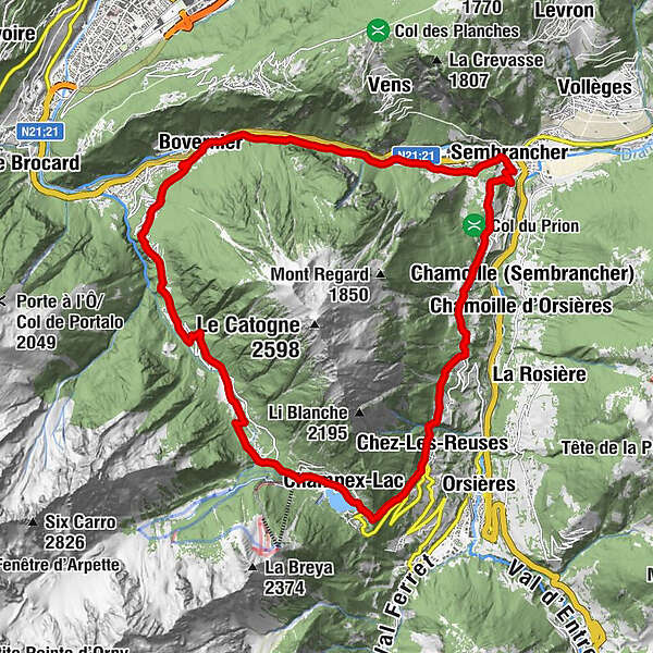
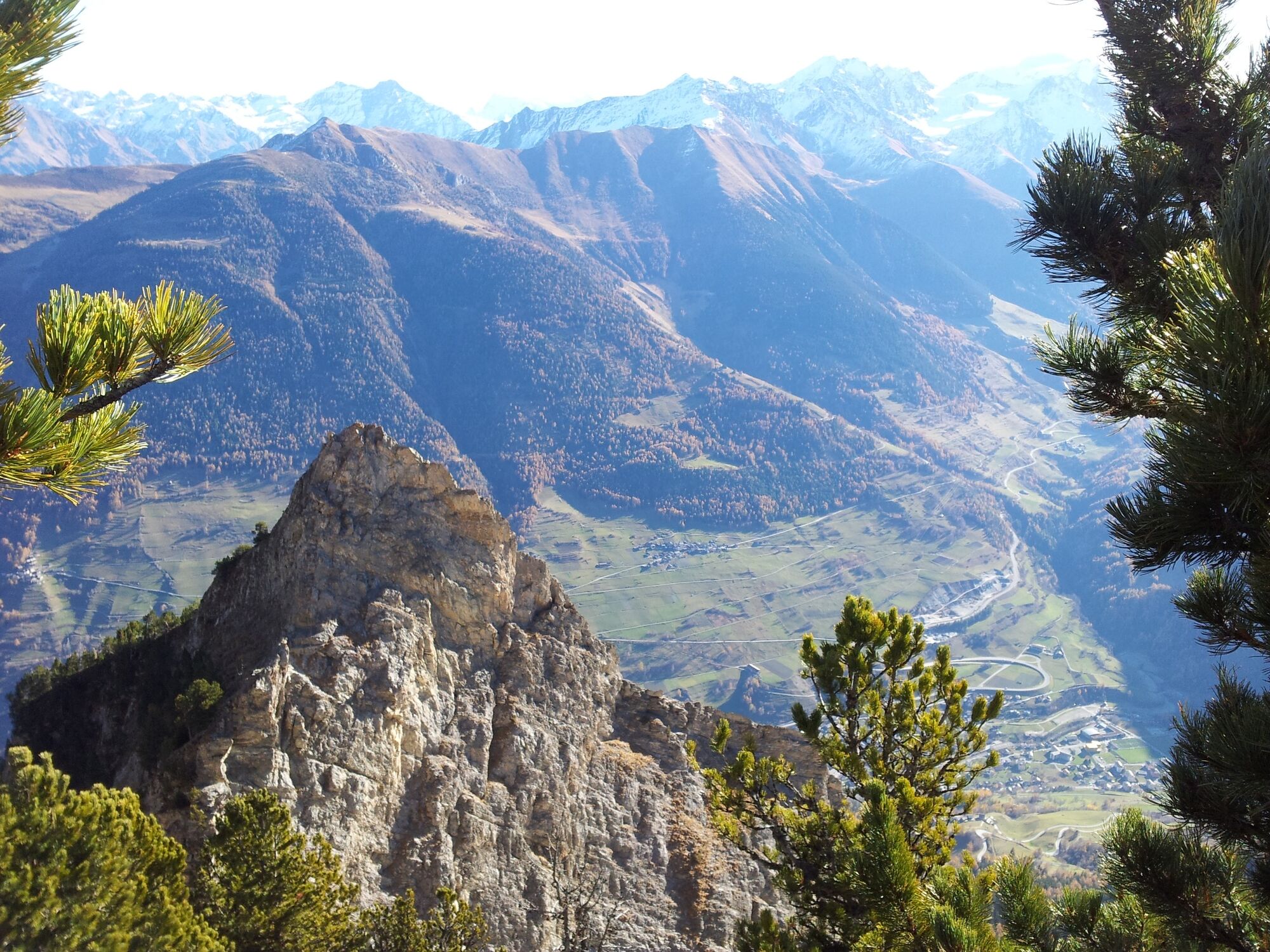
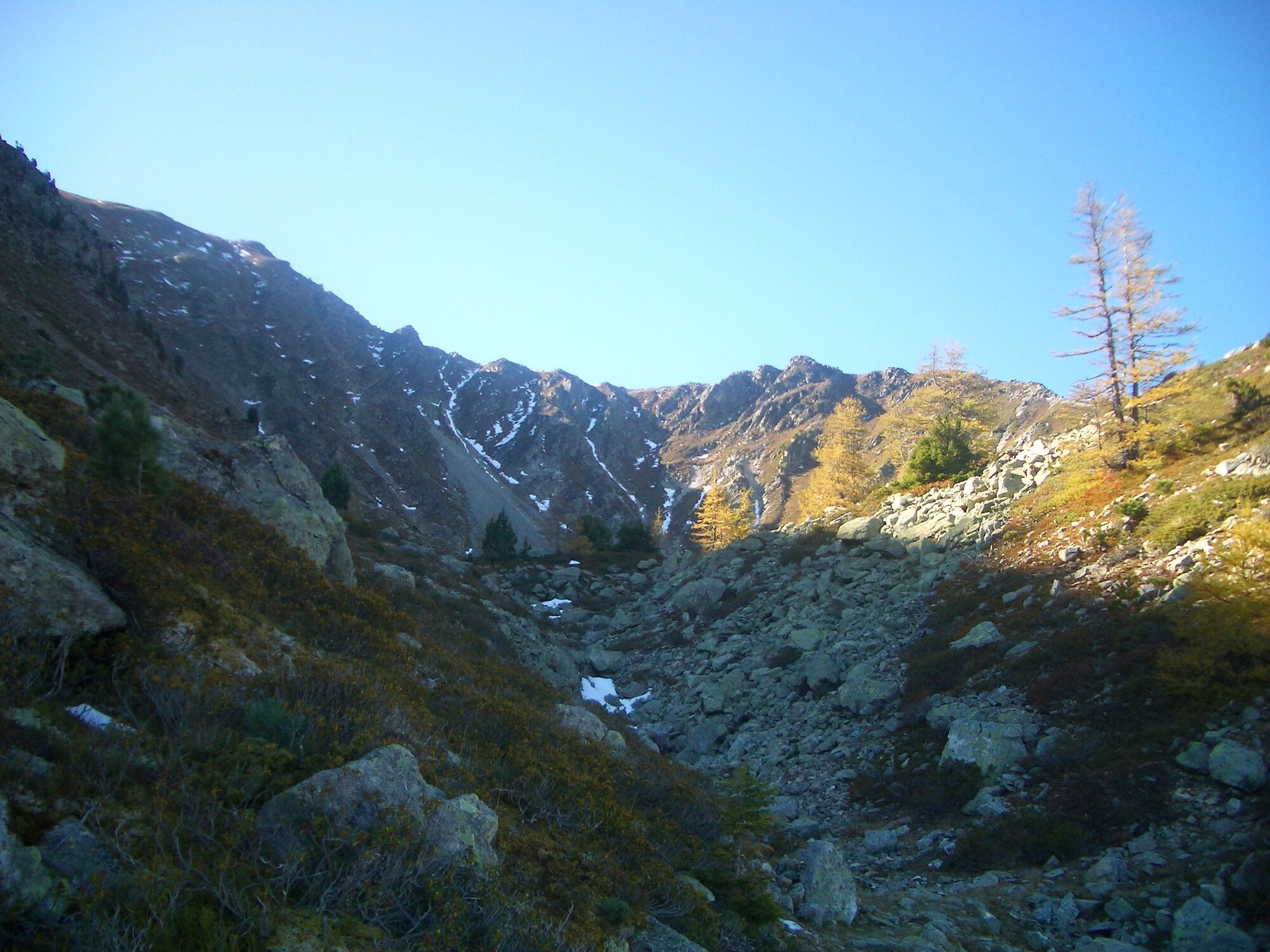
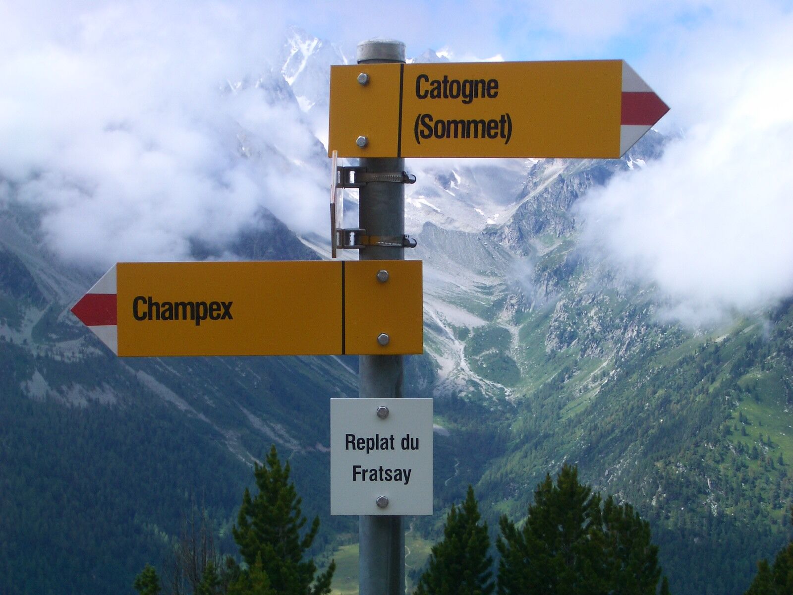
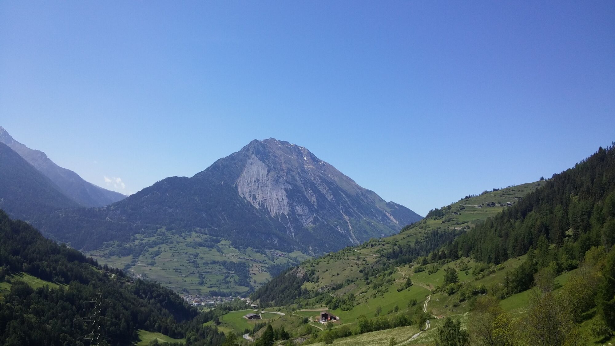
From Champex-Lac, you go around the Catogne, the emblematic mountain of the Pays du St-Bernard.
- Difficulty
-
difficult
- Rating
-
- Starting point
-
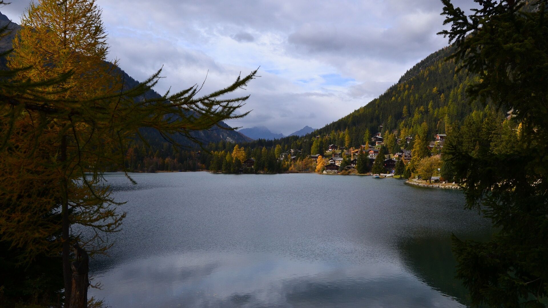
Champex-Lac Tourist Office
- Route
-
Champex-LacChampex d'en haut1.6 kmChampex d'en bas2.7 kmLa Poya4.5 kmLe Gondran4.8 kmLes Faves5.0 kmLe Poupro5.5 kmLe Crêtet5.9 kmLe Lombard6.6 kmBémont6.9 kmLes Valettes7.6 kmSaint Théodule8.8 kmBovernier (613 m)8.9 kmTsan de la Faille10.7 kmTunnel de la Monnaie11.5 kmPierra Gargantua11.8 kmSaut à Timothé12.5 kmPlanches d'en Bas12.7 kmPlanches d'en Haut12.8 kmLe Fays13.1 kmLe Fays d'en Bas13.1 kmLa Rappe13.3 kmCaloz Rouis13.4 kmLa Gravenne13.7 kmSembrancher (717 m)13.8 kmPré de l'Hôpital13.9 kmGrand Corty14.0 kmFond de Ville14.1 kmMaison Fabri14.1 kmConcordia14.1 kmÉglise Saint-Étienne14.1 kmHelvétia14.1 kmMaison Luder14.2 kmSouste14.2 kmRière Ville14.2 kmHôtel National14.2 kmSembrancher14.2 kmDerrière les Granges14.3 kmSommet de Ville14.3 kmGrange à Body14.4 kmRière les Puces14.4 kmCleusuit Devant14.4 kmCreuse14.4 kmTête de la Chaux14.7 kmChamp de l'Ouraz15.8 kmChampcortay d'en Bas16.1 kmFond du Creux16.3 kmLes Biolles16.3 kmVers la Croix16.3 kmCreuland16.4 kmLa Garde16.4 kmRière les Maisons16.5 kmLes Grevets16.6 kmLes Fieudzes16.6 kmValettes16.6 kmCaret16.6 kmSoulalex18.4 kmVerlonnaz19.4 kmChez-Les-Reuses20.4 kmLe Biolley20.7 kmChampex-Lac22.6 km
- Best season
-
JanFebMarAprMayJunJulAugSepOctNovDec
- Description
-
This tour is an excellent trail route that goes around the Catogne via Champex-Lac, Bovernier, Sembrancher, Soulalex and Chez-Les-Reuses.
- Directions
-
From the Champex-Lac tourist office, follow the road towards the chairlift and then take the direction of Champex from below. Go down along the valley crossing different hamlets such as Champex d'en bas or the Marioty. Continue the descent alternating between road and small path until you reach Bémont. At the exit of the hamlet reach a hairpin and follow the dirt road downhill towards the village of Bovernier. Turn right in the village and follow the road to Gd St-Bernard for a short while before passing in front of the forest shed. Pass by a fountain and then take the path in the woods along the left bank of the Dranse river until you reach the Sembrancher railway station. Go through the village and then take the direction of the Guard. Continue climbing via the villages of Soulalex and Chez-Les-Reuses before reaching the centre of Champex-Lac along the lake.
- Highest point
- 1,493 m
- Endpoint
-
Champex-Lac Tourist Office
- Height profile
-
 © outdooractive.com
 - Tips
-
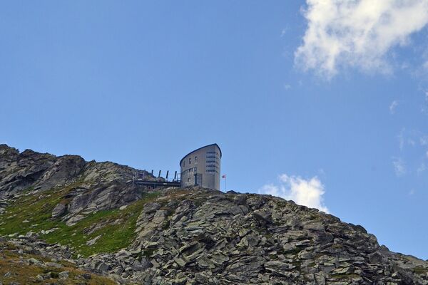
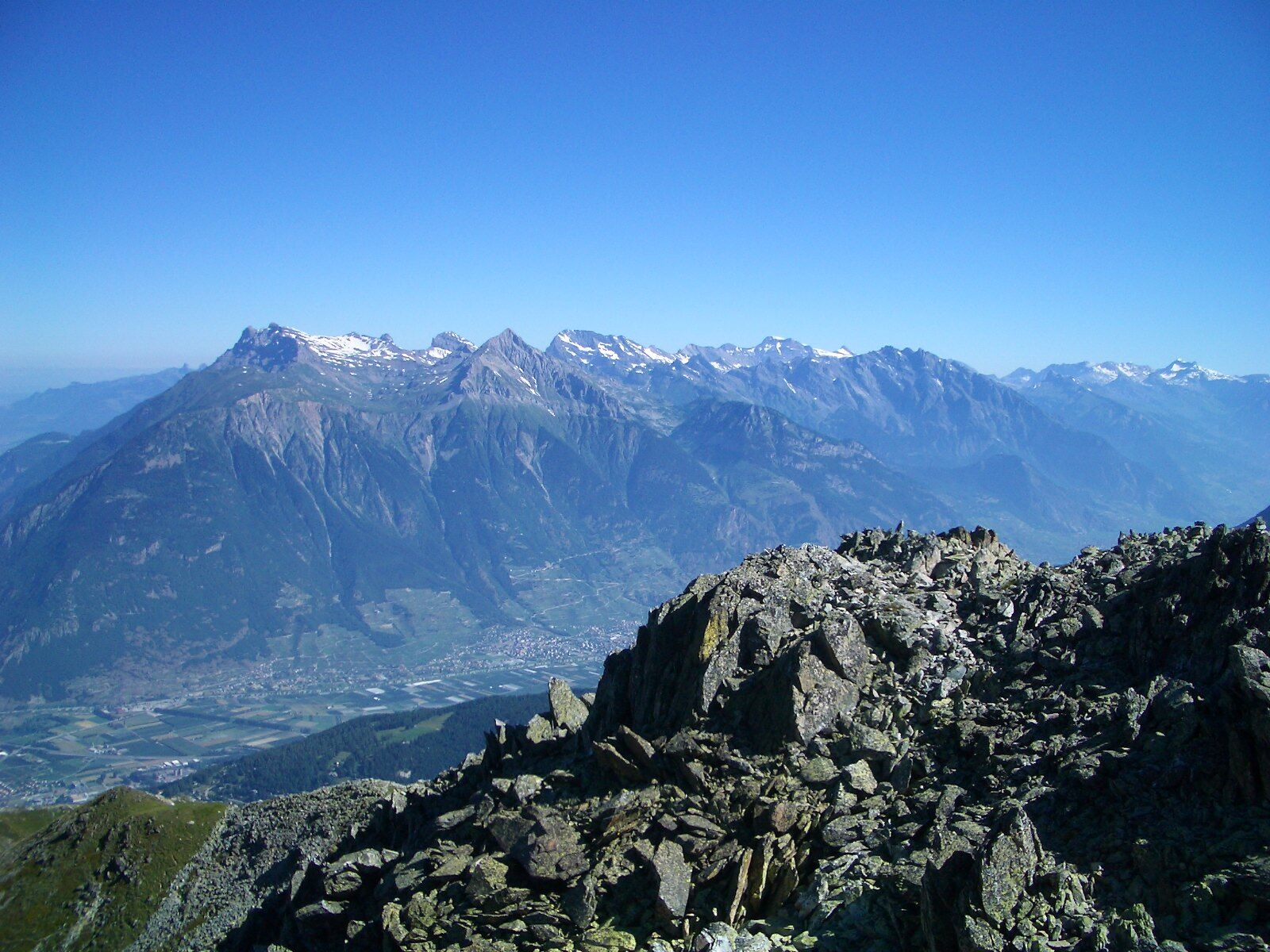
Once you've done this route, you'll probably want to climb to the top of the Catogne. The view is breathtaking!
- Additional information
-
Did you know that the Catogne is visible from the shores of Lake Geneva (Vevey)? When you look at it, it looks like a volcano!
- Directions
-
Exit the motorway at Martigny.
Follow the direction Grand-Saint-Bernard then leave the main road at Orsières and follow Champex-Lac.
It is also possible to leave the main road at Bovernier and go through Les Valettes but the road is narrow and very winding.
- Public transportation
- Parking
-
Free parking near the lake
- Author
-
The tour N°03 Tour du Catogne is used by outdooractive.com provided.